Sergehill

Settlement in Hertfordshire St. Albans

England

Sergehill

Toms Lane, Kings Langley
Toms Lane, Kings Langley Credit: Malc McDonald

Sergehill is a small village located in the county of Hertfordshire, England. Situated approximately 30 miles north of London, it falls within the borough of Dacorum. The village is surrounded by picturesque countryside and offers a peaceful and rural atmosphere, making it an ideal place for those seeking a tranquil lifestyle away from the hustle and bustle of city living.

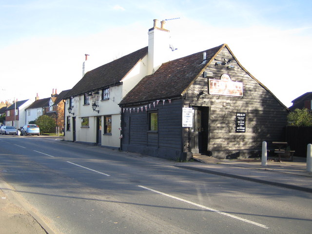
Sergehill boasts a rich history dating back to medieval times. The village is home to several well-preserved historic buildings, including St. Mary's Church, which dates back to the 13th century and is known for its beautiful architecture and stained glass windows. The village also features a number of charming thatched cottages, adding to its quaint and traditional character.

Despite its small size, Sergehill offers a range of amenities and services to its residents. There is a local primary school, providing education for the younger population, and a village hall that acts as a central hub for community events and gatherings. The village is well-connected to surrounding areas, with good transport links to nearby towns and cities.

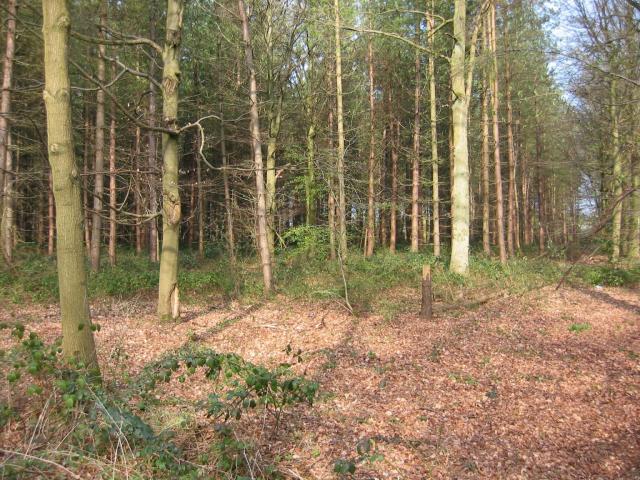
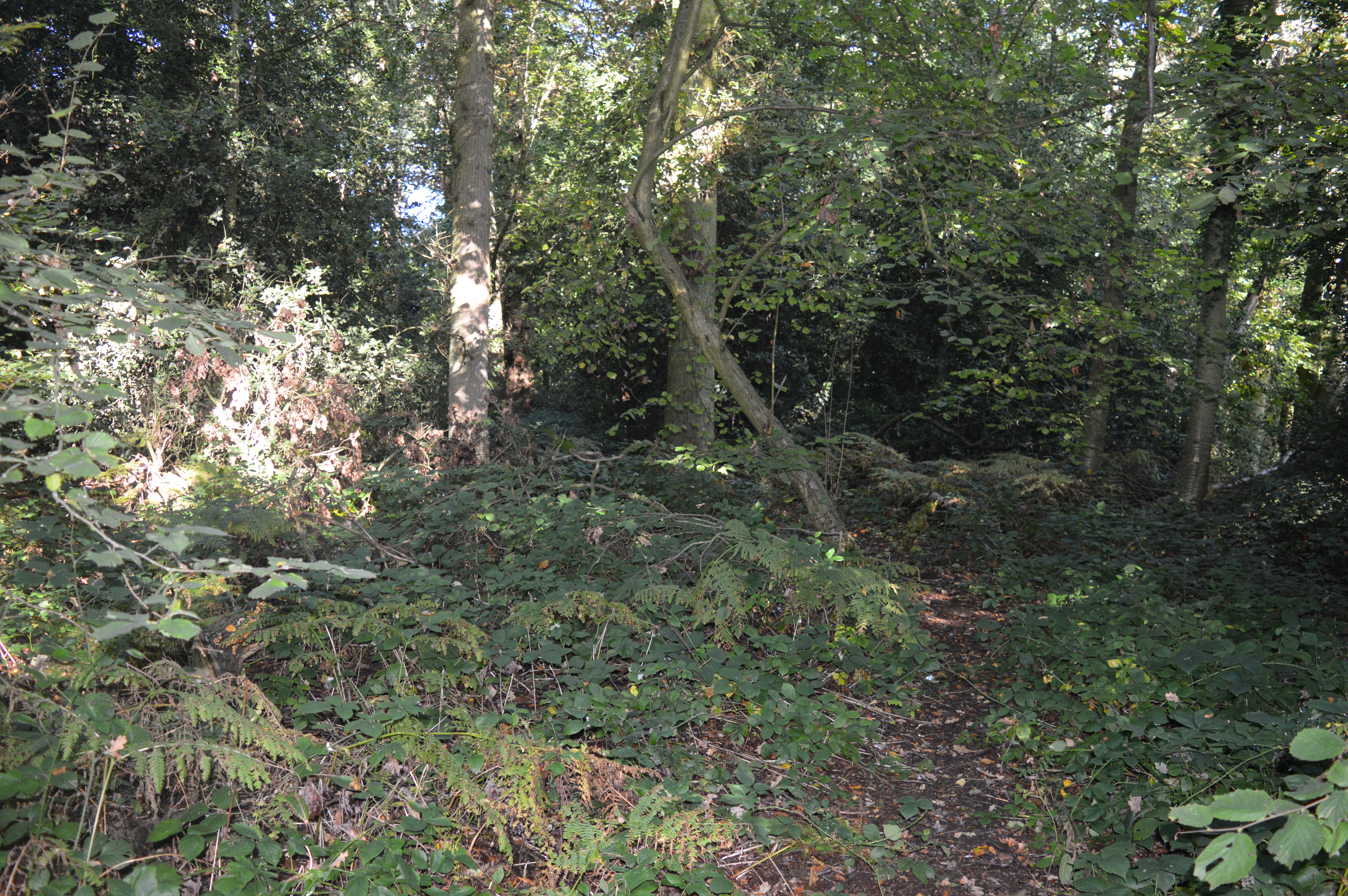
Surrounded by rolling hills and scenic landscapes, Sergehill is a haven for nature lovers. There are several walking and cycling routes in the area, allowing residents to explore the surrounding countryside and enjoy the fresh air. Additionally, nearby attractions such as Ashridge Estate and Whipsnade Zoo offer further opportunities for outdoor recreation and leisure activities.

In summary, Sergehill is a charming village in Hertfordshire that combines a rich history with a peaceful rural setting. With its historic buildings, scenic surroundings, and community spirit, it offers a delightful place to live for those seeking a quieter lifestyle.

If you have any feedback on the listing, please let us know in the comments section below.
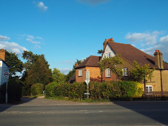
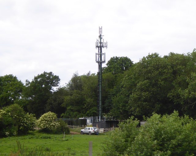
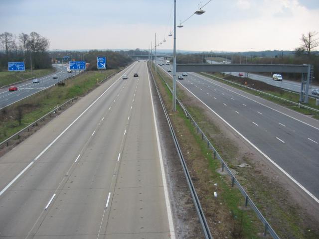
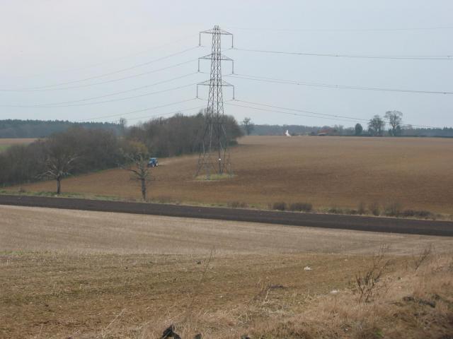
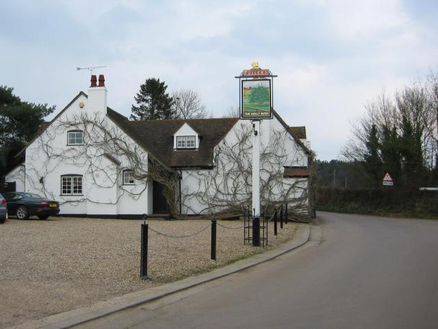
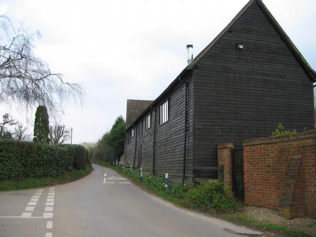
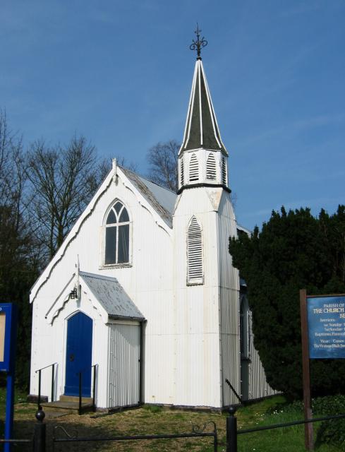
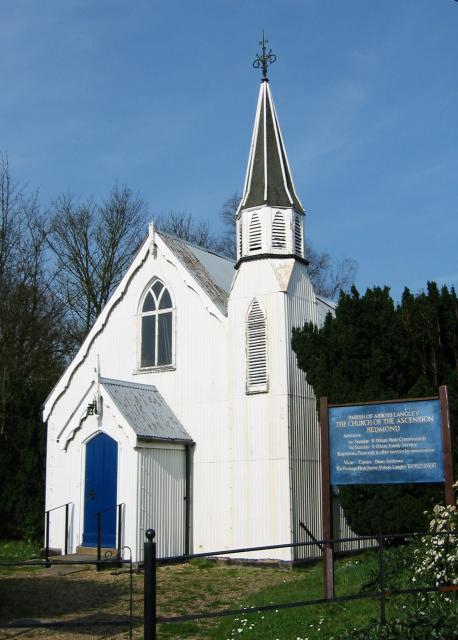
Sergehill Images

Images are sourced within 2km of 51.725023/-0.39843979 or Grid Reference TL1004. Thanks to Geograph Open Source API. All images are credited.

Toms Lane, Kings Langley
Toms Lane, Bedmond Toms Lane approaching the centre of Bedmond, a village in west Hertfordshire.
Toms Lane, Bedmond
Toms Lane approaching the centre of Bedmond, a village in west Hertfordshire.
Millhouse Lane, Bedmond
Church of the Ascension, Bedmond The Church of the Ascension in Bedmond is a prefabricated building.  According to the BBC website <span class="nowrap"><a title="http://www.bbc.co.uk/news/uk-england-beds-bucks-herts-12580526" rel="nofollow ugc noopener" href="http://www.bbc.co.uk/news/uk-england-beds-bucks-herts-12580526">Link</a><img style="margin-left:2px;" alt="External link" title="External link - shift click to open in new window" src="https://s1.geograph.org.uk/img/external.png" width="10" height="10"/></span> it is one of only two such churches in the country.

The church is situated on the corner of Church Hill and Sergehill Lane.
Church of the Ascension, Bedmond
The Church of the Ascension in Bedmond is a prefabricated building. According to the BBC website LinkExternal link it is one of only two such churches in the country. The church is situated on the corner of Church Hill and Sergehill Lane.
Church Hill, Bedmond Church Hill entering the Hertfordshire village of Bedmond.
Church Hill, Bedmond
Church Hill entering the Hertfordshire village of Bedmond.
Sergehill Lane, Bedmond This image was taken late on a September afternoon, as shadows were lengthening.
Sergehill Lane, Bedmond
This image was taken late on a September afternoon, as shadows were lengthening.
Sign gantry and footbridge over M25, 1 mile before junction 21 The signs on this gantry appear to have been added successively, to create an unusual outline.  The bridge carries  a footpath from Bedmond to Abbots Langley, passing the school
Sign gantry and footbridge over M25, 1 mile before junction 21
The signs on this gantry appear to have been added successively, to create an unusual outline. The bridge carries a footpath from Bedmond to Abbots Langley, passing the school
Mobile phone mast near Bedmond, seen from M25
Three Rivers : M25 Motorway The M25 Motorway between Junction 21A (Bricket Wood) and Junction 20 (Kings Langley).
Three Rivers : M25 Motorway
The M25 Motorway between Junction 21A (Bricket Wood) and Junction 20 (Kings Langley).
Abbots Langley : Dairy Way
On the M25 clockwise with footbridge crossing the motorway
M1/M25 Junction It's noisy, hostile and bleak but the motorway junction occupies about half the entire grid square so is the dominating feature. Photo taken looking South down the M1 from the bridge at TL115038.
M1/M25 Junction
It's noisy, hostile and bleak but the motorway junction occupies about half the entire grid square so is the dominating feature. Photo taken looking South down the M1 from the bridge at TL115038.
Pylon and copse Looking North from TL117043, we see the power lines jump over a little copse. That's pretty much the most significant landmark in the grid square.
Pylon and copse
Looking North from TL117043, we see the power lines jump over a little copse. That's pretty much the most significant landmark in the grid square.
The 'Holly Bush' at Potters Crouch The 'Holly Bush' pub at Potters Crouch: a village of about 4 houses.
And yes, Potters Crouch is its real name - I'm not making it up.
The 'Holly Bush' at Potters Crouch
The 'Holly Bush' pub at Potters Crouch: a village of about 4 houses. And yes, Potters Crouch is its real name - I'm not making it up.
Barn-like house, Potters Crouch Looking East into Potters Crouch on the road from Bedmond (at TL114052).
Barn-like house, Potters Crouch
Looking East into Potters Crouch on the road from Bedmond (at TL114052).
Corrugated tin church, Bedmond The Church Of The Ascension at Bedmond, in the NE corner of the grid square, is very small and seems to be built almost entirely from sheets of corrugated metal.
Corrugated tin church, Bedmond
The Church Of The Ascension at Bedmond, in the NE corner of the grid square, is very small and seems to be built almost entirely from sheets of corrugated metal.
Tin church, Bedmond Another photo of the little sheet-metal church in Bedmond.
Tin church, Bedmond
Another photo of the little sheet-metal church in Bedmond.
Potterscrouch Plantations Looking East from the forestry track in Potterscrouch Plantations at TL104047.
Potterscrouch Plantations
Looking East from the forestry track in Potterscrouch Plantations at TL104047.
Show me another place!

Sergehill is located at Grid Ref: TL1004 (Lat: 51.725023, Lng: -0.39843979)

Administrative County: Hertfordshire

District: St. Albans

Police Authority: Hertfordshire

What 3 Words

///answer.never.bake. Near Abbots Langley, Hertfordshire

Related Wikis

Bedmond

Bedmond is a village in the civil parish of Abbots Langley, in the Three Rivers district of Hertfordshire, England. It is located around one mile (1.6...

Potters Crouch

Potters Crouch is a small hamlet in Hertfordshire, England, south-west of St Albans near Chiswell Green. It is in the civil parish of St Michael. ��2...

Longspring Wood

Longspring Wood is a 1.2-hectare (3.0-acre) nature reserve managed by the Herts and Middlesex Wildlife Trust in Kings Langley in Hertfordshire. The main...

Royal National Rose Society Gardens

The Royal National Rose Society Gardens, also known as The Gardens of The Rose, were the gardens and headquarters of The Royal National Rose Society at...

Nearby Amenities

Located within 500m of 51.725023,-0.39843979
Serge Hill
Place: hamlet
Lat/Long: 51.7255282/-0.398456
Power: pole
Lat/Long: 51.7274512/-0.4027189
The data included in this document is from www.openstreetmap.org. The data is made available under ODbL.

Have you been to Sergehill?

Leave your review of Sergehill below (or comments, questions and feedback).