Deadman Wood

Wood, Forest in Hertfordshire St. Albans

England

Deadman Wood

Toms Lane, Kings Langley A view north-eastwards along Toms Lane, heading out of Kings Langley.
Toms Lane, Kings Langley Credit: Malc McDonald

Deadman Wood is a picturesque woodland located in Hertfordshire, England. Situated in the southeastern part of the county, it covers an area of approximately 100 acres and is known for its breathtaking natural beauty. The wood is nestled between the villages of Standon and Puckeridge, offering a tranquil and serene environment for visitors to explore.

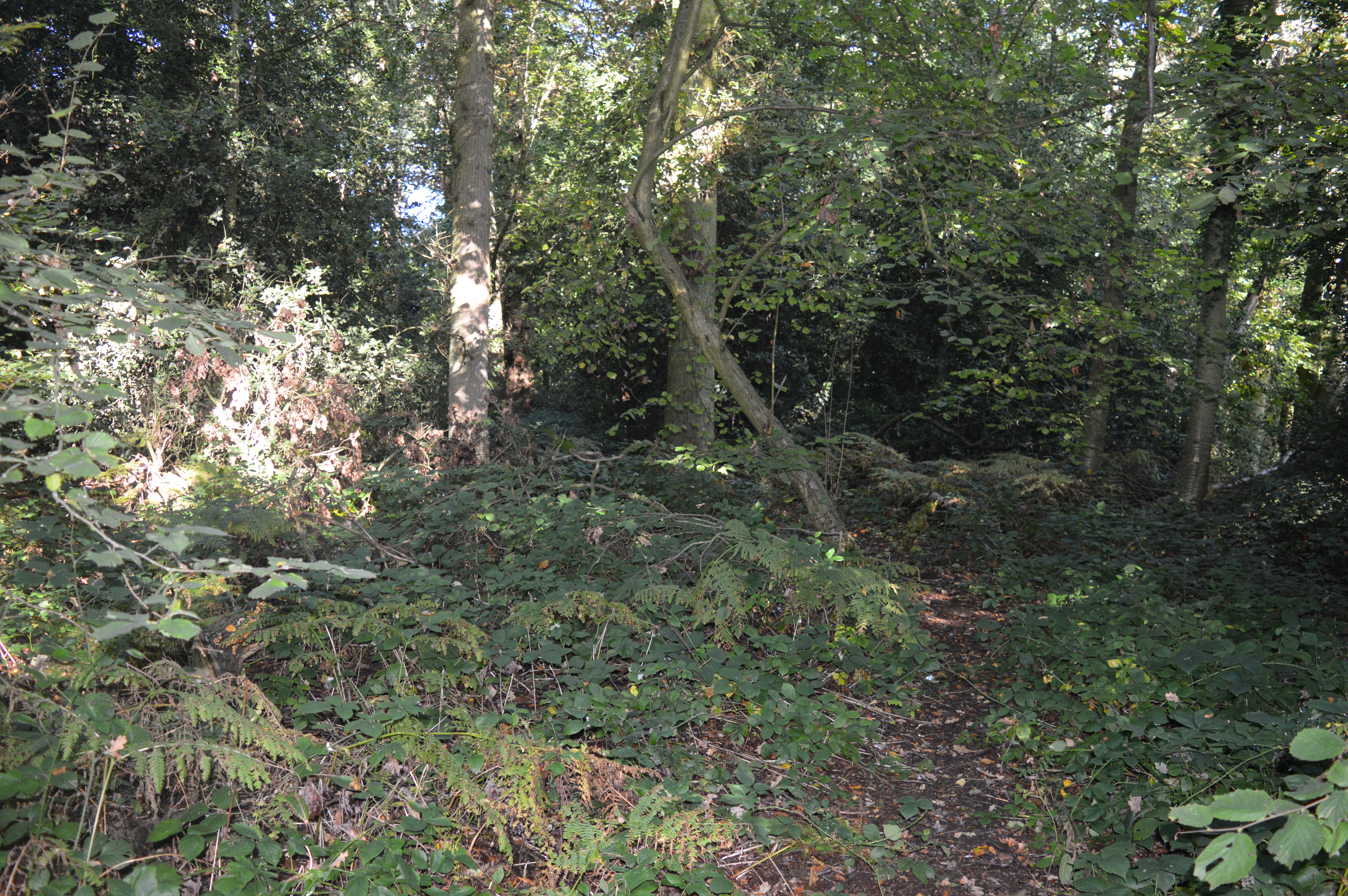
The woodland is predominantly composed of native broadleaf trees, including oak, beech, and birch, which create a dense and vibrant canopy. These trees provide a habitat for a diverse array of wildlife, making Deadman Wood a popular spot for nature enthusiasts and birdwatchers.

Several well-maintained footpaths wind their way through the wood, allowing visitors to immerse themselves in its stunning surroundings. These pathways provide access to various viewpoints, where one can admire the woodland's scenic vistas and observe the local flora and fauna. In the spring, the forest floor comes alive with a carpet of bluebells, creating a mesmerizing sight.

Deadman Wood also holds historical significance, with evidence of ancient human activity found within its boundaries. Archaeological finds, such as pottery shards and flint tools, suggest that the wood was inhabited during the Neolithic and Bronze Age periods.

Overall, Deadman Wood offers a tranquil retreat for those seeking a peaceful escape into nature. With its diverse wildlife, scenic trails, and rich history, it is a place where visitors can connect with the beauty and serenity of Hertfordshire's natural landscape.

If you have any feedback on the listing, please let us know in the comments section below.

Deadman Wood Images

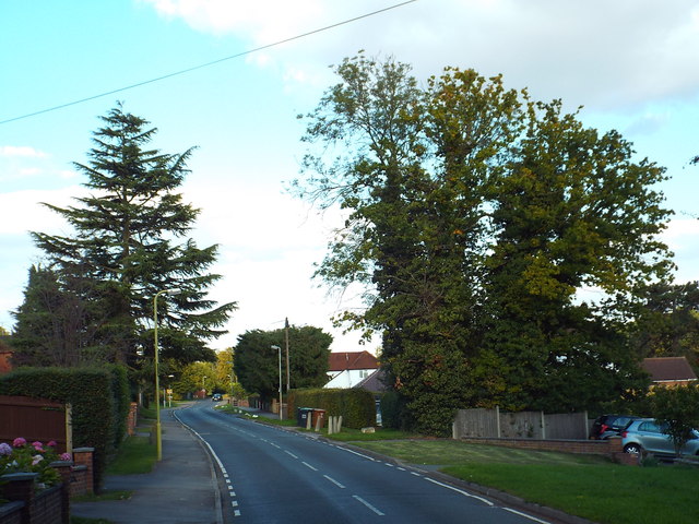
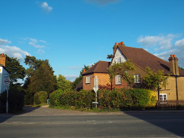
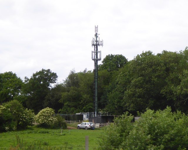
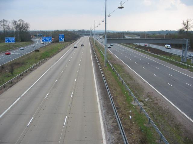
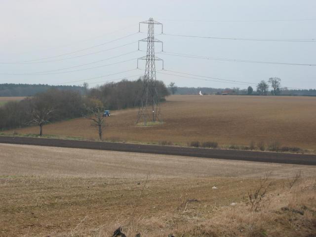
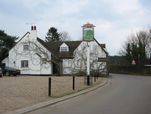
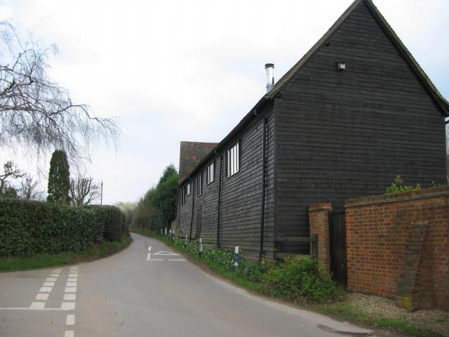
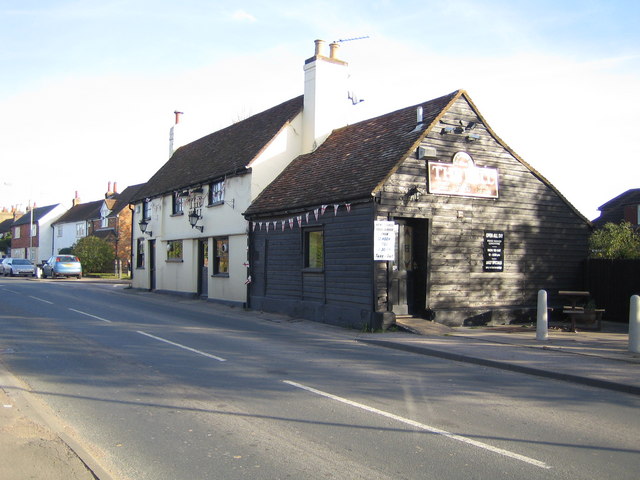
Images are sourced within 2km of 51.724912/-0.40546595 or Grid Reference TL1004. Thanks to Geograph Open Source API. All images are credited.

Toms Lane, Kings Langley A view north-eastwards along Toms Lane, heading out of Kings Langley.
Toms Lane, Kings Langley
A view north-eastwards along Toms Lane, heading out of Kings Langley.
Toms Lane, Kings Langley Toms Lane approaching a double-bend, as it heads out of Kings Langley.
Toms Lane, Kings Langley
Toms Lane approaching a double-bend, as it heads out of Kings Langley.
Toms Lane, Kings Langley
Toms Lane, Bedmond Toms Lane approaching the centre of Bedmond, a village in west Hertfordshire.
Toms Lane, Bedmond
Toms Lane approaching the centre of Bedmond, a village in west Hertfordshire.
Millhouse Lane, Bedmond
Church of the Ascension, Bedmond The Church of the Ascension in Bedmond is a prefabricated building.  According to the BBC website <span class="nowrap"><a title="http://www.bbc.co.uk/news/uk-england-beds-bucks-herts-12580526" rel="nofollow ugc noopener" href="http://www.bbc.co.uk/news/uk-england-beds-bucks-herts-12580526">Link</a><img style="margin-left:2px;" alt="External link" title="External link - shift click to open in new window" src="https://s1.geograph.org.uk/img/external.png" width="10" height="10"/></span> it is one of only two such churches in the country.

The church is situated on the corner of Church Hill and Sergehill Lane.
Church of the Ascension, Bedmond
The Church of the Ascension in Bedmond is a prefabricated building. According to the BBC website LinkExternal link it is one of only two such churches in the country. The church is situated on the corner of Church Hill and Sergehill Lane.
Church Hill, Bedmond Church Hill entering the Hertfordshire village of Bedmond.
Church Hill, Bedmond
Church Hill entering the Hertfordshire village of Bedmond.
Sergehill Lane, Bedmond This image was taken late on a September afternoon, as shadows were lengthening.
Sergehill Lane, Bedmond
This image was taken late on a September afternoon, as shadows were lengthening.
Log Circle This is the Forest School log circle at Abbots Langley School
Log Circle
This is the Forest School log circle at Abbots Langley School
Sign gantry and footbridge over M25, 1 mile before junction 21 The signs on this gantry appear to have been added successively, to create an unusual outline.  The bridge carries  a footpath from Bedmond to Abbots Langley, passing the school
Sign gantry and footbridge over M25, 1 mile before junction 21
The signs on this gantry appear to have been added successively, to create an unusual outline. The bridge carries a footpath from Bedmond to Abbots Langley, passing the school
Mobile phone mast near Bedmond, seen from M25
Three Rivers : M25 Motorway The M25 Motorway between Junction 21A (Bricket Wood) and Junction 20 (Kings Langley).
Three Rivers : M25 Motorway
The M25 Motorway between Junction 21A (Bricket Wood) and Junction 20 (Kings Langley).
Abbots Langley : Dairy Way
On the M25 clockwise with footbridge crossing the motorway
M1/M25 Junction It's noisy, hostile and bleak but the motorway junction occupies about half the entire grid square so is the dominating feature. Photo taken looking South down the M1 from the bridge at TL115038.
M1/M25 Junction
It's noisy, hostile and bleak but the motorway junction occupies about half the entire grid square so is the dominating feature. Photo taken looking South down the M1 from the bridge at TL115038.
Pylon and copse Looking North from TL117043, we see the power lines jump over a little copse. That's pretty much the most significant landmark in the grid square.
Pylon and copse
Looking North from TL117043, we see the power lines jump over a little copse. That's pretty much the most significant landmark in the grid square.
The 'Holly Bush' at Potters Crouch The 'Holly Bush' pub at Potters Crouch: a village of about 4 houses.
And yes, Potters Crouch is its real name - I'm not making it up.
The 'Holly Bush' at Potters Crouch
The 'Holly Bush' pub at Potters Crouch: a village of about 4 houses. And yes, Potters Crouch is its real name - I'm not making it up.
Barn-like house, Potters Crouch Looking East into Potters Crouch on the road from Bedmond (at TL114052).
Barn-like house, Potters Crouch
Looking East into Potters Crouch on the road from Bedmond (at TL114052).
Show me another place!

Deadman Wood is located at Grid Ref: TL1004 (Lat: 51.724912, Lng: -0.40546595)

Administrative County: Hertfordshire

District: St. Albans

Police Authority: Hertfordshire

What 3 Words

///soaks.buns.robot. Near Abbots Langley, Hertfordshire

Related Wikis

Bedmond

Bedmond is a village in the civil parish of Abbots Langley, in the Three Rivers district of Hertfordshire, England. It is located around one mile (1.6...

Longspring Wood

Longspring Wood is a 1.2-hectare (3.0-acre) nature reserve managed by the Herts and Middlesex Wildlife Trust in Kings Langley in Hertfordshire. The main...

Bedmond and Primrose Hill

Bedmond and Primrose Hill is a ward in Three Rivers, in England, the United Kingdom. It is located in south-west Hertfordshire, in the East of England...

International Crown

The Hanwha LifePlus International Crown is a biennial women's professional team golf tournament on the LPGA Tour. Eight national teams of four players...

Nearby Amenities

Located within 500m of 51.724912,-0.40546595
Pub
White Hart Inn
Toilets: yes
Toilets Access: customers
Wikidata: Q26631607
Lat/Long: 51.7229298/-0.4103246
Bedmond
Place: village
Wikidata: Q19174
Wikipedia: en:Bedmond
Lat/Long: 51.7225371/-0.409487
Bus Stop
Church Hill
Bus: yes
Naptan AtcoCode: 210021800680
Naptan Bearing: S
Naptan CommonName: Church Hill
Naptan Crossing: Church Hill
Naptan Indicator: S-bound
Naptan Landmark: Church Hill
Naptan NaptanCode: hrtajpwp
Naptan ShortCommonName: NA
Naptan Street: Bedmond Road
Naptan Verified: no
Public Transport: platform
Source: naptan_import
Lat/Long: 51.725514/-0.4118183
Bus Stop
Church Hill
Bus: yes
Naptan AtcoCode: 210021806060
Naptan Bearing: N
Naptan CommonName: Church Hill
Naptan Indicator: N-bound
Naptan Landmark: Unknown
Naptan NaptanCode: hrtagmwa
Naptan ShortCommonName: NA
Naptan Street: Bedmond Road
Naptan Verified: no
Public Transport: platform
Source: naptan_import
Lat/Long: 51.7251637/-0.4118451
Serge Hill
Place: hamlet
Lat/Long: 51.7255282/-0.398456
Barrier: kissing_gate
Lat/Long: 51.7229065/-0.411301
Post Box
Brand: Royal Mail
Brand Wikidata: Q638098
Brand Wikipedia: en:Royal Mail
Collection Times: Mo-Fr 16:00; Sa 10:30
Operator: Royal Mail
Operator Wikidata: Q638098
Post Box Type: pillar
Ref: WD5 152
Royal Cypher: EIIR
Royal Cypher Wikidata: Q33102113
Lat/Long: 51.7218161/-0.41072
Power: pole
Lat/Long: 51.7283778/-0.4034123
Power: pole
Lat/Long: 51.7274512/-0.4027189
The data included in this document is from www.openstreetmap.org. The data is made available under ODbL.

Have you been to Deadman Wood?

Leave your review of Deadman Wood below (or comments, questions and feedback).