School Lane
Settlement in Lancashire South Ribble
England
School Lane
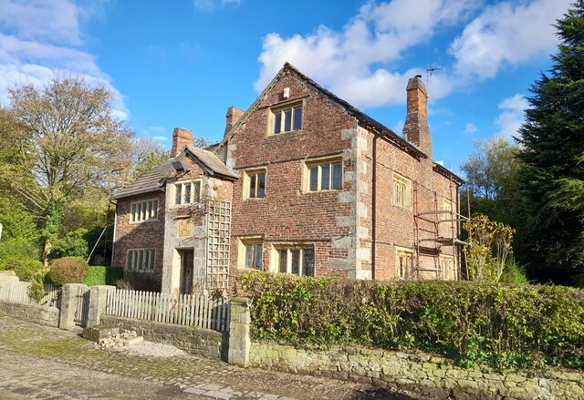
School Lane is a small village located in the county of Lancashire, in the northwest region of England. Situated in close proximity to the larger towns of Preston and Blackburn, School Lane is a quiet and predominantly residential area.
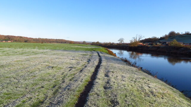
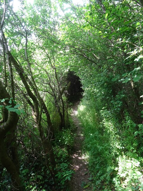
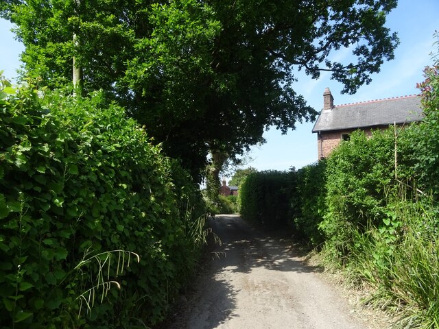
The village is characterized by its picturesque countryside surroundings, with rolling hills and lush green fields providing a peaceful ambiance. It is home to a close-knit community of residents, who enjoy the tranquility and charm that School Lane has to offer.
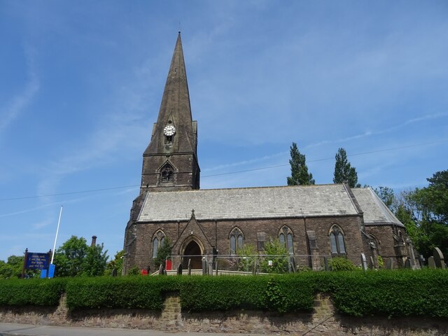
Although small in size, School Lane boasts a number of amenities and facilities for its residents. These include a primary school, which serves the local community and provides education for children in the area. The village also has a community center, where various activities and events are held throughout the year.
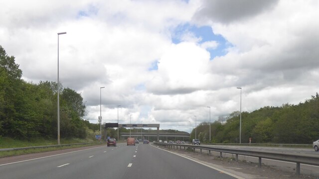
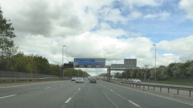
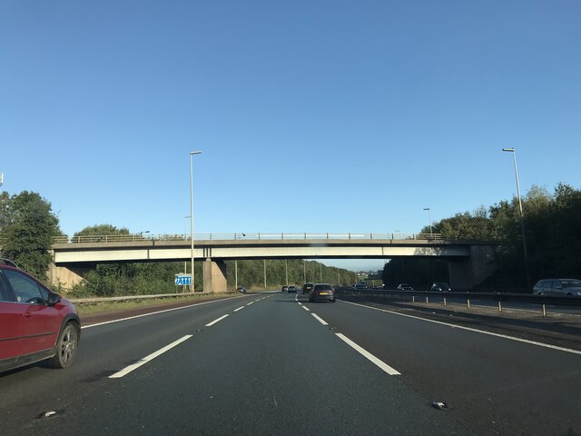
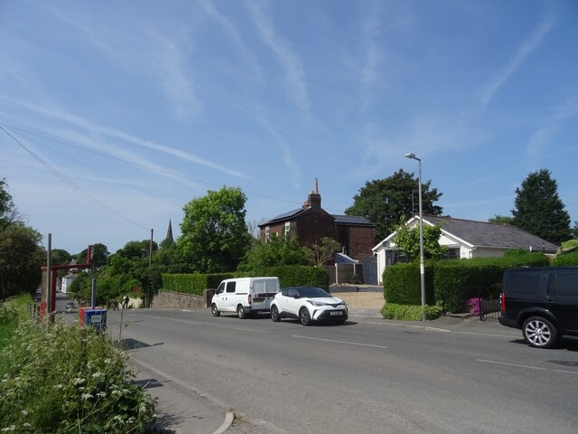
In terms of transportation, School Lane is well-connected to nearby towns and cities. The village is conveniently located near major roadways, including the M65 motorway, allowing for easy access to surrounding areas. Public transportation options are available, with regular bus services connecting School Lane to nearby towns and villages.
Overall, School Lane offers a peaceful and idyllic setting for its residents, with a strong sense of community and a range of amenities. Its location in Lancashire provides both a countryside escape and easy access to larger urban areas, making it an attractive place to live for those seeking a balance between rural and urban living.
If you have any feedback on the listing, please let us know in the comments section below.
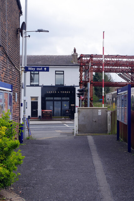
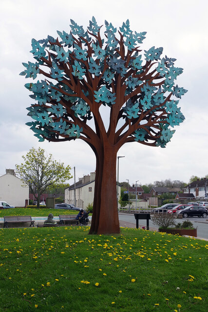
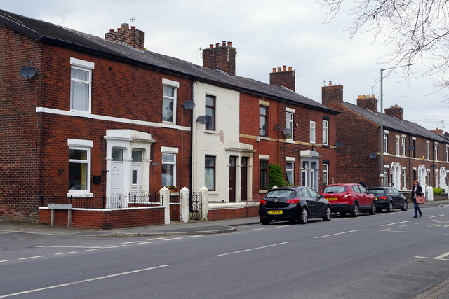
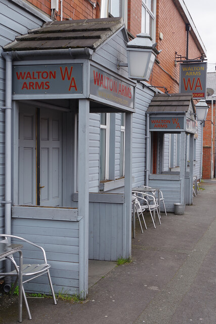
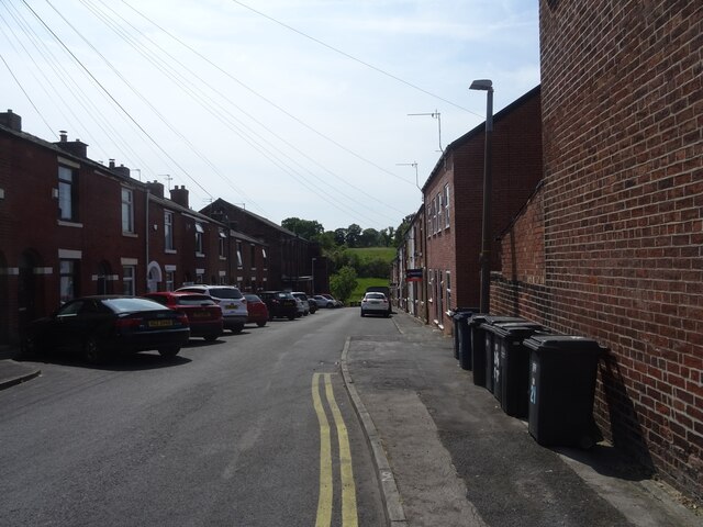
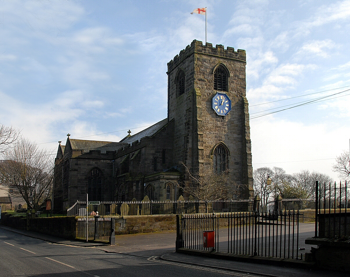
School Lane Images
Images are sourced within 2km of 53.73552/-2.6559384 or Grid Reference SD5626. Thanks to Geograph Open Source API. All images are credited.

School Lane is located at Grid Ref: SD5626 (Lat: 53.73552, Lng: -2.6559384)
Administrative County: Lancashire
District: South Ribble
Police Authority: Lancashire
What 3 Words
///deed.themes.boil. Near Clayton-le-Woods, Lancashire
Nearby Locations
Related Wikis

Walton-le-Dale High School
Walton-le-Dale High School, formerly known as Walton-le-Dale Arts College and High School, is a secondary school near Preston, Lancashire, England. �...
Brownedge St Mary's Catholic High School
Brownedge St Mary's Catholic High School is a coeducational secondary school located in Bamber Bridge in the English county of Lancashire.It is a voluntary...

Bamber Bridge
Bamber Bridge is a large village in Lancashire, England, 3 miles (5 km) south-east of Preston, in the borough of South Ribble. The name derives from the...

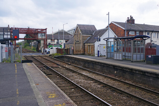
Bamber Bridge railway station
Bamber Bridge railway station serves the village of Bamber Bridge in Lancashire, England. It is situated on the East Lancashire Line and is managed by...

Higher Walton, Lancashire
Higher Walton is a village in South Ribble, Lancashire, England. It is on the old road between Blackburn and Preston where it crosses the River Darwen...

All Saints Church, Higher Walton
All Saints Church is in Blackburn Road in the village of Higher Walton, Lancashire, England. It is an active Anglican parish church in the deanery of Leyland...
Walton-le-Dale
Walton-le-Dale is a large village in the borough of South Ribble, in Lancashire, England. It lies on the south bank of the River Ribble, opposite the city...
Bamber Bridge F.C.
Bamber Bridge Football Club is a football club based in Bamber Bridge, near Preston, Lancashire, England. They are currently members of the Northern Premier...
Nearby Amenities
Located within 500m of 53.73552,-2.6559384Have you been to School Lane?
Leave your review of School Lane below (or comments, questions and feedback).