Holland Slack

Settlement in Lancashire South Ribble

England

Holland Slack

M6 northbound
M6 northbound Credit: Alpin Stewart

Holland Slack is a small village located in the county of Lancashire, England. Situated in the northern part of the county, it lies approximately 6 miles east of the city of Lancaster and 2 miles northwest of the town of Garstang. The village is nestled amidst picturesque countryside and is known for its rural charm.

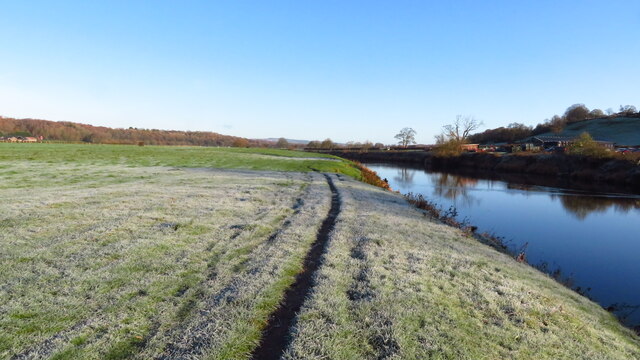
Holland Slack is characterized by its quaint and peaceful atmosphere, offering a tranquil escape from the hustle and bustle of nearby urban areas. The village is surrounded by rolling hills, green meadows, and farmland, providing a scenic backdrop for residents and visitors alike.

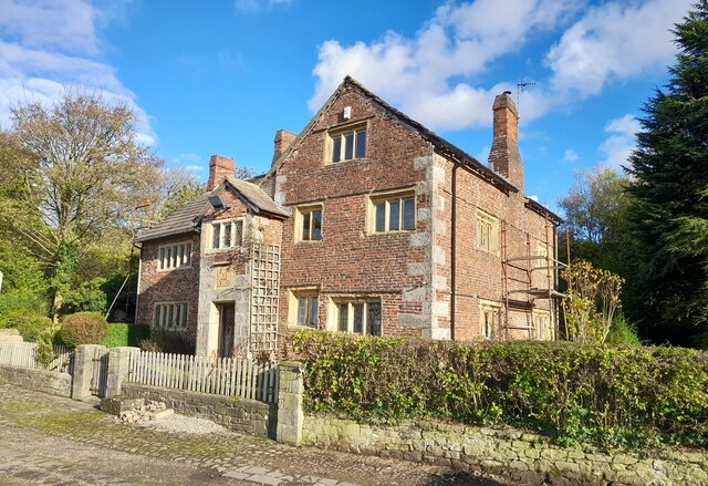
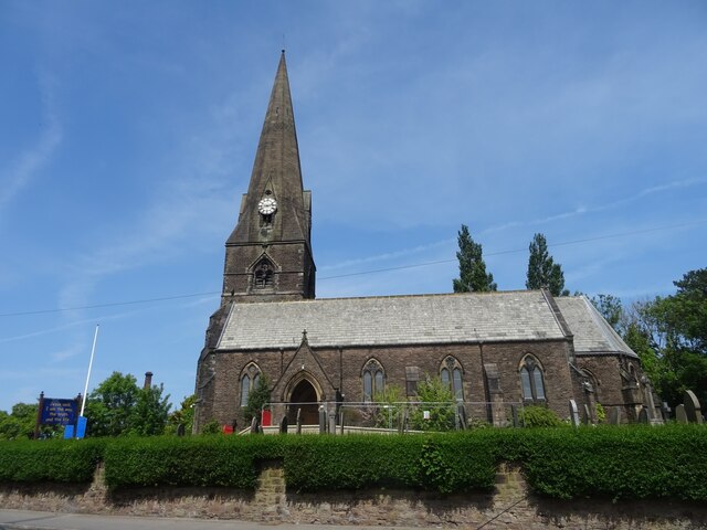
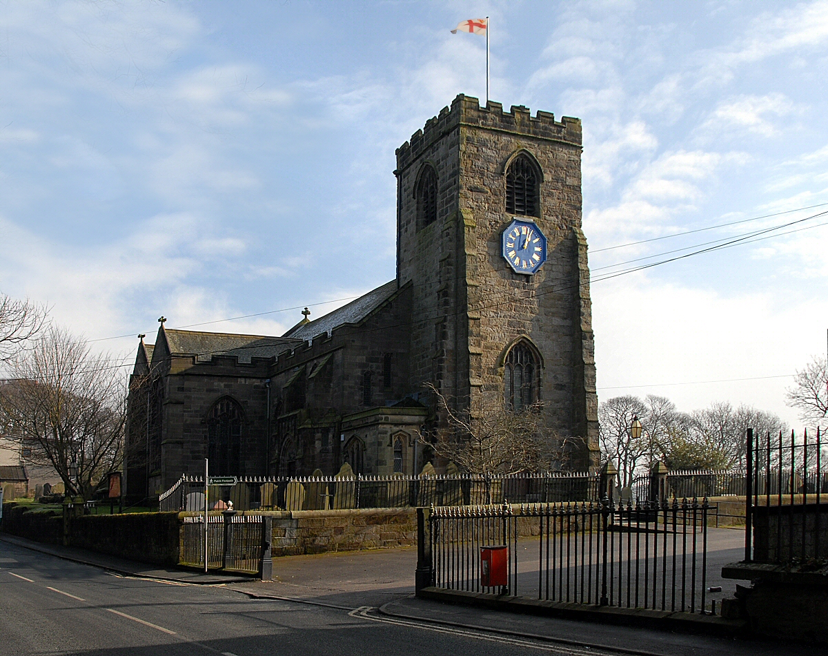
The village has a small population, with a close-knit community that takes pride in its heritage and local traditions. The architecture in Holland Slack is predominantly traditional, with many charming cottages and stone-built houses dating back several centuries. The village also features a historic church, which serves as a focal point for the community.

Although small, Holland Slack offers basic amenities for its residents, including a village hall and a local pub. For more extensive amenities, residents often visit nearby Garstang or Lancaster, where they can find a wider range of shops, restaurants, and services.

Holland Slack is also an ideal location for outdoor enthusiasts, with numerous walking and cycling trails in the surrounding countryside. The village's proximity to the Forest of Bowland, an Area of Outstanding Natural Beauty, provides opportunities for exploring the stunning landscape and enjoying nature.

In summary, Holland Slack is a charming and peaceful village in Lancashire, offering a rural retreat and a strong sense of community for its residents.

If you have any feedback on the listing, please let us know in the comments section below.

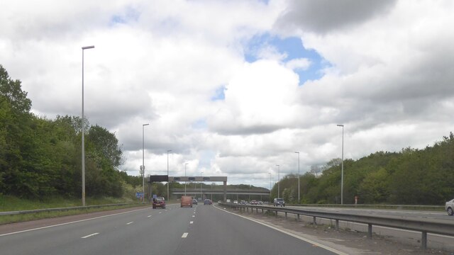
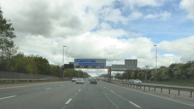
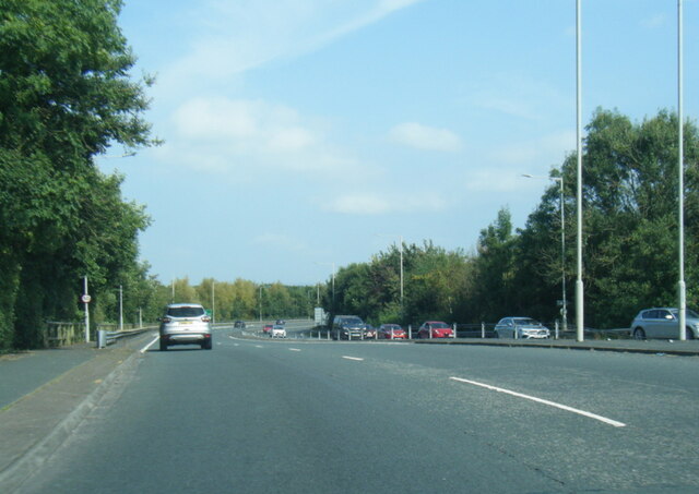
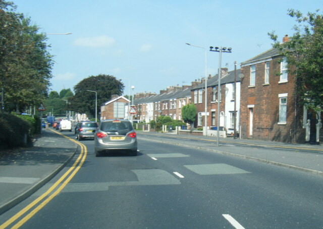
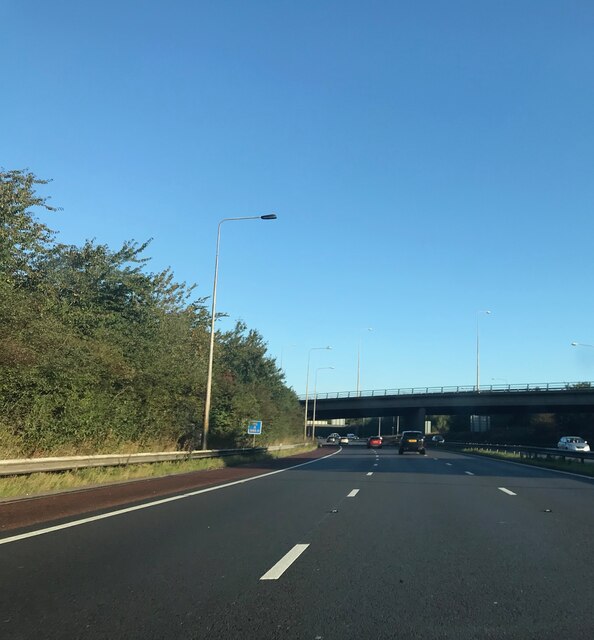
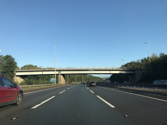
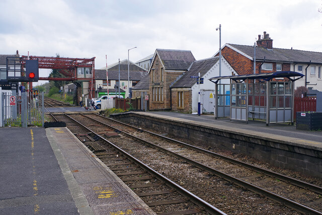
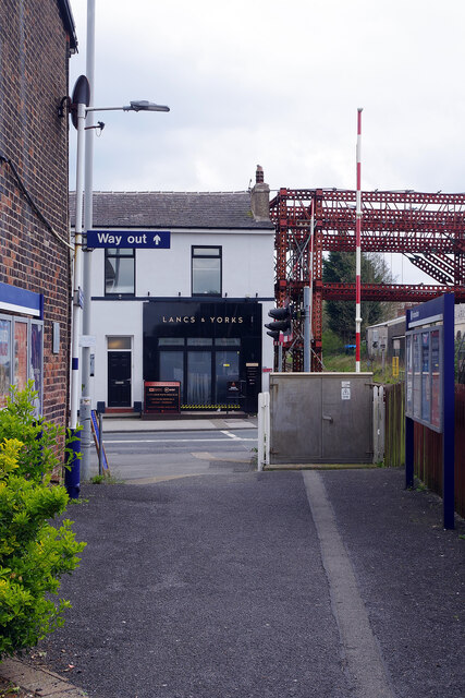
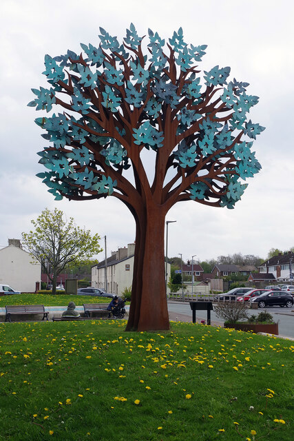
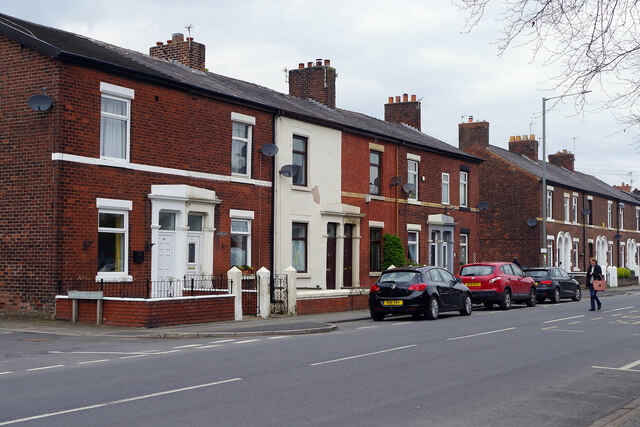
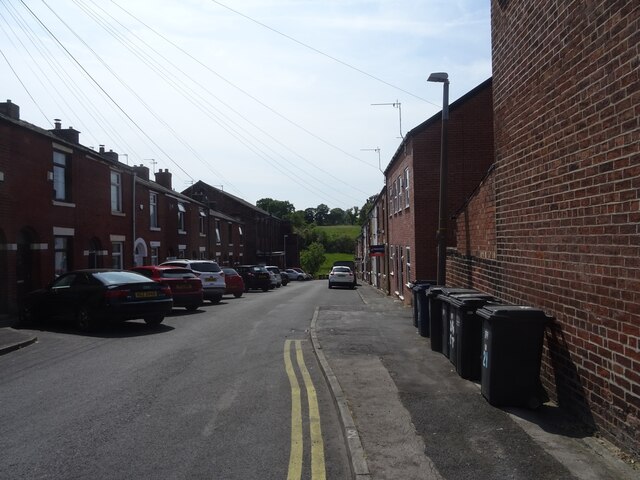
Holland Slack Images

Images are sourced within 2km of 53.736579/-2.6628224 or Grid Reference SD5626. Thanks to Geograph Open Source API. All images are credited.

M6 northbound
M6 northbound
Gantries over M6
Gantries over M6
A6 London Way, northbound
A6 Victoria Road northbound
M61 bridge - northbound M6
Cottage Lane bridge - northbound M6
Frosty morning on the Ribble Way, Fishwick Bottoms
Osbaldeston House near Walton-Le- Dale Farmhouse dated 1661, with later addition; now house. Brick on stone
plinth, stone dressings, slate roof with chimneys at left gable, on ridge,
and at right side. L-shaped plan, both elements of 2 bays. Two and 2½
storeys. Front formed by 2½ storey gable of C17 house with 2-storey later
addition to the left; at the junction, and rising only to the eaves, is a
2-storey gabled porch, the front of its ground floor all of stone,
continued above as quoins, with a chamfered doorway, above this a stone
tablet (protected by a straight dripstone), the 4 corners and the centre of
which are lettered in relief: 1 6/ O/ WD/ 6 1 (= William and Dorothy Osbaldeston)
and at 1st floor a 3-light moulded stone mullion window. Right of the
porch the C17 house has stone quoins, single-course brick bands on 2 levels,
and double chamfered stone mullion windows in all walls: at the front, of
2 and 3 lights at ground floor (slightly different levels), 2 and 3 lights
at 1st floor, and 3 lights in the attic; at the side 3 and 4 lights at
ground floor, 3 and 3 above; and at the back, 5, 5 and 3 lights.
Extension left of porch has sashed windows with segmental brick heads in
the 1st bay, low sashed windows in the 2nd bay. Rear has a lean-to in the
re-entrant, and sashed windows with glazing bars in the 1st bay. Interior:
the C17 part has ovolo moulded beams on both floors, a diamond-pattern
stone flagged floor in the entrance hall, cross-corner fireplaces in both
ground floor rooms, an original dog leg staircase with turned balusters,
and a purlin roof. Remarkably complete survival of interior detail of
this period.

Grade II* listed in 1960 - source <span class="nowrap"><a title="https://historicengland.org.uk/listing/the-list/list-entry/1290091?section=official-list-entry" rel="nofollow ugc noopener" href="https://historicengland.org.uk/listing/the-list/list-entry/1290091?section=official-list-entry">Link</a><img style="margin-left:2px;" alt="External link" title="External link - shift click to open in new window" src="https://s1.geograph.org.uk/img/external.png" width="10" height="10"/></span>
Osbaldeston House near Walton-Le- Dale
Farmhouse dated 1661, with later addition; now house. Brick on stone plinth, stone dressings, slate roof with chimneys at left gable, on ridge, and at right side. L-shaped plan, both elements of 2 bays. Two and 2½ storeys. Front formed by 2½ storey gable of C17 house with 2-storey later addition to the left; at the junction, and rising only to the eaves, is a 2-storey gabled porch, the front of its ground floor all of stone, continued above as quoins, with a chamfered doorway, above this a stone tablet (protected by a straight dripstone), the 4 corners and the centre of which are lettered in relief: 1 6/ O/ WD/ 6 1 (= William and Dorothy Osbaldeston) and at 1st floor a 3-light moulded stone mullion window. Right of the porch the C17 house has stone quoins, single-course brick bands on 2 levels, and double chamfered stone mullion windows in all walls: at the front, of 2 and 3 lights at ground floor (slightly different levels), 2 and 3 lights at 1st floor, and 3 lights in the attic; at the side 3 and 4 lights at ground floor, 3 and 3 above; and at the back, 5, 5 and 3 lights. Extension left of porch has sashed windows with segmental brick heads in the 1st bay, low sashed windows in the 2nd bay. Rear has a lean-to in the re-entrant, and sashed windows with glazing bars in the 1st bay. Interior: the C17 part has ovolo moulded beams on both floors, a diamond-pattern stone flagged floor in the entrance hall, cross-corner fireplaces in both ground floor rooms, an original dog leg staircase with turned balusters, and a purlin roof. Remarkably complete survival of interior detail of this period. Grade II* listed in 1960 - source LinkExternal link
Bamber Bridge Station Bamber Bridge station is on the line between Preston and Blackburn. There is a busy level crossing at the eastern end of the platforms. Note the steel work that is currently necessary to support the signal box.
Bamber Bridge Station
Bamber Bridge station is on the line between Preston and Blackburn. There is a busy level crossing at the eastern end of the platforms. Note the steel work that is currently necessary to support the signal box.
The Lancs & Yorks, Bamber Bridge Passengers from Preston arriving at Bamber Bridge station might find the Lancs & Yorks pub very convenient for a stop off on the way home. Its story is an unusual one. For many years known as the Lancashire and Yorkshire (later shortened to Lancs & Yorks), taking its name from the company that ran the adjacent railway, it closed in 2013. The building was then divided into two retail units and it looked as though it had joined the ever-growing ranks of former pubs forever. However, eight years later in 2021 one of the units reopened as a microbar, taking the old name, and now appears to be thriving with regular live music and other entertainment - good news indeed for those who love the institution of the British pub. 

This photograph shows it as it was in 1992 when it was a William Younger's house and looked smart: <a href="https://www.geograph.org.uk/photo/202650">SD5625 : Lancs & Yorks, Bamber Bridge</a>. 20 years later, shortly before closure, it was beginning to look distinctly down at heel: <a href="https://www.geograph.org.uk/photo/2820751">SD5625 : Lancs & Yorks, Bamber Bridge</a>.
The Lancs & Yorks, Bamber Bridge
Passengers from Preston arriving at Bamber Bridge station might find the Lancs & Yorks pub very convenient for a stop off on the way home. Its story is an unusual one. For many years known as the Lancashire and Yorkshire (later shortened to Lancs & Yorks), taking its name from the company that ran the adjacent railway, it closed in 2013. The building was then divided into two retail units and it looked as though it had joined the ever-growing ranks of former pubs forever. However, eight years later in 2021 one of the units reopened as a microbar, taking the old name, and now appears to be thriving with regular live music and other entertainment - good news indeed for those who love the institution of the British pub. This photograph shows it as it was in 1992 when it was a William Younger's house and looked smart: SD5625 : Lancs & Yorks, Bamber Bridge. 20 years later, shortly before closure, it was beginning to look distinctly down at heel: SD5625 : Lancs & Yorks, Bamber Bridge.
McNamara Gardens, Bamber Bridge The somewhat strange-looking tree sculpture on a patch of dandelion-covered grass constitutes a memorial to John McNamara, a local man who was awarded the Victoria Cross in the First World War. A tree design was chosen because the name Bamber Bridge derives from the Old English 'bēam' and 'brycg', meaning a tree-trunk bridge.
McNamara Gardens, Bamber Bridge
The somewhat strange-looking tree sculpture on a patch of dandelion-covered grass constitutes a memorial to John McNamara, a local man who was awarded the Victoria Cross in the First World War. A tree design was chosen because the name Bamber Bridge derives from the Old English 'bēam' and 'brycg', meaning a tree-trunk bridge.
Station Road, Bamber Bridge This line of terraced houses stands opposite St Aidan's Church in Bamber Bridge. Balshaw Street leads off to the left. Station Road is nowadays the B6258 but was previously a stretch of the A6.
Station Road, Bamber Bridge
This line of terraced houses stands opposite St Aidan's Church in Bamber Bridge. Balshaw Street leads off to the left. Station Road is nowadays the B6258 but was previously a stretch of the A6.
Walton Arms, Bamber Bridge This pub, tucked away on St Aidan's Road, was formerly the School Lane Club and became a pub in 2015. The interior decor is in the very trendy 'steampunk' style.
Walton Arms, Bamber Bridge
This pub, tucked away on St Aidan's Road, was formerly the School Lane Club and became a pub in 2015. The interior decor is in the very trendy 'steampunk' style.
Shuttling Fields Lane Shuttling Fields Lane provides access to a number of farms off Gregson Lane.
Shuttling Fields Lane
Shuttling Fields Lane provides access to a number of farms off Gregson Lane.
Gregson Lane, Higher Walton Looking northwest along the road from the junction with Shuttling Fields Lane.
Gregson Lane, Higher Walton
Looking northwest along the road from the junction with Shuttling Fields Lane.
Track to Top o' th' Barn This track crosses over Many Brooks Bridge and leads up to Top o' th' Barn.
Track to Top o' th' Barn
This track crosses over Many Brooks Bridge and leads up to Top o' th' Barn.
All Saints' Church, Higher Walton The steeple of this rather magnificent church serves as a viewpoint for miles around.
All Saints' Church, Higher Walton
The steeple of this rather magnificent church serves as a viewpoint for miles around.
Brook Street, Higher Walton A quick view along Brook Street.
Brook Street, Higher Walton
A quick view along Brook Street.
Show me another place!

Holland Slack is located at Grid Ref: SD5626 (Lat: 53.736579, Lng: -2.6628224)

Administrative County: Lancashire

District: South Ribble

Police Authority: Lancashire

What 3 Words

///cable.packet.pull. Near Preston, Lancashire

Nearby Locations

School Lane Holland Slack

Related Wikis

Brownedge St Mary's Catholic High School

Brownedge St Mary's Catholic High School is a coeducational secondary school located in Bamber Bridge in the English county of Lancashire.It is a voluntary...

Walton-le-Dale High School

Walton-le-Dale High School, formerly known as Walton-le-Dale Arts College and High School, is a secondary school near Preston, Lancashire, England. �...

Bamber Bridge

Bamber Bridge is a large village in Lancashire, England, 3 miles (5 km) south-east of Preston, in the borough of South Ribble. The name derives from the...

Walton-le-Dale

Walton-le-Dale is a large village in the borough of South Ribble, in Lancashire, England. It lies on the south bank of the River Ribble, opposite the city...

Nearby Amenities

Located within 500m of 53.736579,-2.6628224
Kindergarten
Footprints
Addr City: Preston
Addr Postcode: PR5 6QE
Addr Street: School Lane
Addr Suburb: Bamber Bridge
Fhrs Id: 159307
Lat/Long: 53.7367872/-2.6571953
Mini Roundabout
Direction: clockwise
Lat/Long: 53.735672/-2.6628614
Mini Roundabout
Direction: clockwise
Lat/Long: 53.7331118/-2.6627605
Turning Circle
Lat/Long: 53.7346361/-2.6563944
Post Box
Ref: PR5 453
Lat/Long: 53.7409997/-2.66327
Turning Circle
Lat/Long: 53.7402248/-2.6644538
Barrier: bollard
Lat/Long: 53.7391738/-2.6578392
Turning Circle
Lat/Long: 53.7396596/-2.6664266
Turning Circle
Lat/Long: 53.7340718/-2.6686156
Turning Circle
Lat/Long: 53.7337796/-2.6599871
Barrier: bollard
Bicycle: dismount
Lat/Long: 53.7347955/-2.662971
Place Of Worship
Bamber Bridge Pentecostal Church
Denomination: pentecostal
Religion: christian
Lat/Long: 53.7368062/-2.6654969
Turning Circle
Lat/Long: 53.7347907/-2.6597323
Turning Circle
Lat/Long: 53.7341458/-2.658589
Restaurant
Gusto
Addr City: Preston
Addr Housenumber: 50B
Addr Postcode: PR5 6QE
Addr Street: School Lane
Addr Suburb: Bamber Bridge
Brand: Gusto
Brand Wikidata: Q66087781
Cuisine: italian
Fhrs Id: 159276
Lat/Long: 53.7363421/-2.6599099
Bus Stop
Coniston Drive
Bench: no
Bus: yes
Public Transport: platform
Shelter: no
Tactile Paving: no
Lat/Long: 53.7347531/-2.6696965
Bus Stop
Selkirk Drive
Bench: yes
Bus: yes
Naptan AtcoCode: 2500GCS10073
Naptan Bearing: NE
Naptan BusStopType: MKD
Naptan CommonName: Selkirk Drive
Naptan Indicator: by
Naptan Landmark: Duddle Lane / Selkirk Drive
Naptan LocalityCode: E0016409
Naptan NaptanCode: landpagw
Naptan Street: Duddle Lane
Public Transport: platform
Ref: landpagw
Shelter: yes
Tactile Paving: no
Lat/Long: 53.735745/-2.6692066
Bus Stop
Temporary
Bench: no
Bus: yes
Public Transport: platform
Shelter: yes
Tactile Paving: no
Lat/Long: 53.7321394/-2.6624377
Bus Stop
Chestnut Close
Bench: no
Bus: yes
Departures Board: timetable
Naptan AtcoCode: 2500JB150
Naptan Bearing: S
Naptan CommonName: Chestnut Close
Naptan Indicator: by
Naptan NaptanCode: langmpmj
Public Transport: platform
Ref: langmpmj
Shelter: no
Tactile Paving: no
Lat/Long: 53.7372535/-2.6678662
Bus Stop
St Aidan's Church
Bench: no
Bus: yes
Departures Board: timetable
Public Transport: platform
Ref: landgtwa
Shelter: no
Tactile Paving: no
Lat/Long: 53.7341783/-2.6628178
Bus Stop
Opp St Aidan's Church
Bench: no
Bus: yes
Departures Board: timetable
Public Transport: platform
Ref: lanadgdg
Shelter: no
Tactile Paving: no
Lat/Long: 53.733805/-2.6629503
Barrier: bollard
Bicycle: dismount
Lat/Long: 53.7355377/-2.6626639
Crossing
Crossing: zebra
Crossing Island: no
Tactile Paving: yes
Lat/Long: 53.7328527/-2.6626412
Turning Circle
Lat/Long: 53.7346044/-2.6610157
Barrier: stile
Lat/Long: 53.7364545/-2.6682419
Crossing
Crossing: unmarked
Crossing Island: no
Tactile Paving: no
Lat/Long: 53.7321148/-2.6623519
Crossing
Crossing: unmarked
Crossing Island: no
Tactile Paving: no
Lat/Long: 53.7343487/-2.6628626
Crossing
Crossing: unmarked
Crossing Island: no
Tactile Paving: no
Lat/Long: 53.7351875/-2.6628389
Crossing
Crossing: unmarked
Crossing Island: no
Tactile Paving: no
Lat/Long: 53.7355242/-2.6628483
Crossing
Crossing: unmarked
Crossing Island: no
Tactile Paving: no
Lat/Long: 53.735735/-2.6626466
Crossing
Crossing: unmarked
Crossing Island: yes
Tactile Paving: no
Lat/Long: 53.7359075/-2.6630951
Bus Stop
Renshaw Drive
Bench: yes
Bus: yes
Departures Board: timetable
Public Transport: platform
Ref: landgmjw
Shelter: yes
Tactile Paving: no
Lat/Long: 53.7364374/-2.6641073
Bus Stop
Opp Renshaw Drive
Bench: no
Bus: yes
Departures Board: timetable
Public Transport: platform
Ref: landptdj
Shelter: no
Tactile Paving: no
Lat/Long: 53.736523/-2.6639436
Bus Stop
Duddle Lane
Bench: no
Bus: yes
Naptan AtcoCode: 2500IMG1271
Naptan Bearing: NW
Naptan BusStopType: MKD
Naptan CommonName: Duddle Lane
Naptan Indicator: by
Naptan Landmark: Duddle Lane
Naptan LocalityCode: E0016409
Naptan NaptanCode: landptdp
Naptan Street: Chorley Road
Public Transport: platform
Ref: landptdp
Shelter: yes
Tactile Paving: no
Lat/Long: 53.7378259/-2.6683755
Post Box
Collection Times: Mo-Fr 09:00, Sa 07:00
Operator: Royal Mail
Post Box Type: lamp
Ref: PR5 488
Royal Cypher: EIIR
Royal Cypher Wikidata: Q33102113
Lat/Long: 53.7378113/-2.6683666
Crossing
Crossing: unmarked
Crossing Island: yes
Tactile Paving: no
Lat/Long: 53.7378824/-2.6683296
Bus Stop
Opp. Duddle Lane
Bench: no
Bus: yes
Departures Board: timetable
Public Transport: platform
Ref: landgmpd
Shelter: no
Tactile Paving: no
Lat/Long: 53.7374559/-2.6666688
Access: no
Barrier: cycle_barrier
Foot: yes
Lat/Long: 53.7344248/-2.6633839
Access: no
Barrier: cycle_barrier
Foot: yes
Lat/Long: 53.7344238/-2.6638766
Access: no
Barrier: kissing_gate
Bicycle: dismount
Foot: yes
Lat/Long: 53.7331273/-2.6657163
Noexit: yes
Lat/Long: 53.7372238/-2.6625719
Clinic
Bamber Bridge Clinic
Healthcare: clinic
Lat/Long: 53.7370257/-2.6564394
Give Way
Direction: forward
Lat/Long: 53.7376028/-2.6678505
Give Way
Direction: backward
Lat/Long: 53.7370969/-2.6568629
Sales Centre
Office: estate_agent
Lat/Long: 53.737458/-2.6691371
Bench
Backrest: yes
Lat/Long: 53.7374789/-2.6680291
Mucky Paws Pet Shop
Opening Hours: Th 10:00-14:00
Shop: pet
Lat/Long: 53.7330015/-2.6624337
Pharmacy
Peter Buckley Chemists
Dispensing: yes
Healthcare: pharmacy
Opening Hours: Mo-Fr 08:30-13:00, Sa 09:00-13:00, Mo-We,Fr 14:00-18:15, Th 14:00-18:00
Lat/Long: 53.7326937/-2.6623184
Note: 20 mph sign southbound, 30 mph northbound
Lat/Long: 53.7363743/-2.6683933
Fast Food
Gwok Hing
Addr City: Preston
Addr Housenumber: 25
Addr Postcode: PR5 6QR
Addr Street: Station Road
Addr Suburb: Bamber Bridge
Cuisine: chinese
Fhrs Id: 948712
Lat/Long: 53.7349625/-2.6626113
Modern Motors
Shop: car_repair
Lat/Long: 53.7351338/-2.6634965
Preston Podiatry
Healthcare: podiatrist
Lat/Long: 53.7351861/-2.6626086
Grosvenor Garage
Opening Hours: Mo-We 09:00-17:30; Th 08:30-17:30; Fr-Sa 09:00-17:30
Operator: GROSVENOR GARAGE MOTOR VEHICLE SALES LTD
Phone: +44 1772 335150
Second Hand: only
Shop: car
Website: https://www.ggcars.co.uk/
Lat/Long: 53.7368327/-2.6643345
Noexit: yes
Lat/Long: 53.7372636/-2.6626386
Power: transformer
Lat/Long: 53.7347657/-2.6617814
Power: transformer
Lat/Long: 53.7347657/-2.6616687
Waste Basket
Colour: blue
Material: metal
Operator: South Ribble Borough Council
Source: survey
Waste: trash;dog_excrement
Lat/Long: 53.7374608/-2.6680328
Waste Basket
Colour: blue
Material: metal
Operator: South Ribble Borough Council
Source: survey
Waste: trash;dog_excrement
Lat/Long: 53.7338264/-2.6629855
Waste Basket
Colour: blue
Material: metal
Operator: South Ribble Borough Council
Source: survey
Waste: trash;dog_excrement
Lat/Long: 53.7341711/-2.6627664
Waste Basket
Colour: blue
Material: metal
Operator: South Ribble Borough Council
Source: survey
Waste: trash;dog_excrement
Lat/Long: 53.7330186/-2.6629476
Entrance: yes
Lat/Long: 53.733682/-2.6622158
Cafe
Valley Coffee
Addr City: Preston
Addr Postcode: PR5 6GS
Addr Street: Fourfields
Addr Suburb: Bamber Bridge
Contact Facebook: https://www.facebook.com/valleycoffeepreston/
Contact Twitter: valleycoffee_uk
Cuisine: coffee_shop
Internet Access: wlan
Internet Access Fee: customers
Opening Hours: Mo-Fr 09:00-17:00; Sa 10:00-16:00; Su 10:00-14:00; PH 10:00-16:00
Opening Hours Covid19: closed
Outdoor Seating: yes
Phone: +44 1772 696717
Website: https://valleycoffee.eu/
Lat/Long: 53.7337227/-2.6621688
Access: customers
Door: hinged
Entrance: main
Lat/Long: 53.7333083/-2.6583259
Top of Orr's Mill Tower
Historic: monument
Lat/Long: 53.736795/-2.6581742
Material: metal
Note: locked gate
Seamark Type: gate
Waterway: lock_gate
Lat/Long: 53.7402749/-2.6624712
Barrier: bollard
Bicycle: yes
Colour: black
Foot: yes
Height: 1
Horse: yes
Material: metal
Motor Vehicle: no
Width: 0.2
Lat/Long: 53.7405867/-2.6623888
The data included in this document is from www.openstreetmap.org. The data is made available under ODbL.

Have you been to Holland Slack?

Leave your review of Holland Slack below (or comments, questions and feedback).