Schoolhill
Settlement in Aberdeenshire
Scotland
Schoolhill

Schoolhill is a small village located in the Aberdeenshire region of Scotland. Situated approximately 20 miles northwest of Aberdeen, it is nestled amongst the picturesque countryside and rolling hills that characterizes this part of the country.
The village is home to a close-knit community, with a population of around 400 residents. It is primarily a residential area, with a scattering of traditional stone houses and cottages that give the village a charming and quaint feel. The surrounding landscape is predominantly agricultural, with fields of crops and grazing livestock.
Despite its small size, Schoolhill has a strong sense of community spirit, with various social and recreational activities taking place throughout the year. The village boasts a community center, which serves as a hub for local events and gatherings. Additionally, there is a primary school that provides education for the children in the area.
Schoolhill benefits from its proximity to Aberdeen, offering residents easy access to the amenities and services of a larger city. Aberdeen provides opportunities for employment, leisure activities, and cultural events. The village is well-connected to Aberdeen and other nearby towns via a network of roads and public transportation.
Overall, Schoolhill offers a peaceful and idyllic lifestyle for its residents, with the beauty of the Aberdeenshire countryside on their doorstep while still being within reach of urban amenities.
If you have any feedback on the listing, please let us know in the comments section below.
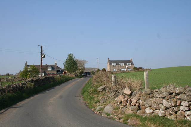
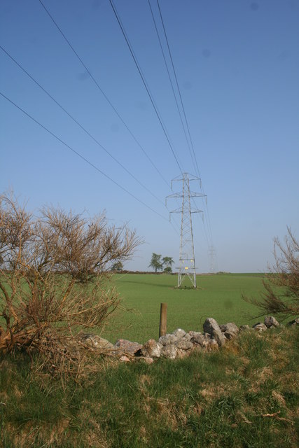
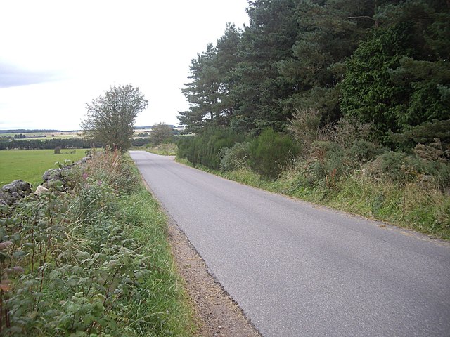
Schoolhill Images
Images are sourced within 2km of 57.114773/-2.3878969 or Grid Reference NJ7602. Thanks to Geograph Open Source API. All images are credited.


Schoolhill is located at Grid Ref: NJ7602 (Lat: 57.114773, Lng: -2.3878969)
Unitary Authority: Aberdeenshire
Police Authority: North East
What 3 Words
///megawatt.flags.germinate. Near Peterculter, Aberdeen
Nearby Locations
Related Wikis
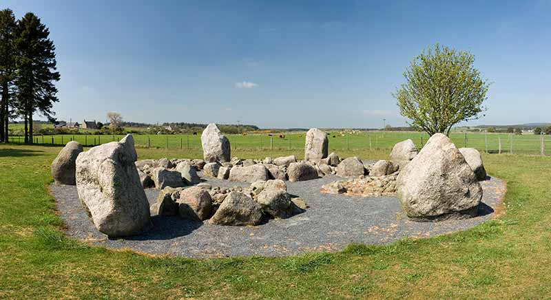
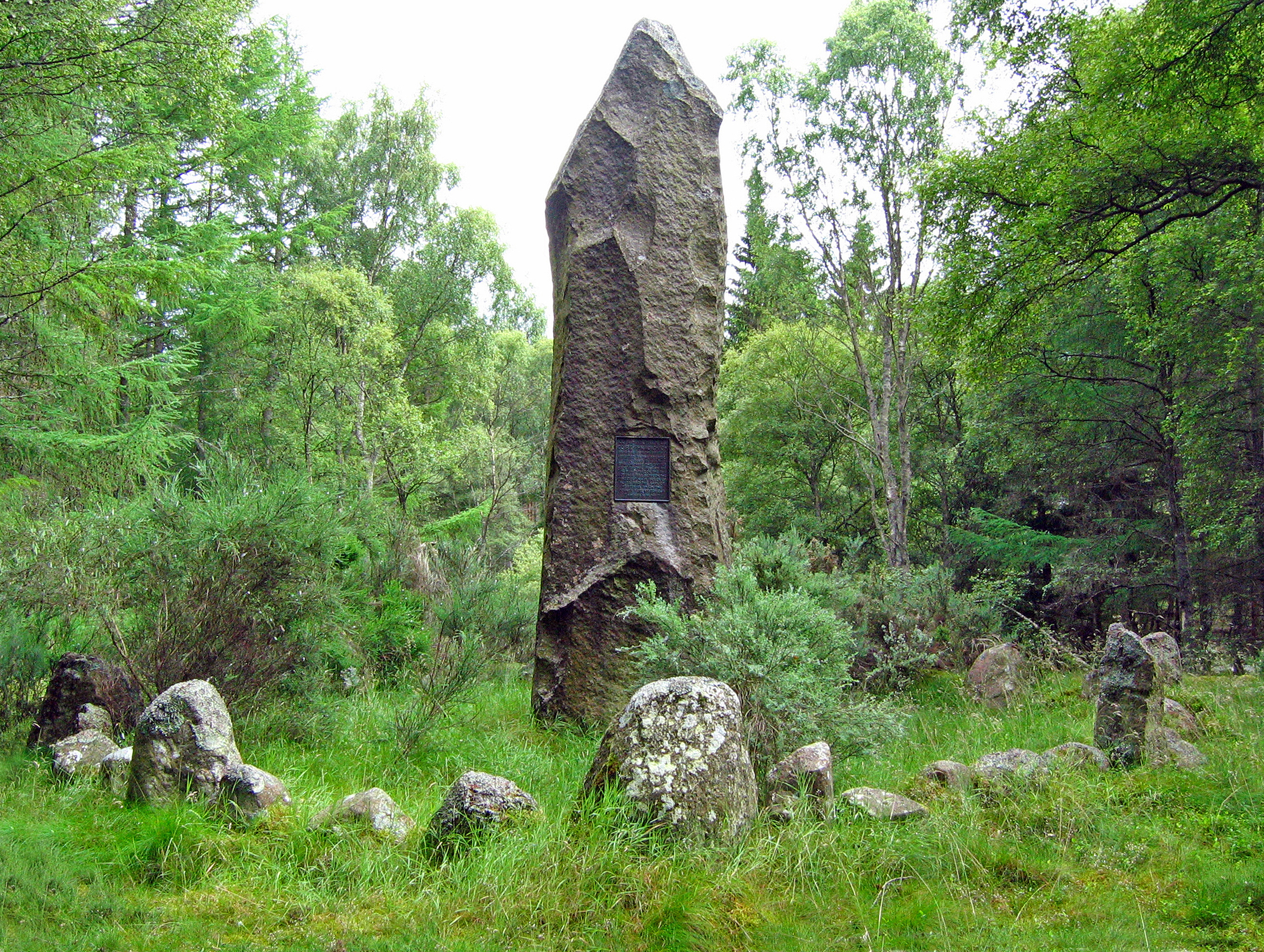
Cullerlie stone circle
Cullerlie stone circle, also known as the Standing Stones of Echt, is a small stone circle situated near Echt, Aberdeenshire. It consists of eight irregular...

Garlogie
Garlogie (Scottish Gaelic: Geàrr Lagaidh) is a roadside hamlet in Aberdeenshire, Scotland. It was, during the 19th century, the site of a textile milling...
Battle of Corrichie
The Battle of Corrichie, also known as the Battle of Corrichy was a battle fought near Meikle Tap, near Aberdeen, Scotland, on 28 October 1562. It was...

Drum Castle
Drum Castle is a castle near Drumoak in Aberdeenshire, Scotland. For centuries it was the seat of the chief of Clan Irvine. The place-name Drum is derived...

Echt, Aberdeenshire
Echt (Scottish Gaelic: Eicht) is an Aberdeenshire crossroads village in northeast Scotland with a population of approximately 300 people. Echt has a number...

Drumoak
Drumoak (, Scottish Gaelic: Druim M'Aodhaig, lit. 'the ridge of St Aodhag') is a village situated between Peterculter and Banchory in North Deeside, Aberdeenshire...

Park railway station (Deeside)
Park railway station was opened in September 1853 by the Deeside Railway and served the rural area around the Park estate, Nether Sunnyside, West Redford...

Loch of Skene
Loch of Skene is a large lowland, freshwater loch in Aberdeenshire, Scotland. It lies approximately 1 mi (1.6 km) to the west of the village of Kirkton...
Nearby Amenities
Located within 500m of 57.114773,-2.3878969Have you been to Schoolhill?
Leave your review of Schoolhill below (or comments, questions and feedback).