Rock

Settlement in Hampshire

England

Rock

Brighstone revisited (1) Pub lunchers on a summer's day
Brighstone revisited (1) Credit: Basher Eyre

Rock is a small village located in Hampshire, England. Situated in the Test Valley district, it is nestled in the beautiful countryside, surrounded by rolling hills and picturesque landscapes. The village is approximately 4 miles north of the market town of Stockbridge and 10 miles west of the historic city of Winchester.

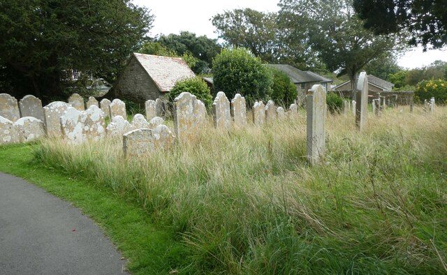
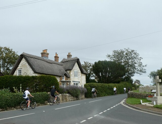
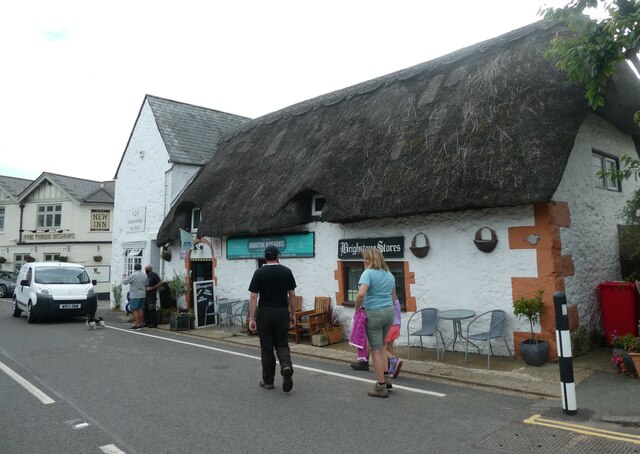
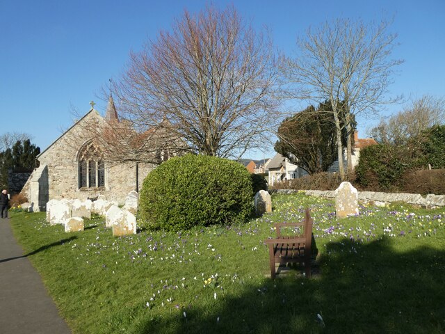
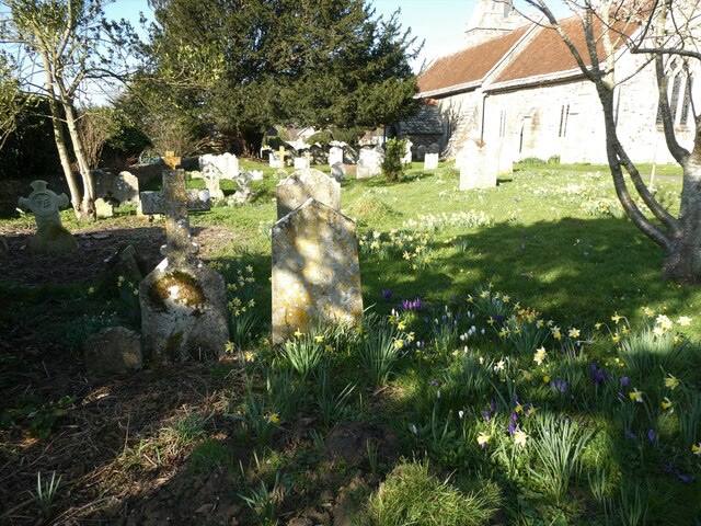
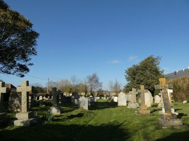
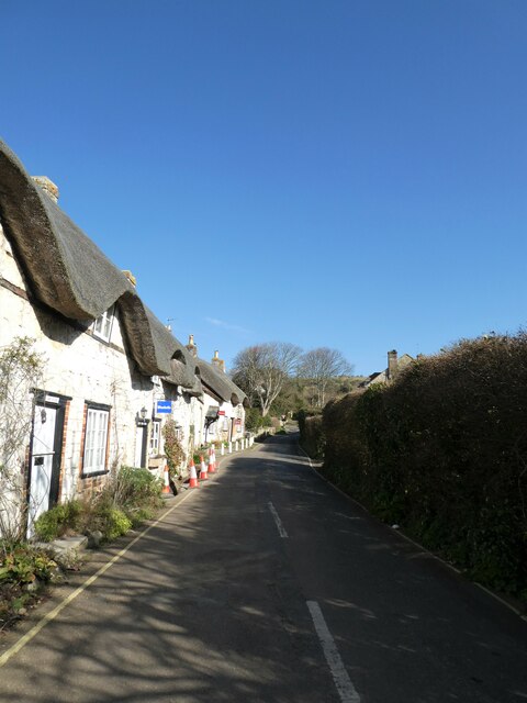
Rock is known for its tranquility and rural charm, making it an ideal destination for nature lovers and those seeking a peaceful retreat. The village is characterized by its traditional thatched cottages, quaint village green, and the All Saints Church, which dates back to the 12th century. The church is a notable architectural landmark, featuring a Norman doorway and a medieval wall painting.

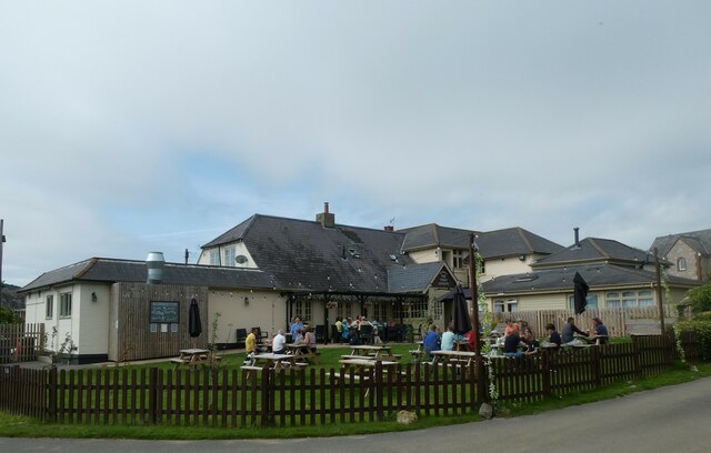
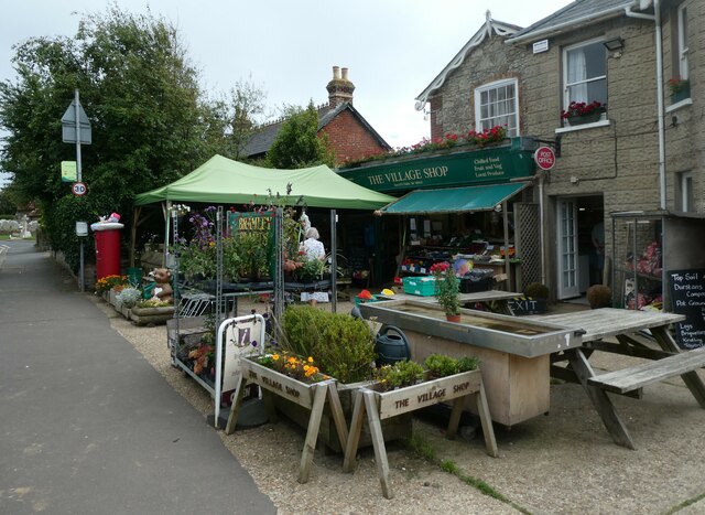
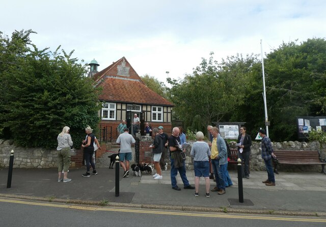
The village is also home to a vibrant community, with various amenities and facilities available to residents and visitors. These include a local pub, The George Inn, which offers hearty meals and a warm atmosphere, as well as a village hall that hosts a range of events and activities throughout the year.

Surrounded by the Test and Itchen rivers, Rock is a haven for outdoor enthusiasts. The area offers numerous walking and cycling trails, providing opportunities to explore the stunning countryside and spot local wildlife. The nearby Test Way, a long-distance footpath, is a popular route among hikers and nature enthusiasts.

Overall, Rock in Hampshire offers a picturesque setting, a friendly community, and ample opportunities for outdoor activities, making it a charming destination for both locals and tourists alike.

If you have any feedback on the listing, please let us know in the comments section below.

Rock Images

Images are sourced within 2km of 50.652803/-1.3998807 or Grid Reference SZ4283. Thanks to Geograph Open Source API. All images are credited.

Brighstone revisited (1) Pub lunchers on a summer's day
Brighstone revisited (1)
Pub lunchers on a summer's day
Brighstone revisited (2) The Village Shop
Brighstone revisited (2)
The Village Shop
Brighstone revisited (3) Outside Brighstone Shop- although to be totally accurate for THIS summer a brolly and mac would need inclusion!
Brighstone revisited (3)
Outside Brighstone Shop- although to be totally accurate for THIS summer a brolly and mac would need inclusion!
Brighstone revisited (4) Brighstone Churchyard
Brighstone revisited (4)
Brighstone Churchyard
Brighstone revisited (5) Cyclists on the main road
Brighstone revisited (5)
Cyclists on the main road
Brighstone revisited (6) Pedestrian access to the primary school
Brighstone revisited (6)
Pedestrian access to the primary school
Brighstone revisited (7) Public toilets in the car park
Brighstone revisited (7)
Public toilets in the car park
Brighstone revisited (8) Walking the dog in Warnes Lane
Brighstone revisited (8)
Walking the dog in Warnes Lane
Brighstone revisited (10) A busy scene in Main Road
Brighstone revisited (10)
A busy scene in Main Road
Brighstone revisited (11) A busy scene at the village hall- a traffic consultation
Brighstone revisited (11)
A busy scene at the village hall- a traffic consultation
Brighstone revisited (12)
Spring in Brighstone Churchyard (a)
Spring in Brighstone Churchyard (b)
Spring in Brighstone Churchyard (c)
Looking north-east along New Road
New Road in the late February sunshine
New Road Cemetery: late February 2022
Looking from Main Road into North Street
Show me another place!

Rock is located at Grid Ref: SZ4283 (Lat: 50.652803, Lng: -1.3998807)

Unitary Authority: Isle of Wight

Police Authority: Hampshire

What 3 Words

///column.expand.pinch. Near Brighstone, Isle of Wight

Nearby Locations

Moortown Brookside Rock

Related Wikis

Moortown, Isle of Wight

Moortown is a part of Brighstone on the west side of the Isle of Wight. The area is known as the Back of the Wight. Previously, the only form of public...
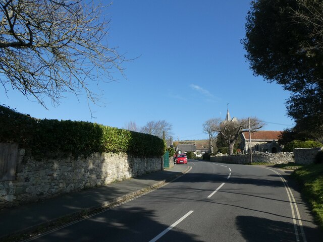
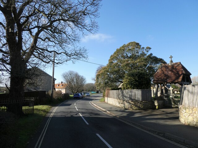
Brighstone

Brighstone is a village and civil parish on the Isle of Wight, 6 miles southwest of Newport on the B3399 road. Brighstone was previously known as "Brixton...
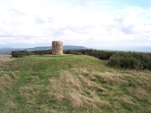
Brighstone Down

Brighstone Down is a chalk down on the Isle of Wight. It is located close to the village of Brighstone, in the southwest of the island (the Back of the...

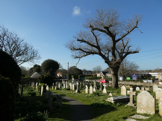
St Mary's Church, Brighstone

St. Mary's Church is a parish church in the Church of England located in Brighstone, Isle of Wight. The churchyard contains a memorial stone to George...

Nearby Amenities

Located within 500m of 50.652803,-1.3998807
Turning Circle
Lat/Long: 50.6485519/-1.3990503
Ele: 575ft
Man Made: survey_point
Source: Locally rectified NPE map
Lat/Long: 50.656624/-1.396182
Rock
Is In: Isle of Wight, UK
Place: locality
Lat/Long: 50.6531083/-1.401308
Moortown
Is In: Brighstone, Isle of Wight
Place: locality
Wikidata: Q6908506
Lat/Long: 50.6489435/-1.4025164
Generator Solar Modules: 16
Generator Source: solar
Location: roof
Power: generator
Lat/Long: 50.6486348/-1.3988122
Generator Solar Modules: 16
Generator Source: solar
Location: roof
Power: generator
Lat/Long: 50.648747/-1.3991824
Generator Solar Modules: 16
Generator Source: solar
Location: roof
Power: generator
Lat/Long: 50.6492385/-1.4004926
Generator Solar Modules: 16
Generator Source: solar
Location: roof
Power: generator
Lat/Long: 50.6493457/-1.4005584
Building: construction
Construction: detached
Lat/Long: 50.6498874/-1.4006791
The data included in this document is from www.openstreetmap.org. The data is made available under ODbL.

Have you been to Rock?

Leave your review of Rock below (or comments, questions and feedback).