Rockcliffe
Settlement in Flintshire
Wales
Rockcliffe

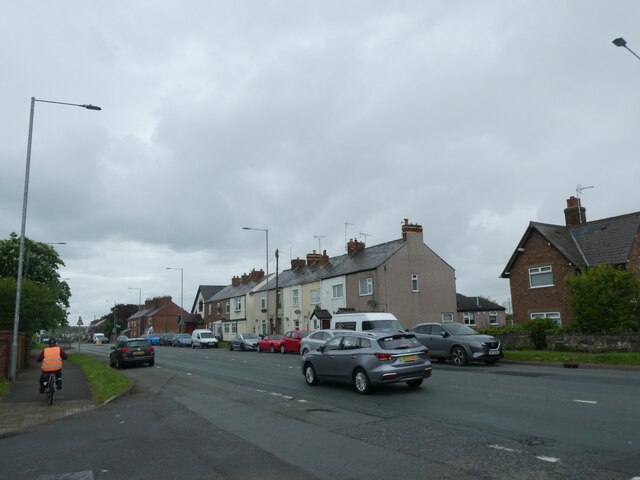
Rockcliffe is a small village located in Flintshire, a historic county in northeast Wales. Situated on the eastern bank of the River Dee, it is a picturesque rural community that offers a tranquil and scenic environment.
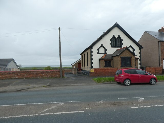
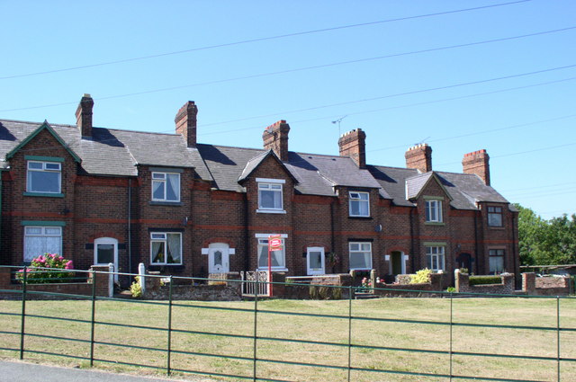
The village is characterized by its charming stone-built houses, which are surrounded by lush green fields and rolling hills. Rockcliffe is known for its close-knit community, where residents enjoy a peaceful and friendly atmosphere. The village is primarily residential, with a small number of local amenities, including a village hall and a primary school, catering to the needs of the residents.
Nature enthusiasts are drawn to Rockcliffe for its natural beauty and proximity to the River Dee. The river offers opportunities for fishing and boating, attracting anglers and water sports enthusiasts. The surrounding countryside provides ample space for walking, hiking, and cycling, with numerous trails and paths to explore.
Rockcliffe is conveniently located near major transportation routes, with easy access to the nearby town of Mold and the city of Chester, just across the border in England. This allows residents to access a wider range of amenities, including shopping centers, recreational facilities, and employment opportunities.
Overall, Rockcliffe is a charming village in Flintshire that offers a peaceful and idyllic setting for residents and visitors alike. Its natural beauty, close-knit community, and convenient location make it an attractive place to live or visit.
If you have any feedback on the listing, please let us know in the comments section below.
Rockcliffe Images
Images are sourced within 2km of 53.233118/-3.0924979 or Grid Reference SJ2771. Thanks to Geograph Open Source API. All images are credited.


Rockcliffe is located at Grid Ref: SJ2771 (Lat: 53.233118, Lng: -3.0924979)
Unitary Authority: Flintshire
Police Authority: North Wales
What 3 Words
///advancing.exit.aunts. Near Flint, Flintshire
Nearby Locations
Related Wikis
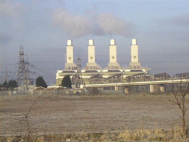
Connah's Quay Power Station
Connah's Quay Power Station is the name of the current 1,420 MW gas-fired power station near Connah's Quay in Flintshire in North Wales. The power plant...

Coleg Cambria
Coleg Cambria in North East Wales is one of the UK's largest colleges, with over 7000 full-time and 20,000 part-time students, and has international links...
Oakenholt
Oakenholt is a village in Flintshire, Wales. It is situated to the south east of the town of Flint, near the A548 road. At the 2001 Census, the population...
Deeside College
Deeside College (Welsh: Coleg Glannau Dyfrdwy) (now part of Coleg Cambria) is located in Connah's Quay, Flintshire, North Wales. It was formerly a further...
Nearby Amenities
Located within 500m of 53.233118,-3.0924979Have you been to Rockcliffe?
Leave your review of Rockcliffe below (or comments, questions and feedback).