Richmond Hill
Settlement in Norfolk Norwich
England
Richmond Hill
Richmond Hill is a scenic and affluent neighborhood located in Norfolk, England. Situated on the eastern outskirts of the city, it offers a picturesque setting with its rolling hills, lush greenery, and panoramic views of the surrounding countryside. The neighborhood is known for its tranquil atmosphere, making it a sought-after residential area.
Richmond Hill is primarily a residential neighborhood, characterized by elegant and well-maintained properties. The architecture is varied, ranging from charming cottages to grand manor houses, reflecting the area's historical significance and diverse heritage.
The neighborhood is well-connected, with easy access to the city center and other parts of Norfolk. It is located in close proximity to major transport links, including the A47 and A146 roads, allowing residents to commute conveniently. The nearby Norwich International Airport provides further connectivity to domestic and international destinations.
Richmond Hill benefits from its proximity to a range of amenities. The neighborhood is within walking distance of local shops, cafes, and restaurants, ensuring that residents have easy access to everyday essentials and leisure options. The bustling city center of Norfolk offers a wider array of shopping, dining, and entertainment opportunities.
In addition to its scenic beauty and convenient location, Richmond Hill is also home to several parks and green spaces, providing ample opportunities for outdoor recreation. The nearby Norfolk Broads, a network of rivers and lakes, offers boating, fishing, and bird-watching activities.
Overall, Richmond Hill is a desirable neighborhood in Norfolk, offering a blend of natural beauty, historical charm, and modern convenience. Its idyllic setting and range of amenities make it an attractive place to live for families, professionals, and retirees alike.
If you have any feedback on the listing, please let us know in the comments section below.
Richmond Hill Images
Images are sourced within 2km of 52.62104/1.3012163 or Grid Reference TG2307. Thanks to Geograph Open Source API. All images are credited.


Richmond Hill is located at Grid Ref: TG2307 (Lat: 52.62104, Lng: 1.3012163)
Administrative County: Norfolk
District: Norwich
Police Authority: Norfolk
What 3 Words
///submit.laser.pigs. Near Norwich, Norfolk
Nearby Locations
Related Wikis
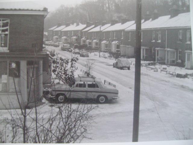
Argyle Street, Norwich
Argyle Street was a Victorian terraced street in Norwich, Norfolk. It became a squat lasting from 1979 to 1985. The street was then demolished in 1986...

Bracondale School
Bracondale School was a private boys' school in the Bracondale area of Norwich, Norfolk. It existed from 1821 to 1993. == History == The school was opened...
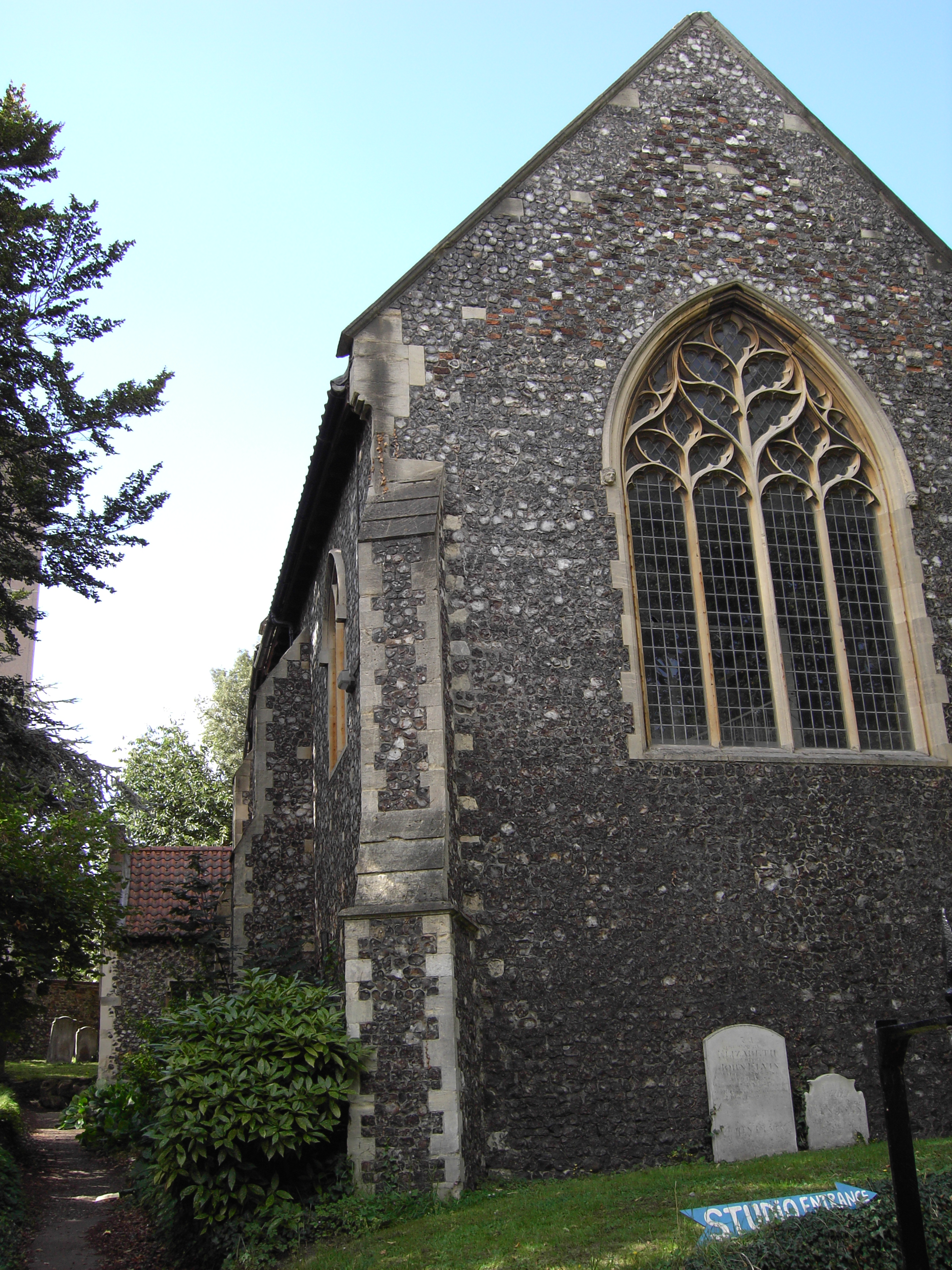
St Etheldreda's Church, Norwich
St Etheldreda's Church, Norwich is a Grade I listed redundant parish church in the Church of England in Norwich. == History == The church is medieval dating...
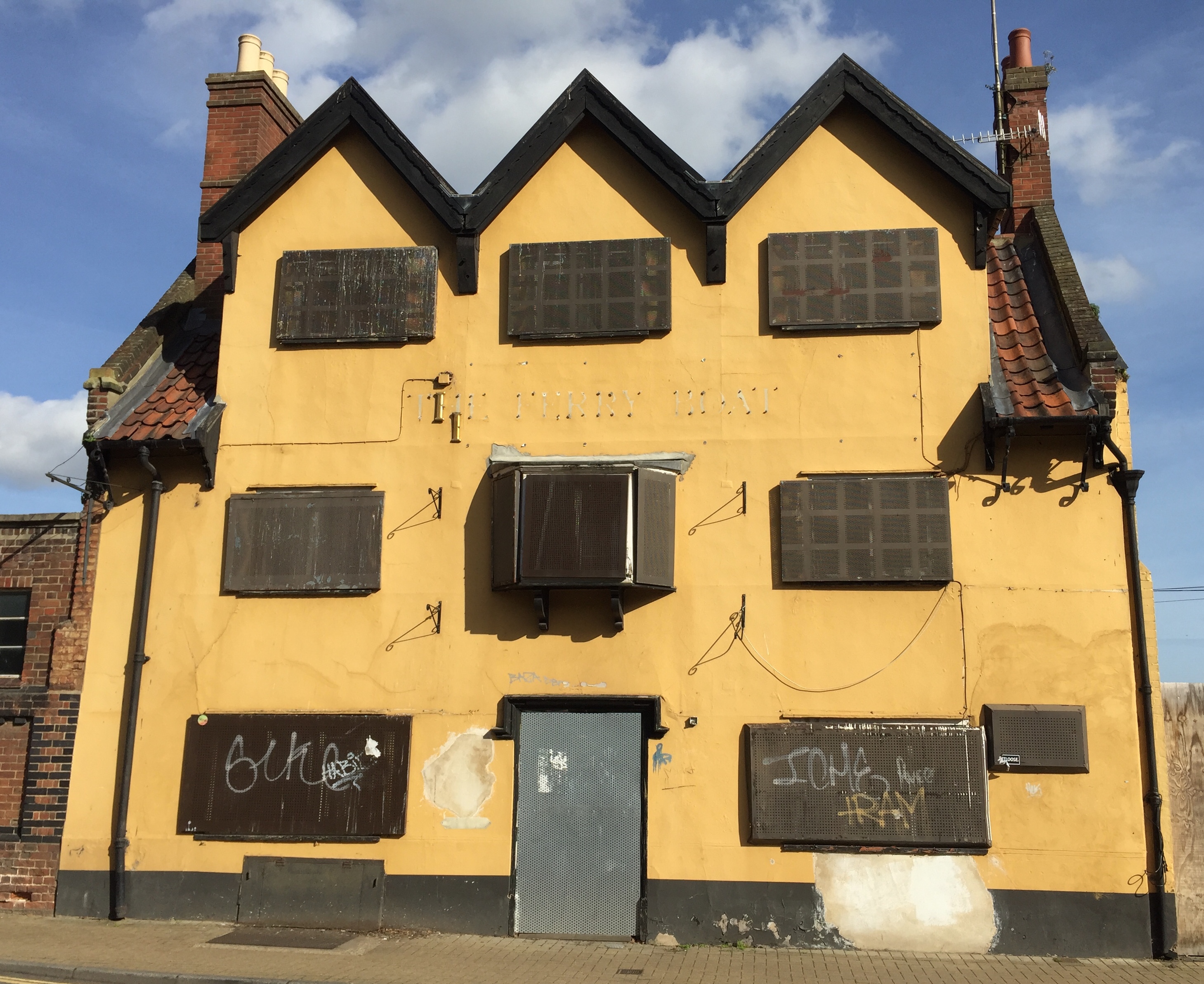
The Ferry Boat Inn
The Ferry Boat Inn was a public house and 150-capacity live music venue in Norwich, England, which closed in 2006. == History == The history of the Ferry...
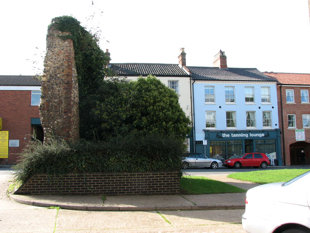
Ber Street, Norwich
Ber Street is a historic street in Norwich City Centre between Queens Road and King Street. It has served as one of the major routes into Norwich city...

Notre Dame High School, Norwich
Notre Dame High School (NDHS) is a Roman Catholic secondary school and sixth form with academy status in Norwich, Norfolk, England. The school opened in...
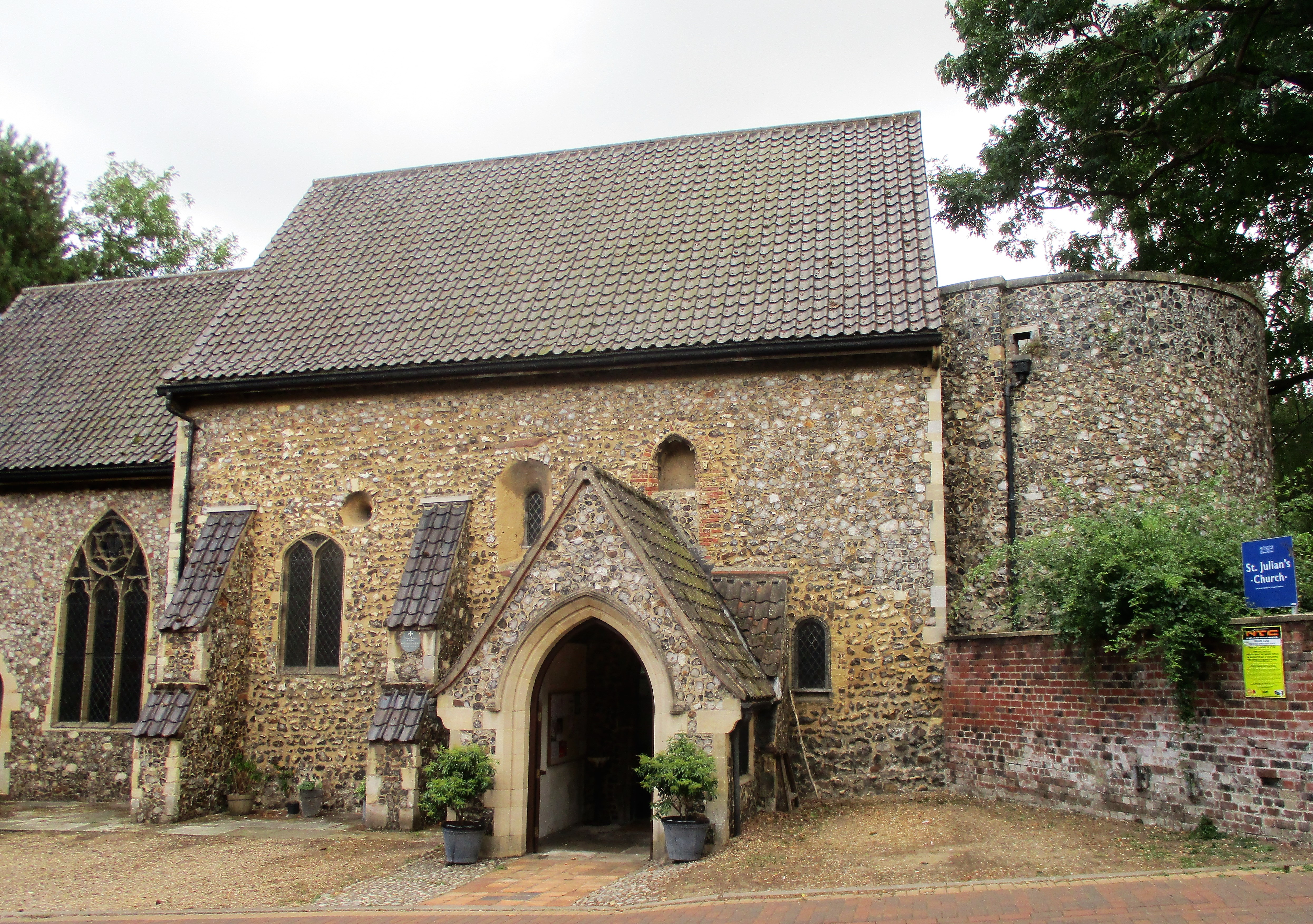
St Julian's Church, Norwich
St Julian's Church, Norwich, is a Grade I listed parish church in the Church of England in Norwich, England. It is part of the Diocese of Norwich. During...
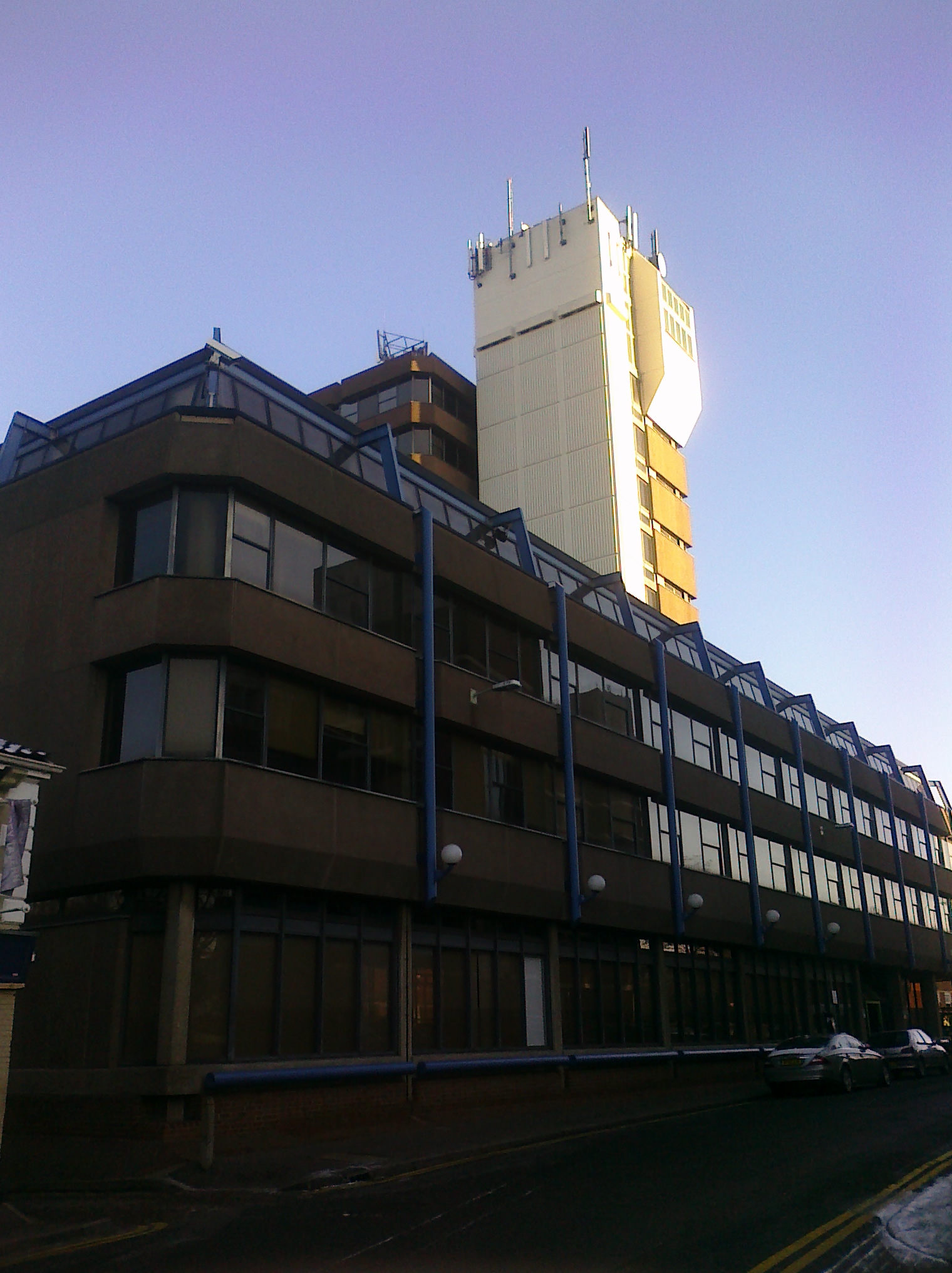
Norfolk Tower
Norfolk Tower on the north side of Surrey Street in Norwich, England is one of the city's tallest buildings. Standing at 45 metres tall, the building was...
Nearby Amenities
Located within 500m of 52.62104,1.3012163Have you been to Richmond Hill?
Leave your review of Richmond Hill below (or comments, questions and feedback).