Lakenham
Settlement in Norfolk Norwich
England
Lakenham

Lakenham is a small suburban area situated in the city of Norwich, Norfolk, England. It is located approximately 2 miles south of the city center and lies on the southern bank of the River Yare. Lakenham is part of the larger civil parish of Norwich and falls within the Norwich South parliamentary constituency.
The area is primarily residential, characterized by a mix of housing types including Victorian terraced houses, semi-detached houses, and modern apartment buildings. Lakenham is known for its quiet and family-friendly atmosphere, attracting a diverse population of residents.
Lakenham benefits from several amenities and facilities within its vicinity. The Lakenham Sports and Leisure Center provides recreational activities such as swimming, fitness classes, and sports facilities, while the nearby Lakenham Primary School offers education for children aged 4 to 11. Additionally, there are several green spaces and parks in the area, including Eaton Park and Lakenham Common, providing opportunities for outdoor activities and relaxation.
Transportation in Lakenham is well-served by regular bus services connecting the area to the city center and surrounding areas. The Norwich train station is also easily accessible, providing convenient links to other cities and towns in the region.
Overall, Lakenham offers a pleasant residential setting with a range of amenities, making it an attractive place to live for families and individuals looking for a peaceful neighborhood within close proximity to Norwich city center.
If you have any feedback on the listing, please let us know in the comments section below.
Lakenham Images
Images are sourced within 2km of 52.615737/1.29925 or Grid Reference TG2307. Thanks to Geograph Open Source API. All images are credited.


Lakenham is located at Grid Ref: TG2307 (Lat: 52.615737, Lng: 1.29925)
Administrative County: Norfolk
District: Norwich
Police Authority: Norfolk
What 3 Words
///ties.quite.preoccupied. Near Norwich, Norfolk
Nearby Locations
Related Wikis
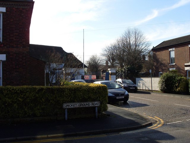
County Ground, Lakenham
The County Ground in Lakenham, Norwich, Norfolk was a cricket ground for over two hundred years, hosting both first-class and List A cricket. Five first...

Norfolk Record Office
The Norfolk Record Office holds the archives for the County of Norfolk. The archives are held at Martineau Lane, Norwich, and run by Norfolk County Council...
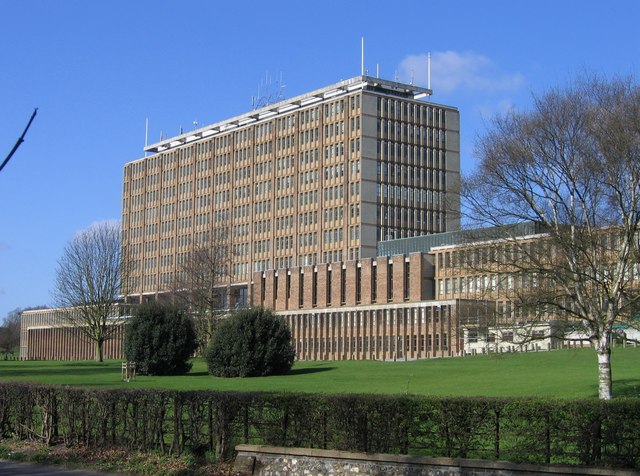
County Hall, Norwich
County Hall is a municipal facility at Martineau Lane in Norwich, Norfolk. It is the headquarters of Norfolk County Council. == History == For much of...

Bracondale School
Bracondale School was a private boys' school in the Bracondale area of Norwich, Norfolk. It existed from 1821 to 1993. == History == The school was opened...
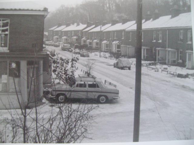
Argyle Street, Norwich
Argyle Street was a Victorian terraced street in Norwich, Norfolk. It became a squat lasting from 1979 to 1985. The street was then demolished in 1986...
The Hewett Academy
The Hewett Academy (formerly the Hewett School) is a coeducational secondary school located in the south of the English city of Norwich. == History... ==
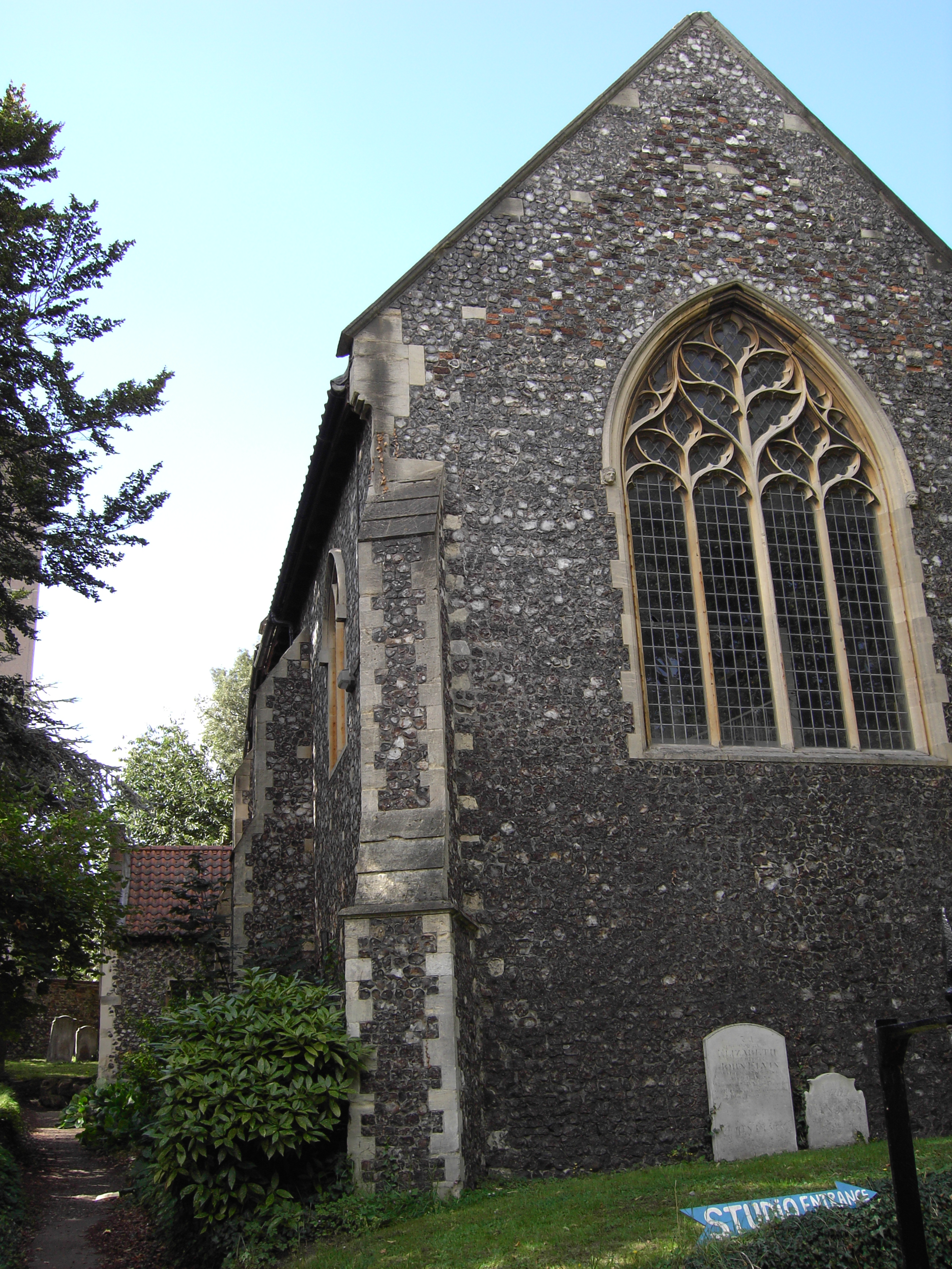
St Etheldreda's Church, Norwich
St Etheldreda's Church, Norwich is a Grade I listed redundant parish church in the Church of England in Norwich. == History == The church is medieval dating...
Notre Dame High School, Norwich
Notre Dame High School (NDHS) is a Roman Catholic secondary school and sixth form with academy status in Norwich, Norfolk, England. The school opened in...
Nearby Amenities
Located within 500m of 52.615737,1.29925Have you been to Lakenham?
Leave your review of Lakenham below (or comments, questions and feedback).