Redcloak
Settlement in Kincardineshire
Scotland
Redcloak
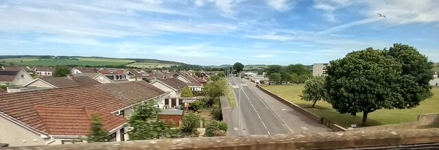
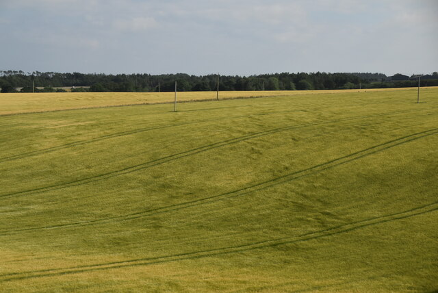
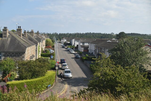
Redcloak is a small village located in the county of Kincardineshire, Scotland. Situated approximately 10 miles south of the town of Stonehaven, it is nestled in a picturesque countryside setting with rolling hills and lush greenery. Redcloak is part of the larger Redcloak Farm, which encompasses the surrounding farmland and rural area.
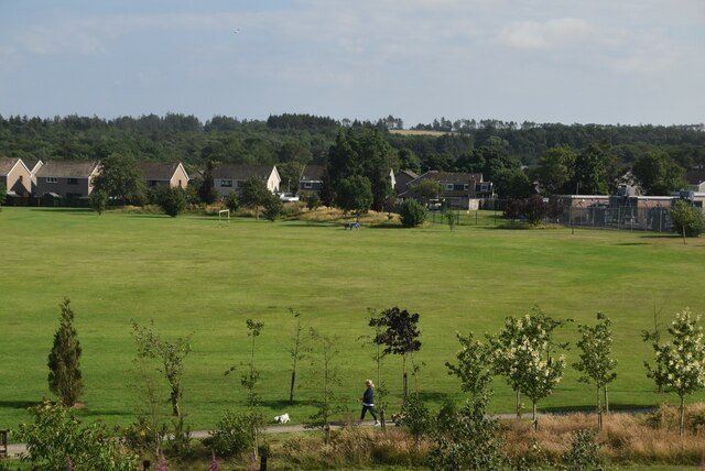
The village is characterized by its charming and tranquil atmosphere, offering a peaceful retreat for residents and visitors alike. It is primarily a residential area, with a small population of friendly and tight-knit community members. The village consists of a cluster of traditional stone houses, some of which date back several centuries, adding to the historical charm of the area.
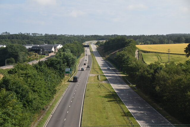
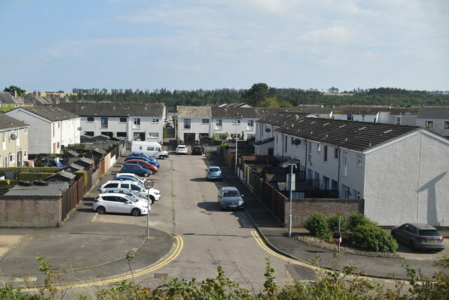
While Redcloak itself does not have many amenities, it benefits from its close proximity to Stonehaven, where residents can find a wider range of facilities, including shops, restaurants, and schools. The village is well-connected by road, with the A90 trunk road running nearby, providing easy access to other towns and cities in the region.
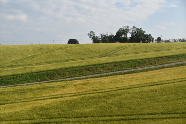
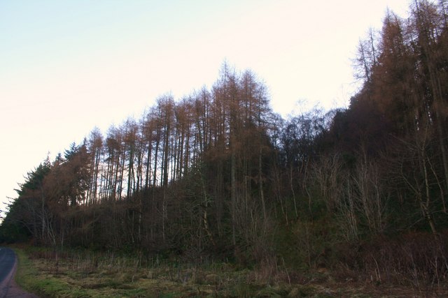
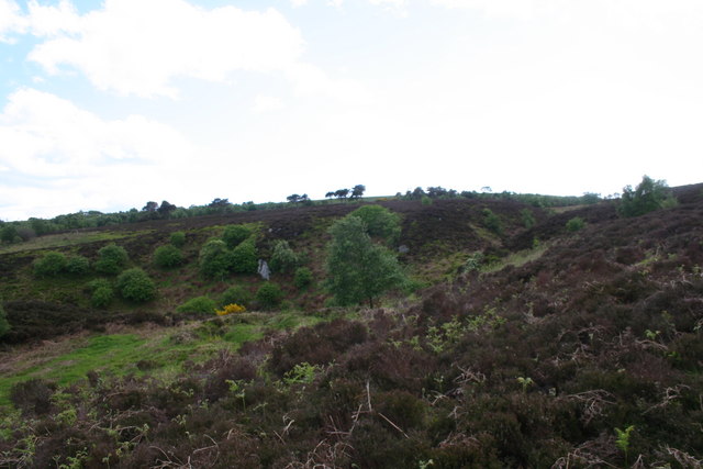
The surrounding countryside offers ample opportunities for outdoor activities, such as hiking, cycling, and nature walks. The nearby Dunnottar Castle, perched on a cliff overlooking the North Sea, is a popular tourist attraction and adds to the historical significance of the area.
In summary, Redcloak is a quaint and peaceful village in Kincardineshire, Scotland, offering a serene lifestyle and access to beautiful countryside surroundings.
If you have any feedback on the listing, please let us know in the comments section below.
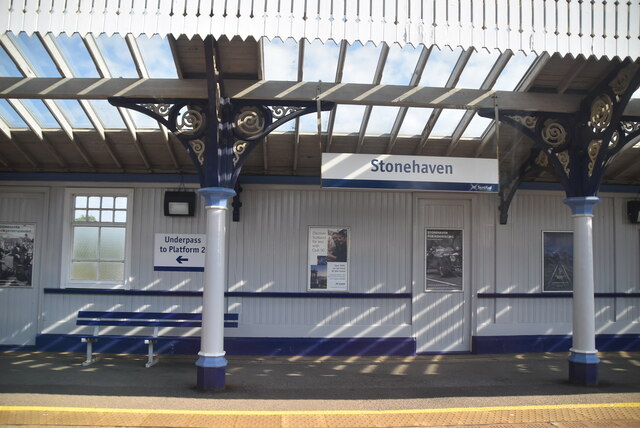
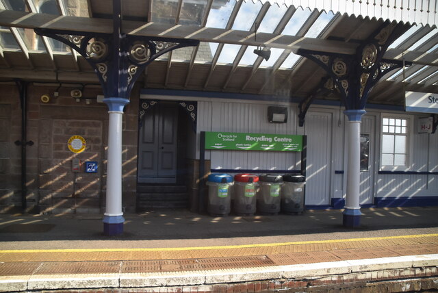
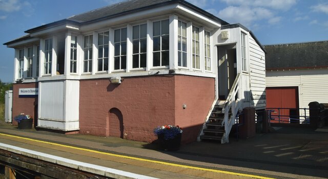
Redcloak Images
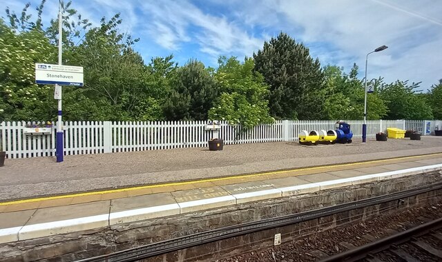
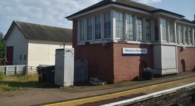
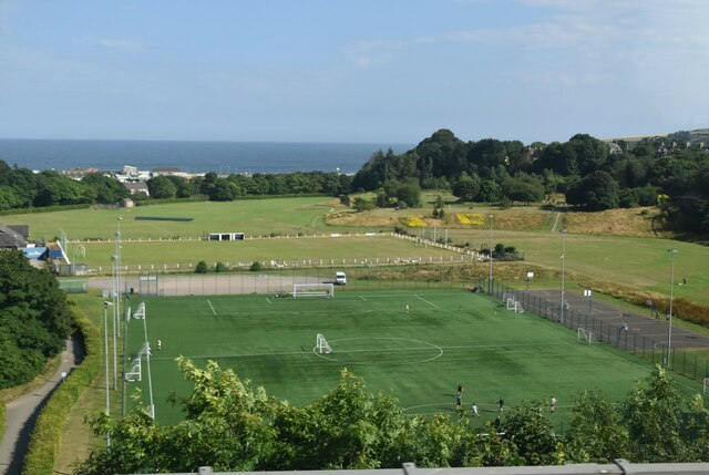
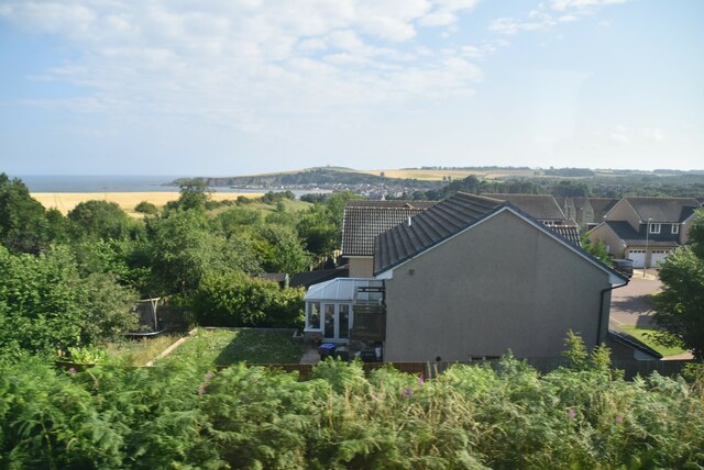
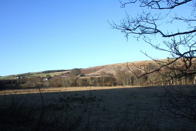
Images are sourced within 2km of 56.976715/-2.2431401 or Grid Reference NO8587. Thanks to Geograph Open Source API. All images are credited.
Redcloak is located at Grid Ref: NO8587 (Lat: 56.976715, Lng: -2.2431401)
Unitary Authority: Aberdeenshire
Police Authority: North East
What 3 Words
///weeps.cable.matter. Near Stonehaven, Aberdeenshire
Related Wikis

Ury House
Ury House is a large ruined mansion in Aberdeenshire, Scotland, built in the Elizabethan style in 1885 by Sir Alexander Baird, 1st Baronet. It is situated...

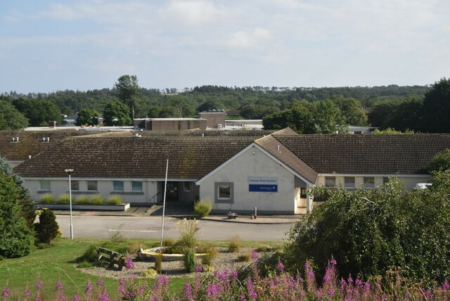
Kincardine Community Hospital
Kincardine Community Hospital is a small hospital at Kirkton Road, Stonehaven, Aberdeenshire, Scotland. It is managed by NHS Grampian. == History == The...
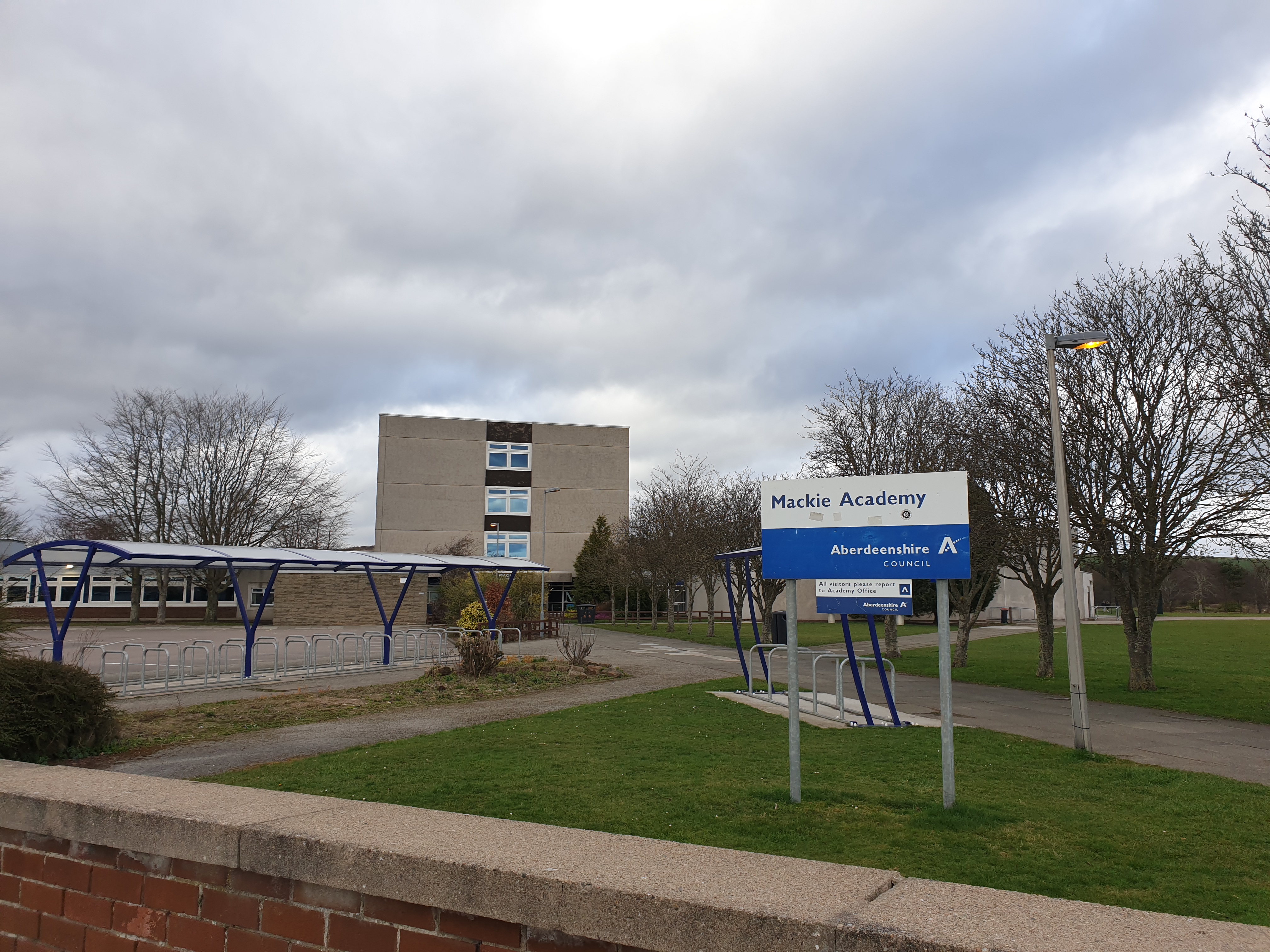
Mackie Academy
Mackie Academy is a secondary school in Stonehaven, Aberdeenshire. As of the 2023/2024 school year, Mackie Academy had roughly 1,112 pupils and 80 teaching...

Kirktown of Fetteresso
The Kirktown of Fetteresso is a well-preserved village near Stonehaven, Scotland. In the planning area of Kincardine and Mearns, Aberdeenshire, this village...
Nearby Amenities
Located within 500m of 56.976715,-2.2431401Have you been to Redcloak?
Leave your review of Redcloak below (or comments, questions and feedback).