Redcoats Green
Settlement in Hertfordshire North Hertfordshire
England
Redcoats Green
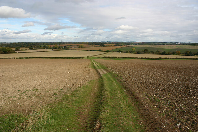
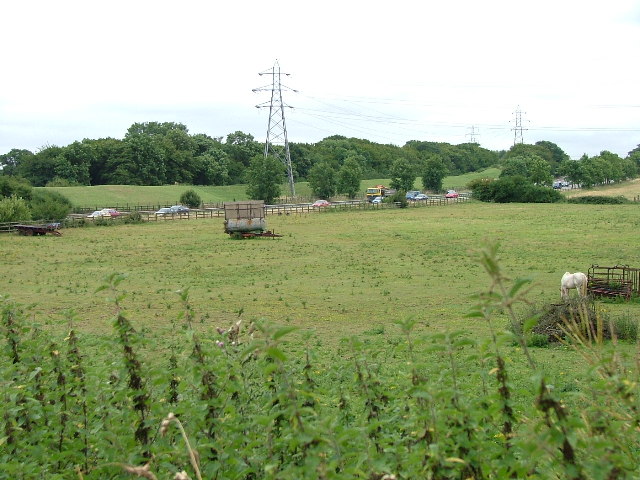
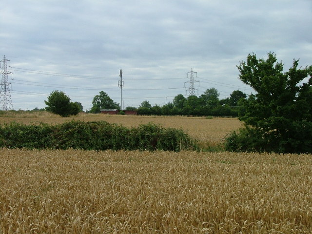
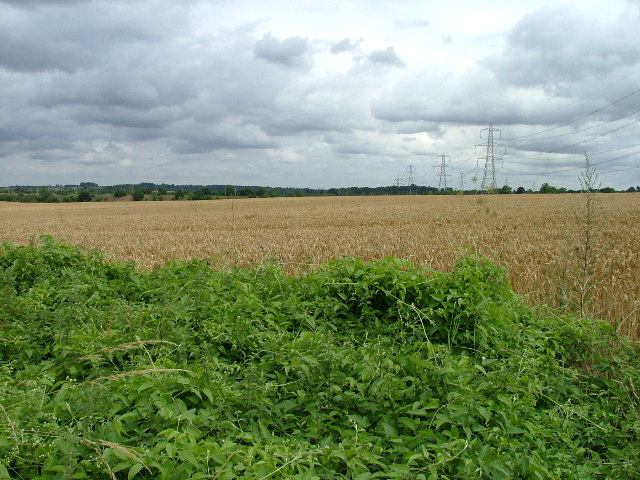
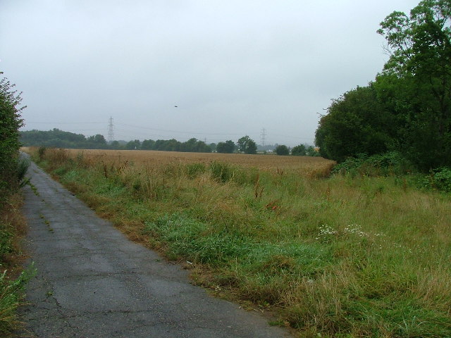
Redcoats Green is a small village located in the county of Hertfordshire, England. Situated approximately 4 miles north of the town of Hitchin, it is a charming and picturesque rural community. The village is nestled amidst rolling countryside, surrounded by fields and farmland, offering residents and visitors a tranquil and idyllic setting.
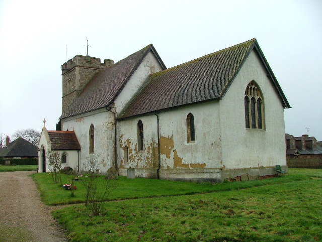
Redcoats Green is renowned for its historical significance, with evidence of human habitation dating back to the Roman period. The name of the village is believed to originate from the red coats worn by the soldiers stationed nearby during the English Civil War.
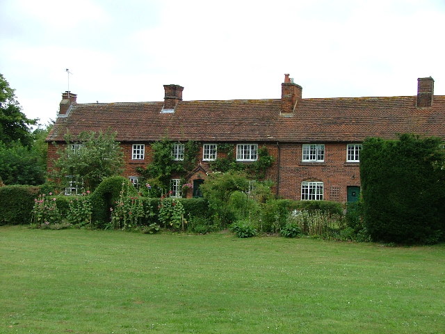
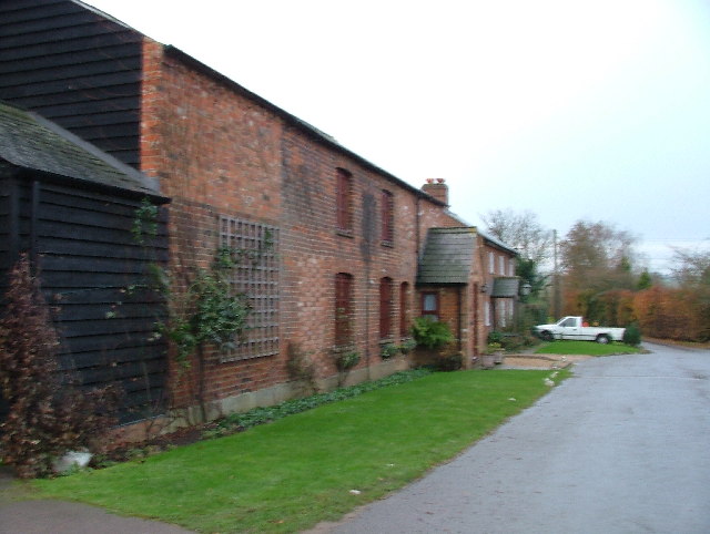
The heart of Redcoats Green is its village green, a beautifully maintained open space that serves as a central meeting point for locals. The green is bordered by a handful of picturesque cottages, giving the area a traditional and quintessentially English charm.
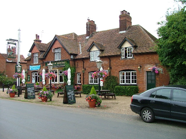
Although a small village, Redcoats Green boasts a strong sense of community spirit. Local events and activities are regularly organized, ranging from summer fairs to community sports tournaments. The village pub, The Red Lion, is a popular gathering spot for residents and visitors alike, offering a warm and friendly atmosphere.
Despite its rural location, Redcoats Green benefits from good transport links. The nearby town of Hitchin provides access to the mainline train network, connecting the village to London and other major cities.
For those seeking a peaceful and scenic retreat, Redcoats Green offers a charming escape from the hustle and bustle of urban life, with its rich history, sense of community, and stunning natural surroundings.
If you have any feedback on the listing, please let us know in the comments section below.
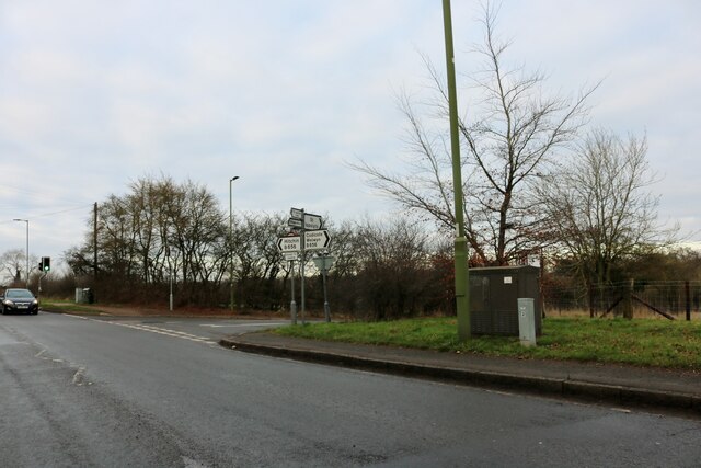
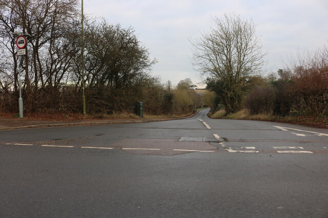
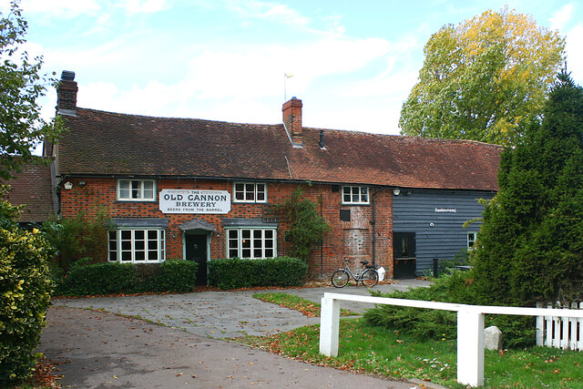
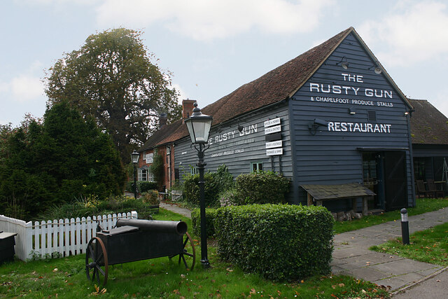
Redcoats Green Images
Images are sourced within 2km of 51.925327/-0.24479528 or Grid Reference TL2026. Thanks to Geograph Open Source API. All images are credited.
Redcoats Green is located at Grid Ref: TL2026 (Lat: 51.925327, Lng: -0.24479528)
Administrative County: Hertfordshire
District: North Hertfordshire
Police Authority: Hertfordshire
What 3 Words
///little.lend.songs. Near Hitchin, Hertfordshire
Nearby Locations
Related Wikis

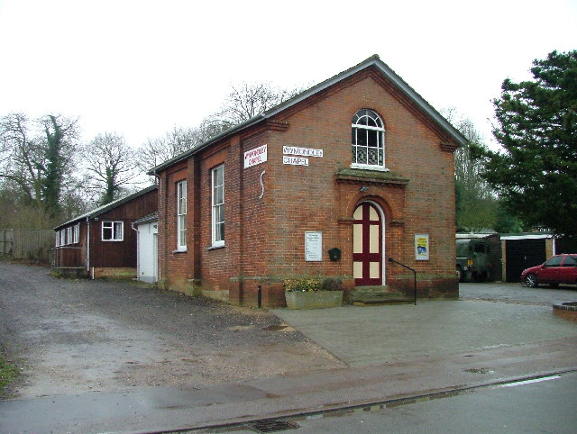
Wymondley College
Wymondley College was a dissenting academy at Wymondley House in Little Wymondley, Hertfordshire, England. Intended for the education of future nonconformist...
Wymondley House
Wymondley House is a building in the North Hertfordshire village of Little Wymondley that was built in 1724. At one time the home of a dissenting academy...
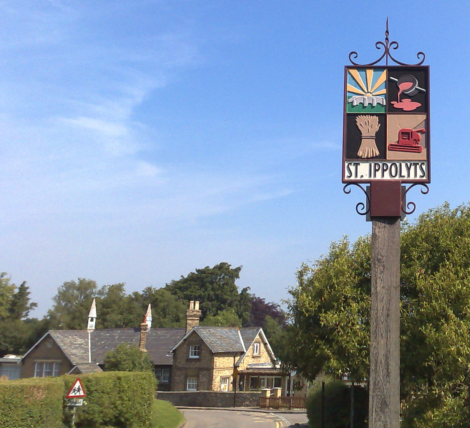
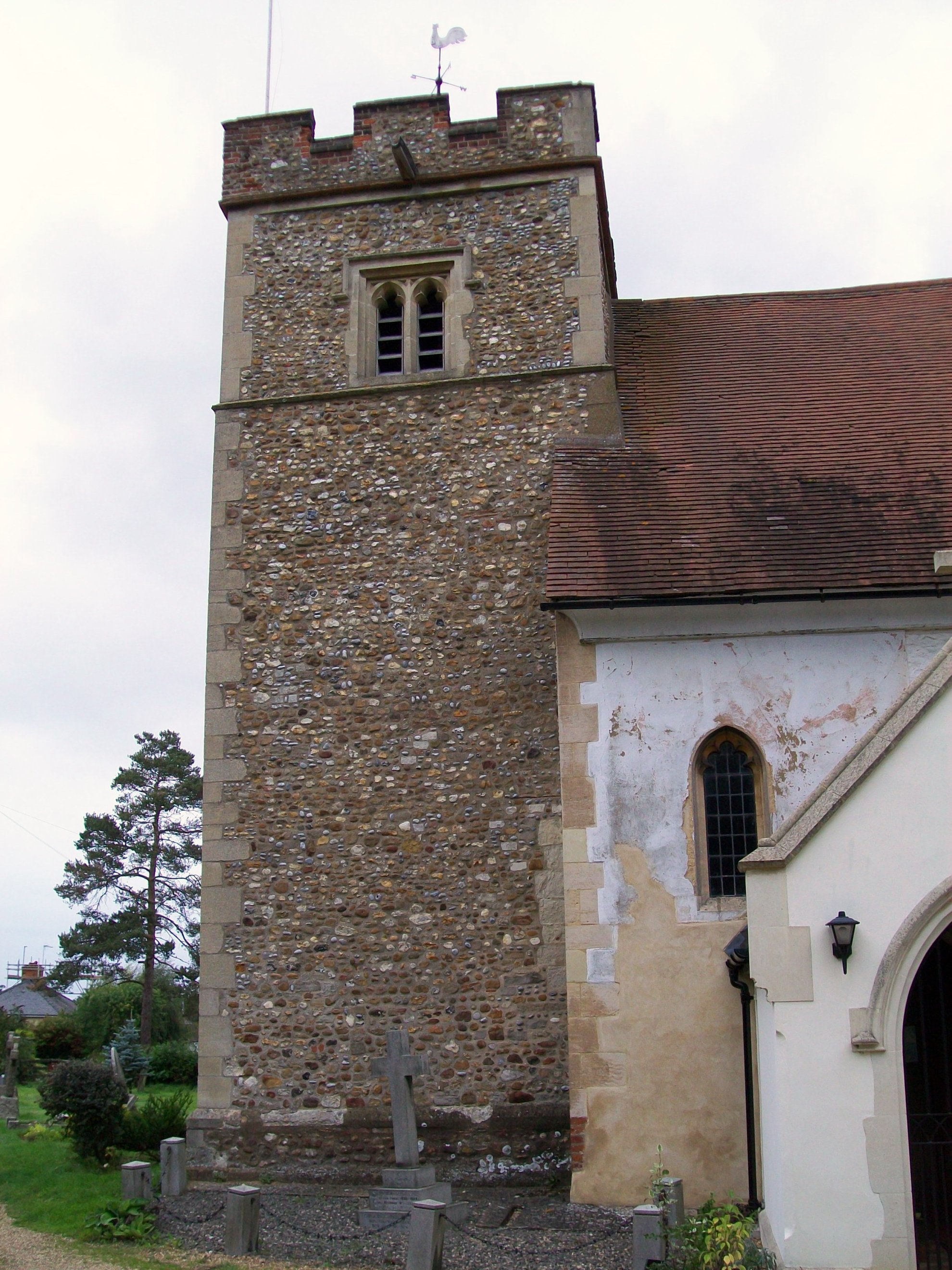
St Ippolyts
St Ippolyts (or St Ippollitts) is a village and civil parish on the southern edge of Hitchin in Hertfordshire, England. It has a population of approximately...
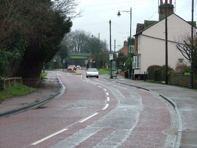
Little Wymondley
Little Wymondley is a village and former civil parish situated between Hitchin and Stevenage, now in the parish of Wymondley, in the North Hertfordshire...
Nearby Amenities
Located within 500m of 51.925327,-0.24479528Have you been to Redcoats Green?
Leave your review of Redcoats Green below (or comments, questions and feedback).