Glen Ury
Valley in Kincardineshire
Scotland
Glen Ury
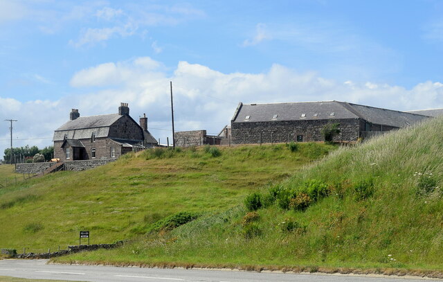
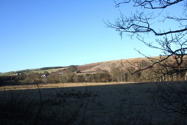
Glen Ury is a picturesque valley located in Kincardineshire, Scotland. Situated approximately 20 miles south of Aberdeen, it is surrounded by rolling hills and offers breathtaking views of the countryside. The valley is known for its natural beauty and is a popular destination for nature lovers and outdoor enthusiasts.
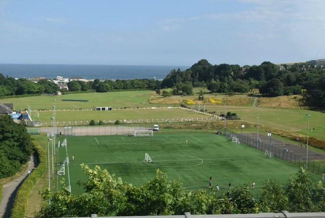
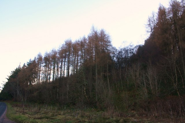
Glen Ury is home to a diverse range of flora and fauna, with its rich biodiversity attracting visitors from far and wide. The tranquil River Ury flows through the valley, adding to its charm and providing opportunities for fishing and water activities. The surrounding hills offer excellent hiking and walking trails, allowing visitors to explore the area and take in the stunning scenery.
The valley is also steeped in history, with several archaeological sites and ancient ruins scattered throughout. These include standing stones, burial mounds, and remnants of old settlements, providing a glimpse into the area's past. Glen Ury has played a significant role in Scotland's heritage and is a fascinating place for history enthusiasts.
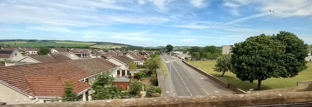
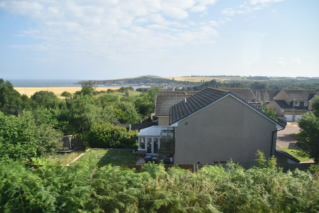
Despite its rural setting, Glen Ury is well-connected to nearby towns and cities, making it easily accessible for visitors. The valley offers a peaceful retreat away from the hustle and bustle of urban life, providing a perfect opportunity to relax and unwind in a tranquil natural setting.
Overall, Glen Ury in Kincardineshire is a captivating valley that offers a unique blend of natural beauty, historical significance, and opportunities for outdoor activities. Whether you're seeking a peaceful getaway or an adventure-filled exploration, Glen Ury has something to offer for everyone.
If you have any feedback on the listing, please let us know in the comments section below.
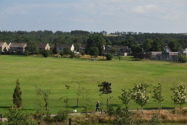
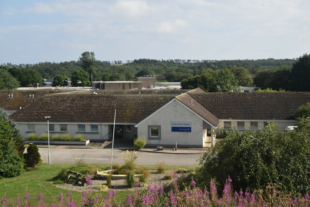
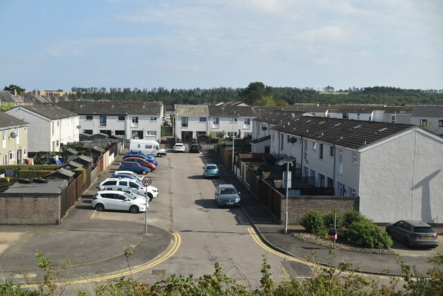
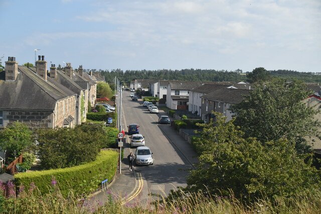
Glen Ury Images
Images are sourced within 2km of 56.978953/-2.2331192 or Grid Reference NO8587. Thanks to Geograph Open Source API. All images are credited.


Glen Ury is located at Grid Ref: NO8587 (Lat: 56.978953, Lng: -2.2331192)
Unitary Authority: Aberdeenshire
Police Authority: North East
What 3 Words
///protects.outfitter.choppers. Near Stonehaven, Aberdeenshire
Related Wikis

Ury House
Ury House is a large ruined mansion in Aberdeenshire, Scotland, built in the Elizabethan style in 1885 by Sir Alexander Baird, 1st Baronet. It is situated...
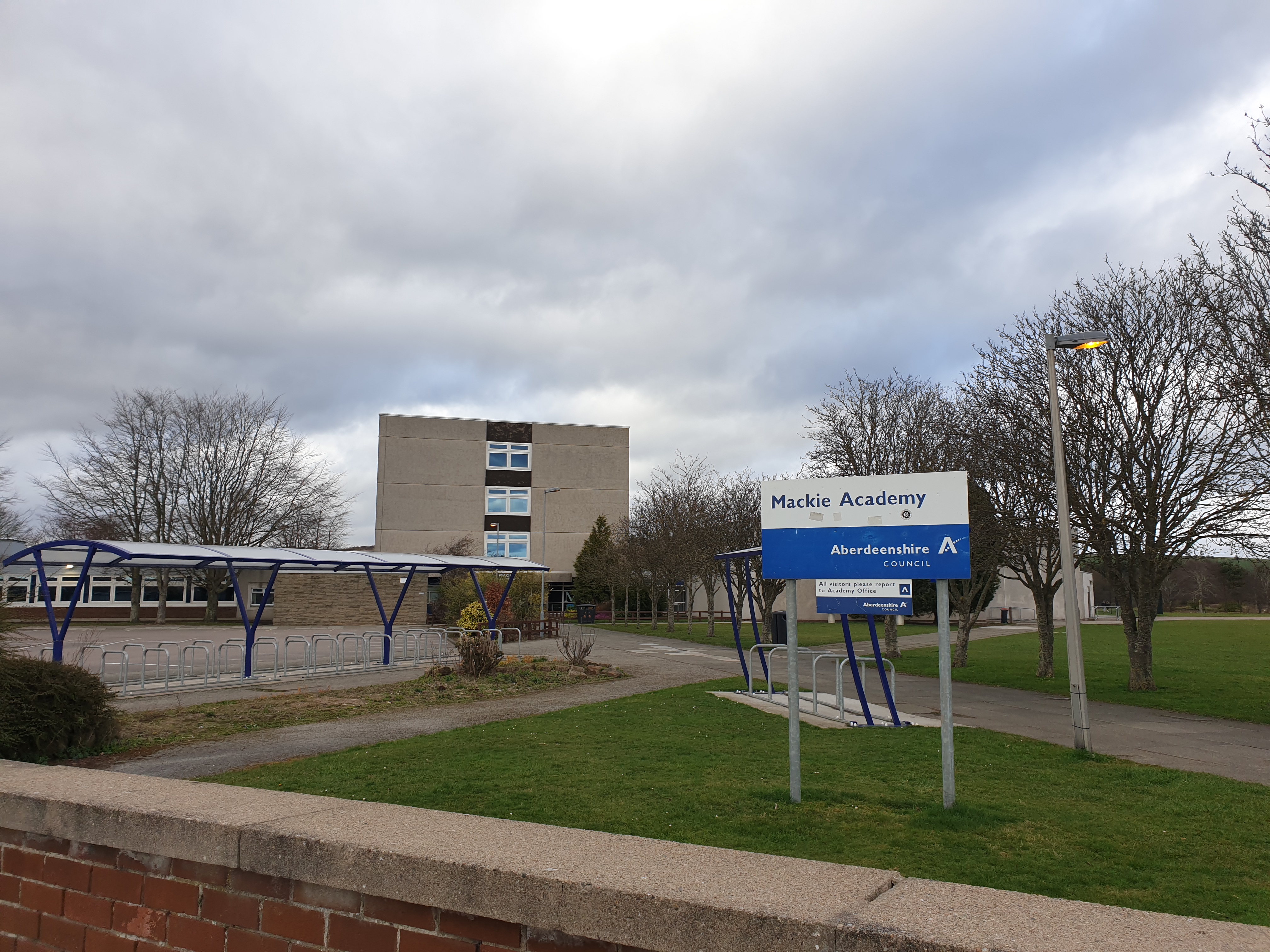
Mackie Academy
Mackie Academy is a secondary school in Stonehaven, Aberdeenshire. As of the 2023/2024 school year, Mackie Academy had roughly 1,112 pupils and 80 teaching...

Kincardine Community Hospital
Kincardine Community Hospital is a small hospital at Kirkton Road, Stonehaven, Aberdeenshire, Scotland. It is managed by NHS Grampian. == History == The...

Glenury Viaduct
Glenury Viaduct is a double-track railway viaduct in Stonehaven, Scotland. It is Category B listed. The viaduct is situated north of Stonehaven railway...
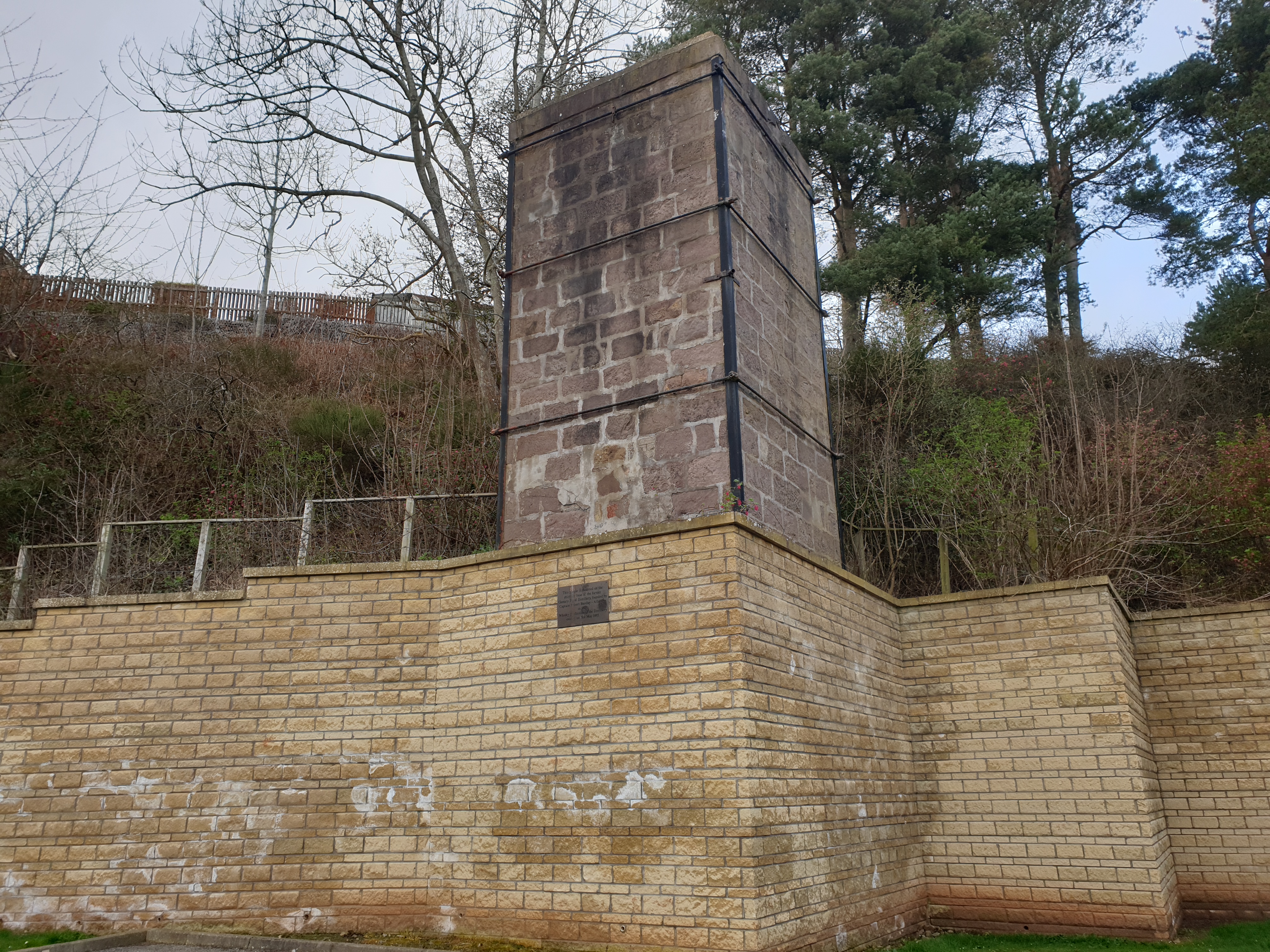
Glenury distillery
Glenury distillery (also known as Glenury Royal) was a producer of single malt Scotch whisky in Stonehaven, Scotland that operated under a number of different...
Stonehaven F.C.
Stonehaven Football Club are a Scottish Junior football club from Stonehaven, Aberdeenshire. The club currently play in the McBookie.com SJFA North Superleague...

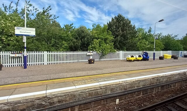
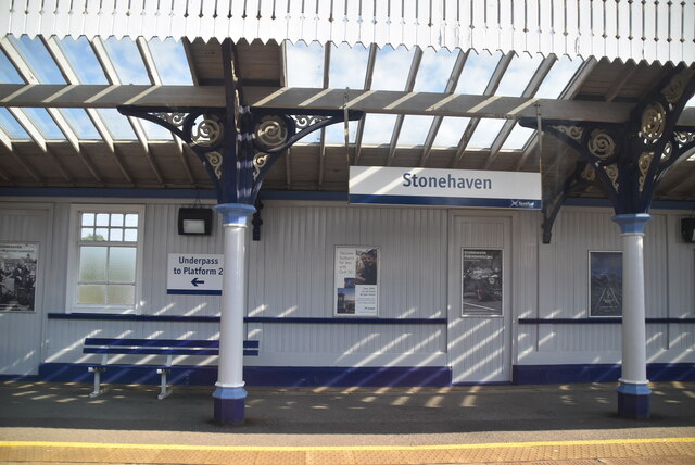
Stonehaven railway station
Stonehaven railway station serves the town of Stonehaven in Aberdeenshire, Scotland, United Kingdom. It is sited 224 miles 74 chains (362.0 kilometres...

Red Cloak
Red Cloak is an industrial area of Stonehaven, Aberdeenshire, Scotland. The site's settlement history is associated with events at the nearby Chapel of...
Nearby Amenities
Located within 500m of 56.978953,-2.2331192Have you been to Glen Ury?
Leave your review of Glen Ury below (or comments, questions and feedback).