Raffles
Settlement in Cumberland Carlisle
England
Raffles

Raffles Cumberland is a prestigious residential development located in the heart of Singapore's prime district. Situated at 15 Cumberland Road, it is known for its exclusive and luxurious living experience. The development comprises a range of high-end apartments and penthouses that offer stunning views of the city skyline and the nearby lush greenery.
Raffles Cumberland is designed with elegance and sophistication in mind, boasting modern architecture and top-notch facilities. The apartments feature spacious layouts with top-of-the-line finishes and fittings, providing residents with a comfortable and stylish living space. The development also offers a variety of unit sizes to cater to different preferences and needs.
Residents of Raffles Cumberland can indulge in a wide range of amenities within the development. These include a swimming pool, a well-equipped gymnasium, a tennis court, and beautifully landscaped gardens. Additionally, 24-hour security ensures a safe and secure living environment for all residents.
The location of Raffles Cumberland is highly sought after, as it is conveniently situated near various amenities and attractions. Residents can easily access popular shopping malls, fine dining establishments, and entertainment venues. The development is also well-connected to major highways and public transportation, making it easy to travel to other parts of the city.
In summary, Raffles Cumberland offers an exclusive and luxurious living experience in one of Singapore's most desirable locations. With its high-end apartments, top-notch facilities, and convenient location, it is an ideal choice for those seeking a sophisticated and comfortable lifestyle.
If you have any feedback on the listing, please let us know in the comments section below.
Raffles Images
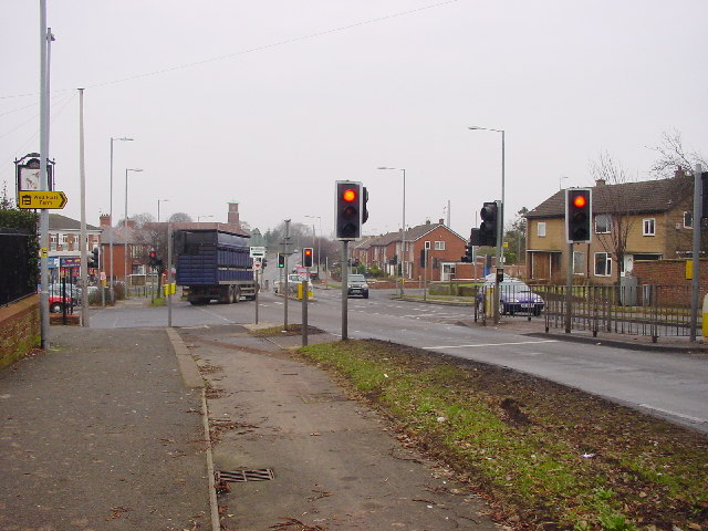
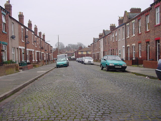
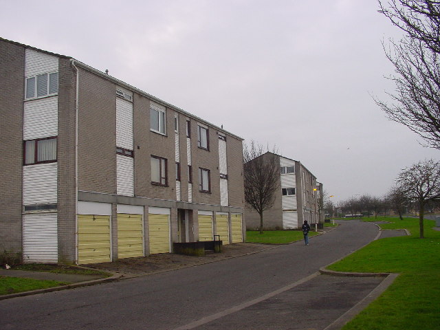
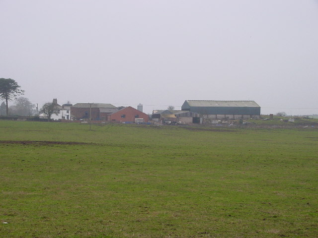
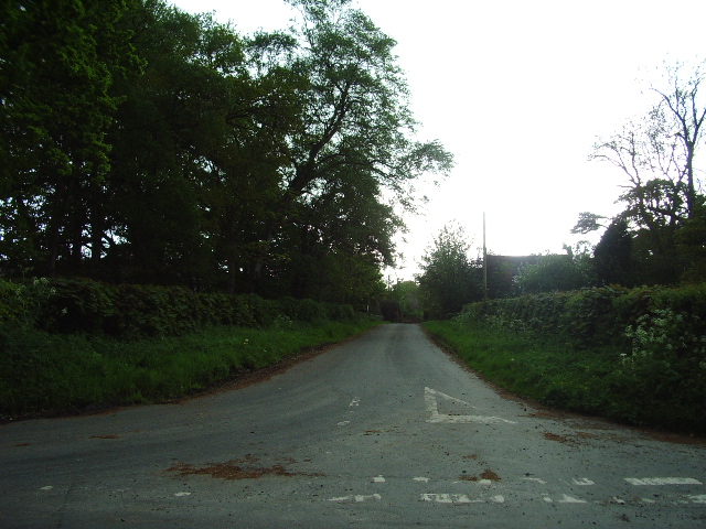
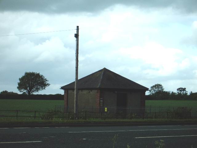
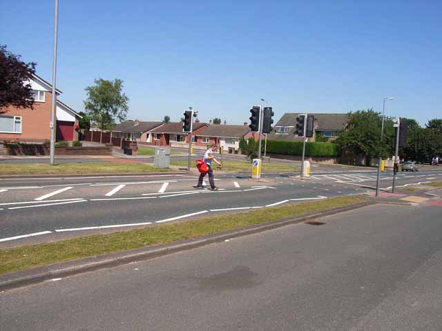
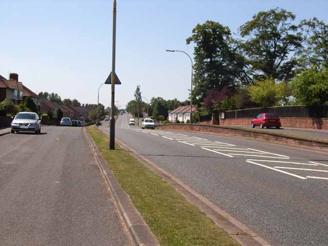
Images are sourced within 2km of 54.890152/-2.969303 or Grid Reference NY3755. Thanks to Geograph Open Source API. All images are credited.


Raffles is located at Grid Ref: NY3755 (Lat: 54.890152, Lng: -2.969303)
Administrative County: Cumbria
District: Carlisle
Police Authority: Cumbria
What 3 Words
///loved.bared.bands. Near Denton Holme, Cumbria
Related Wikis

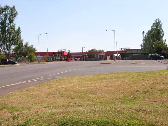
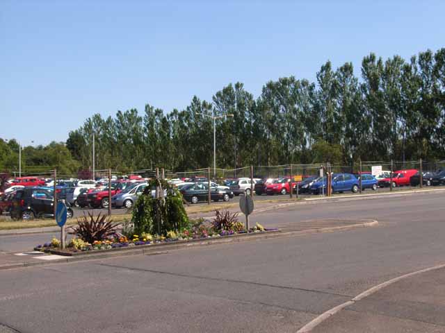
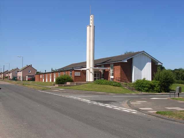
Raffles, Cumbria
Raffles or the Raffles Estate is a suburb of Carlisle, Cumbria, United Kingdom. The estate consists mainly of council built and Housing association properties...

Belle Vue, Cumbria
Belle Vue is a suburb of Carlisle, in the Cumberland district, in the ceremonial county of Cumbria, England. The ward population taken at the 2011 census...
Milecastle 67
Milecastle 67 (Stainton) is a conjectured milecastle of the Roman Hadrian's Wall. The site of the milecastle has been calculated from measurement to known...

Cumberland Infirmary
Cumberland Infirmary is a hospital in Carlisle, Cumbria, England. It is managed by the North Cumbria Integrated Care NHS Foundation Trust. == History... ==
Nearby Amenities
Located within 500m of 54.890152,-2.969303Have you been to Raffles?
Leave your review of Raffles below (or comments, questions and feedback).