Pye Corner
Settlement in Somerset South Somerset
England
Pye Corner
Pye Corner is a small village located in Somerset, England. Situated in the Mendip Hills, it is surrounded by picturesque countryside, making it an ideal destination for nature enthusiasts and hikers. The village is characterized by its charming, traditional cottages and tranquil atmosphere.
Despite its small size, Pye Corner has a rich history. The area was once known for its mining activities, with coal being the primary resource extracted. Evidence of this industrial past can still be seen in the remnants of old mines and the disused railway track that used to transport the coal.
Today, Pye Corner is primarily a residential area, with a close-knit community that takes pride in maintaining the village's unique character. It is a popular choice for those seeking a peaceful rural lifestyle, away from the hustle and bustle of larger towns and cities.
Nature lovers will find plenty to explore in the surrounding area, as Pye Corner is conveniently located near numerous walking trails and nature reserves. One such attraction is the Mendip Hills Area of Outstanding Natural Beauty, which offers stunning views of the rolling hills and diverse wildlife.
In terms of amenities, Pye Corner has a small village hall that serves as a social hub for residents, hosting various community events throughout the year. Additionally, there is a local pub where visitors can enjoy a meal or a pint of local Somerset cider.
Overall, Pye Corner offers a tranquil retreat in the heart of the Somerset countryside, with its natural beauty and rich history attracting both locals and tourists alike.
If you have any feedback on the listing, please let us know in the comments section below.
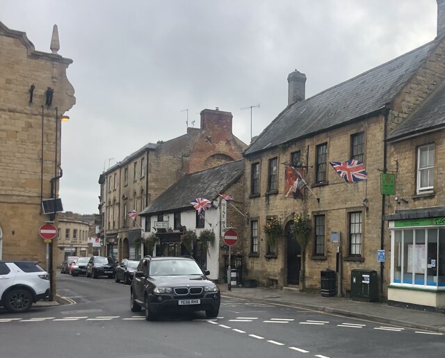
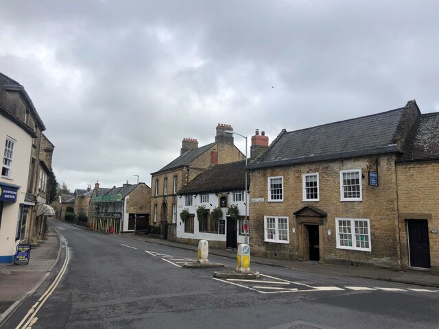
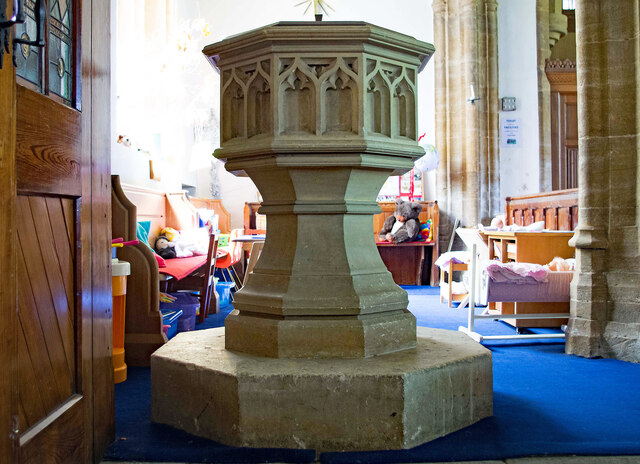
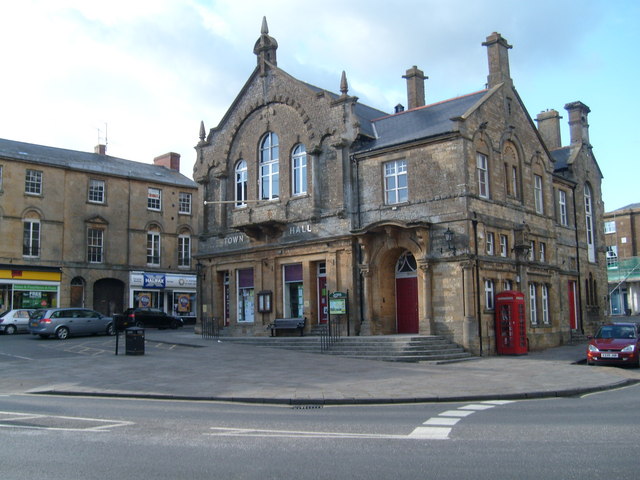
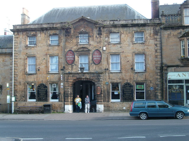
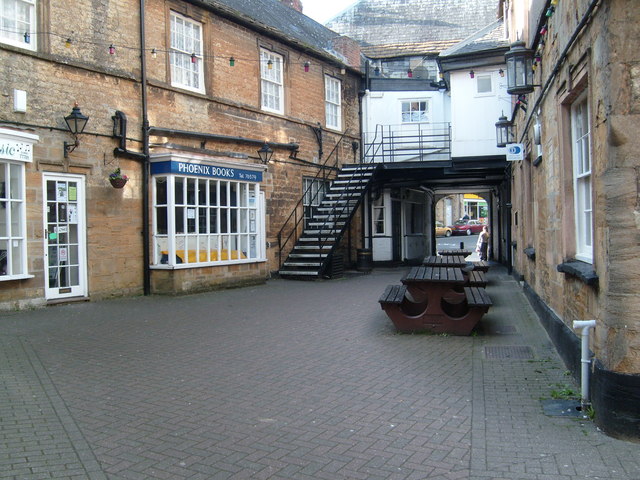
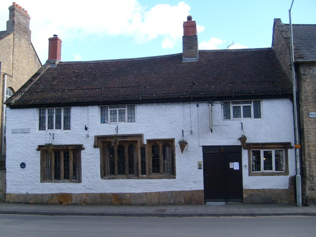
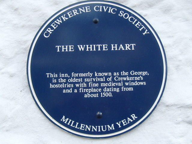
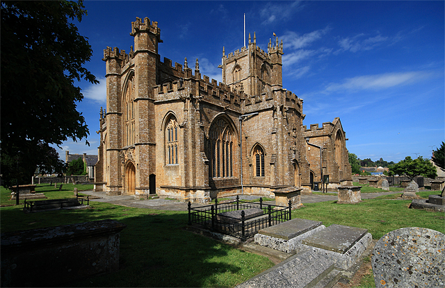
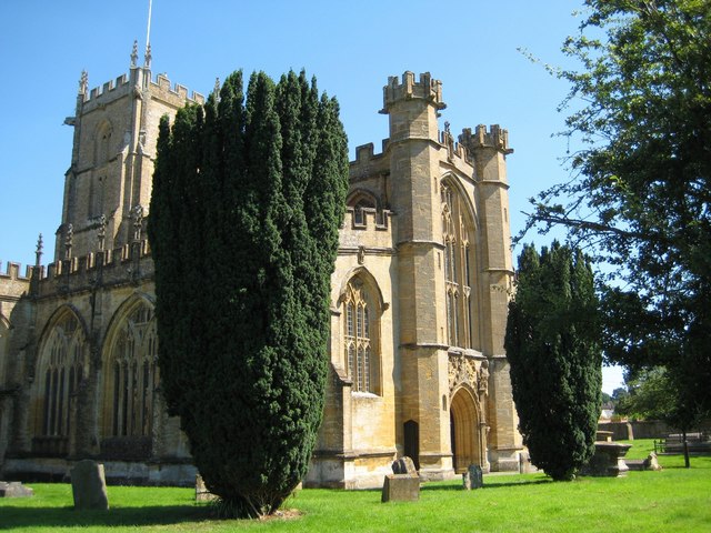
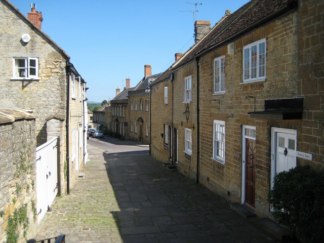
Pye Corner Images
Images are sourced within 2km of 50.902386/-2.7938953 or Grid Reference ST4411. Thanks to Geograph Open Source API. All images are credited.
Pye Corner is located at Grid Ref: ST4411 (Lat: 50.902386, Lng: -2.7938953)
Administrative County: Somerset
District: South Somerset
Police Authority: Avon and Somerset
What 3 Words
///mops.torn.stunt. Near Merriott, Somerset
Nearby Locations
Related Wikis
Beacon Limestone Formation
The Beacon Limestone Formation, historically known as the Junction Bed, is a formation of the early Jurassic age (Pliensbachian–Toarcian). It lies above...

Merriott
Merriott is a village and civil parish in Somerset, England, near the town of Crewkerne and 7 miles (11.3 km) west of Yeovil in the South Somerset district...
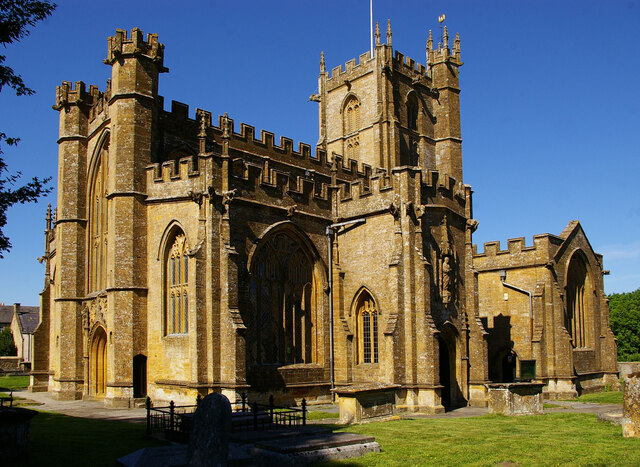
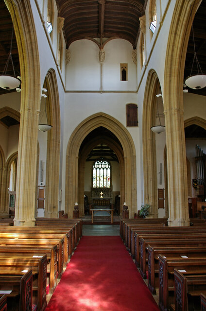
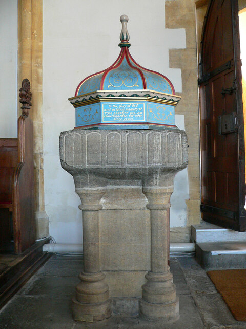
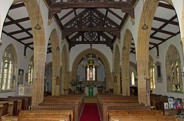
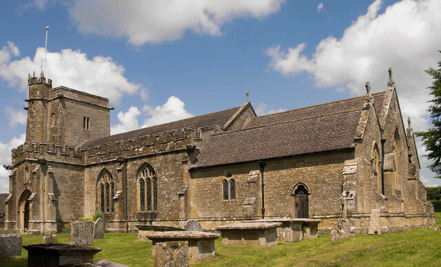
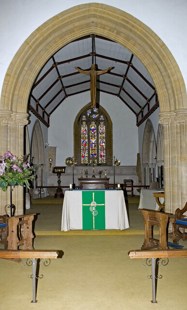
Church of All Saints, Merriott
The Anglican Church of All Saints in Merriott, Somerset, England was built in the 13th century. It is a Grade II* listed building. == History == The church...

Yeovil (UK Parliament constituency)
Yeovil is a constituency in Somerset created in 1918 and represented in the House of Commons of the Parliament of the United Kingdom. It has been represented...

Wadham School
Wadham School is a school for pupils aged 11–18 situated on a 20-acre (81,000 m2) site on the outskirts of Crewkerne in Somerset, England. The school has...
Haselbury Bridge
Haselbury Bridge (sometimes called Haselbury Old Bridge) is a stone built bridge dating from the 14th century in Haselbury Plucknett in the English county...
Millwater
Millwater (grid reference ST439100) is a 1.4 hectare (3.5 acre) biological Site of Special Scientific Interest at Crewkerne in Somerset, notified in 1989...

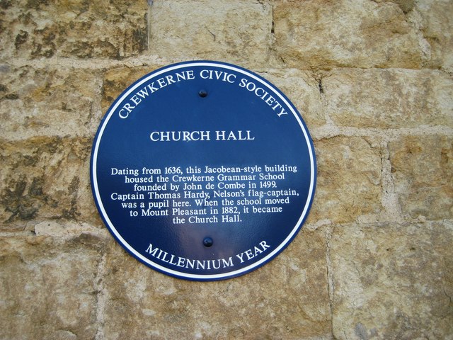
Crewkerne Grammar School
Crewkerne Grammar School was a grammar school in the town of Crewkerne in the English county of Somerset. == History == The school was founded in 1499...
Nearby Amenities
Located within 500m of 50.902386,-2.7938953Have you been to Pye Corner?
Leave your review of Pye Corner below (or comments, questions and feedback).