Furringdons Cross
Settlement in Somerset South Somerset
England
Furringdons Cross
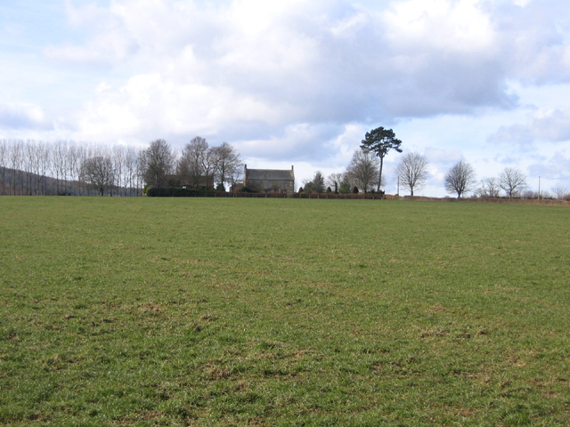
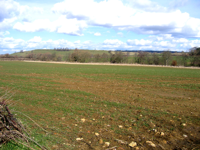
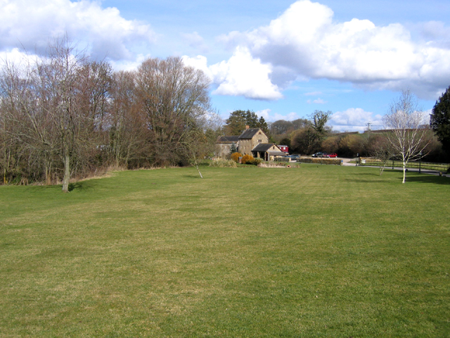
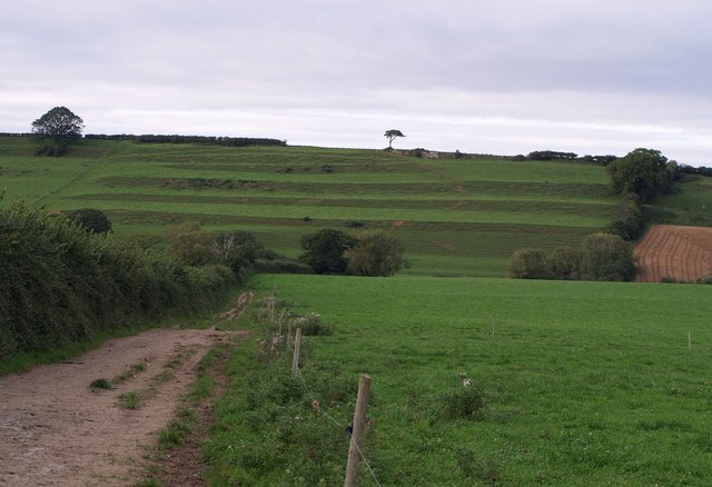
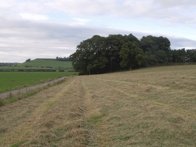
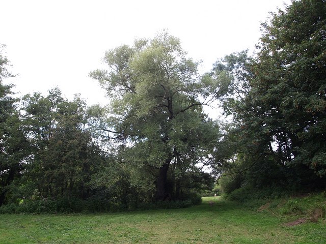
Furringdons Cross is a small rural hamlet located in Somerset, England. Situated in the South West of the country, it is nestled within the picturesque countryside, surrounded by rolling hills and farmland. The hamlet falls within the Mendip District and is approximately 10 miles south of the city of Bath.
The name Furringdons Cross is derived from the Old English words "fyrhthurn" meaning "fern thicket" and "cros" meaning "crossroads." This reflects the hamlet's location at the junction of several minor roads, which has historically made it a hub for transportation and trade.
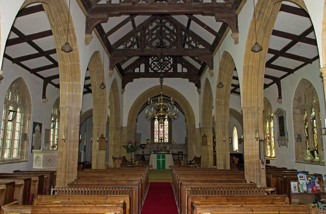
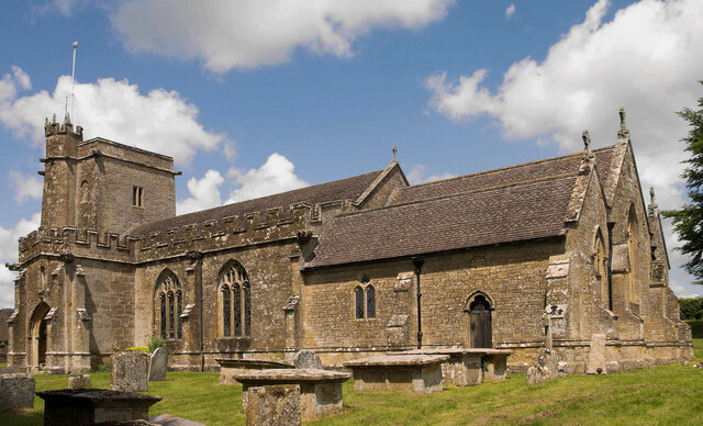
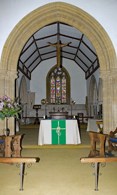
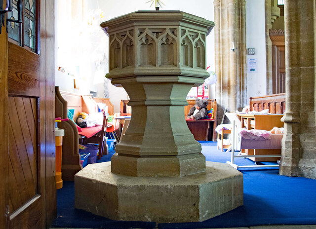
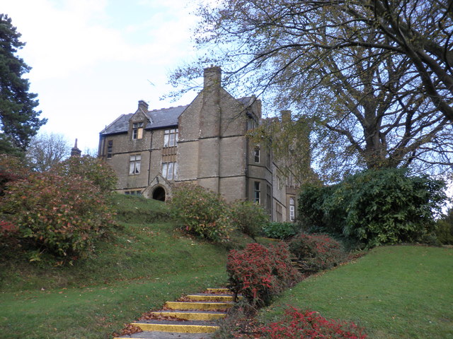
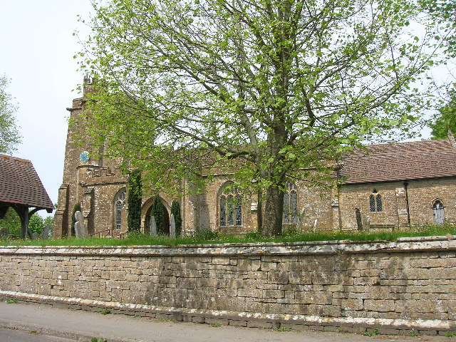
Despite its small size, Furringdons Cross has a rich history. The area is dotted with historic buildings, including traditional thatched cottages and farmhouses. The charming St. Mary's Church, a Grade II listed building, is also located here. Dating back to the 12th century, the church features intricate architectural details and serves as a reminder of the area's heritage.
The hamlet is well-known for its strong sense of community. Residents actively participate in local events and gatherings, fostering a warm and welcoming atmosphere. The surrounding countryside offers opportunities for outdoor activities such as hiking, cycling, and horseback riding, making Furringdons Cross an appealing destination for nature lovers and outdoor enthusiasts.
Overall, Furringdons Cross is a tranquil and idyllic rural hamlet that retains its historical charm while offering a close-knit community and access to the beautiful Somerset countryside.
If you have any feedback on the listing, please let us know in the comments section below.
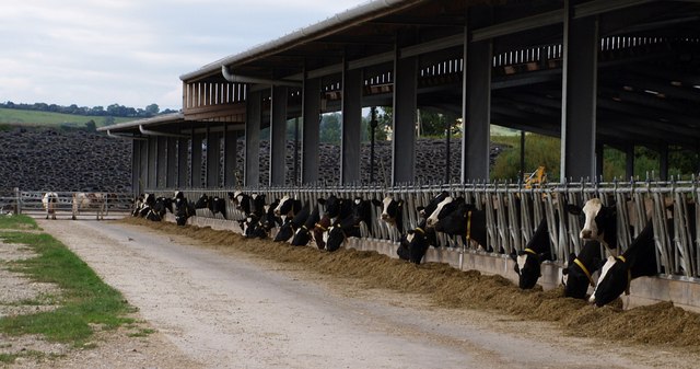
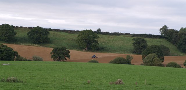
Furringdons Cross Images
Images are sourced within 2km of 50.903581/-2.7848422 or Grid Reference ST4411. Thanks to Geograph Open Source API. All images are credited.
Furringdons Cross is located at Grid Ref: ST4411 (Lat: 50.903581, Lng: -2.7848422)
Administrative County: Somerset
District: South Somerset
Police Authority: Avon and Somerset
What 3 Words
///enveloped.herring.indulges. Near Merriott, Somerset
Nearby Locations
Related Wikis

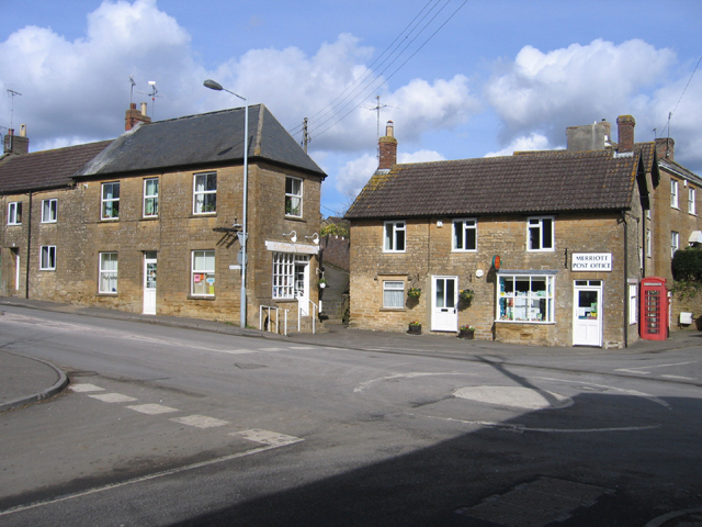
Merriott
Merriott is a village and civil parish in Somerset, England, near the town of Crewkerne and 7 miles (11.3 km) west of Yeovil in the South Somerset district...
Beacon Limestone Formation
The Beacon Limestone Formation, historically known as the Junction Bed, is a formation of the early Jurassic age (Pliensbachian–Toarcian). It lies above...
Church of All Saints, Merriott
The Anglican Church of All Saints in Merriott, Somerset, England was built in the 13th century. It is a Grade II* listed building. == History == The church...

Haselbury Bridge
Haselbury Bridge (sometimes called Haselbury Old Bridge) is a stone built bridge dating from the 14th century in Haselbury Plucknett in the English county...
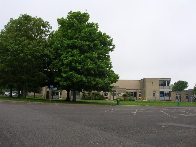
Wadham School
Wadham School is a school for pupils aged 11–18 situated on a 20-acre (81,000 m2) site on the outskirts of Crewkerne in Somerset, England. The school has...

Yeovil (UK Parliament constituency)
Yeovil is a constituency in Somerset created in 1918 and represented in the House of Commons of the Parliament of the United Kingdom. It has been represented...
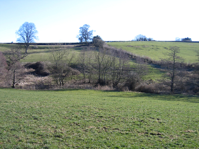
Millwater
Millwater (grid reference ST439100) is a 1.4 hectare (3.5 acre) biological Site of Special Scientific Interest at Crewkerne in Somerset, notified in 1989...

Crewkerne Town Hall
Crewkerne Town Hall is a municipal building in the Market Square in Crewkerne, Somerset, England. The building, which is the meeting place of Crewkerne...
Nearby Amenities
Located within 500m of 50.903581,-2.7848422Have you been to Furringdons Cross?
Leave your review of Furringdons Cross below (or comments, questions and feedback).