Quarleston

Settlement in Dorset

England

Quarleston

New Road near Winterborne Stickland
New Road near Winterborne Stickland Credit: Becky Williamson

Quarleston is a small village located in the county of Dorset, England. Situated amidst the picturesque countryside, it is nestled in a charming valley surrounded by rolling hills and lush green fields. The village is situated approximately 10 miles north-west of the county town of Dorchester.

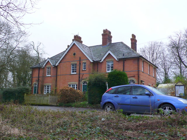
With a population of around 300 residents, Quarleston is a close-knit community known for its tranquil and idyllic atmosphere. The village is characterized by its quaint cottages and traditional architecture, many of which date back several centuries, providing a sense of history and heritage.

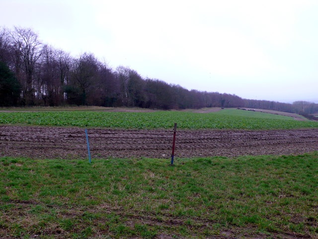
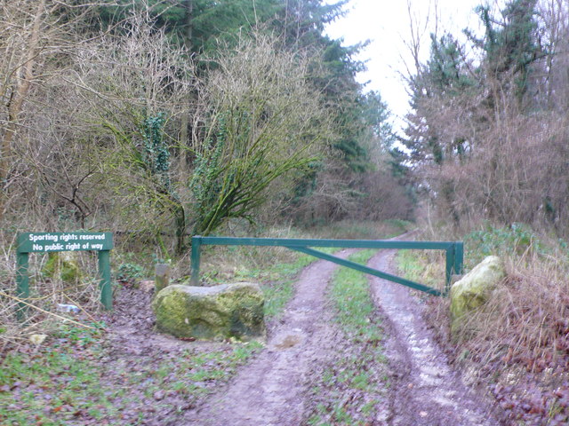
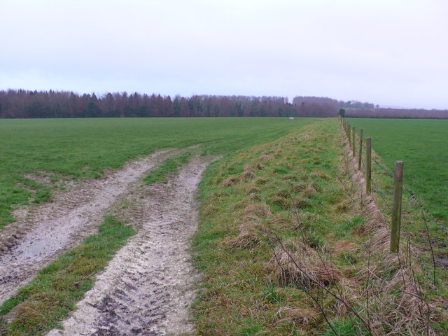
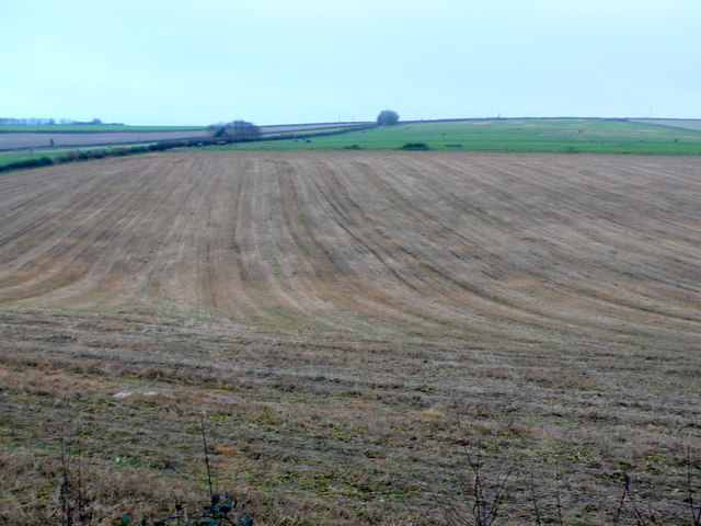
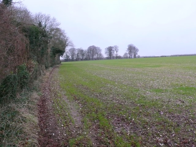
Quarleston is blessed with natural beauty, offering residents and visitors a plethora of outdoor activities. The surrounding countryside provides ample opportunities for hiking, cycling, and exploring the scenic landscapes. The nearby River Frome is a popular spot for boating and fishing enthusiasts.

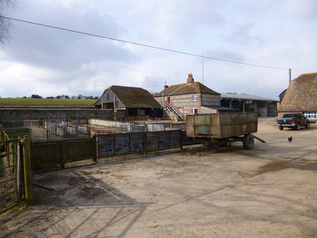
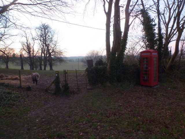
The village boasts a range of amenities to cater to the needs of its residents. These include a village hall, a local convenience store, and a charming village pub. The pub serves as a social hub, providing a warm and friendly environment for locals to gather and socialize.

Despite its small size, Quarleston benefits from excellent transport links. The nearby A35 road connects the village to the wider county, and the neighboring towns of Dorchester and Weymouth can be easily reached by car or public transport.

In summary, Quarleston is a tranquil and picturesque village in Dorset, offering a peaceful rural lifestyle with stunning natural surroundings. Its close-knit community and range of amenities make it an ideal place to reside for those seeking an escape from the bustling city life.

If you have any feedback on the listing, please let us know in the comments section below.
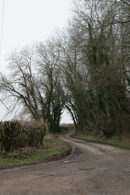
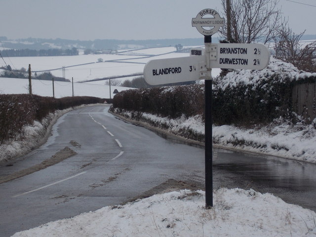
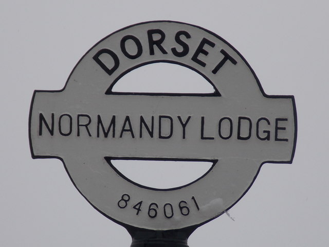
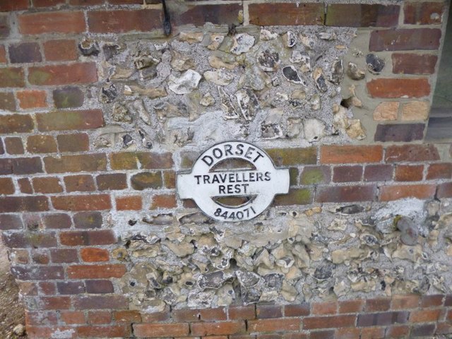
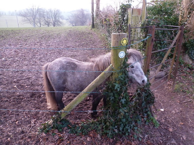
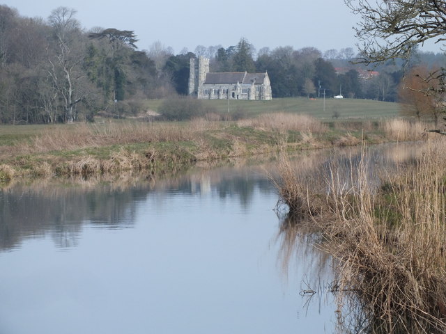
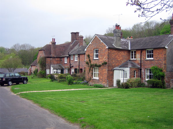
Quarleston Images

Images are sourced within 2km of 50.851121/-2.2012526 or Grid Reference ST8505. Thanks to Geograph Open Source API. All images are credited.

New Road near Winterborne Stickland
Winterborne Stickland: downhill from Normandy Lodge Looking down the road which has come from Bryanston and Blandford, as it heads down into the village of Winterborne Stickland.

The finger-post has in recent years been fitted with a traditional style Dorset roundel giving location and grid reference. See <a href="https://www.geograph.org.uk/photo/5710890">ST8406 : Winterborne Stickland: detail of Normandy Lodge finger-post</a> for a close-up.
Winterborne Stickland: downhill from Normandy Lodge
Looking down the road which has come from Bryanston and Blandford, as it heads down into the village of Winterborne Stickland. The finger-post has in recent years been fitted with a traditional style Dorset roundel giving location and grid reference. See ST8406 : Winterborne Stickland: detail of Normandy Lodge finger-post for a close-up.
Winterborne Stickland: detail of Normandy Lodge finger-post A closer look at the traditional Dorset roundel on the signpost at this junction between Winterborne Stickland and Blandford. The six digits at the bottom are the grid reference.


See <a href="https://www.geograph.org.uk/photo/5710885">ST8406 : Winterborne Stickland: downhill from Normandy Lodge</a> for the wider view.
Winterborne Stickland: detail of Normandy Lodge finger-post
A closer look at the traditional Dorset roundel on the signpost at this junction between Winterborne Stickland and Blandford. The six digits at the bottom are the grid reference. See ST8406 : Winterborne Stickland: downhill from Normandy Lodge for the wider view.
Old Direction Sign - Signpost by Traveller's Rest, Milton Lane, Durweston parish Finial only - no arms; Dorset halo with NGR by the UC road, in parish of Durweston (North Dorset District), Traveller's Rest, Milton Lane, attached to wall of long barn facing road.

Surveyed

Milestone Society National ID: DO_ST8407B
Old Direction Sign - Signpost by Traveller's Rest, Milton Lane, Durweston parish
Finial only - no arms; Dorset halo with NGR by the UC road, in parish of Durweston (North Dorset District), Traveller's Rest, Milton Lane, attached to wall of long barn facing road. Surveyed Milestone Society National ID: DO_ST8407B
Fodder Field at Blackfern Plantation This field of growing rootcrops was being used to feed cattle just visible at the far end of the field. This crop appears to be stubble turnips which are grazed in situ. One narrow strip of the crop is exposed each day and the herd works its way across the field.
Fodder Field at Blackfern Plantation
This field of growing rootcrops was being used to feed cattle just visible at the far end of the field. This crop appears to be stubble turnips which are grazed in situ. One narrow strip of the crop is exposed each day and the herd works its way across the field.
Track into Broadley Wood Although this is a well used vehicle track into the woods there is a metal gate barring the way and a sign saying

Sporting rights reserved
No Public Right of Way
Track into Broadley Wood
Although this is a well used vehicle track into the woods there is a metal gate barring the way and a sign saying Sporting rights reserved No Public Right of Way
Pasture Land at Quarleston Down These large pasture fields are on New Road a country lane that runs from Bryanston to Winterborne Stickland. In the background are the trees of Old Warren Plantation part of which is in <a href="https://www.geograph.org.uk/gridref/ST8605">ST8605</a>.
Pasture Land at Quarleston Down
These large pasture fields are on New Road a country lane that runs from Bryanston to Winterborne Stickland. In the background are the trees of Old Warren Plantation part of which is in ST8605.
Houses at Forum View This block of these Victorian redbrick cottages stand above the River Stour with a theoretical view of Blandford Forum on the other side of the valley. little can be seen because of other houses and trees on the opposite side of the road.
Houses at Forum View
This block of these Victorian redbrick cottages stand above the River Stour with a theoretical view of Blandford Forum on the other side of the valley. little can be seen because of other houses and trees on the opposite side of the road.
Fields at Bryanston View south west across the square from the very north east corner of the grid square where the approach road to Bryanston from Blandford just clips the corner. The furthest away dark line of bushes marks the line of Fairmile Rd which runs across the middle of the square.
Fields at Bryanston
View south west across the square from the very north east corner of the grid square where the approach road to Bryanston from Blandford just clips the corner. The furthest away dark line of bushes marks the line of Fairmile Rd which runs across the middle of the square.
Field near Blandford Forum This recently planted field of wheat is just off the A354 Blandford to Puddletown road.The small copse of trees on the horizon is known as "B" Plantation.
Field near Blandford Forum
This recently planted field of wheat is just off the A354 Blandford to Puddletown road.The small copse of trees on the horizon is known as "B" Plantation.
Bryanston: St Martin's Church View southward of the Church for Bryanston School - [where I attended as a pupil, 1940-44].
Bryanston: St Martin's Church
View southward of the Church for Bryanston School - [where I attended as a pupil, 1940-44].
Durweston, farmyard At Traveller's Rest.
Durweston, farmyard
At Traveller's Rest.
Bryanston: pony and phone box A red telephone box stands just away from the road, but enough to appear rather out of place. A pony takes a break from munching on some hay to say hello.
Bryanston: pony and phone box
A red telephone box stands just away from the road, but enough to appear rather out of place. A pony takes a break from munching on some hay to say hello.
Bryanston: a pony and a kissing gate The public footpath ahead just leads further along the lane through the village, cutting off the corner that motorised traffic has to take.
Bryanston: a pony and a kissing gate
The public footpath ahead just leads further along the lane through the village, cutting off the corner that motorised traffic has to take.
St Martins Church, Bryanston The church used to be the parish church for Bryanston but when the parish was amalgamated with Durweston it was bought by Bryanston School for their services. The picture is taken across the River Stour from Ham Meadows.
St Martins Church, Bryanston
The church used to be the parish church for Bryanston but when the parish was amalgamated with Durweston it was bought by Bryanston School for their services. The picture is taken across the River Stour from Ham Meadows.
On the verges of Fair Mile Road
Pasture land at Old Warren Old Warren is one of the Crown Estates.
Pasture land at Old Warren
Old Warren is one of the Crown Estates.
Portman Chapel, Bryanston: August 2013
Show me another place!

Quarleston is located at Grid Ref: ST8505 (Lat: 50.851121, Lng: -2.2012526)

Unitary Authority: Dorset

Police Authority: Dorset

What 3 Words

///town.grumbles.dwarf. Near Blandford Forum, Dorset

Related Wikis

Bryanston

Bryanston is a village and civil parish in north Dorset, England, situated on the River Stour 1 mile (1.5 kilometres) west of Blandford Forum. In the...

The Coade Hall

The Coade Hall is a brick-built theatre and concert hall at Bryanston School, near Blandford Forum in Dorset, England. == History == It was opened on...

Bryanston School

Bryanston School is a public school (English private boarding and day school for pupils aged 13–18) located next to the village of Bryanston, and near...

The Blandford School

The Blandford School is a coeducational secondary school located in Blandford Forum in the English county of Dorset.It is a voluntary controlled school...

A354 road

The A354 is a primary route in England which runs from Salisbury in Wiltshire to Easton on the Isle of Portland in Dorset, a total distance of 51 miles...

Blandford St Mary

Blandford St Mary is a village and civil parish in the North Dorset district of Dorset, England. The village is on the south bank of the River Stour, immediately...

Blandford Forum

Blandford Forum ( BLAN-fərd) is a market town in Dorset, England, by the River Stour 13 miles (21 kilometres) northwest of Poole. It had a population of...

Blandford Forum Town Hall

Blandford Forum Town Hall is a municipal building in the Market Place in Blandford Forum, Dorset, England. The 18th-century structure, which was the meeting...
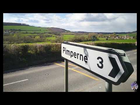
Related Videos

WALKS IN DORSET at STOURPAINE & HOD HILL (IRON AGE HILL FORT) [4K]

This is another video in my series “Walks in Dorset” accompanied by my Whippet (Logan). In this episode I am at Stourpaine – a ...

Autumn tree colours at Blandford meadows nature reserve, North Dorset

I went for a relaxing walk on Saturday afternoon and it stayed dry so I could take in the autumn colours in the trees at Blandford ...

Nearby Amenities

Located within 500m of 50.851121,-2.2012526
Material: wood
Power: pole
Source: bing
Lat/Long: 50.8469683/-2.2004719
Material: wood
Power: pole
Source: bing
Lat/Long: 50.8475923/-2.2006887
Material: wood
Power: pole
Source: bing
Lat/Long: 50.8499109/-2.2018348
Material: wood
Power: pole
Source: bing
Transformer: distribution
Lat/Long: 50.8512359/-2.2023693
Material: wood
Power: pole
Source: bing
Lat/Long: 50.8519394/-2.2032822
Material: wood
Power: pole
Source: bing
Lat/Long: 50.8523694/-2.2042181
Material: wood
Power: pole
Source: bing
Lat/Long: 50.8528128/-2.2051183
Material: wood
Power: pole
Source: bing
Lat/Long: 50.8532523/-2.2060503
Material: wood
Power: pole
Source: bing
Lat/Long: 50.8536997/-2.2069364
Power: pole
Source: bing
Lat/Long: 50.8490581/-2.2014646
Power: pole
Source: bing
Lat/Long: 50.8482622/-2.2009
The data included in this document is from www.openstreetmap.org. The data is made available under ODbL.

Have you been to Quarleston?

Leave your review of Quarleston below (or comments, questions and feedback).