Maryburgh

Settlement in Ross-shire

Scotland

Maryburgh

Woodland Walk We were geocaching here and it is a lovely walk.  We were bitten by midges though.  Further north the midge won't be around for a couple more weeks yet.
Woodland Walk Credit: Dorcas Sinclair

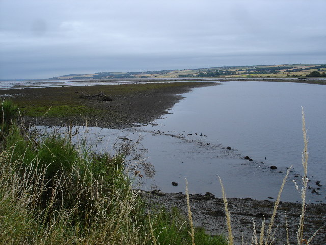
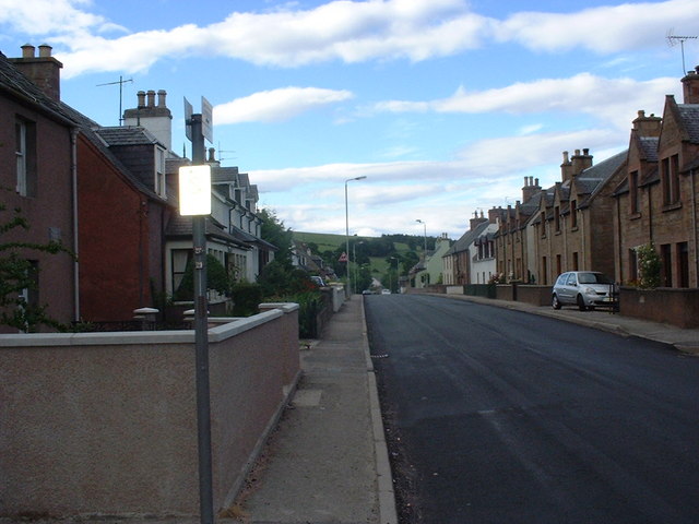
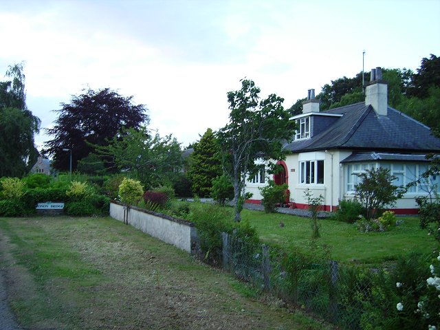
Maryburgh is a small village located in Ross-shire, Scotland. Situated just 4 miles west of the town of Dingwall, it lies on the southern banks of the River Conon, offering picturesque views of the surrounding countryside.

With a population of around 1,200 residents, Maryburgh is known for its close-knit community and friendly atmosphere. The village has a range of amenities, including a primary school, a post office, a convenience store, and a community hall. The primary school, Maryburgh Primary, serves the local children and is well-regarded for its nurturing environment.

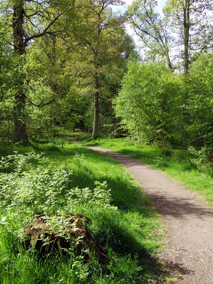
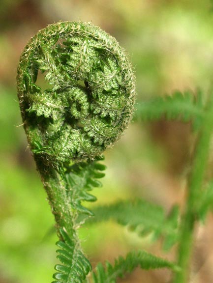
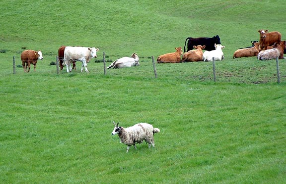
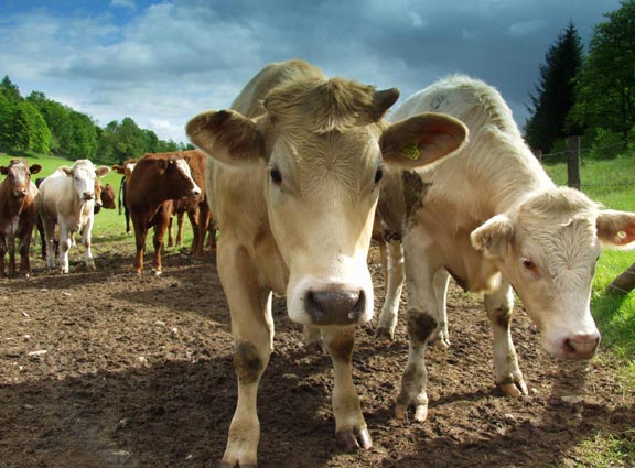
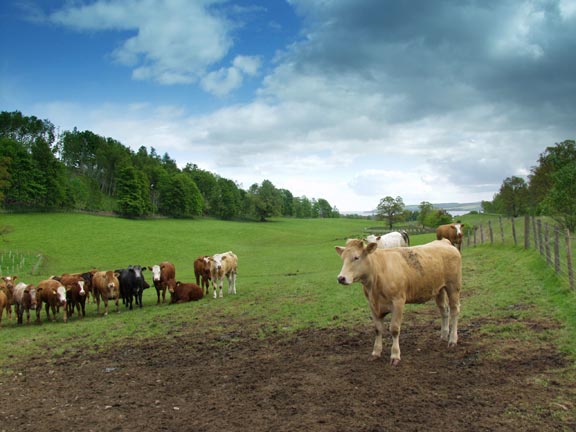
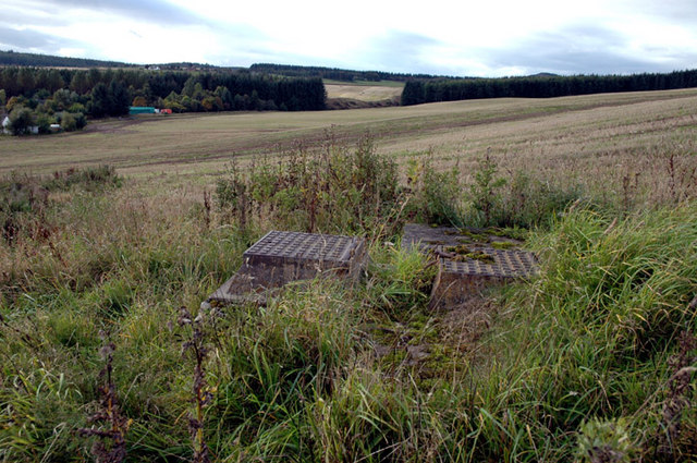
The village is surrounded by beautiful natural landscapes, making it an ideal location for outdoor enthusiasts. The nearby Ben Wyvis mountain range provides ample opportunities for hiking and climbing, while the River Conon is a popular spot for fishing and canoeing. The area also boasts several walking and cycling trails, allowing visitors to explore the stunning Scottish countryside.

In terms of transportation, Maryburgh is well-connected to the rest of Ross-shire. The A835 road runs through the village, providing easy access to nearby towns and cities. Additionally, the nearby Dingwall railway station offers regular train services to Inverness and other major Scottish cities.

Overall, Maryburgh offers a peaceful and picturesque setting, with a strong sense of community and a range of outdoor activities for residents and visitors to enjoy.

If you have any feedback on the listing, please let us know in the comments section below.
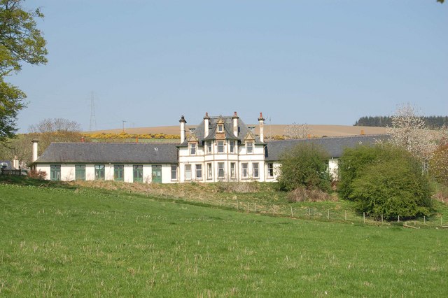
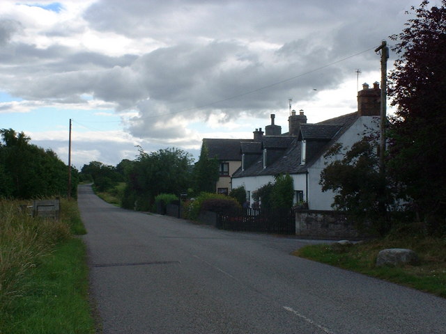
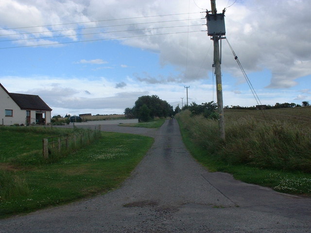
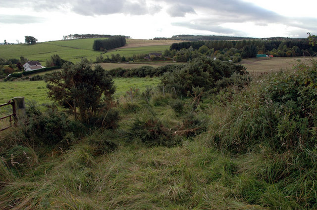
Maryburgh Images

Images are sourced within 2km of 57.57504/-4.442779 or Grid Reference NH5456. Thanks to Geograph Open Source API. All images are credited.

Woodland Walk We were geocaching here and it is a lovely walk.  We were bitten by midges though.  Further north the midge won't be around for a couple more weeks yet.
Woodland Walk
We were geocaching here and it is a lovely walk. We were bitten by midges though. Further north the midge won't be around for a couple more weeks yet.
Uncurling fern I love seeing the ferns when they are uncurling - they remind me of ammonites.
Uncurling fern
I love seeing the ferns when they are uncurling - they remind me of ammonites.
Jacob Sheep This area had a lot of good, clean pasture.  Jacob sheep are not a common sight in this area.
Jacob Sheep
This area had a lot of good, clean pasture. Jacob sheep are not a common sight in this area.
Cows I went to take a photograph of the view and thought it would be nice to have some cows in the foreground.  I ended up taking photographs of cows!
Cows
I went to take a photograph of the view and thought it would be nice to have some cows in the foreground. I ended up taking photographs of cows!
Looking toward the Cromarty Firth After doing a geocache in the area we found some very inquisitive cows.
Looking toward the Cromarty Firth
After doing a geocache in the area we found some very inquisitive cows.
Cromarty Firth on Dingwall signed walk The Black Isle across the firth.
Cromarty Firth on Dingwall signed walk
The Black Isle across the firth.
Dingwall Auction Market The market in the centre of Dingwall was relocated to the outskirts.
Dingwall Auction Market
The market in the centre of Dingwall was relocated to the outskirts.
Dingwall Auction Market from Car Park
Penning area Dingwall Auction Mart These sold penned cattle.
Penning area Dingwall Auction Mart
These sold penned cattle.
Seaforth House, Maryburgh Seaforth House overlooks the village of Maryburgh near Dingwall. It was built in 1907 by the Earl of Cromarty. It has been a sanatorium, an auxiliary hospital, a children’s home and a training centre.  It is now a charitable non-profit making nursing and respite care home.
Seaforth House, Maryburgh
Seaforth House overlooks the village of Maryburgh near Dingwall. It was built in 1907 by the Earl of Cromarty. It has been a sanatorium, an auxiliary hospital, a children’s home and a training centre. It is now a charitable non-profit making nursing and respite care home.
Dun Eidin house and entrance to Alcaig farm
Corntown Brae
Corntown Brae
Corntown House
Corntown House
Conon-Bridge Hotel
Conon-Bridge Hotel
Proby Street, Maryburgh
Conon Bridge Houses on the southern edge of the village.
Conon Bridge
Houses on the southern edge of the village.
Old reservoir Below Somerby Farm, Loch Ussie
Old reservoir
Below Somerby Farm, Loch Ussie
Overgrown farm track, near Bogbain Above Loch Ussie road
Overgrown farm track, near Bogbain
Above Loch Ussie road
Show me another place!

Maryburgh is located at Grid Ref: NH5456 (Lat: 57.57504, Lng: -4.442779)

Unitary Authority: Highland

Police Authority: Highlands and Islands

What 3 Words

///twisty.thumb.tingled. Near Conon Bridge, Highland

Related Wikis

Maryburgh

Maryburgh (Scottish Gaelic: Baile Màiri) is a village in the Highland council area of Scotland, 2 miles (3.2 km) south of Dingwall. It is situated on the...
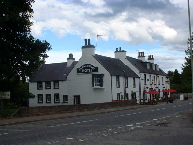
Conon Bridge

Conon Bridge (Scottish Gaelic: Drochaid Sguideil, pronounced [ˈt̪ɾɔxɪtʲ ˈs̪kutʲal]) is a village in the Highland region of Scotland. The current Gaelic...

Conon Bridge railway station

Conon Bridge is a railway station on the Far North and Kyle of Lochalsh Lines, which serves the villages of Conon Bridge and Maryburgh in the Scottish...
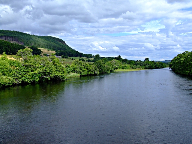
River Conon

The River Conon (Scottish Gaelic: Conann) is a river in the Highlands of Scotland. It begins at Loch Luichart, and flows in a south-easterly direction...

Nearby Amenities

Located within 500m of 57.57504,-4.442779
Created By: almien_coastlines
Source: PGS
Lat/Long: 57.573222/-4.435222
Source: PGS
Lat/Long: 57.5730399/-4.435732
Source: PGS
Lat/Long: 57.5728498/-4.436261
Source: PGS
Lat/Long: 57.5731143/-4.4371853
Source: PGS
Lat/Long: 57.5733796/-4.4366032
Created By: almien_coastlines
Source: PGS
Lat/Long: 57.573597/-4.435951
Source: PGS
Lat/Long: 57.5736379/-4.4353393
Source: PGS
Lat/Long: 57.5709069/-4.4396116
Created By: almien_coastlines
Source: PGS
Lat/Long: 57.571382/-4.439439
Created By: almien_coastlines
Source: PGS
Lat/Long: 57.571899/-4.438983
Created By: almien_coastlines
Source: PGS
Lat/Long: 57.572161/-4.438516
Source: PGS
Lat/Long: 57.5724698/-4.4381879
Created By: almien_coastlines
Source: PGS
Lat/Long: 57.572808/-4.437826
Source: PGS
Lat/Long: 57.5729392/-4.436623
Source: PGS
Lat/Long: 57.5728247/-4.4368623
Source: PGS
Lat/Long: 57.5723029/-4.4376407
Source: PGS
Lat/Long: 57.5714696/-4.4385714
Source: PGS
Lat/Long: 57.5713884/-4.438536
Maryburgh
Name En: Maryburgh
Name Gd: Baile Mairi
Place: village
Population: 1090
Wikidata: Q6781159
Wikipedia: en:Maryburgh
Lat/Long: 57.5754918/-4.4411342
Post Box
Collection Times: Mo-Fr 17:00; Sa 10:00
Operator: Royal Mail
Post Box Type: pillar
Ref: IV7 20
Royal Cypher: scottish_crown
Source: survey
Lat/Long: 57.5744192/-4.4411159
Bus Stop
Maryburgh Village
Naptan AtcoCode: 6700712966A
Naptan Bearing: S
Naptan CommonName: Maryburgh Village
Naptan Indicator: opp Post Office
Naptan Landmark: Post Office
Naptan NaptanCode: 45323497
Naptan Street: A862
Naptan Verified: no
Shelter: no
Source: naptan_import
Lat/Long: 57.5750226/-4.4394708
Bus Stop
Maryburgh Village
Naptan AtcoCode: 6700712966B
Naptan Bearing: N
Naptan CommonName: Maryburgh Village
Naptan Indicator: o/s Post Office
Naptan Landmark: Post Office
Naptan NaptanCode: 45323496
Naptan Street: A862
Naptan Verified: no
Source: naptan_import
Lat/Long: 57.5749729/-4.4397184
Bus Stop
Hood Street
Naptan AtcoCode: 670080074
Naptan Bearing: S
Naptan CommonName: Hood Street
Naptan Indicator: opp
Naptan Landmark: Hood Street
Naptan NaptanCode: 45323523
Naptan Street: Priory Street
Naptan Verified: no
Source: naptan_import
Lat/Long: 57.5771205/-4.43926
Bus Stop
Hood Street
Local Ref: AT
Naptan AtcoCode: 670080075
Naptan Bearing: N
Naptan CommonName: Hood Street
Naptan Indicator: at
Naptan Landmark: Roundabout
Naptan NaptanCode: 45323498
Naptan Street: Priory Street
Naptan Verified: no
Source: naptan_import
Lat/Long: 57.577005/-4.4396537
Maryburgh War Memorial
Historic: memorial
Memorial: war_memorial
Lat/Long: 57.5772348/-4.4396179
Turning Circle
Lat/Long: 57.5784559/-4.4376694
Design: barrel
Power: tower
Lat/Long: 57.5738637/-4.448929
Parking
Source: Bing
Lat/Long: 57.5757864/-4.4489884
Power: tower
Lat/Long: 57.5741008/-4.4480325
Bus Stop
Lat/Long: 57.5776363/-4.4394733
Power: tower
Lat/Long: 57.5770048/-4.4459487
Brahan Estate Information
Information: guidepost
Tourism: information
Lat/Long: 57.5776201/-4.4394933
Crossing Barrier: full
Railway: level_crossing
Lat/Long: 57.5742369/-4.4393582
Traffic Calming: chicane
Lat/Long: 57.5713298/-4.4411041
Traffic Calming: choker
Lat/Long: 57.5738992/-4.4400933
Operator: Scottish Hydro Electric Power Distribution
Power: substation
Lat/Long: 57.5750171/-4.4440126
Power: pole
Lat/Long: 57.5743908/-4.4354121
Power: pole
Lat/Long: 57.5748809/-4.4361211
Power: pole
Lat/Long: 57.5753709/-4.4368542
Power: pole
Lat/Long: 57.5757925/-4.4374764
Power: pole
Lat/Long: 57.5773662/-4.4466986
Power: pole
Lat/Long: 57.5777142/-4.4483054
The data included in this document is from www.openstreetmap.org. The data is made available under ODbL.

Have you been to Maryburgh?

Leave your review of Maryburgh below (or comments, questions and feedback).