Garrie Island

Island in Ross-shire

Scotland

Garrie Island

Jacob Sheep This area had a lot of good, clean pasture.  Jacob sheep are not a common sight in this area.
Jacob Sheep Credit: Dorcas Sinclair

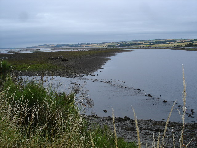
Garrie Island is a small, uninhabited island located off the west coast of Ross-shire, Scotland. Situated in the Inner Sound, it is part of the Inner Hebrides archipelago. The island is approximately 1.5 miles long and 0.5 miles wide, with an area of around 187 acres.

Garrie Island is characterized by rugged and rocky terrain, with steep cliffs rising from the shoreline. The coastline is indented with numerous small sea caves and stacks, providing a stunning natural beauty. The island is predominantly covered in heather, grasses, and low-lying shrubs, creating a picturesque landscape.

The island is a haven for birdlife, with nesting colonies of seabirds including guillemots, razorbills, and puffins. These seabirds take advantage of the sheltered cliffs and caves for breeding and feeding. The island is also a feeding ground for various marine species, such as seals and dolphins, making it an excellent spot for wildlife enthusiasts.

Access to Garrie Island is challenging due to its remote location and lack of regular transportation. Visitors typically reach the island by private boat or organized tours. Although there are no facilities or amenities on the island, its untouched and unspoiled nature appeals to those seeking a serene and off-the-beaten-path experience.

Garrie Island offers breathtaking views of the surrounding sea and mainland Scotland. Its isolation and natural beauty make it a popular destination for birdwatching, photography, and exploring the rugged Scottish coastline.

If you have any feedback on the listing, please let us know in the comments section below.

Garrie Island Images

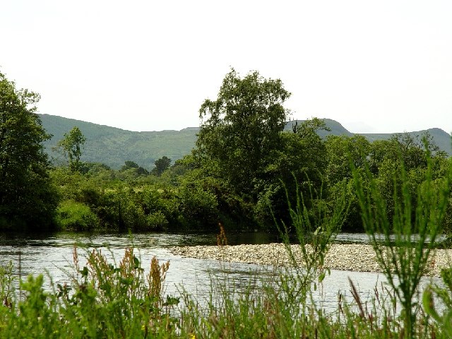
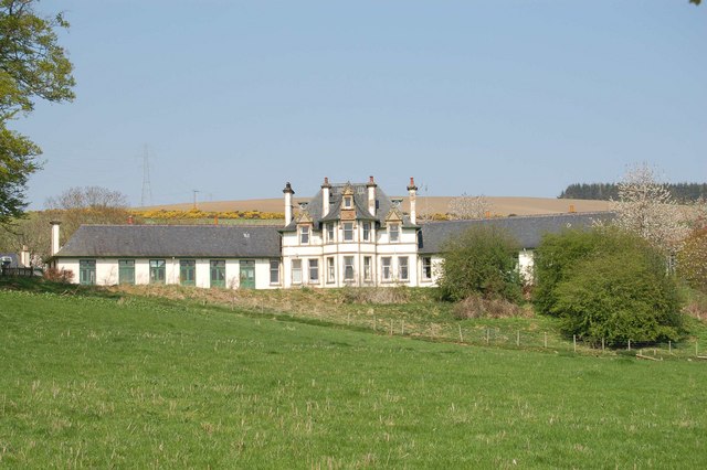
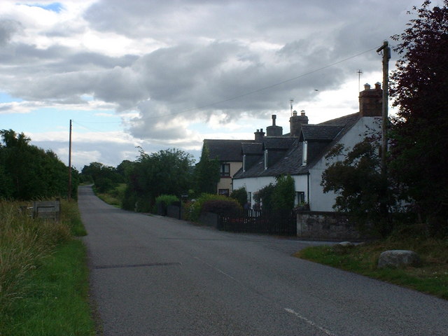
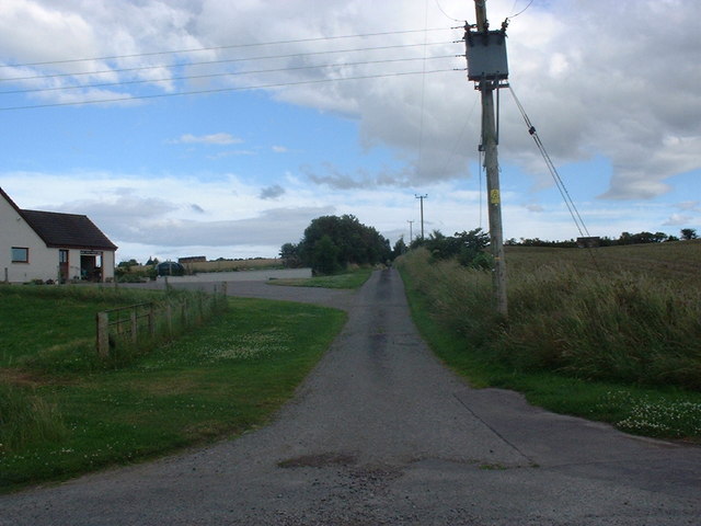
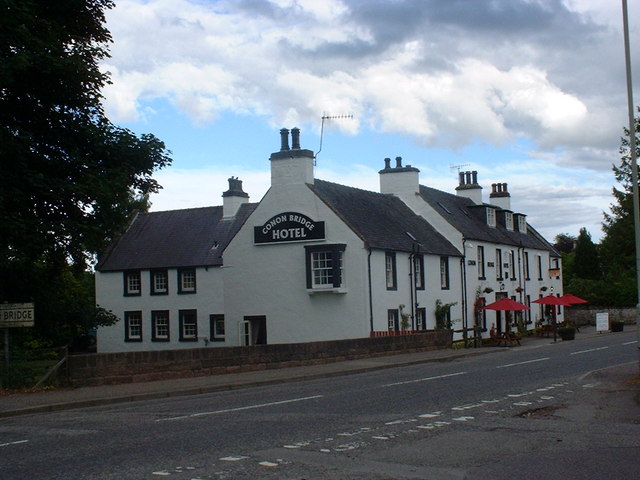
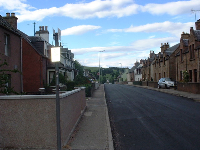
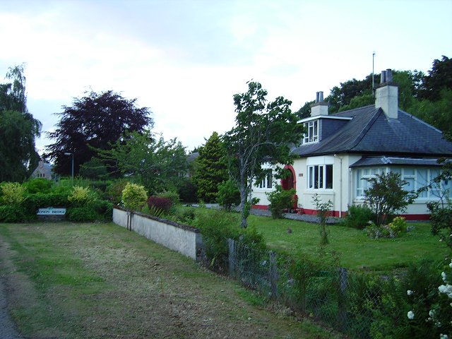
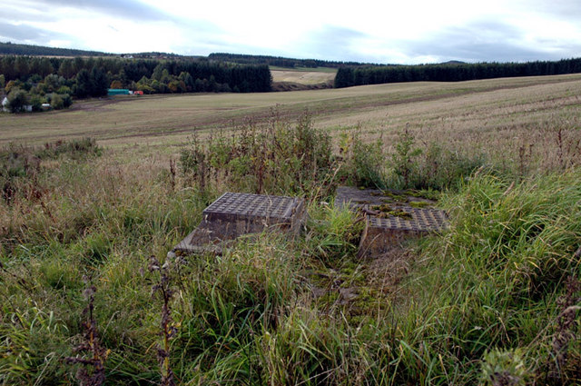
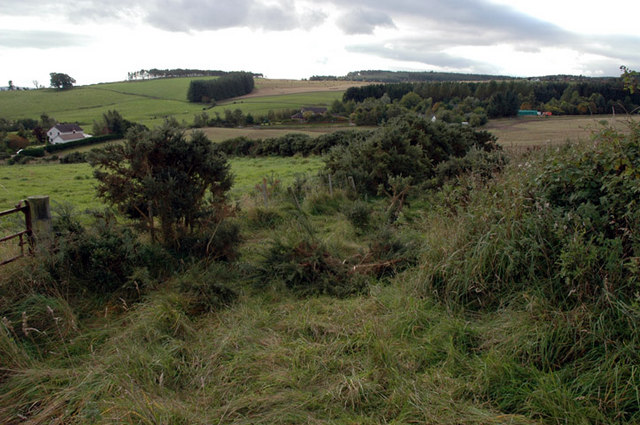
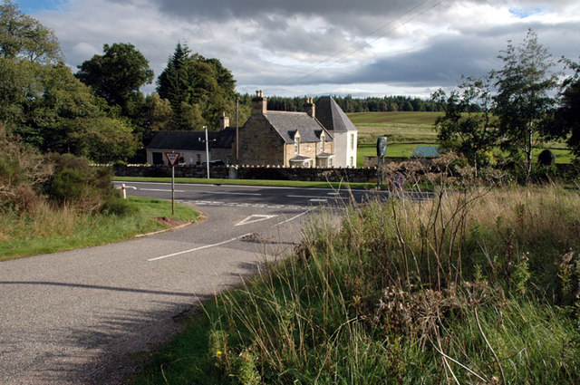
Images are sourced within 2km of 57.572096/-4.4355621 or Grid Reference NH5456. Thanks to Geograph Open Source API. All images are credited.

Jacob Sheep This area had a lot of good, clean pasture.  Jacob sheep are not a common sight in this area.
Jacob Sheep
This area had a lot of good, clean pasture. Jacob sheep are not a common sight in this area.
Cows I went to take a photograph of the view and thought it would be nice to have some cows in the foreground.  I ended up taking photographs of cows!
Cows
I went to take a photograph of the view and thought it would be nice to have some cows in the foreground. I ended up taking photographs of cows!
Looking toward the Cromarty Firth After doing a geocache in the area we found some very inquisitive cows.
Looking toward the Cromarty Firth
After doing a geocache in the area we found some very inquisitive cows.
Cromarty Firth on Dingwall signed walk The Black Isle across the firth.
Cromarty Firth on Dingwall signed walk
The Black Isle across the firth.
Dingwall Auction Market The market in the centre of Dingwall was relocated to the outskirts.
Dingwall Auction Market
The market in the centre of Dingwall was relocated to the outskirts.
Dingwall Auction Market from Car Park
Conon River Photograph of the River Conon taken south of the weir - Between Dunglass Island and the Schoolhouse belt.
Conon River
Photograph of the River Conon taken south of the weir - Between Dunglass Island and the Schoolhouse belt.
Penning area Dingwall Auction Mart These sold penned cattle.
Penning area Dingwall Auction Mart
These sold penned cattle.
Seaforth House, Maryburgh Seaforth House overlooks the village of Maryburgh near Dingwall. It was built in 1907 by the Earl of Cromarty. It has been a sanatorium, an auxiliary hospital, a children’s home and a training centre.  It is now a charitable non-profit making nursing and respite care home.
Seaforth House, Maryburgh
Seaforth House overlooks the village of Maryburgh near Dingwall. It was built in 1907 by the Earl of Cromarty. It has been a sanatorium, an auxiliary hospital, a children’s home and a training centre. It is now a charitable non-profit making nursing and respite care home.
Dun Eidin house and entrance to Alcaig farm
Corntown Brae
Corntown Brae
Corntown House
Corntown House
Conon-Bridge Hotel
Conon-Bridge Hotel
Proby Street, Maryburgh
Conon Bridge Houses on the southern edge of the village.
Conon Bridge
Houses on the southern edge of the village.
Old reservoir Below Somerby Farm, Loch Ussie
Old reservoir
Below Somerby Farm, Loch Ussie
Overgrown farm track, near Bogbain Above Loch Ussie road
Overgrown farm track, near Bogbain
Above Loch Ussie road
Corner of A835 road From the Knockfarrel road
Corner of A835 road
From the Knockfarrel road
Show me another place!

Garrie Island is located at Grid Ref: NH5456 (Lat: 57.572096, Lng: -4.4355621)

Unitary Authority: Highland

Police Authority: Highlands and Islands

What 3 Words

///regime.sneezing.blemishes. Near Conon Bridge, Highland

Related Wikis

Maryburgh

Maryburgh (Scottish Gaelic: Baile Màiri) is a village in the Highland council area of Scotland, 2 miles (3.2 km) south of Dingwall. It is situated on the...

Conon Bridge

Conon Bridge (Scottish Gaelic: Drochaid Sguideil, pronounced [ˈt̪ɾɔxɪtʲ ˈs̪kutʲal]) is a village in the Highland region of Scotland. The current Gaelic...

Conon Bridge railway station

Conon Bridge is a railway station on the Far North and Kyle of Lochalsh Lines, which serves the villages of Conon Bridge and Maryburgh in the Scottish...
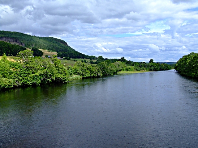
River Conon

The River Conon (Scottish Gaelic: Conann) is a river in the Highlands of Scotland. It begins at Loch Luichart, and flows in a south-easterly direction...

Nearby Amenities

Located within 500m of 57.572096,-4.4355621
Source: PGS
Lat/Long: 57.5734842/-4.4327764
Source: PGS
Lat/Long: 57.5734311/-4.4340594
Created By: almien_coastlines
Source: PGS
Lat/Long: 57.573222/-4.435222
Source: PGS
Lat/Long: 57.5730399/-4.435732
Source: PGS
Lat/Long: 57.5728498/-4.436261
Source: PGS
Lat/Long: 57.5731143/-4.4371853
Source: PGS
Lat/Long: 57.5733796/-4.4366032
Created By: almien_coastlines
Source: PGS
Lat/Long: 57.573597/-4.435951
Source: PGS
Lat/Long: 57.5736379/-4.4353393
Created By: almien_coastlines
Source: PGS
Lat/Long: 57.57388/-4.433579
Source: PGS
Lat/Long: 57.5739955/-4.4327279
Source: PGS
Lat/Long: 57.5740692/-4.4317106
Source: PGS
Lat/Long: 57.5741415/-4.4309626
Source: PGS
Lat/Long: 57.5741817/-4.4301181
Source: PGS
Lat/Long: 57.5738793/-4.4289066
Source: PGS
Lat/Long: 57.5737879/-4.4291684
Source: PGS
Lat/Long: 57.5736908/-4.4294883
Source: PGS
Lat/Long: 57.5735363/-4.4300971
Source: PGS
Lat/Long: 57.5734171/-4.4308079
Source: PGS
Lat/Long: 57.5732462/-4.4312757
Source: PGS
Lat/Long: 57.5693907/-4.4417484
Created By: almien_coastlines
Source: PGS
Lat/Long: 57.569569/-4.441273
Created By: almien_coastlines
Source: PGS
Lat/Long: 57.56983/-4.440807
Source: PGS
Lat/Long: 57.570163/-4.4403583
Source: PGS
Lat/Long: 57.5709069/-4.4396116
Created By: almien_coastlines
Source: PGS
Lat/Long: 57.571382/-4.439439
Created By: almien_coastlines
Source: PGS
Lat/Long: 57.571899/-4.438983
Created By: almien_coastlines
Source: PGS
Lat/Long: 57.572161/-4.438516
Source: PGS
Lat/Long: 57.5724698/-4.4381879
Created By: almien_coastlines
Source: PGS
Lat/Long: 57.572808/-4.437826
Source: PGS
Lat/Long: 57.5729392/-4.436623
Source: PGS
Lat/Long: 57.5728247/-4.4368623
Source: PGS
Lat/Long: 57.5723029/-4.4376407
Source: PGS
Lat/Long: 57.5714696/-4.4385714
Source: PGS
Lat/Long: 57.5713884/-4.438536
Source: PGS
Lat/Long: 57.5705309/-4.4382216
Source: PGS
Lat/Long: 57.5702651/-4.4385192
Source: PGS
Lat/Long: 57.5699265/-4.4391386
Created By: almien_coastlines
Source: PGS
Lat/Long: 57.569715/-4.43961
Source: PGS
Lat/Long: 57.5694831/-4.4399239
Source: PGS
Lat/Long: 57.5690579/-4.4406452
Post Box
Collection Times: Mo-Fr 17:00; Sa 10:00
Operator: Royal Mail
Post Box Type: pillar
Ref: IV7 20
Royal Cypher: scottish_crown
Source: survey
Lat/Long: 57.5744192/-4.4411159
Parking
Parking: layby
Lat/Long: 57.5712594/-4.428375
Bus Stop
Maryburgh Village
Naptan AtcoCode: 6700712966A
Naptan Bearing: S
Naptan CommonName: Maryburgh Village
Naptan Indicator: opp Post Office
Naptan Landmark: Post Office
Naptan NaptanCode: 45323497
Naptan Street: A862
Naptan Verified: no
Shelter: no
Source: naptan_import
Lat/Long: 57.5750226/-4.4394708
Bus Stop
Maryburgh Village
Naptan AtcoCode: 6700712966B
Naptan Bearing: N
Naptan CommonName: Maryburgh Village
Naptan Indicator: o/s Post Office
Naptan Landmark: Post Office
Naptan NaptanCode: 45323496
Naptan Street: A862
Naptan Verified: no
Source: naptan_import
Lat/Long: 57.5749729/-4.4397184
Bus Stop
Wrightfield Park
Naptan AtcoCode: 670080076
Naptan Bearing: S
Naptan CommonName: Wrightfield Park
Naptan Indicator: opp
Naptan Landmark: River Conon
Naptan NaptanCode: 45323495
Naptan Street: A862
Naptan Verified: no
Shelter: yes
Source: naptan_import
Lat/Long: 57.5703703/-4.4416681
Bus Stop
Wrightfield Park
Bench: yes
Local Ref: AT
Naptan AtcoCode: 670080077
Naptan Bearing: N
Naptan CommonName: Wrightfield Park
Naptan Indicator: at
Naptan Landmark: River Conon
Naptan NaptanCode: 45323494
Naptan Street: A862
Naptan Verified: no
Shelter: yes
Source: naptan_import
Lat/Long: 57.5698859/-4.4420872
Turning Circle
Lat/Long: 57.5697774/-4.4287362
Turning Circle
Lat/Long: 57.5689421/-4.4301556
Parking
Lat/Long: 57.5676222/-4.434853
Power: pole
Lat/Long: 57.57169/-4.4285516
Power: pole
Lat/Long: 57.5687856/-4.4347161
Power: pole
Lat/Long: 57.5692589/-4.4338229
Power: pole
Lat/Long: 57.5697004/-4.4329888
Power: pole
Lat/Long: 57.5701607/-4.4321358
Power: pole
Lat/Long: 57.5727886/-4.4273132
Power: pole
Lat/Long: 57.5725182/-4.4281447
Power: pole
Lat/Long: 57.5733408/-4.4277424
Crossing Barrier: full
Railway: level_crossing
Lat/Long: 57.5742369/-4.4393582
Building: yes
Source: bing
Lat/Long: 57.5687796/-4.4300301
Power: pole
Lat/Long: 57.5721835/-4.4273067
Power: pole
Lat/Long: 57.5709176/-4.4278226
Traffic Calming: chicane
Lat/Long: 57.5713298/-4.4411041
Traffic Calming: choker
Lat/Long: 57.5738992/-4.4400933
Power: pole
Lat/Long: 57.5707789/-4.4325591
Power: pole
Lat/Long: 57.5713466/-4.4329232
Power: pole
Lat/Long: 57.5719311/-4.4333091
Power: pole
Lat/Long: 57.5724691/-4.4336733
Power: pole
Lat/Long: 57.5732166/-4.4341773
Power: pole
Lat/Long: 57.5738166/-4.4345728
Power: pole
Lat/Long: 57.5743908/-4.4354121
Power: pole
Lat/Long: 57.5748809/-4.4361211
Power: pole
Lat/Long: 57.5753709/-4.4368542
Power: pole
Lat/Long: 57.5757925/-4.4374764
The data included in this document is from www.openstreetmap.org. The data is made available under ODbL.

Have you been to Garrie Island?

Leave your review of Garrie Island below (or comments, questions and feedback).