Marybank
Settlement in Ross-shire
Scotland
Marybank
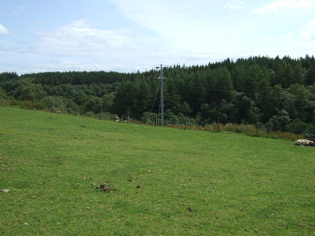
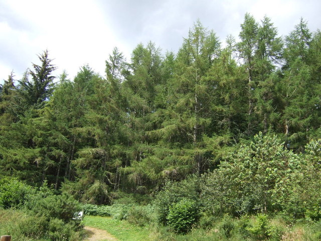
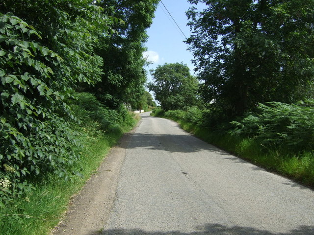
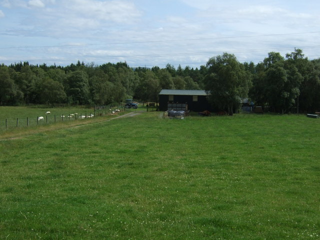
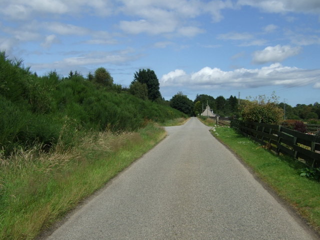
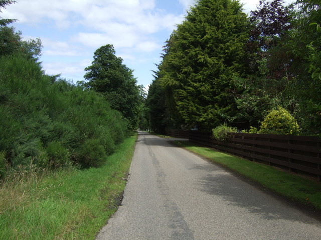
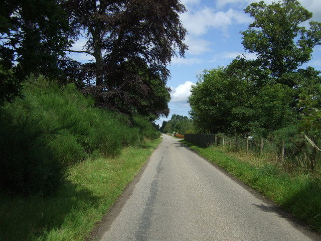
Marybank is a small village located in the county of Ross-shire, in the Highlands of Scotland. Situated near the A835 road, it lies approximately 12 miles northwest of the town of Dingwall and 20 miles west of Inverness, the region's capital. The village is nestled within a picturesque rural setting, surrounded by rolling hills, verdant landscapes, and the scenic beauty of the Scottish Highlands.
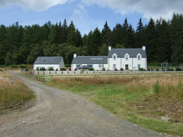
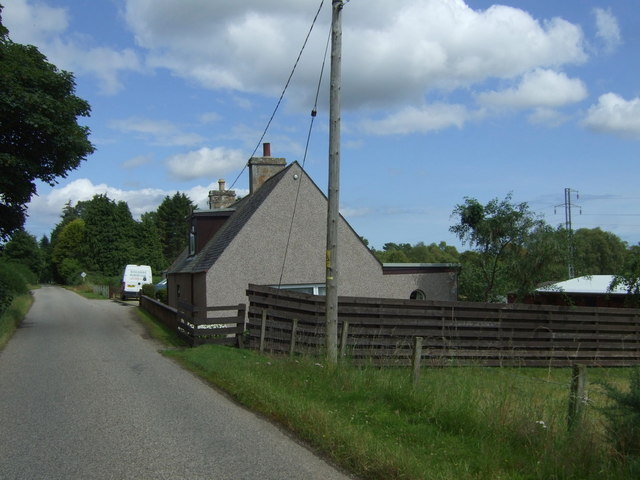
Marybank is a close-knit community with a population of around 500 residents. It boasts a tranquil and peaceful atmosphere, making it an ideal place for those seeking a quieter lifestyle away from the hustle and bustle of city living. The village is predominantly residential, with a mix of traditional stone cottages and newer houses.
Though small, Marybank is well-serviced by amenities essential for daily living. It has a primary school, offering education to local children, and a village hall that serves as a hub for community gatherings and events. There is also a local convenience store that provides basic necessities for residents.
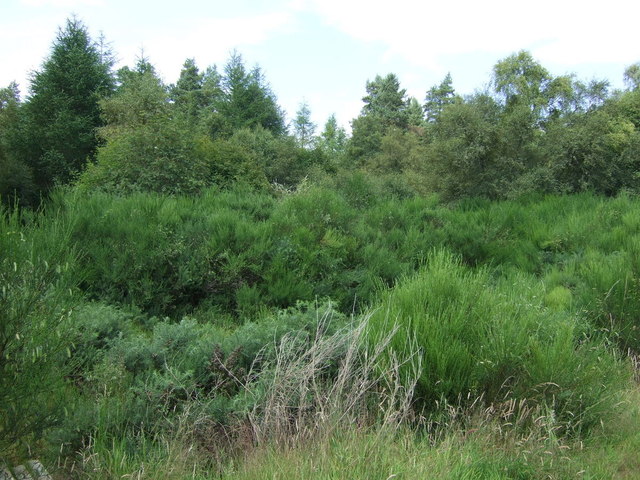
The village's location within the Scottish Highlands offers ample opportunities for outdoor activities and exploration. The surrounding area is known for its breathtaking scenery, with nearby forests, lochs, and hills perfect for hiking, cycling, and wildlife spotting. Marybank's proximity to Inverness also allows residents to easily access a wider range of amenities, including shopping centers, healthcare facilities, and cultural attractions.
Overall, Marybank offers a tranquil and scenic living environment, making it an attractive choice for those seeking a close community in the heart of the Scottish Highlands.
If you have any feedback on the listing, please let us know in the comments section below.
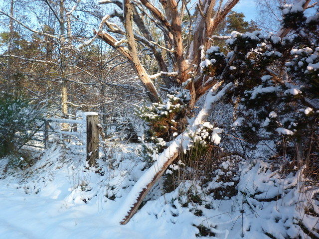
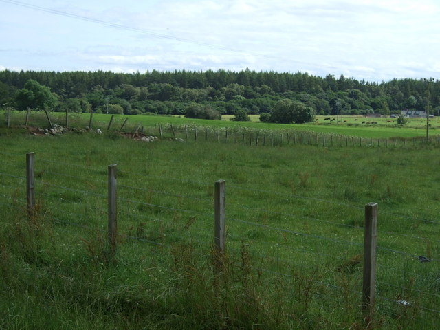
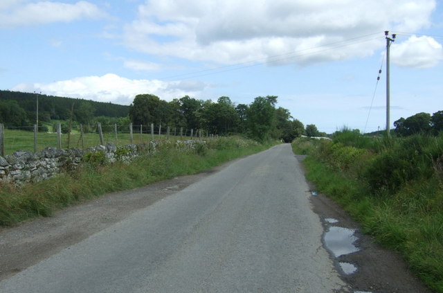
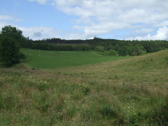
Marybank Images
Images are sourced within 2km of 57.755948/-4.119074 or Grid Reference NH7476. Thanks to Geograph Open Source API. All images are credited.


Marybank is located at Grid Ref: NH7476 (Lat: 57.755948, Lng: -4.119074)
Unitary Authority: Highland
Police Authority: Highlands and Islands
What 3 Words
///light.guests.howler. Near Tain, Highland
Related Wikis

Lamington, Highland
Lamington is a village, which sits in the southern edges of the Morangie forest in Eastern Ross-shire, Scottish Highlands and is in the Scottish council...

Balnagown Castle
Balnagown Castle (also Balnagowan)(Ross Castle) is beside the village of Kildary in Easter Ross, part of the Highland area of Scotland. There has been...
Kildary railway station
Kildary railway station served the village of Kildary, Highland, Scotland from 1864 to 1960 on the Inverness and Ross-shire Railway. == History == The...
Kildary
Kildary (Scottish Gaelic: Caoldaraigh) is a small village in Easter Ross, Ross and Cromarty, Highland, Scotland.The village is located on the Balnagown...
Nearby Amenities
Located within 500m of 57.755948,-4.119074Have you been to Marybank?
Leave your review of Marybank below (or comments, questions and feedback).