Marybank

Settlement in Ross-shire

Scotland

Marybank

Track by Aultgowrie Lodge A track into the Fairburn Estate, on the north side of the River Orrin.
The lodge, gate piers and gates are Category B listed. <span class="nowrap"><a title="https://portal.historicenvironment.scot/designation/LB14032" rel="nofollow ugc noopener" href="https://portal.historicenvironment.scot/designation/LB14032">Link</a><img style="margin-left:2px;" alt="External link" title="External link - shift click to open in new window" src="https://s1.geograph.org.uk/img/external.png" width="10" height="10"/></span>
Track by Aultgowrie Lodge Credit: Craig Wallace

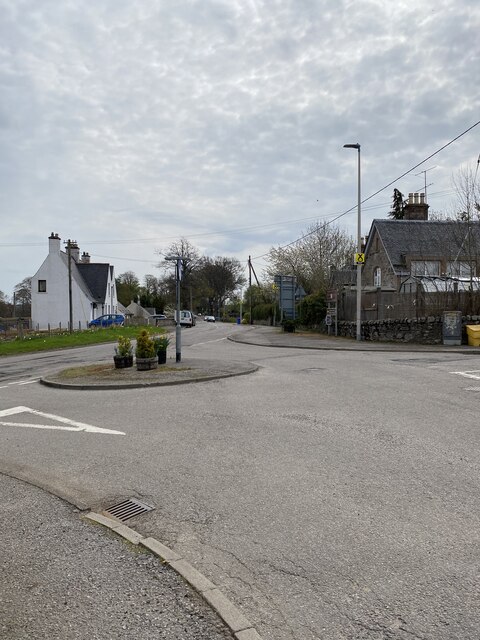
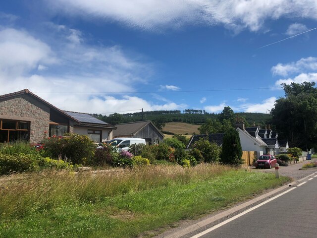
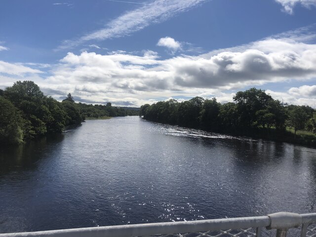
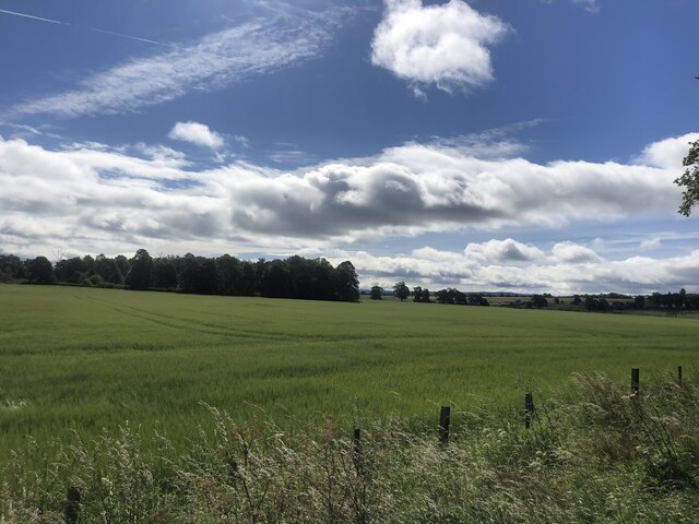
Marybank is a charming village located in the Ross-shire region of the Scottish Highlands. Situated near the banks of the River Conon, it is nestled amidst picturesque countryside and offers stunning views of the surrounding hills and valleys. The village is approximately 13 miles northwest of Inverness, making it easily accessible for both residents and visitors.

Despite its small size, Marybank is known for its close-knit community and friendly atmosphere. The village is home to a population of around 500 people, who enjoy a peaceful and tranquil way of life. The local economy primarily revolves around agriculture, with farming and livestock playing a significant role in the area.

Marybank boasts a range of amenities for its residents, including a primary school, a community hall, and a local shop. The village also has a pub, where locals and visitors can socialize and enjoy traditional Scottish hospitality. Outdoor enthusiasts have plenty to explore in the surrounding area, with numerous walking and cycling trails providing a chance to discover the natural beauty of the Highlands.

The nearby town of Dingwall offers additional services, such as supermarkets, healthcare facilities, and secondary schools. With its convenient location, residents of Marybank can easily access these amenities within a short drive.

Overall, Marybank is a tranquil and picturesque village in the heart of the Scottish Highlands, offering a peaceful lifestyle and a strong sense of community. It provides a perfect retreat for those who seek a slower pace of life amidst stunning natural surroundings.

If you have any feedback on the listing, please let us know in the comments section below.
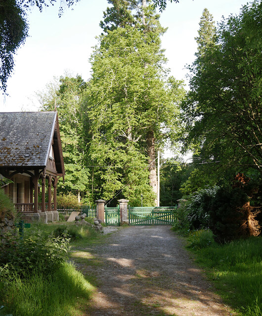
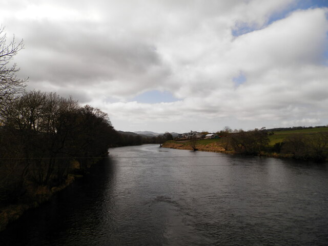
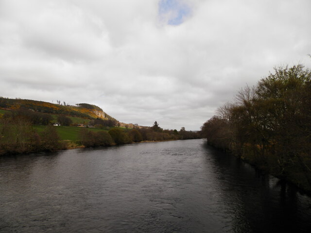
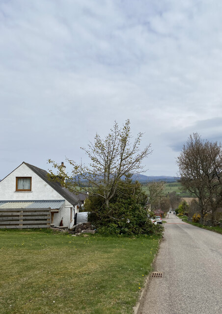
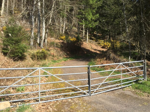
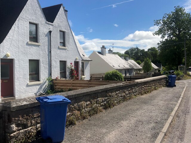
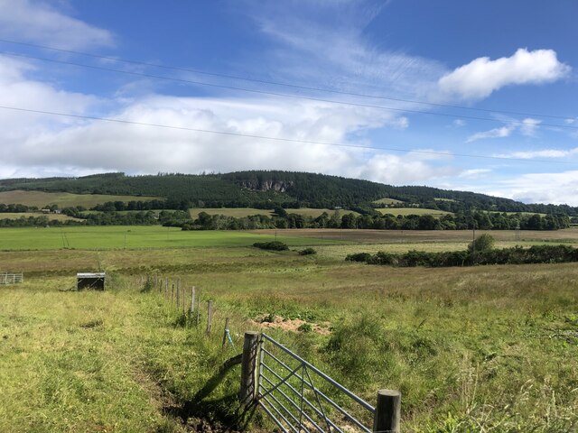
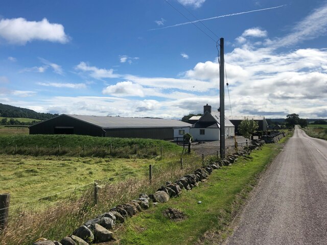
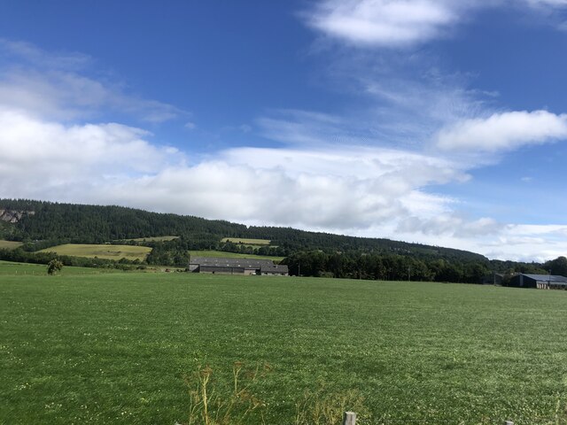
Marybank Images

Images are sourced within 2km of 57.546602/-4.540054 or Grid Reference NH4853. Thanks to Geograph Open Source API. All images are credited.

Track by Aultgowrie Lodge A track into the Fairburn Estate, on the north side of the River Orrin.
The lodge, gate piers and gates are Category B listed. <span class="nowrap"><a title="https://portal.historicenvironment.scot/designation/LB14032" rel="nofollow ugc noopener" href="https://portal.historicenvironment.scot/designation/LB14032">Link</a><img style="margin-left:2px;" alt="External link" title="External link - shift click to open in new window" src="https://s1.geograph.org.uk/img/external.png" width="10" height="10"/></span>
Track by Aultgowrie Lodge
A track into the Fairburn Estate, on the north side of the River Orrin. The lodge, gate piers and gates are Category B listed. LinkExternal link
River Conon from Moy Bridge
The Brae, Marybank
The Brae, Marybank
Flush Bracket OSBM G1718 - Marybank, former Post Office <span class="nowrap"><a title="https://www.bench-marks.org.uk/bm404" rel="nofollow ugc noopener" href="https://www.bench-marks.org.uk/bm404">Link</a><img style="margin-left:2px;" alt="External link" title="External link - shift click to open in new window" src="https://s1.geograph.org.uk/img/external.png" width="10" height="10"/></span>
Flush Bracket OSBM G1718 - Marybank, former Post Office
Location of Flush Bracket OSBM G1718 - Marybank, former Post Office
Mini roundabout, Marybank
A835 near Contin
A835 near Contin
Gated road near Moy Rock
Houses at Moy Bridge
River Conon at Moy Bridge The River Conon is Ross-shire’s premier salmon and sea-trout river
River Conon at Moy Bridge
The River Conon is Ross-shire’s premier salmon and sea-trout river
Farmland near Moy Bridge
Dustbin day at Marybank
Farmland near Marybank
A long straight road, A832
Farmland east of Marybank
Minor road near Strathfarrar Originating north of the Orrin bridge, this road run south of and roughly parallel with the A832 to Marybank.
Minor road near Strathfarrar
Originating north of the Orrin bridge, this road run south of and roughly parallel with the A832 to Marybank.
Farmland near Arcan Mains Looking north towards the River Conon this pasture appears to be planted with ryegrass for grazing or silage.
Farmland near Arcan Mains
Looking north towards the River Conon this pasture appears to be planted with ryegrass for grazing or silage.
Show me another place!

Marybank is located at Grid Ref: NH4853 (Lat: 57.546602, Lng: -4.540054)

Unitary Authority: Highland

Police Authority: Highlands and Islands

What 3 Words

///conceals.emails.snowy. Near Strathpeffer, Highland

Nearby Locations

Marybank Arcan Muir

Related Wikis

Marybank

Marybank is a small village in Ross-shire, Scottish Highlands and is in the Scottish council area of Highland. The village of Muir of Ord lies 3 miles...

Black Water (Conon)

The Black Water (Scottish Gaelic: An t-Alltan Dubh) is a river in the Highlands of Scotland. It begins at the confluence of the Glascarnoch River with...

Fairburn Tower

Fairburn Tower is a recently restored Scottish castle near Inverness and Muir of Ord in the parish of Urray. The tower house on a hill above the River...

Falls of Orrin

Falls of Orrin is a waterfall on the River Orrin, in the Highlands of Scotland. == See also == Waterfalls of Scotland == References ==

Nearby Amenities

Located within 500m of 57.546602,-4.540054
Post Box
Collection Times: Mo-Fr 12:15; Sa 12:15
Operator: Royal Mail
Post Box Type: lamp
Ref: IV4 169
Royal Cypher: scottish_crown
Source: survey
Lat/Long: 57.5478113/-4.5415974
Marybank
Name En: Marybank
Name Gd: Bruach Màiri
Not Name Gd: An Lagaidh
Place: village
Source: survey
Lat/Long: 57.5470738/-4.538572
Bus Stop
Marybank
Naptan AtcoCode: 6700712965A
Naptan Bearing: E
Naptan CommonName: Marybank
Naptan Indicator: opp Post Office
Naptan Landmark: Post Office
Naptan NaptanCode: 45323985
Naptan Street: A832
Naptan Verified: no
Source: naptan_import
Lat/Long: 57.5478161/-4.5395257
Bus Stop
Marybank
Naptan AtcoCode: 6700712965B
Naptan Bearing: W
Naptan CommonName: Marybank
Naptan Indicator: o/s Post Office
Naptan Landmark: Post Office
Naptan NaptanCode: 45323984
Naptan Street: A832
Naptan Verified: no
Source: naptan_import
Lat/Long: 57.5476432/-4.5396307
Recycling
Source: survey
Lat/Long: 57.5475289/-4.5342436
Entrance: main
Lat/Long: 57.5474971/-4.5397981
Stop
Direction: forward
Lat/Long: 57.5476817/-4.539894
Give Way
Direction: forward
Lat/Long: 57.5477719/-4.539787
Power: pole
Lat/Long: 57.5498308/-4.5419025
Power: pole
Lat/Long: 57.5497588/-4.5410416
Power: pole
Lat/Long: 57.5496854/-4.5401993
Power: pole
Lat/Long: 57.5493486/-4.5456255
Power: pole
Lat/Long: 57.5488737/-4.5448691
Power: pole
Lat/Long: 57.5484016/-4.5441556
Power: pole
Lat/Long: 57.5487528/-4.5417845
Power: pole
Lat/Long: 57.5491097/-4.5425516
Power: pole
Lat/Long: 57.548298/-4.5393384
Power: pole
Lat/Long: 57.5484937/-4.5387214
Power: pole
Lat/Long: 57.5487787/-4.5378041
Power: pole
Lat/Long: 57.5490406/-4.5368922
Power: pole
Lat/Long: 57.5493659/-4.5358354
Power: pole
Lat/Long: 57.5492738/-4.5346767
Power: pole
Lat/Long: 57.5491702/-4.5333463
Power: pole
Lat/Long: 57.550451/-4.5362002
Power: pole
Lat/Long: 57.5505806/-4.5378846
Power: pole
Lat/Long: 57.5508483/-4.5417202
Noexit: yes
Lat/Long: 57.5468932/-4.5335346
Power: pole
Lat/Long: 57.5483717/-4.5431669
Power: pole
Lat/Long: 57.5483107/-4.5421563
Power: pole
Lat/Long: 57.5482171/-4.5410078
Power: pole
Lat/Long: 57.5482029/-4.540046
Power: pole
Lat/Long: 57.5471097/-4.5408069
Power: pole
Lat/Long: 57.5464041/-4.5408313
Power: pole
Lat/Long: 57.54573/-4.5408678
Power: pole
Lat/Long: 57.5450604/-4.5409307
Power: pole
Lat/Long: 57.5444244/-4.5410453
Power: pole
Lat/Long: 57.542845/-4.5374893
Power: pole
Lat/Long: 57.5427701/-4.5381889
Power: pole
Lat/Long: 57.5432322/-4.5388375
Power: pole
Lat/Long: 57.5436866/-4.539465
Power: pole
Lat/Long: 57.5440448/-4.540314
The data included in this document is from www.openstreetmap.org. The data is made available under ODbL.

Have you been to Marybank?

Leave your review of Marybank below (or comments, questions and feedback).