Marybank

Settlement in Ross-shire

Scotland

Marybank

Loch Beag Cnoc a' Choilich After a spell of dry weather, the lochs on Lewis were well below average level. The stony shoreline on the left shows where the average level would reach up to the green grass. At higher water, the loch would be up to or even above the top of this grassy strip. There is a small island on the left of the narrows in the background but in these conditions its island status had gone. For the angler the only decent water on this usually productive loch is along the shore on the right side of the photo.
Loch Beag Cnoc a' Choilich Credit: AlastairG

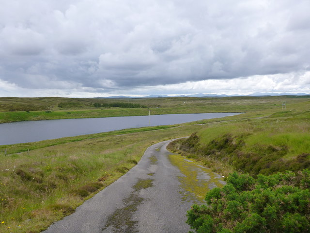
Marybank is a small village located in Ross-shire, Scotland. Situated near the eastern coast of the Highlands, it lies approximately 10 miles northwest of the town of Dingwall. The village is nestled amidst picturesque rolling hills and offers breathtaking views of the surrounding countryside.

With a population of around 500 residents, Marybank has a tight-knit community that prides itself on its friendly and welcoming atmosphere. The village is primarily residential, with a mix of traditional stone-built houses and more modern properties. The architecture reflects the area's rich history and rural charm.

A notable feature of Marybank is its close proximity to the Blackmuir Forest, which provides ample opportunities for outdoor activities such as hiking, cycling, and wildlife spotting. The forest is known for its diverse range of flora and fauna, making it a popular destination for nature enthusiasts.

Despite its small size, Marybank has a strong sense of community spirit. The village has a local pub, where residents often gather to socialize and enjoy a drink. Additionally, there is a community center that hosts various events and activities throughout the year, including art exhibitions, craft fairs, and local gatherings.

Although Marybank does not have its own school or medical facilities, it is well-connected to nearby towns and villages that provide these amenities. The village benefits from excellent transport links, with regular bus services connecting it to Dingwall and other nearby towns.

Overall, Marybank offers a tranquil and picturesque setting, making it an ideal place for those seeking a peaceful rural lifestyle while still being within reach of essential amenities.

If you have any feedback on the listing, please let us know in the comments section below.
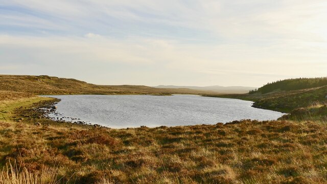
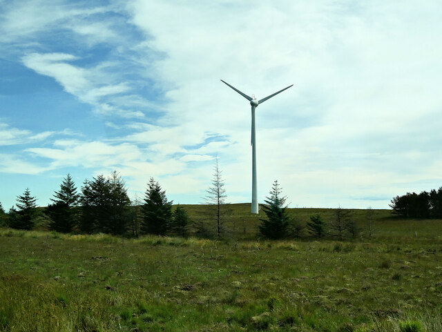
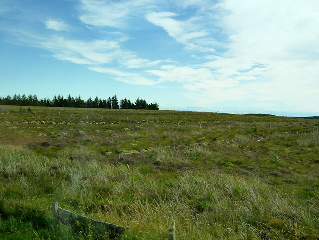
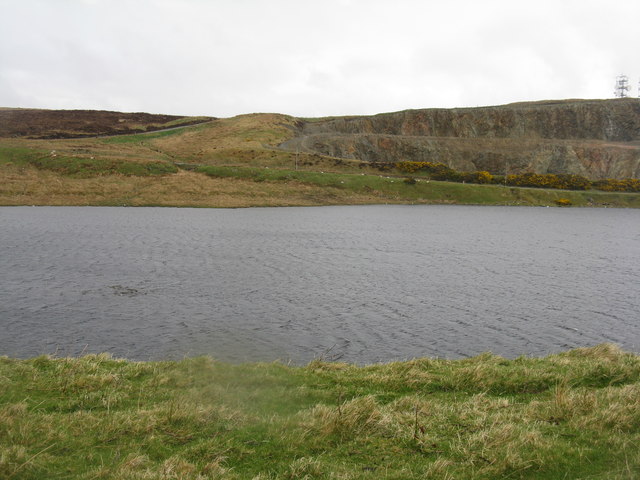
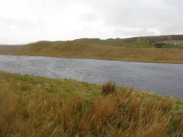
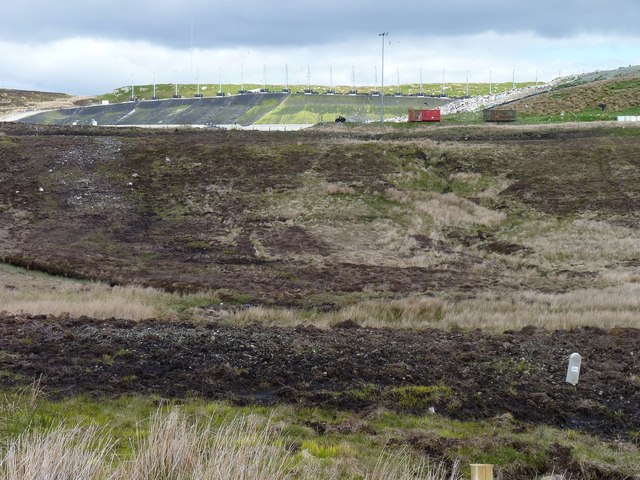
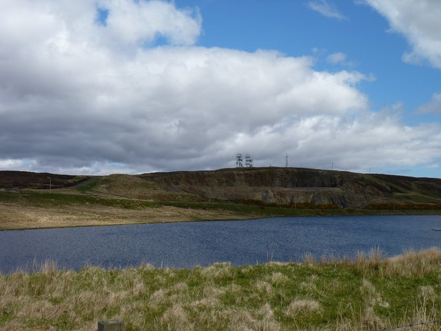
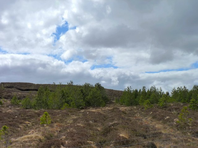
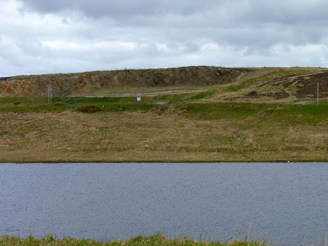
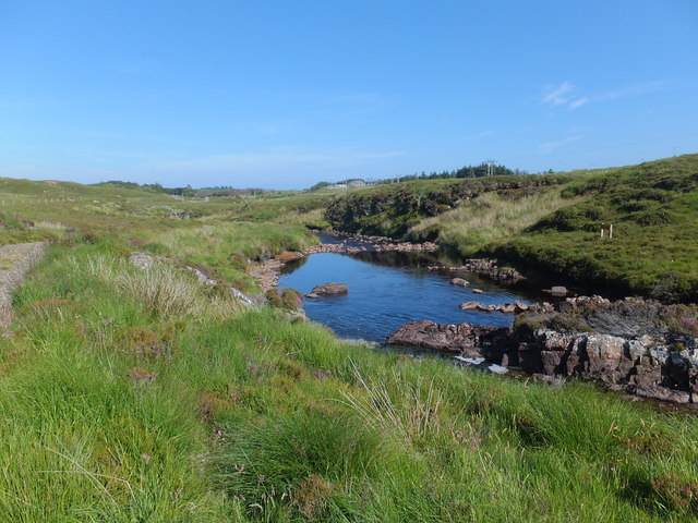
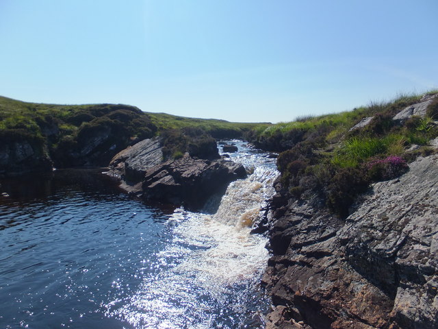
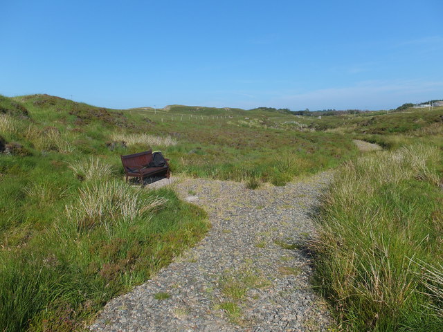
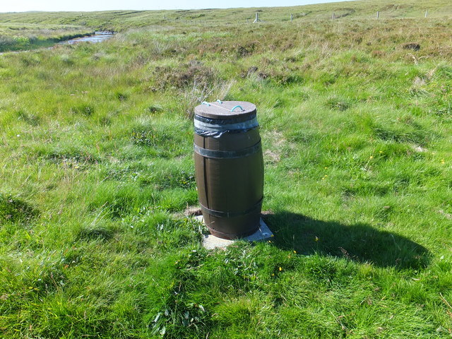
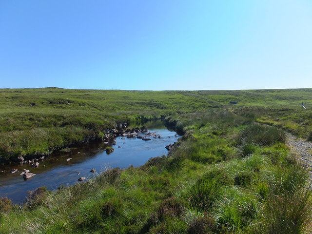
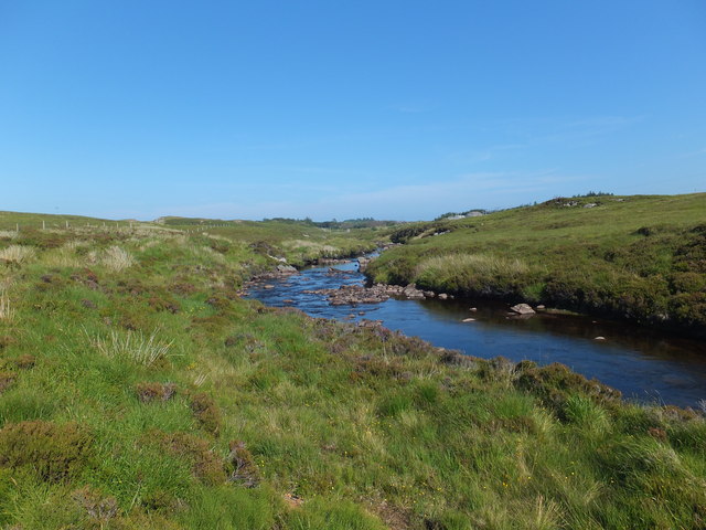
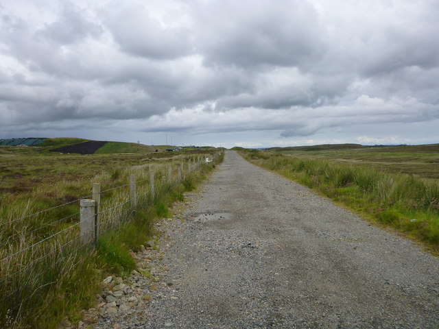
Marybank Images

Images are sourced within 2km of 58.208836/-6.4279495 or Grid Reference NB4033. Thanks to Geograph Open Source API. All images are credited.

Loch Beag Cnoc a' Choilich After a spell of dry weather, the lochs on Lewis were well below average level. The stony shoreline on the left shows where the average level would reach up to the green grass. At higher water, the loch would be up to or even above the top of this grassy strip. There is a small island on the left of the narrows in the background but in these conditions its island status had gone. For the angler the only decent water on this usually productive loch is along the shore on the right side of the photo.
Loch Beag Cnoc a' Choilich
After a spell of dry weather, the lochs on Lewis were well below average level. The stony shoreline on the left shows where the average level would reach up to the green grass. At higher water, the loch would be up to or even above the top of this grassy strip. There is a small island on the left of the narrows in the background but in these conditions its island status had gone. For the angler the only decent water on this usually productive loch is along the shore on the right side of the photo.
Wind Turbine near the Western Isles Recycling Centre
Moorland near Stornoway
Loch Àirigh na Lic With the remains of a crannog just breaking the water to the left, and a quarry across the water
Loch Àirigh na Lic
With the remains of a crannog just breaking the water to the left, and a quarry across the water
Loch Àirigh na Lic Looking west along Abhainn a' Ghlinn Mhòir.
Loch Àirigh na Lic
Looking west along Abhainn a' Ghlinn Mhòir.
Peaty roadside With a background of landfill in an abandoned quarry.
Peaty roadside
With a background of landfill in an abandoned quarry.
Southern shore of Loch Airigh na Lic With a quarry face and WT station beyond the loch.
Southern shore of Loch Airigh na Lic
With a quarry face and WT station beyond the loch.
Surviving trees Very few trees manage to survive on the moorland alongside the Pentland Road, but these are some of them.
Surviving trees
Very few trees manage to survive on the moorland alongside the Pentland Road, but these are some of them.
Quarry across the water The quarry on the north side of Loch Àirigh na Lic.
Quarry across the water
The quarry on the north side of Loch Àirigh na Lic.
The Falls Pool An artificial fishing pool on the Creed Water.
The Falls Pool
An artificial fishing pool on the Creed Water.
Small waterfall on the Creed Water The waterfall created as the river cuts across a harder rock, the cascade will help oxygenate the water.
Small waterfall on the Creed Water
The waterfall created as the river cuts across a harder rock, the cascade will help oxygenate the water.
Access path and a comfy seat The Creed Water is fished by the Stornoway Angling Association and the access track must make easier walking across the peat which line the sides of the river.
Access path and a comfy seat
The Creed Water is fished by the Stornoway Angling Association and the access track must make easier walking across the peat which line the sides of the river.
A herring barrel rubbish bucket The Stornoway Trust use these barrels as waste buckets on all the public paths and open spaces on the estate.
<span class="nowrap"><a title="http://www.stornowaytrust.org.uk/trust-history/trust-history.html" rel="nofollow ugc noopener" href="http://www.stornowaytrust.org.uk/trust-history/trust-history.html">Link</a><img style="margin-left:2px;" alt="External link" title="External link - shift click to open in new window" src="https://s1.geograph.org.uk/img/external.png" width="10" height="10"/></span>
A herring barrel rubbish bucket
The Stornoway Trust use these barrels as waste buckets on all the public paths and open spaces on the estate. LinkExternal link
Abhainn Ghrioda A fishing pool on the Creed Water.
Abhainn Ghrioda
A fishing pool on the Creed Water.
Creed Water looking downstream Section of the river with a clean rock base.
Creed Water looking downstream
Section of the river with a clean rock base.
Track beside the landfill site This track was improved when the Pentland Road Wind Farm was built.
<a href="https://www.geograph.org.uk/photo/1310126">NB3834 : Moorland Track & Fence</a>
Track beside the landfill site
This track was improved when the Pentland Road Wind Farm was built. NB3834 : Moorland Track & Fence
The road down from the WT Station The view over Loch Àirigh na Lic.
The road down from the WT Station
The view over Loch Àirigh na Lic.
Large heap of glass for recycling This stack would be cleared when there is enough to justify bringing a boat to collect it.
Large heap of glass for recycling
This stack would be cleared when there is enough to justify bringing a boat to collect it.
Show me another place!

Marybank is located at Grid Ref: NB4033 (Lat: 58.208836, Lng: -6.4279495)

Unitary Authority: Na h-Eileanan an Iar

Police Authority: Highlands and Islands

Also known as: Bruach Mairi

What 3 Words

///allies.repay.buying. Near Stornoway, Na h-Eileanan Siar

Nearby Locations

Marybank Bruach Mairi

Related Wikis

Marybank, Lewis

Marybank (Scottish Gaelic: Bruach Màiri, IPA:[ˈpɾuəxˈmaːɾʲɪ]) is a settlement on the outskirts of Stornoway, Isle of Lewis in the Outer Hebrides of Scotland...

Lews Castle College

UHI North, West, and Hebrides (formerly UHI Outer Hebrides and Lews Castle College) (Scottish Gaelic: Colaisde a' Chaisteil [ˈkʰɔl̪ˠɪʃtʲə ə ˈkʰaʃtʰal]...

Lews Castle

Lews Castle (Scottish Gaelic: Caisteal Leòdhais) is a Victorian era castle located west of the town of Stornoway, Isle of Lewis, Scotland. It was built...

Hebridean Celtic Festival

The Hebridean Celtic Festival (Scottish Gaelic: Fèis Cheilteach Innse Gall) or HebCelt is an international Scottish music festival, which takes place annually...

Nearby Amenities

Located within 500m of 58.208836,-6.4279495
Site of the old Lewis Chemical works 1851
Historic: yes
Lat/Long: 58.2069471/-6.423852
Power: pole
Lat/Long: 58.2122708/-6.4328183
Power: pole
Lat/Long: 58.21163/-6.4320941
Power: pole
Lat/Long: 58.2110712/-6.4314289
Power: pole
Lat/Long: 58.2105343/-6.4308254
Power: pole
Lat/Long: 58.2100214/-6.4302112
Power: pole
Lat/Long: 58.2096497/-6.4297687
Power: pole
Lat/Long: 58.2090231/-6.4290592
Power: pole
Lat/Long: 58.2084183/-6.4283578
Power: pole
Lat/Long: 58.2078495/-6.4276497
Power: pole
Lat/Long: 58.2072292/-6.4269564
Power: pole
Lat/Long: 58.2054931/-6.4249541
Power: pole
Lat/Long: 58.204855/-6.4242138
Power: pole
Lat/Long: 58.2067225/-6.4212049
Power: pole
Lat/Long: 58.2071305/-6.4211041
Power: pole
Lat/Long: 58.2076213/-6.42098
Power: pole
Lat/Long: 58.2085071/-6.4207686
Power: pole
Lat/Long: 58.2092815/-6.4205596
Power: pole
Lat/Long: 58.210337/-6.4203064
The data included in this document is from www.openstreetmap.org. The data is made available under ODbL.

Have you been to Marybank?

Leave your review of Marybank below (or comments, questions and feedback).