Pinkie
Settlement in Midlothian
Scotland
Pinkie
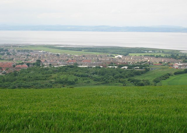
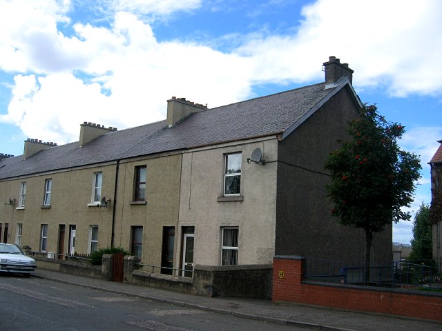
Pinkie is a small village located in Midlothian, Scotland. Situated approximately 8 miles east of the capital city of Edinburgh, it falls within the civil parish of Inveresk and Musselburgh. Pinkie is well-known for its rich history, picturesque landscapes, and close proximity to various amenities.
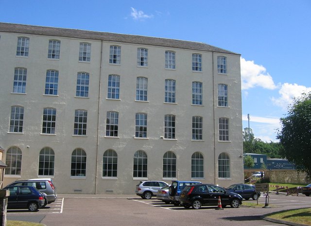
The village is named after Pinkie House, an elegant mansion that dates back to the 16th century. The house is an iconic landmark in the area and has served multiple purposes throughout its history, including a residence for noble families and a military hospital during World War II.
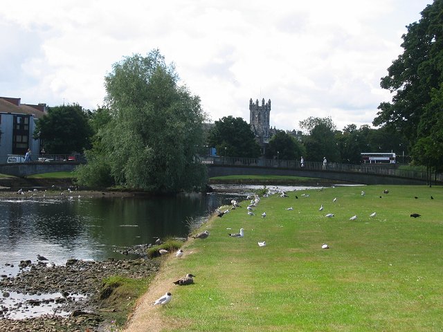
The surrounding area of Pinkie offers a range of recreational activities and attractions. Pinkie Playing Fields is a popular spot for outdoor activities such as football, rugby, and picnicking. Nearby Musselburgh Racecourse, one of Scotland's oldest horse racing venues, attracts visitors from far and wide.
Residents of Pinkie benefit from the village's convenient location. The nearby town of Musselburgh provides a variety of amenities, including shops, supermarkets, restaurants, and schools. The excellent transportation links, including regular bus services and a nearby train station, make commuting to Edinburgh and other surrounding areas straightforward.
Pinkie also boasts excellent educational facilities, with Pinkie St Peter's Primary School and Ross High School serving the local community. These schools have a strong reputation for academic excellence and provide a nurturing environment for students.
In summary, Pinkie is a charming village in Midlothian, Scotland, offering a blend of historical significance, natural beauty, and modern conveniences. Its close proximity to Edinburgh and its range of amenities make it an attractive place to live for both families and individuals.
If you have any feedback on the listing, please let us know in the comments section below.
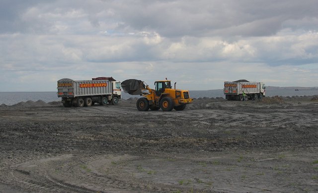
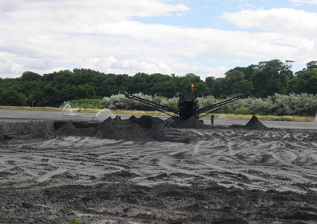
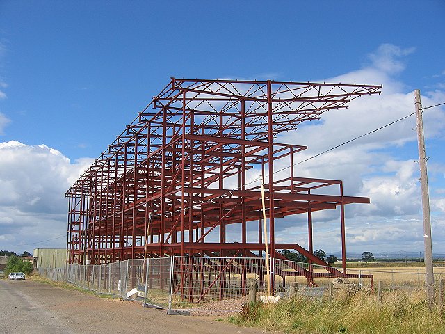
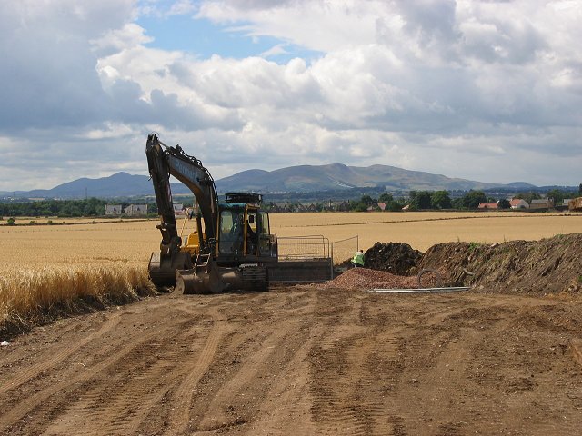
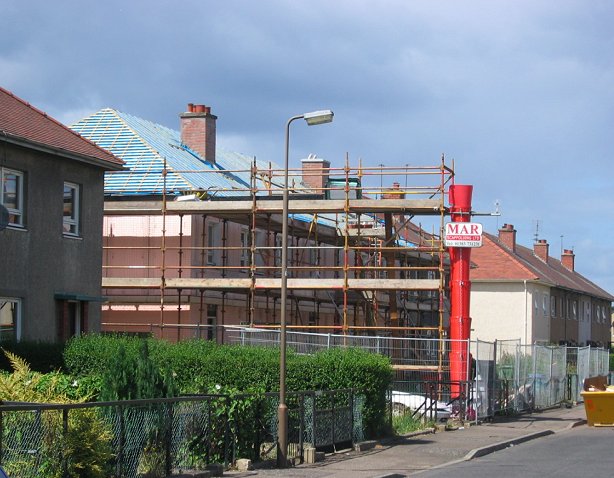
Pinkie Images
Images are sourced within 2km of 55.941261/-3.0366536 or Grid Reference NT3572. Thanks to Geograph Open Source API. All images are credited.
Pinkie is located at Grid Ref: NT3572 (Lat: 55.941261, Lng: -3.0366536)
Unitary Authority: East Lothian
Police Authority: The Lothians and Scottish Borders
What 3 Words
///teach.give.fact. Near Musselburgh, East Lothian
Nearby Locations
Related Wikis
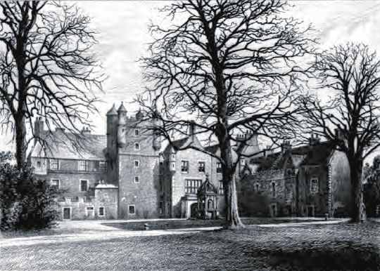
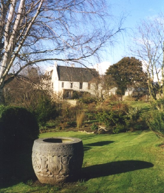
Pinkie House
Pinkie House is a historic house, built around a three-storey tower house located in Musselburgh, East Lothian, Scotland. The house dates from the 16th...
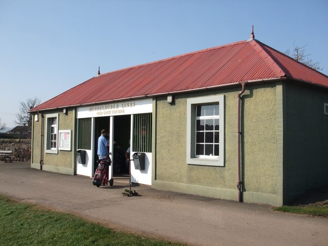
Musselburgh Links
Musselburgh Links, The Old Golf Course in Musselburgh, East Lothian, Scotland, is generally accepted as being one of the oldest golf courses in the world...

Musselburgh Racecourse
Musselburgh Racecourse is a horse racing venue located in the Millhill area of Musselburgh, East Lothian, Scotland, UK, close to the River Esk. It is the...
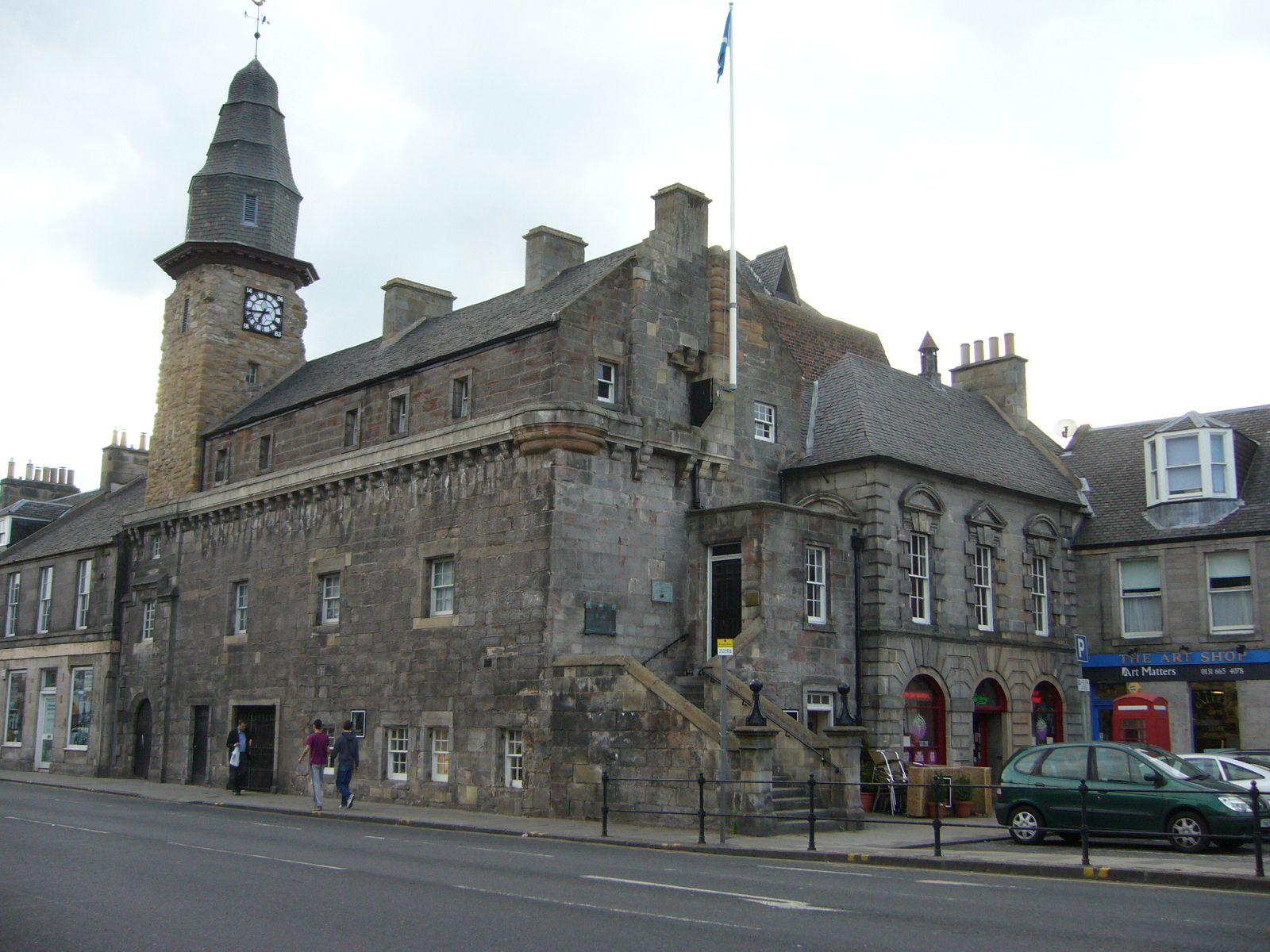
Musselburgh Tolbooth
Musselburgh Tolbooth is a municipal building in the High Street in Musselburgh, East Lothian, Scotland. The tolbooth, which was the headquarters of Musselburgh...
Related Videos

Sunday walking in Musselburgh, Lothian, Scotland
Slideshow of photos taken on Sunday 6 May 2018 in Musselburgh near Edinburgh, Scotland.

📍An afternoon walk in Musselburgh,Edinburgh.Scotland / Midyeler diyarı Musselburgh...
Musselburgh (/ˈmʌsəlbərə/; Scots: Musselburrae; Scottish Gaelic: Baile nam Feusgan)[3] is the largest settlement in East Lothian ...

A day well spent in Musselburgh,Edinburgh
Trying to capture beauty of Musselburgh, Scotland in autumn.

Nearby Amenities
Located within 500m of 55.941261,-3.0366536Have you been to Pinkie?
Leave your review of Pinkie below (or comments, questions and feedback).