Pinecrest
Settlement in Kincardineshire
Scotland
Pinecrest
Pinecrest is a small village located in the region of Kincardineshire, Scotland. Situated amidst lush green landscapes, it is nestled near the eastern coast of the country. With a population of approximately 500 residents, Pinecrest offers a tranquil and close-knit community atmosphere.
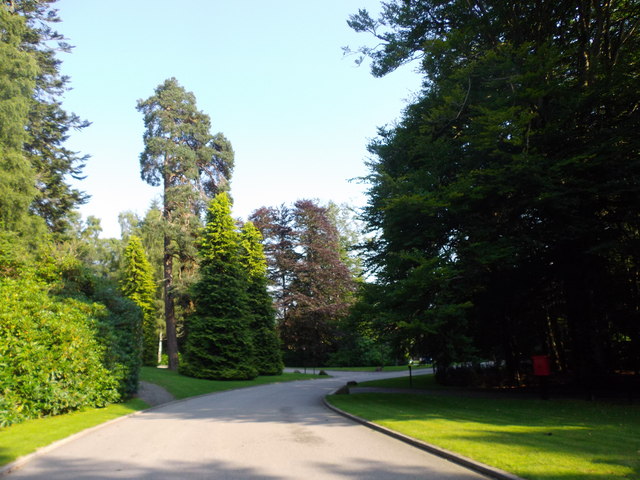
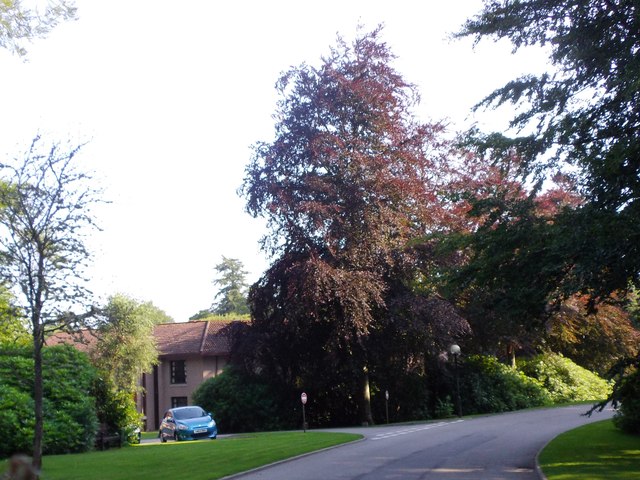
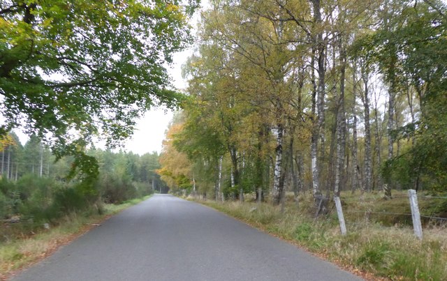
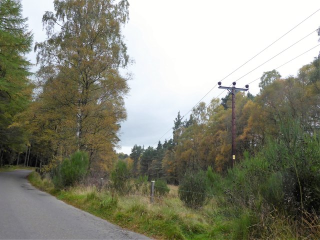
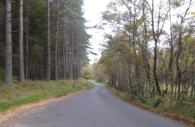
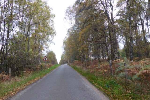
The village is known for its picturesque beauty, surrounded by rolling hills and dense forests. Nature enthusiasts are drawn to Pinecrest for its abundance of outdoor activities such as hiking, cycling, and birdwatching. The nearby Pinecrest Forest Park provides an ideal setting for leisurely walks and picnics amidst the serene backdrop of towering pine trees.
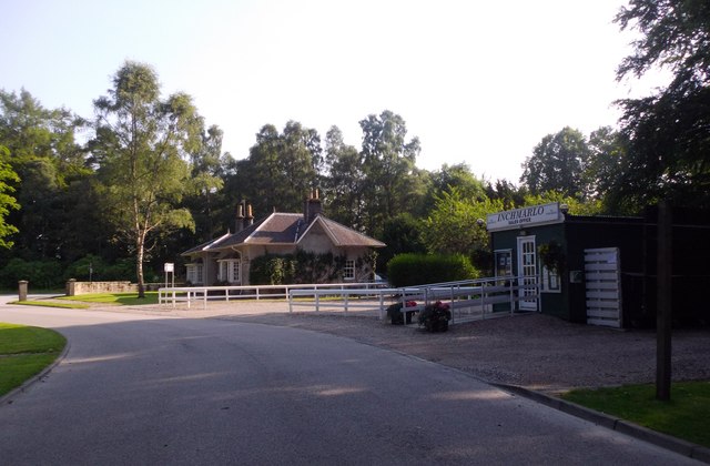
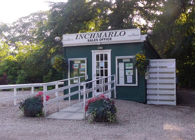
Pinecrest offers a range of amenities to cater to its residents' needs. The village has a primary school, ensuring that young children have access to quality education within their community. Additionally, there are a few local shops and businesses that provide essential goods and services, reducing the need for residents to travel far for their daily requirements.
For those seeking a slower pace of life, Pinecrest offers a peaceful and charming environment. The village boasts a strong sense of community spirit, with various events and gatherings organized throughout the year, allowing residents to come together and celebrate their shared values and traditions.
Overall, Pinecrest is a hidden gem in the heart of Kincardineshire, Scotland. Its natural beauty, close-knit community, and range of amenities make it an attractive place to live for those seeking a peaceful and idyllic lifestyle.
If you have any feedback on the listing, please let us know in the comments section below.
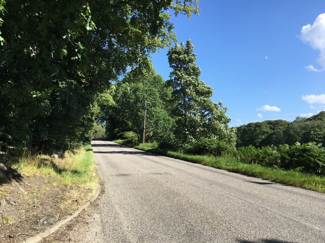
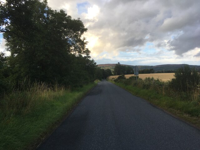
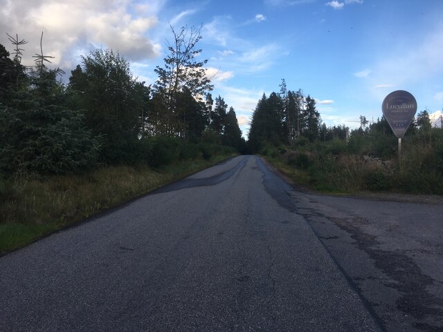
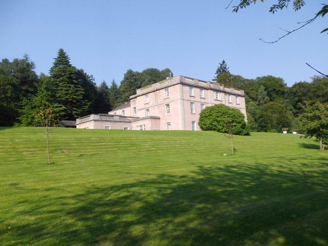
Pinecrest Images
Images are sourced within 2km of 57.062792/-2.543604 or Grid Reference NO6796. Thanks to Geograph Open Source API. All images are credited.

Pinecrest is located at Grid Ref: NO6796 (Lat: 57.062792, Lng: -2.543604)
Unitary Authority: Aberdeenshire
Police Authority: North East
What 3 Words
///wonderful.notices.restore. Near Banchory, Aberdeenshire
Nearby Locations
Related Wikis

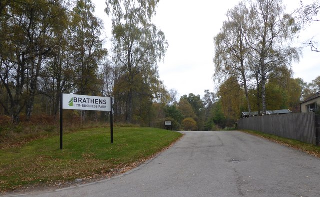
Brathens
Brathens is a village in Aberdeenshire, Scotland. == References ==

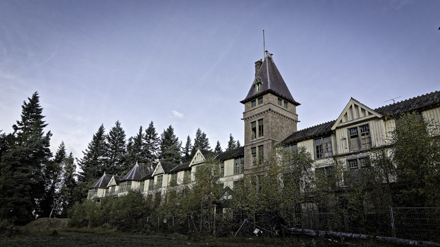
Glen o' Dee Hospital
Glen o' Dee Hospital is situated in the west end of Banchory, Aberdeenshire, Scotland. It is a small community hospital that provides services for the...
Kinneskie Road drill hall, Banchory
The Kinneskie Road drill hall is a former military installation near Banchory, Scotland. == History == The building was designed as the headquarters of...

Banchory Town Hall
Banchory Town Hall is a municipal structure in the High Street, Banchory, Aberdeenshire, Scotland. The structure is primarily used as a community events...

Beltie Burn
The Beltie Burn is a burn in Aberdeenshire, Scotland, which below Torphins and Glassel is known as the Burn of Canny. It begins in the hill of Benaquhallie...

Glassel railway station
Glassel railway station is a disused railway station in Britain. It served Glassel House, the Mill of Beltie and the local farms and the inhabitants of...

Dee Street Halt railway station
Dee Street Halt railway station was a short-lived stopping place on the Aberdeen and Ballater railway branch. It was situated at 17 miles 30 chains (28...

Scolty Hill
Scolty Hill is a small hill south of the Deeside town, Banchory. Its best known feature is the 20m tall tower monument, built in 1840 as a memorial to...
Nearby Amenities
Located within 500m of 57.062792,-2.543604Have you been to Pinecrest?
Leave your review of Pinecrest below (or comments, questions and feedback).