Lewisvale
Settlement in Midlothian
Scotland
Lewisvale
Lewisvale is a small village located in Midlothian, Scotland. Situated approximately 9 miles southeast of Edinburgh, it is a picturesque and tranquil place that offers a peaceful retreat from the bustling city life. The village is nestled amidst rolling hills and lush green landscapes, providing residents with stunning views and a close connection to nature.
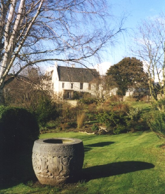
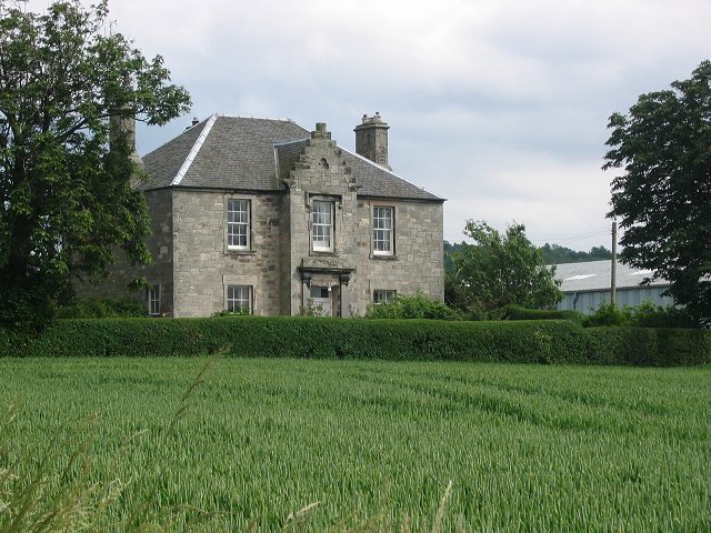
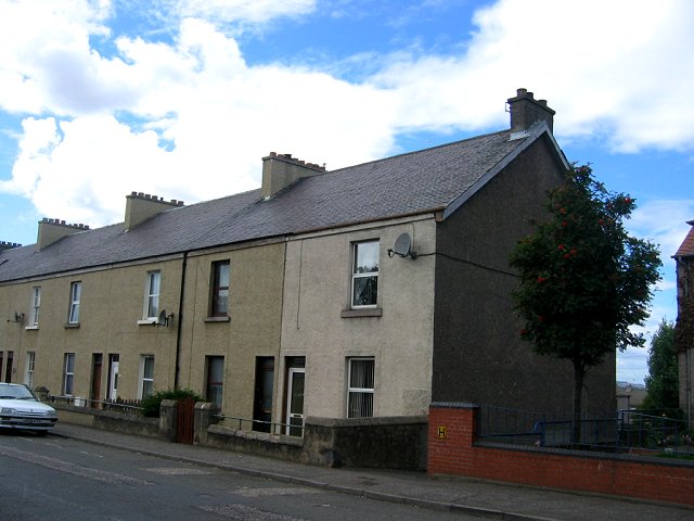
Despite its small size, Lewisvale has a close-knit community that takes pride in its rich history and heritage. The village is home to several traditional stone houses and buildings, which add to its charming character. The local residents are friendly and welcoming, making it an ideal place for families and individuals seeking a tight-knit community atmosphere.
Lewisvale offers a range of amenities to cater to the needs of its residents. These include a local convenience store, a post office, and a primary school, ensuring that basic necessities and educational facilities are easily accessible. Additionally, the village boasts a community center where residents can gather for various activities and events.
For those who enjoy outdoor activities, Lewisvale offers plenty of opportunities to explore the surrounding countryside. The village is located near several nature reserves and parks, providing residents with ample space for walking, hiking, and cycling. The nearby Pentland Hills Regional Park is a popular destination for outdoor enthusiasts, offering stunning vistas, walking trails, and wildlife sightings.
Overall, Lewisvale provides a peaceful and idyllic setting for those seeking a close-knit community and a connection to nature. With its rich history, beautiful landscapes, and range of amenities, it is no wonder that Lewisvale is a sought-after place to call home in Midlothian.
If you have any feedback on the listing, please let us know in the comments section below.
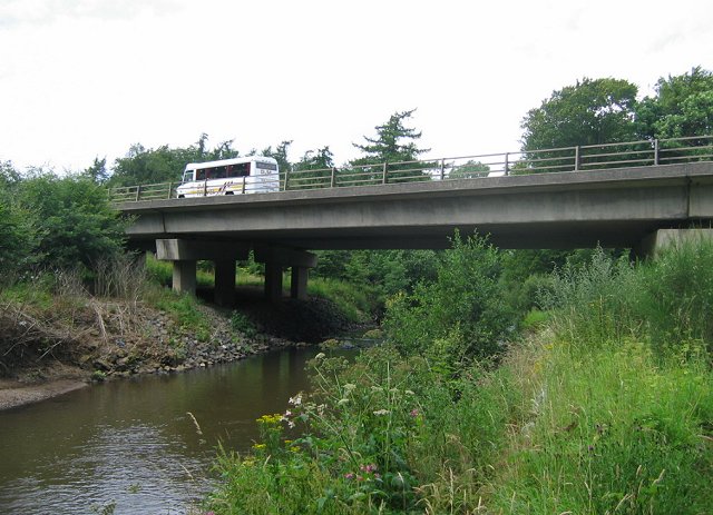
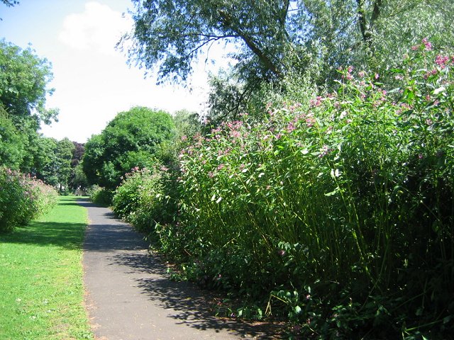
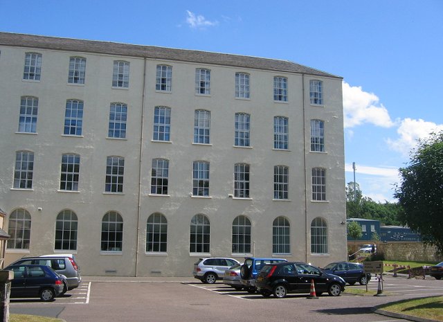
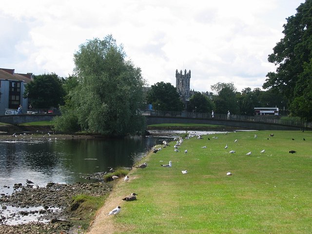
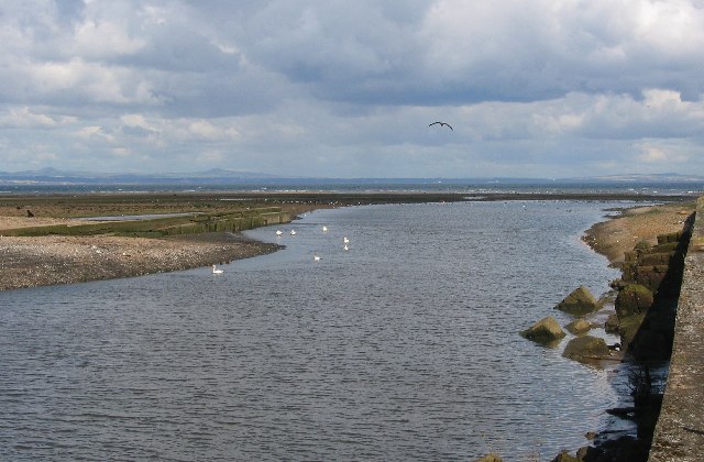
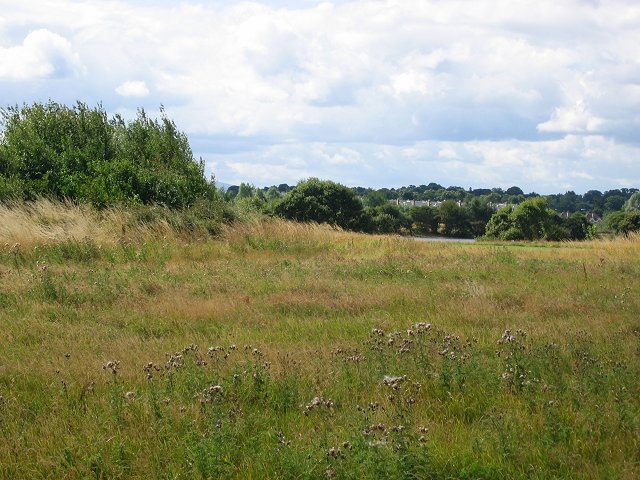
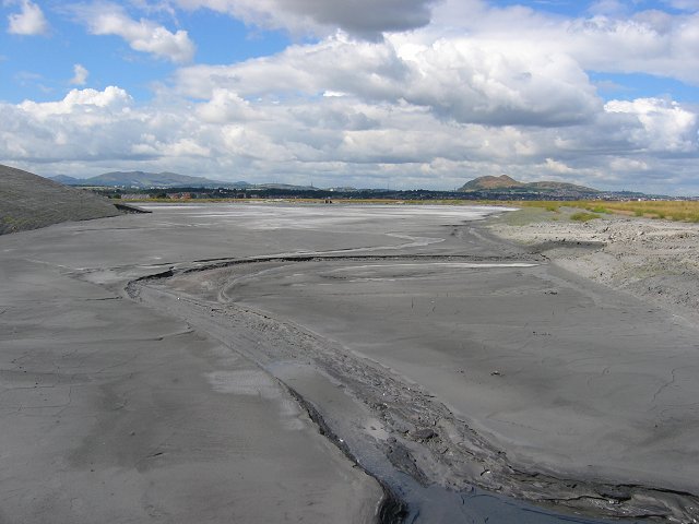
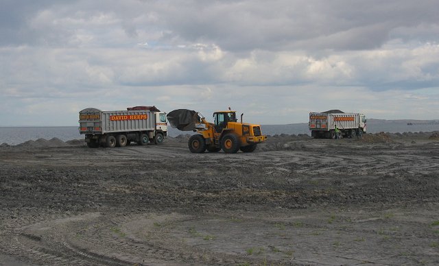
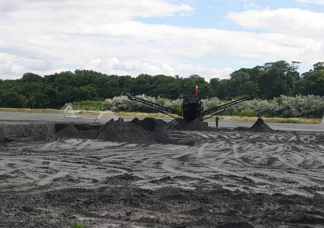
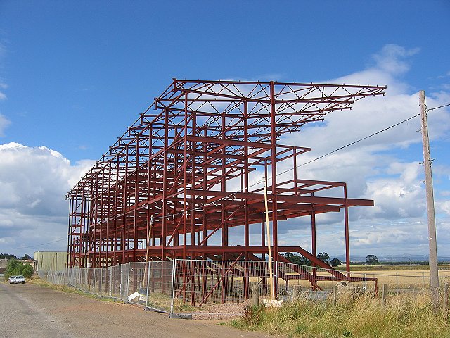
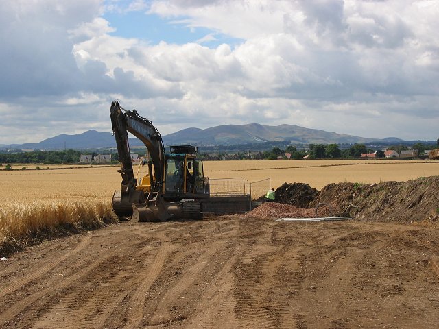
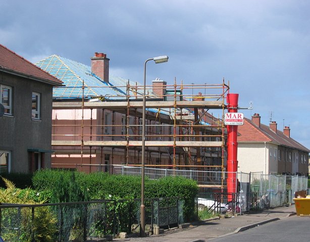
Lewisvale Images
Images are sourced within 2km of 55.940903/-3.0407906 or Grid Reference NT3572. Thanks to Geograph Open Source API. All images are credited.

Lewisvale is located at Grid Ref: NT3572 (Lat: 55.940903, Lng: -3.0407906)
Unitary Authority: East Lothian
Police Authority: The Lothians and Scottish Borders
What 3 Words
///rental.bumps.passes. Near Musselburgh, East Lothian
Nearby Locations
Related Wikis
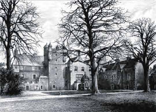
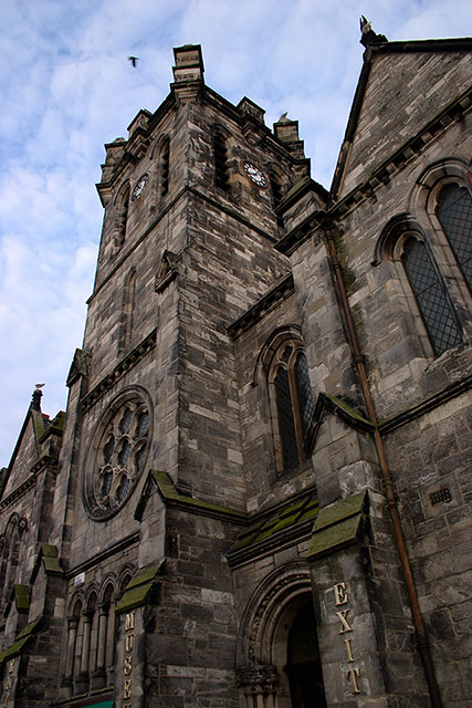
Pinkie House
Pinkie House is a historic house, built around a three-storey tower house located in Musselburgh, East Lothian, Scotland. The house dates from the 16th...
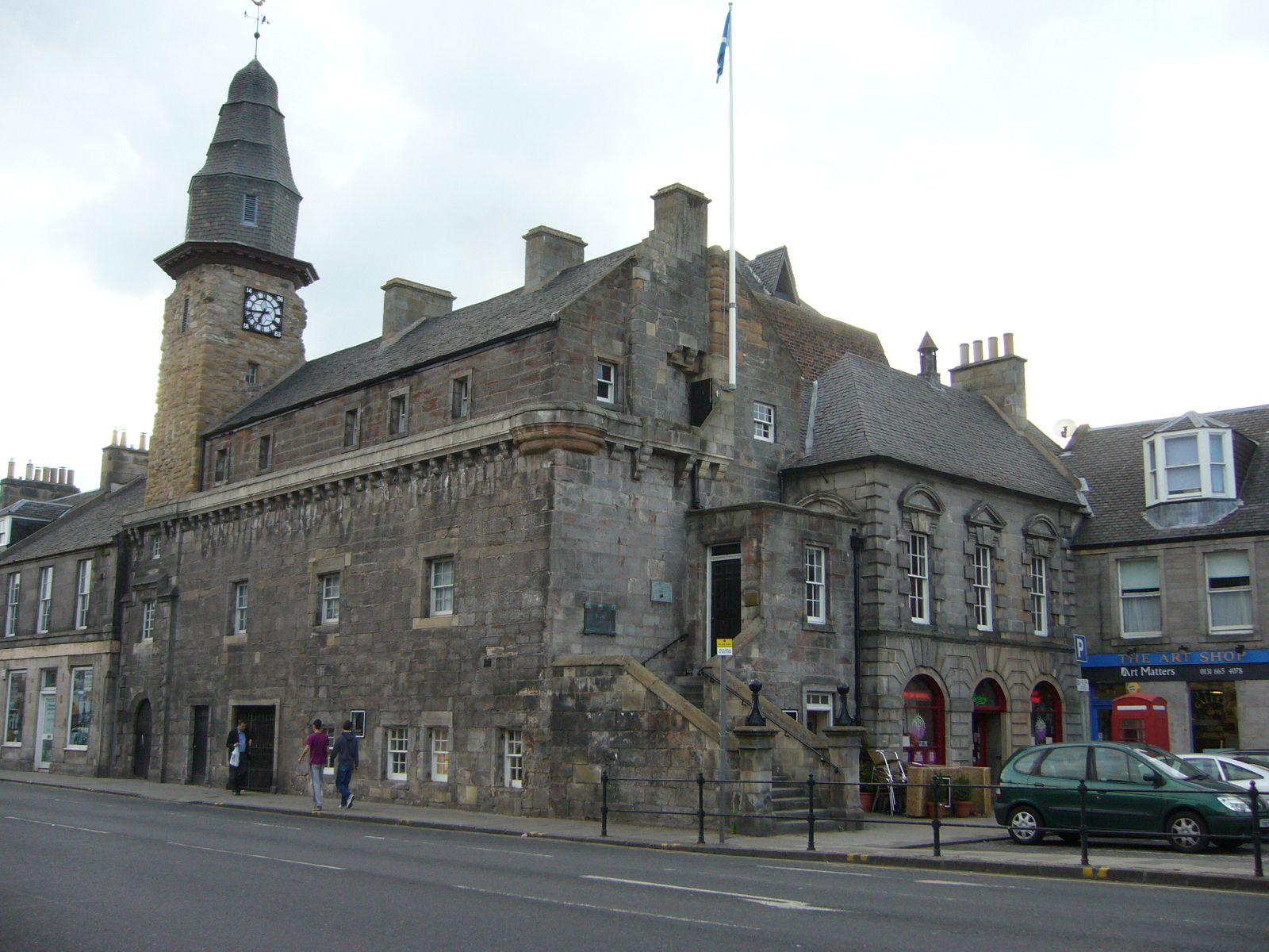
Musselburgh Tolbooth
Musselburgh Tolbooth is a municipal building in the High Street in Musselburgh, East Lothian, Scotland. The tolbooth, which was the headquarters of Musselburgh...

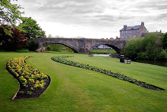
Inveresk
Inveresk (Gaelic: Inbhir Easg) is a village in East Lothian, Scotland situated 5⁄8 mi (1 km) to the south of Musselburgh. It has been designated a conservation...

Musselburgh Grammar School
Musselburgh Grammar School a state-funded secondary school in Musselburgh, East Lothian, Scotland. It serves as the main secondary school for Musselburgh...
Nearby Amenities
Located within 500m of 55.940903,-3.0407906Have you been to Lewisvale?
Leave your review of Lewisvale below (or comments, questions and feedback).