Paradise
Settlement in Lancashire Barrow-in-Furness
England
Paradise

Paradise is a small village located in the county of Lancashire, England. Situated in the picturesque Ribble Valley, it is known for its charming and idyllic setting, surrounded by rolling hills and lush countryside. Paradise is part of the civil parish of Ribchester and is nestled alongside the River Ribble, offering residents and visitors stunning views and a tranquil atmosphere.
The village is home to a close-knit community, with a population of around 400 people. It has a rich history, dating back to Roman times, and is famed for its archaeological heritage. The remains of a Roman fort and bathhouse have been discovered in Paradise, attracting history enthusiasts from far and wide.
Although small, Paradise boasts a number of amenities for its residents. These include a village hall, a local pub, and a primary school, providing essential services and fostering a sense of community spirit. The village is also well-connected to nearby towns and cities, such as Preston and Blackburn, making it an ideal place to reside for those seeking a peaceful rural lifestyle whilst still having access to urban conveniences.
Paradise is a popular destination for outdoor enthusiasts, offering a range of scenic walking and cycling routes. The village is located close to the renowned Forest of Bowland, an Area of Outstanding Natural Beauty, where visitors can explore vast woodlands, picturesque valleys, and spot a diverse range of wildlife.
In summary, Paradise, Lancashire, is a charming and picturesque village, steeped in history and surrounded by stunning natural beauty. With its close-knit community and range of amenities, it offers a peaceful and idyllic place to call home or visit for those seeking a rural retreat.
If you have any feedback on the listing, please let us know in the comments section below.
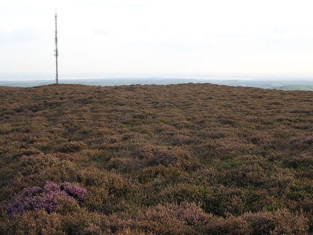
Paradise Images
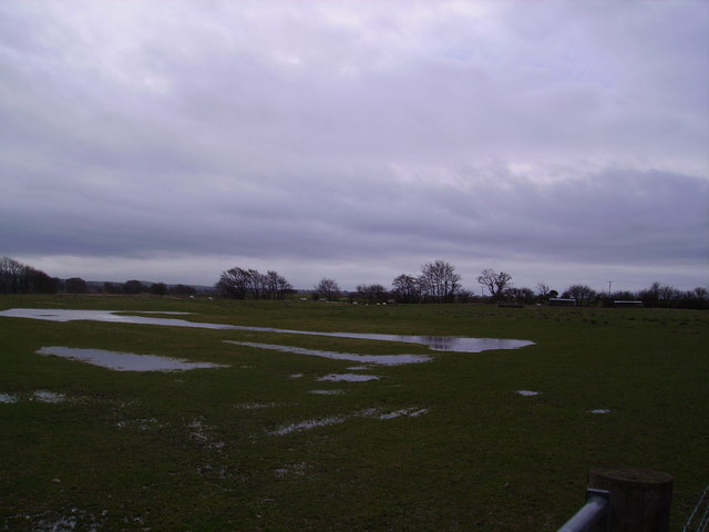
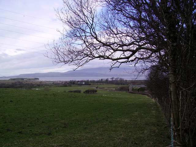
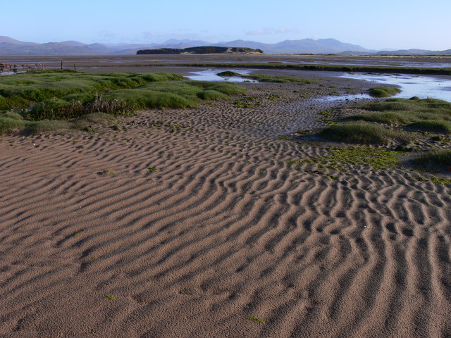
Images are sourced within 2km of 54.197095/-3.1858024 or Grid Reference SD2278. Thanks to Geograph Open Source API. All images are credited.


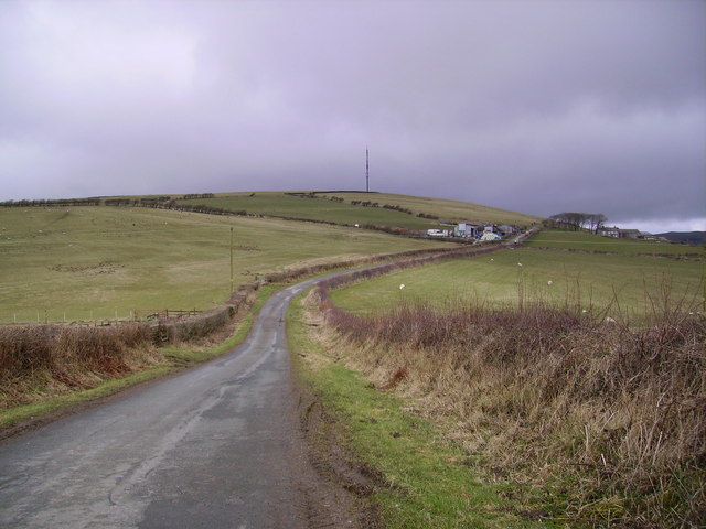
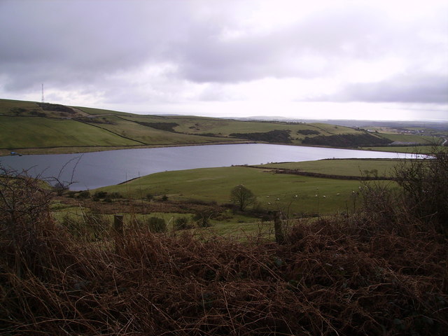

Paradise is located at Grid Ref: SD2278 (Lat: 54.197095, Lng: -3.1858024)
Administrative County: Cumbria
District: Barrow-in-Furness
Police Authority: Cumbria
What 3 Words
///handwriting.sleeping.postings. Near Askam in Furness, Cumbria
Nearby Locations
Related Wikis

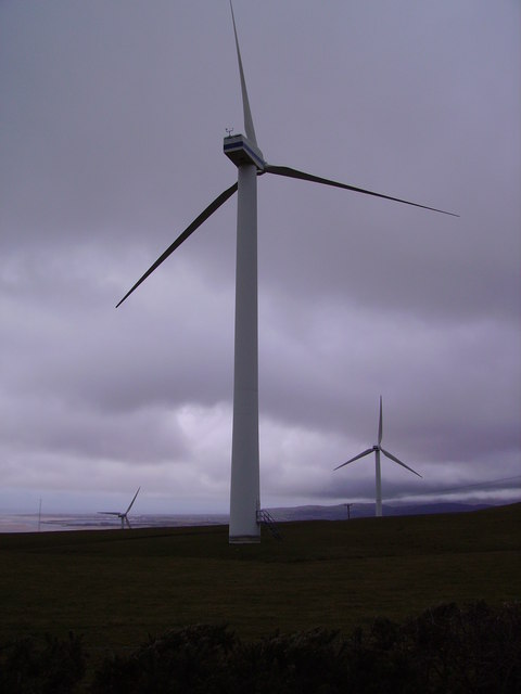
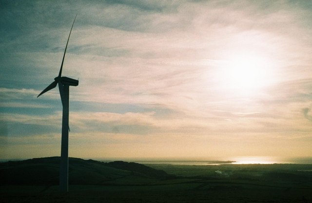
Askam and Ireleth Wind Farm
Askam and Ireleth Wind Farm is a group of 7 turbines located two kilometers east of the village Askam and Ireleth, on the southern slopes of Hare Slack...

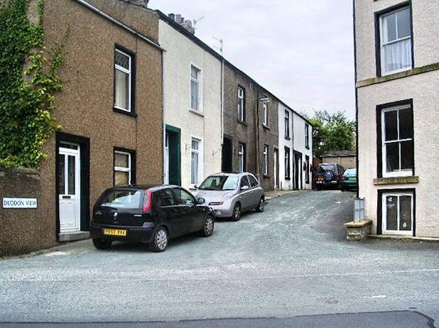
Askam and Ireleth
Askam and Ireleth is a civil parish close to Barrow-in-Furness in Westmorland and Furness, Cumbria, England. Historically part of Lancashire, it originally...

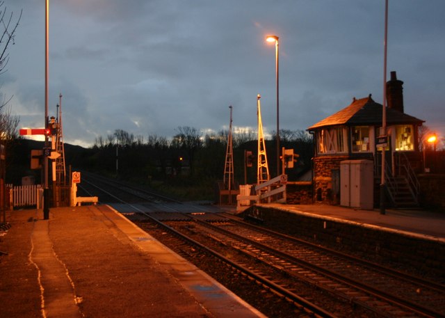
Askam railway station
Askam is a railway station on the Cumbrian Coast Line, which runs between Carlisle and Barrow-in-Furness. The station, situated 6 miles (10 km) north of...

Dalton North
Dalton North is a ward of the British town Dalton-in-Furness, within the Borough of Barrow-in-Furness. With 6,599 people residing in Dalton North in 2001...
Nearby Amenities
Located within 500m of 54.197095,-3.1858024Have you been to Paradise?
Leave your review of Paradise below (or comments, questions and feedback).