Orton Longueville

Settlement in Huntingdonshire

England

Orton Longueville

Nene Junction signal box
Nene Junction signal box Credit: Roy Hughes

Orton Longueville is a village and civil parish located in the Huntingdonshire district of the county of Cambridgeshire, England. Situated just south of Peterborough, it is part of the larger urban area known as Greater Peterborough.

The village of Orton Longueville has a rich history, dating back to the Domesday Book of 1086. Over the centuries, it has evolved from a small agricultural community into a thriving residential area. Today, it is primarily a suburb of Peterborough, with a mix of residential and commercial developments.

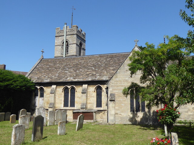
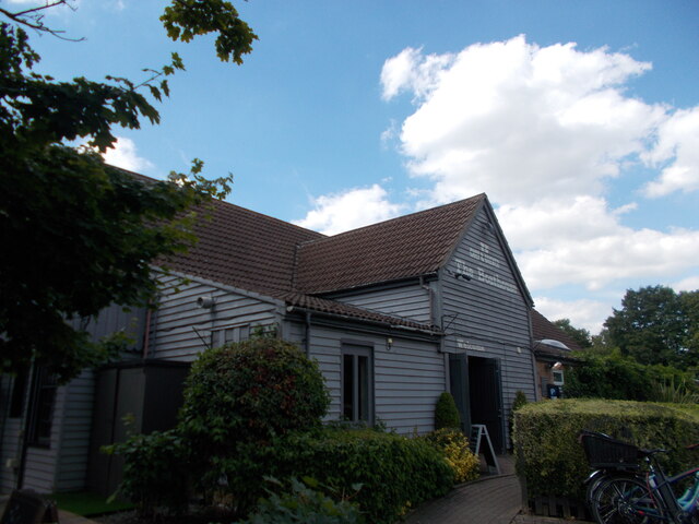
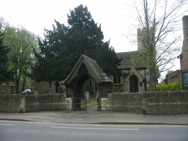
One of the notable landmarks in Orton Longueville is the historic All Saints Church, which dates back to the 12th century. The church features a medieval tower and stained glass windows, attracting visitors interested in architectural and historical heritage.

The village offers a range of amenities and services to its residents. It has a primary school, a medical center, a community hall, and several local shops and businesses. The nearby Orton Centre provides additional shopping and leisure facilities.

Orton Longueville benefits from its proximity to Peterborough, which offers a wider range of amenities, including shopping centers, entertainment venues, and transport links. The village is well-connected to major road networks, with the A1(M) and A605 providing easy access to surrounding areas.

Overall, Orton Longueville is a picturesque village with a blend of historical charm and modern convenience. It provides a peaceful and attractive place to live, while also benefiting from its close proximity to the amenities of Peterborough.

If you have any feedback on the listing, please let us know in the comments section below.

Orton Longueville Images

Images are sourced within 2km of 52.556808/-0.26482478 or Grid Reference TL1796. Thanks to Geograph Open Source API. All images are credited.
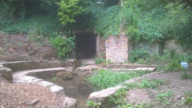
Nene Junction signal box
Longthorpe buildings [1] Longthorpe Post Office, number 293 Thorpe Road, was built in the 18th century. Constructed of plastered rubble stone under a thatch roof. There is a small shop extension on the right. Listed, grade II, with details at: <span class="nowrap"><a title="https://historicengland.org.uk/listing/the-list/list-entry/1126916" rel="nofollow ugc noopener" href="https://historicengland.org.uk/listing/the-list/list-entry/1126916">Link</a><img style="margin-left:2px;" alt="External link" title="External link - shift click to open in new window" src="https://s1.geograph.org.uk/img/external.png" width="10" height="10"/></span>
Longthorpe is a village in the city of Peterborough, some 2 miles west of the city centre. A Roman fort was established here in the 1st century covering 27 acres, later replaced by another fort of 11 acres. The village is home to Longthorpe Tower, a 14th-century tower and fortified manor house, it contains the finest and most complete set of domestic paintings of the period in northern Europe.
Longthorpe buildings [1]
Longthorpe Post Office, number 293 Thorpe Road, was built in the 18th century. Constructed of plastered rubble stone under a thatch roof. There is a small shop extension on the right. Listed, grade II, with details at: LinkExternal link Longthorpe is a village in the city of Peterborough, some 2 miles west of the city centre. A Roman fort was established here in the 1st century covering 27 acres, later replaced by another fort of 11 acres. The village is home to Longthorpe Tower, a 14th-century tower and fortified manor house, it contains the finest and most complete set of domestic paintings of the period in northern Europe.
Woodston, St Augustine of Canterbury
Holywell Ponds, Longthorpe Holywell Ponds, located in the Longthorpe area of Peterborough, are a series of eight medieval ponds which formerly belonged to and provided a source of fresh fish for the Thorpe Hall estate. They are situated in a 3.5-hectare area of land which was designated as a nature reserve in 1992.
The ponds themselves are fed by a natural spring at one corner of the site. The grotto from which the spring emanates was reputedly home to a holy hermit (possibly St. Botolph, to whom the local church is dedicated), hence the name "Holywell". The spring water is reputed to have healing qualities owing to the high level of Total Dissolved Solids (TDS), which were measured at 550 milligrams per litre.
Commencing in September 2020, a team of local volunteers began establishing a wildflower meadow in the area around the spring.

Sources: <span class="nowrap"><a title="https://www.visitpeterborough.com/things-to-do/holywell-ponds-p874501#:~:text=The%20site%20of%20Holywell%20Ponds,constant%20supply%20of%20fresh%20fish" rel="nofollow ugc noopener" href="https://www.visitpeterborough.com/things-to-do/holywell-ponds-p874501#:~:text=The%20site%20of%20Holywell%20Ponds,constant%20supply%20of%20fresh%20fish">Link</a><img style="margin-left:2px;" alt="External link" title="External link - shift click to open in new window" src="https://s1.geograph.org.uk/img/external.png" width="10" height="10"/></span>
<span class="nowrap"><a title="https://www.cambridge-news.co.uk/news/local-news/historic-local-ponds-transformed-idyllic-23335581" rel="nofollow ugc noopener" href="https://www.cambridge-news.co.uk/news/local-news/historic-local-ponds-transformed-idyllic-23335581">Link</a><img style="margin-left:2px;" alt="External link" title="External link - shift click to open in new window" src="https://s1.geograph.org.uk/img/external.png" width="10" height="10"/></span>
<span class="nowrap"><a title="https://findaspring.com/spring/locations/europe/holy-well-mineral-spring-peterborough-cambridgeshire-england/" rel="nofollow ugc noopener" href="https://findaspring.com/spring/locations/europe/holy-well-mineral-spring-peterborough-cambridgeshire-england/">Link</a><img style="margin-left:2px;" alt="External link" title="External link - shift click to open in new window" src="https://s1.geograph.org.uk/img/external.png" width="10" height="10"/></span>
Holywell Ponds, Longthorpe
Holywell Ponds, located in the Longthorpe area of Peterborough, are a series of eight medieval ponds which formerly belonged to and provided a source of fresh fish for the Thorpe Hall estate. They are situated in a 3.5-hectare area of land which was designated as a nature reserve in 1992. The ponds themselves are fed by a natural spring at one corner of the site. The grotto from which the spring emanates was reputedly home to a holy hermit (possibly St. Botolph, to whom the local church is dedicated), hence the name "Holywell". The spring water is reputed to have healing qualities owing to the high level of Total Dissolved Solids (TDS), which were measured at 550 milligrams per litre. Commencing in September 2020, a team of local volunteers began establishing a wildflower meadow in the area around the spring. Sources: LinkExternal link LinkExternal link LinkExternal link
Holywell Ponds, Longthorpe Holywell Ponds, located in the Longthorpe area of Peterborough, are a series of eight medieval ponds which formerly belonged to and provided a source of fresh fish for the Thorpe Hall estate. They are situated in a 3.5-hectare area of land which was designated as a nature reserve in 1992.
The ponds themselves are fed by a natural spring at one corner of the site. The grotto from which the spring emanates was reputedly home to a holy hermit (possibly St. Botolph, to whom the local church is dedicated), hence the name "Holywell". The spring water is reputed to have healing qualities owing to the high level of Total Dissolved Solids (TDS), which were measured at 550 milligrams per litre.
Commencing in September 2020, a team of local volunteers began establishing a wildflower meadow in the area around the spring.

Sources: <span class="nowrap"><a title="https://www.visitpeterborough.com/things-to-do/holywell-ponds-p874501#:~:text=The%20site%20of%20Holywell%20Ponds,constant%20supply%20of%20fresh%20fish" rel="nofollow ugc noopener" href="https://www.visitpeterborough.com/things-to-do/holywell-ponds-p874501#:~:text=The%20site%20of%20Holywell%20Ponds,constant%20supply%20of%20fresh%20fish">Link</a><img style="margin-left:2px;" alt="External link" title="External link - shift click to open in new window" src="https://s1.geograph.org.uk/img/external.png" width="10" height="10"/></span> 
<span class="nowrap"><a title="https://www.cambridge-news.co.uk/news/local-news/historic-local-ponds-transformed-idyllic-23335581" rel="nofollow ugc noopener" href="https://www.cambridge-news.co.uk/news/local-news/historic-local-ponds-transformed-idyllic-23335581">Link</a><img style="margin-left:2px;" alt="External link" title="External link - shift click to open in new window" src="https://s1.geograph.org.uk/img/external.png" width="10" height="10"/></span>
<span class="nowrap"><a title="https://findaspring.com/spring/locations/europe/holy-well-mineral-spring-peterborough-cambridgeshire-england/" rel="nofollow ugc noopener" href="https://findaspring.com/spring/locations/europe/holy-well-mineral-spring-peterborough-cambridgeshire-england/">Link</a><img style="margin-left:2px;" alt="External link" title="External link - shift click to open in new window" src="https://s1.geograph.org.uk/img/external.png" width="10" height="10"/></span>
Holywell Ponds, Longthorpe
Holywell Ponds, located in the Longthorpe area of Peterborough, are a series of eight medieval ponds which formerly belonged to and provided a source of fresh fish for the Thorpe Hall estate. They are situated in a 3.5-hectare area of land which was designated as a nature reserve in 1992. The ponds themselves are fed by a natural spring at one corner of the site. The grotto from which the spring emanates was reputedly home to a holy hermit (possibly St. Botolph, to whom the local church is dedicated), hence the name "Holywell". The spring water is reputed to have healing qualities owing to the high level of Total Dissolved Solids (TDS), which were measured at 550 milligrams per litre. Commencing in September 2020, a team of local volunteers began establishing a wildflower meadow in the area around the spring. Sources: LinkExternal link LinkExternal link LinkExternal link
Mineral water spring at Holywell Ponds, Longthorpe Holywell Ponds, located in the Longthorpe area of Peterborough, are a series of eight medieval ponds which formerly belonged to and provided a source of fresh fish for the Thorpe Hall estate. They are situated in a 3.5-hectare area of land which was designated as a nature reserve in 1992.
The ponds themselves are fed by a natural spring at one corner of the site. The grotto from which the spring emanates was reputedly home to a holy hermit (possibly St. Botolph, to whom the local church is dedicated), hence the name "Holywell". The spring water is reputed to have healing qualities owing to the high level of Total Dissolved Solids (TDS), which were measured at 550 milligrams per litre.
Commencing in September 2020, a team of local volunteers began establishing a wildflower meadow in the area around the spring.

Sources: <span class="nowrap"><a title="https://www.visitpeterborough.com/things-to-do/holywell-ponds-p874501#:~:text=The%20site%20of%20Holywell%20Ponds,constant%20supply%20of%20fresh%20fish" rel="nofollow ugc noopener" href="https://www.visitpeterborough.com/things-to-do/holywell-ponds-p874501#:~:text=The%20site%20of%20Holywell%20Ponds,constant%20supply%20of%20fresh%20fish">Link</a><img style="margin-left:2px;" alt="External link" title="External link - shift click to open in new window" src="https://s1.geograph.org.uk/img/external.png" width="10" height="10"/></span> 
<span class="nowrap"><a title="https://www.cambridge-news.co.uk/news/local-news/historic-local-ponds-transformed-idyllic-23335581" rel="nofollow ugc noopener" href="https://www.cambridge-news.co.uk/news/local-news/historic-local-ponds-transformed-idyllic-23335581">Link</a><img style="margin-left:2px;" alt="External link" title="External link - shift click to open in new window" src="https://s1.geograph.org.uk/img/external.png" width="10" height="10"/></span>
<span class="nowrap"><a title="https://findaspring.com/spring/locations/europe/holy-well-mineral-spring-peterborough-cambridgeshire-england/" rel="nofollow ugc noopener" href="https://findaspring.com/spring/locations/europe/holy-well-mineral-spring-peterborough-cambridgeshire-england/">Link</a><img style="margin-left:2px;" alt="External link" title="External link - shift click to open in new window" src="https://s1.geograph.org.uk/img/external.png" width="10" height="10"/></span>
Mineral water spring at Holywell Ponds, Longthorpe
Holywell Ponds, located in the Longthorpe area of Peterborough, are a series of eight medieval ponds which formerly belonged to and provided a source of fresh fish for the Thorpe Hall estate. They are situated in a 3.5-hectare area of land which was designated as a nature reserve in 1992. The ponds themselves are fed by a natural spring at one corner of the site. The grotto from which the spring emanates was reputedly home to a holy hermit (possibly St. Botolph, to whom the local church is dedicated), hence the name "Holywell". The spring water is reputed to have healing qualities owing to the high level of Total Dissolved Solids (TDS), which were measured at 550 milligrams per litre. Commencing in September 2020, a team of local volunteers began establishing a wildflower meadow in the area around the spring. Sources: LinkExternal link LinkExternal link LinkExternal link
Holywell Ponds, Longthorpe Holywell Ponds, located in the Longthorpe area of Peterborough, are a series of eight medieval ponds which formerly belonged to and provided a source of fresh fish for the Thorpe Hall estate. They are situated in a 3.5 hectare area of land which was designated as a nature reserve in 1992.
The ponds themselves are fed by a natural spring at one corner of the site. The grotto from which the spring emanates was reputedly home to a holy hermit (possibly St. Botolph, to whom the local church is dedicated), hence the name "Holywell". The spring water is reputed to have healing qualities owing to the high level of Total Dissolved Solids (TDS), which were measured at 550 milligrams per litre.
Commencing in September 2020, a team of local volunteers began establishing a wildflower meadow in the area around the spring.

Sources: <span class="nowrap"><a title="https://www.visitpeterborough.com/things-to-do/holywell-ponds-p874501#:~:text=The%20site%20of%20Holywell%20Ponds,constant%20supply%20of%20fresh%20fish" rel="nofollow ugc noopener" href="https://www.visitpeterborough.com/things-to-do/holywell-ponds-p874501#:~:text=The%20site%20of%20Holywell%20Ponds,constant%20supply%20of%20fresh%20fish">Link</a><img style="margin-left:2px;" alt="External link" title="External link - shift click to open in new window" src="https://s1.geograph.org.uk/img/external.png" width="10" height="10"/></span>
<span class="nowrap"><a title="https://www.cambridge-news.co.uk/news/local-news/historic-local-ponds-transformed-idyllic-23335581" rel="nofollow ugc noopener" href="https://www.cambridge-news.co.uk/news/local-news/historic-local-ponds-transformed-idyllic-23335581">Link</a><img style="margin-left:2px;" alt="External link" title="External link - shift click to open in new window" src="https://s1.geograph.org.uk/img/external.png" width="10" height="10"/></span>
<span class="nowrap"><a title="https://findaspring.com/spring/locations/europe/holy-well-mineral-spring-peterborough-cambridgeshire-england/" rel="nofollow ugc noopener" href="https://findaspring.com/spring/locations/europe/holy-well-mineral-spring-peterborough-cambridgeshire-england/">Link</a><img style="margin-left:2px;" alt="External link" title="External link - shift click to open in new window" src="https://s1.geograph.org.uk/img/external.png" width="10" height="10"/></span>
Holywell Ponds, Longthorpe
Holywell Ponds, located in the Longthorpe area of Peterborough, are a series of eight medieval ponds which formerly belonged to and provided a source of fresh fish for the Thorpe Hall estate. They are situated in a 3.5 hectare area of land which was designated as a nature reserve in 1992. The ponds themselves are fed by a natural spring at one corner of the site. The grotto from which the spring emanates was reputedly home to a holy hermit (possibly St. Botolph, to whom the local church is dedicated), hence the name "Holywell". The spring water is reputed to have healing qualities owing to the high level of Total Dissolved Solids (TDS), which were measured at 550 milligrams per litre. Commencing in September 2020, a team of local volunteers began establishing a wildflower meadow in the area around the spring. Sources: LinkExternal link LinkExternal link LinkExternal link
Freight wagons at Peterborough Nene Valley station The Nene Valley Railway (NVR) was opened by the Peterborough Railway Society (PRS) in 1974. It began operating passenger services in June 1977 and now ranks as one of the United Kingdom's leading heritage railways. The seven-and-a-half-mile route runs between Peterborough Nene Valley and Yarwell Junction. The NVR is a popular venue for location filming and has appeared in the James Bond movies "Octopussy" and "GoldenEye" and the BBC television drama series "Secret Army" and "Casualty" amongst others.

Source: <span class="nowrap"><a title="https://en.wikipedia.org/wiki/Nene_Valley_Railway" rel="nofollow ugc noopener" href="https://en.wikipedia.org/wiki/Nene_Valley_Railway">Link</a><img style="margin-left:2px;" alt="External link" title="External link - shift click to open in new window" src="https://s1.geograph.org.uk/img/external.png" width="10" height="10"/></span>
Freight wagons at Peterborough Nene Valley station
The Nene Valley Railway (NVR) was opened by the Peterborough Railway Society (PRS) in 1974. It began operating passenger services in June 1977 and now ranks as one of the United Kingdom's leading heritage railways. The seven-and-a-half-mile route runs between Peterborough Nene Valley and Yarwell Junction. The NVR is a popular venue for location filming and has appeared in the James Bond movies "Octopussy" and "GoldenEye" and the BBC television drama series "Secret Army" and "Casualty" amongst others. Source: LinkExternal link
Swedish diesel railcar approaching Peterborough Nene Valley station "Helga", a Swedish-built Y7 diesel railcar (no. 1212), was built in 1958. It was one of 122 such railcars manufactured for Swedish state railway Statens Järnvägar (SJ) between 1957 and 1960. It was transferred to the United Kingdom and has been preserved by the Nene Valley Railway (NVR) since 1984.
The NVR was opened by the Peterborough Railway Society (PRS) in 1974. It began operating passenger services in June 1977 and now ranks as one of the United Kingdom's leading heritage railways. The seven-and-a-half-mile route runs between Peterborough Nene Valley and Yarwell Junction. The NVR is a popular venue for location filming and has appeared in the James Bond movies "Octopussy" and "GoldenEye" and the BBC television drama series "Secret Army" and "Casualty" amongst others.

Sources: <span class="nowrap"><a title="https://en.wikipedia.org/wiki/SJ_Y6" rel="nofollow ugc noopener" href="https://en.wikipedia.org/wiki/SJ_Y6">Link</a><img style="margin-left:2px;" alt="External link" title="External link - shift click to open in new window" src="https://s1.geograph.org.uk/img/external.png" width="10" height="10"/></span>
<span class="nowrap"><a title="http://preserved.railcar.co.uk/1212.html" rel="nofollow ugc noopener" href="http://preserved.railcar.co.uk/1212.html">Link</a><img style="margin-left:2px;" alt="External link" title="External link - shift click to open in new window" src="https://s1.geograph.org.uk/img/external.png" width="10" height="10"/></span>
<span class="nowrap"><a title="https://en.wikipedia.org/wiki/Nene_Valley_Railway" rel="nofollow ugc noopener" href="https://en.wikipedia.org/wiki/Nene_Valley_Railway">Link</a><img style="margin-left:2px;" alt="External link" title="External link - shift click to open in new window" src="https://s1.geograph.org.uk/img/external.png" width="10" height="10"/></span>
Swedish diesel railcar approaching Peterborough Nene Valley station
"Helga", a Swedish-built Y7 diesel railcar (no. 1212), was built in 1958. It was one of 122 such railcars manufactured for Swedish state railway Statens Järnvägar (SJ) between 1957 and 1960. It was transferred to the United Kingdom and has been preserved by the Nene Valley Railway (NVR) since 1984. The NVR was opened by the Peterborough Railway Society (PRS) in 1974. It began operating passenger services in June 1977 and now ranks as one of the United Kingdom's leading heritage railways. The seven-and-a-half-mile route runs between Peterborough Nene Valley and Yarwell Junction. The NVR is a popular venue for location filming and has appeared in the James Bond movies "Octopussy" and "GoldenEye" and the BBC television drama series "Secret Army" and "Casualty" amongst others. Sources: LinkExternal link LinkExternal link LinkExternal link
Swedish diesel railcar at Peterborough Nene Valley station "Helga", a Swedish-built Y7 diesel railcar (no. 1212), was built in 1958. It was one of 122 such railcars manufactured for Swedish state railway Statens Järnvägar (SJ) between 1957 and 1960. It was transferred to the United Kingdom and has been preserved by the Nene Valley Railway (NVR) since 1984.
The NVR was opened by the Peterborough Railway Society (PRS) in 1974. It began operating passenger services in June 1977 and now ranks as one of the United Kingdom's leading heritage railways. The seven-and-a-half-mile route runs between Peterborough Nene Valley and Yarwell Junction. The NVR is a popular venue for location filming and has appeared in the James Bond movies "Octopussy" and "GoldenEye" and the BBC television drama series "Secret Army" and "Casualty" amongst others.

Sources: <span class="nowrap"><a title="https://en.wikipedia.org/wiki/SJ_Y6" rel="nofollow ugc noopener" href="https://en.wikipedia.org/wiki/SJ_Y6">Link</a><img style="margin-left:2px;" alt="External link" title="External link - shift click to open in new window" src="https://s1.geograph.org.uk/img/external.png" width="10" height="10"/></span>
<span class="nowrap"><a title="http://preserved.railcar.co.uk/1212.html" rel="nofollow ugc noopener" href="http://preserved.railcar.co.uk/1212.html">Link</a><img style="margin-left:2px;" alt="External link" title="External link - shift click to open in new window" src="https://s1.geograph.org.uk/img/external.png" width="10" height="10"/></span>
<span class="nowrap"><a title="https://en.wikipedia.org/wiki/Nene_Valley_Railway" rel="nofollow ugc noopener" href="https://en.wikipedia.org/wiki/Nene_Valley_Railway">Link</a><img style="margin-left:2px;" alt="External link" title="External link - shift click to open in new window" src="https://s1.geograph.org.uk/img/external.png" width="10" height="10"/></span>
Swedish diesel railcar at Peterborough Nene Valley station
"Helga", a Swedish-built Y7 diesel railcar (no. 1212), was built in 1958. It was one of 122 such railcars manufactured for Swedish state railway Statens Järnvägar (SJ) between 1957 and 1960. It was transferred to the United Kingdom and has been preserved by the Nene Valley Railway (NVR) since 1984. The NVR was opened by the Peterborough Railway Society (PRS) in 1974. It began operating passenger services in June 1977 and now ranks as one of the United Kingdom's leading heritage railways. The seven-and-a-half-mile route runs between Peterborough Nene Valley and Yarwell Junction. The NVR is a popular venue for location filming and has appeared in the James Bond movies "Octopussy" and "GoldenEye" and the BBC television drama series "Secret Army" and "Casualty" amongst others. Sources: LinkExternal link LinkExternal link LinkExternal link
Water lilies on the River Nene
Inlet near the Boathouse pub
The Boathouse (pub) A pub in the Nene Valley Country Park.
The Boathouse (pub)
A pub in the Nene Valley Country Park.
Red buoys on the rowing lake, Thorpe Meadows
Rowing lake, Thorpe Meadows Home to Peterborough City Rowing Club.
Rowing lake, Thorpe Meadows
Home to Peterborough City Rowing Club.
Show me another place!

Orton Longueville is located at Grid Ref: TL1796 (Lat: 52.556808, Lng: -0.26482478)

Unitary Authority: Peterborough

Police Authority: Cambridgeshire

What 3 Words

///desk.shin.twin. Near Peterborough, Cambridgeshire

Related Wikis

Woodston, Peterborough

Woodston is a largely residential and industrial area of the city of Peterborough, in the ceremonial county of Cambridgeshire, England. For electoral purposes...

St Olga Ukrainian Catholic Church

St Olga Ukrainian Catholic Church, Woodston, Peterborough, England was built in 1964, and named for Olga of Kyiv. There is a Ukrainian Mission based in...

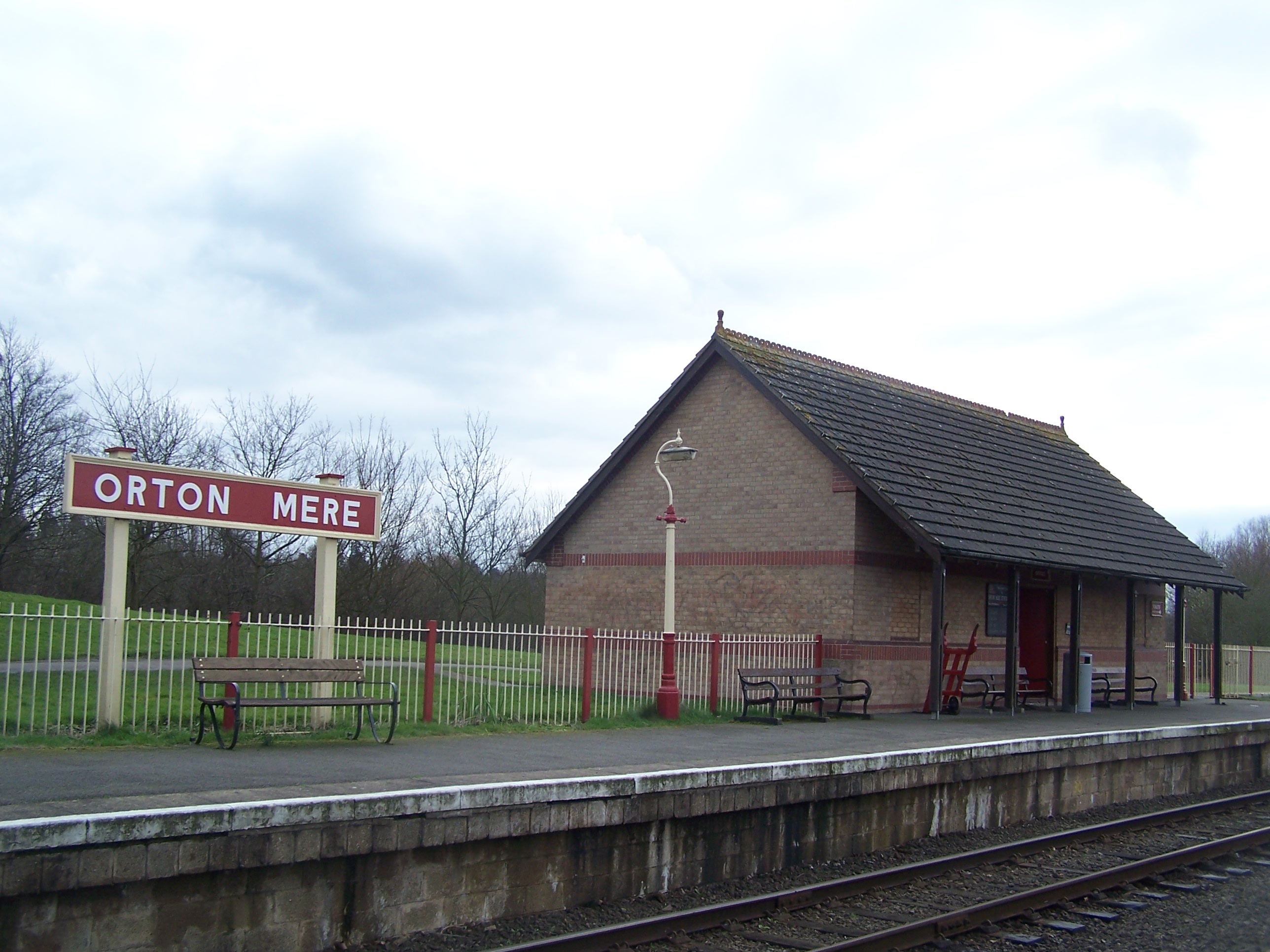
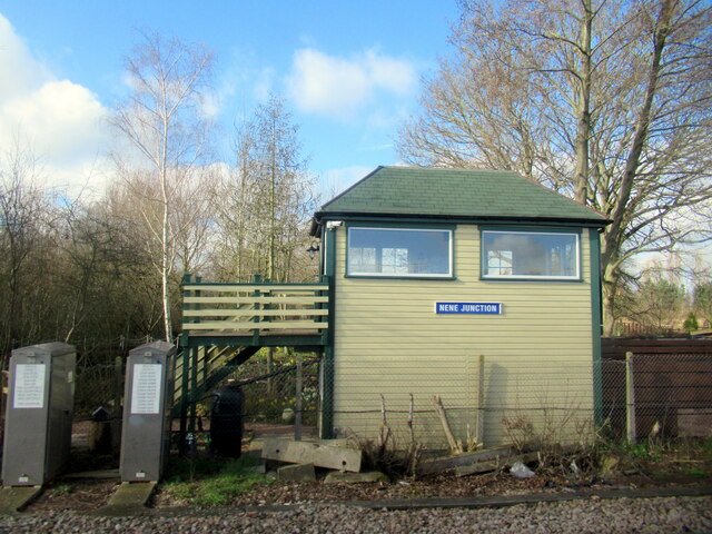
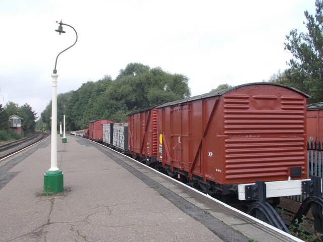
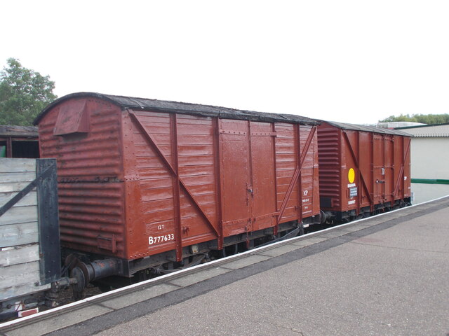
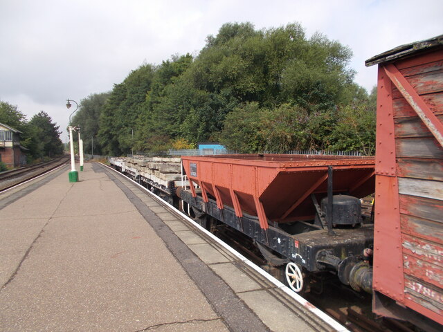
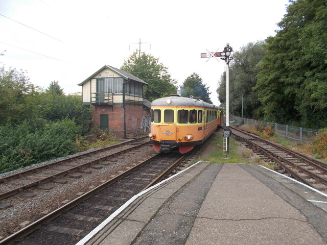
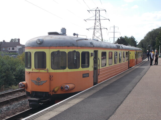
Orton Mere railway station

Orton Mere is a station on the Nene Valley Railway and is situated between Ferry Meadows and Peterborough Nene Valley, adjacent to the River Nene. Orton...
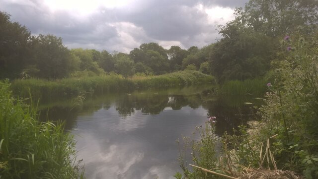
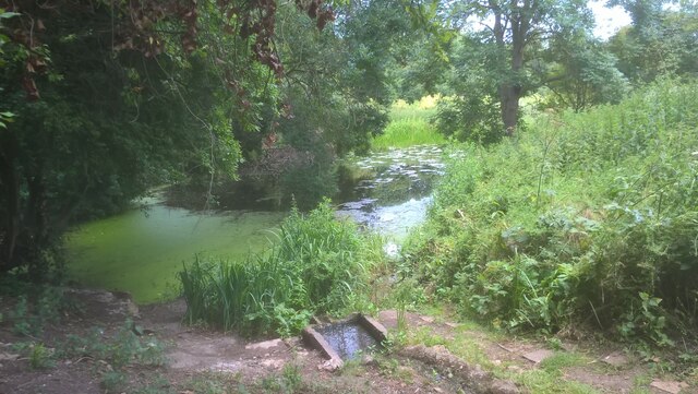
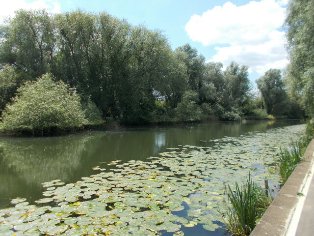
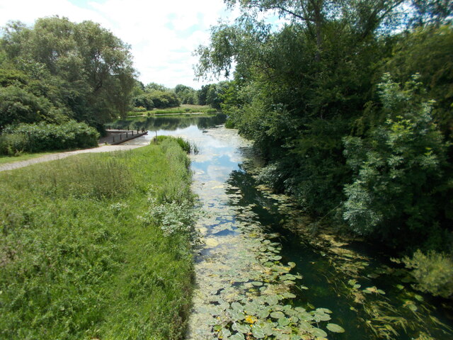
Woodston Ponds

Woodston Ponds is an 8.9 hectare Local Nature Reserve between the River Nene and the Nene Valley Railway in Peterborough in Cambridgeshire. It is managed...

Nearby Amenities

Located within 500m of 52.556808,-0.26482478
Traffic Signals
Source: Bing
Traffic Signals Direction: forward
Lat/Long: 52.556263/-0.2647148
Mini Roundabout
Lat/Long: 52.5534692/-0.2678387
Railway: crossing
Lat/Long: 52.558367/-0.258367
Crossing
Bicycle: yes
Crossing: unmarked
Kerb: lowered
Sloped Curb: yes
Source: Bing
Lat/Long: 52.5564429/-0.2615001
Crossing
Bicycle: yes
Crossing: traffic_signals
Crossing Ref: toucan
Kerb: lowered
Sloped Curb: yes
Lat/Long: 52.556309/-0.2647217
Crossing
Crossing: unmarked
Lat/Long: 52.5534979/-0.2682158
Crossing
Crossing: unmarked
Lat/Long: 52.5529925/-0.2638579
Post Box
Lat/Long: 52.5530957/-0.2639901
Post Office
Orton Longueville Post Office
Addr City: Peterborough
Addr Housenumber: 21A
Addr Postcode: PE2 7BG
Addr Street: Oakleigh Drive
Brand: Post Office
Brand Wikidata: Q1783168
Ref Pol Id: 7676
Website: https://www.postoffice.co.uk/branch-finder/2122308/orton-longueville
Lat/Long: 52.5573416/-0.266614
Power: tower
Lat/Long: 52.5562844/-0.2620481
Power: tower
Lat/Long: 52.5578837/-0.2618126
Power: tower
Lat/Long: 52.5598213/-0.2618633
Traffic Signals
Source: Bing
Traffic Signals Direction: forward
Lat/Long: 52.5607165/-0.2662996
Traffic Signals
Source: Bing
Traffic Signals Direction: backward
Lat/Long: 52.56056/-0.266924
Traffic Signals
Source: Bing
Traffic Signals Direction: forward
Lat/Long: 52.5604643/-0.266597
Traffic Signals
Source: Bing
Traffic Signals Direction: backward
Lat/Long: 52.5607817/-0.2668713
Crossing
Crossing: traffic_signals
Crossing Ref: pelican
Kerb: lowered
Sloped Curb: yes
Source: Bing
Lat/Long: 52.5605034/-0.2666307
Crossing
Crossing: traffic_signals
Crossing Ref: pelican
Kerb: lowered
Sloped Curb: yes
Source: Bing
Lat/Long: 52.5606885/-0.2664198
Crossing
Crossing: unmarked
Kerb: lowered
Sloped Curb: yes
Source: Bing
Lat/Long: 52.5549938/-0.2644608
Barrier: bollard
Lat/Long: 52.5549655/-0.2645504
Barrier: bollard
Lat/Long: 52.5563255/-0.2645794
Traffic Signals
Source: Bing
Traffic Signals Direction: backward
Lat/Long: 52.556361/-0.2647317
Bus Stop
Shrewsbury Avenue, Opposite Newcastle Drive
Bus: yes
Network: stagecoach
Operator: Stagecoach
Public Transport: platform
Lat/Long: 52.5571969/-0.2648082
Bus Stop
Shrewsbury Avenue, Adjacent Lansdown Walk
Bus: yes
Network: stagecoach
Operator: Stagecoach
Public Transport: platform
Shelter: yes
Lat/Long: 52.5593329/-0.265597
Bus Stop
Shrewsbury Avenue, Adjacent Oakleigh Drive
Bus: yes
Network: stagecoach
Operator: Stagecoach
Public Transport: platform
Shelter: yes
Lat/Long: 52.5572996/-0.2649392
Peterborough Cycle Hub
Addr City: Peterborough
Addr Housename: Unit 10 Botolph Bridge Trading Estate
Addr Postcode: PE2 9QP
Addr Street: Oundle Road
Note: I spoke to the owner of Greenwheel Cycles early summer 2019; closed down and company in liquidation.
Shop: bicycle
Source Name: https://www.peterboroughcyclehub.co.uk
Lat/Long: 52.5610047/-0.2622001
Street Lamp
Lat/Long: 52.5609925/-0.2649528
Street Lamp
Lat/Long: 52.553161/-0.2628995
Street Lamp
Lat/Long: 52.5604028/-0.2666402
Street Lamp
Lat/Long: 52.5608987/-0.265325
Shrewsbury Avenue, Adjacent Lansdown Walk
Bus: yes
Network: stagecoach
Operator: Stagecoach
Public Transport: stop_position
Lat/Long: 52.5593081/-0.2656874
Shrewsbury Avenue, Opposite Newcastle Drive
Bus: yes
Network: stagecoach
Operator: Stagecoach
Public Transport: stop_position
Lat/Long: 52.5571897/-0.2648749
Shrewsbury Avenue, Adjacent Oakleigh Drive
Bus: yes
Network: stagecoach
Operator: Stagecoach
Public Transport: stop_position
Lat/Long: 52.5573025/-0.2648944
Shrewsbury Avenue, Adjacent Wainman Road
Bus: yes
Network: stagecoach
Operator: Stagecoach
Public Transport: stop_position
Lat/Long: 52.5549164/-0.2644448
Evolution Taekwondo
Sport: taekwondo
Lat/Long: 52.5534883/-0.2641895
Street Lamp
Lat/Long: 52.5540248/-0.2643049
The Transformation Agency
Office: company
Lat/Long: 52.5536742/-0.2643907
Frank's Automotive Services
Service: repair
Shop: car_repair
Lat/Long: 52.5533643/-0.2640635
Cafe
Roundabout Cafe
Addr City: Peterborough
Addr Postcode: PE2 7BU
Outdoor Seating: yes
Lat/Long: 52.5531898/-0.2641815
Crossing
Crossing: unmarked
Lat/Long: 52.5540776/-0.2643505
Street Lamp
Lat/Long: 52.552778/-0.2635619
Street Lamp
Lat/Long: 52.552734/-0.2632535
Street Lamp
Lat/Long: 52.5525187/-0.2627901
Shrewsbury Avenue, Adjacent Wainman Road
Bus: yes
Network: Stagecoach
Operator: Stagecoach
Public Transport: stop_position
Lat/Long: 52.5550235/-0.2644669
Waste Basket
Waste: trash;plastic
Lat/Long: 52.554943/-0.2645449
Street Lamp
Lat/Long: 52.5548896/-0.2645429
Street Lamp
Lat/Long: 52.5547848/-0.2644967
Street Lamp
Lat/Long: 52.5551517/-0.2644256
Street Lamp
Lat/Long: 52.5564025/-0.2647823
Natural: tree_stump
Lat/Long: 52.5557885/-0.2647126
Street Lamp
Lat/Long: 52.5578571/-0.2647877
Street Lamp
Lat/Long: 52.5572068/-0.2648085
Street Lamp
Lat/Long: 52.5594983/-0.2658881
Shrewsbury Avenue, Adjacent Oakleigh Drive
Bus: yes
Network: Stagecoach
Operator: Stagecoach
Public Transport: stop_position
Lat/Long: 52.559541/-0.2658766
Man Made: street_cabinet
Lat/Long: 52.5603132/-0.2665801
Motorland
Shop: car
Lat/Long: 52.56104/-0.2666599
Street Lamp
Lat/Long: 52.5600959/-0.2664077
Generator Method: photovoltaic
Generator Output Electricity: yes
Generator Source: solar
Generator Type: solar_photovoltaic_panel
Location: roof
Power: generator
Lat/Long: 52.5602712/-0.2601267
Generator Method: photovoltaic
Generator Output Electricity: yes
Generator Source: solar
Generator Type: solar_photovoltaic_panel
Location: roof
Power: generator
Lat/Long: 52.5602745/-0.2602179
Generator Method: photovoltaic
Generator Output Electricity: yes
Generator Source: solar
Generator Type: solar_photovoltaic_panel
Location: roof
Power: generator
Lat/Long: 52.5602688/-0.2603627
Generator Method: photovoltaic
Generator Output Electricity: yes
Generator Source: solar
Generator Type: solar_photovoltaic_panel
Location: roof
Power: generator
Lat/Long: 52.5602712/-0.2604204
Generator Method: photovoltaic
Generator Output Electricity: yes
Generator Source: solar
Generator Type: solar_photovoltaic_panel
Location: roof
Power: generator
Lat/Long: 52.5602973/-0.2605666
Generator Method: photovoltaic
Generator Output Electricity: yes
Generator Source: solar
Generator Type: solar_photovoltaic_panel
Location: roof
Power: generator
Lat/Long: 52.5603218/-0.2606886
Generator Method: photovoltaic
Generator Output Electricity: yes
Generator Source: solar
Generator Type: solar_photovoltaic_panel
Location: roof
Power: generator
Lat/Long: 52.5603601/-0.2608603
Generator Method: photovoltaic
Generator Output Electricity: yes
Generator Source: solar
Generator Type: solar_photovoltaic_panel
Location: roof
Power: generator
Lat/Long: 52.5603723/-0.2610252
Generator Method: photovoltaic
Generator Output Electricity: yes
Generator Source: solar
Generator Type: solar_photovoltaic_panel
Location: roof
Power: generator
Lat/Long: 52.5603764/-0.2610976
Generator Method: photovoltaic
Generator Output Electricity: yes
Generator Source: solar
Generator Type: solar_photovoltaic_panel
Location: roof
Power: generator
Lat/Long: 52.5603813/-0.2611915
Generator Method: photovoltaic
Generator Output Electricity: yes
Generator Source: solar
Generator Type: solar_photovoltaic_panel
Location: roof
Power: generator
Lat/Long: 52.5605672/-0.261164
Generator Method: photovoltaic
Generator Output Electricity: yes
Generator Source: solar
Generator Type: solar_photovoltaic_panel
Location: roof
Power: generator
Lat/Long: 52.5605607/-0.2607805
Generator Method: photovoltaic
Generator Output Electricity: yes
Generator Source: solar
Generator Type: solar_photovoltaic_panel
Location: roof
Power: generator
Lat/Long: 52.5605916/-0.2609307
Generator Method: photovoltaic
Generator Output Electricity: yes
Generator Source: solar
Generator Type: solar_photovoltaic_panel
Location: roof
Power: generator
Lat/Long: 52.5605957/-0.260983
Bus Stop
Shrewsbury Avenue, Adjacent Oakleigh Drive
Bus: yes
Naptan AtcoCode: 0590POL122
Naptan NaptanCode: PETGDGM
Operator: Stagecoach
Public Transport: platform
Shelter: yes
Lat/Long: 52.5595602/-0.2659199
Bus Stop
Shrewsbury Avenue, Adjacent Wainman Road
Naptan AtcoCode: 0590POL127
Naptan NaptanCode: PETGJTD
Operator: Stagecoach
Shelter: yes
Lat/Long: 52.5550232/-0.2644327
Bus Stop
Shrewsbury Avenue, Adjacent Wainman Road
Naptan AtcoCode: 0590POL126
Naptan NaptanCode: PETGMPW
Operator: Stagecoach
Shelter: yes
Lat/Long: 52.554938/-0.2645221
Generator Method: photovoltaic
Generator Output Electricity: yes
Generator Source: solar
Generator Type: solar_photovoltaic_panel
Location: roof
Power: generator
Lat/Long: 52.5571184/-0.2661422
Generator Method: photovoltaic
Generator Output Electricity: yes
Generator Source: solar
Generator Type: solar_photovoltaic_panel
Location: roof
Power: generator
Lat/Long: 52.5573989/-0.2657694
Generator Method: photovoltaic
Generator Output Electricity: yes
Generator Source: solar
Generator Type: solar_photovoltaic_panel
Location: roof
Power: generator
Lat/Long: 52.5580919/-0.2654985
Generator Method: photovoltaic
Generator Output Electricity: yes
Generator Source: solar
Generator Type: solar_photovoltaic_panel
Location: roof
Power: generator
Lat/Long: 52.5577707/-0.2657372
Generator Method: photovoltaic
Generator Output Electricity: yes
Generator Source: solar
Generator Type: solar_photovoltaic_panel
Location: roof
Power: generator
Lat/Long: 52.5554045/-0.2712438
Generator Method: photovoltaic
Generator Output Electricity: yes
Generator Source: solar
Generator Type: solar_photovoltaic_panel
Location: roof
Power: generator
Lat/Long: 52.5569912/-0.268988
Generator Method: photovoltaic
Generator Output Electricity: yes
Generator Source: solar
Generator Type: solar_photovoltaic_panel
Location: roof
Power: generator
Lat/Long: 52.5565966/-0.2695647
Generator Method: photovoltaic
Generator Output Electricity: yes
Generator Source: solar
Generator Type: solar_photovoltaic_panel
Location: roof
Power: generator
Lat/Long: 52.5565966/-0.2695218
Generator Method: photovoltaic
Generator Output Electricity: yes
Generator Source: solar
Generator Type: solar_photovoltaic_panel
Location: roof
Power: generator
Lat/Long: 52.5567564/-0.2672446
Generator Method: photovoltaic
Generator Output Electricity: yes
Generator Source: solar
Generator Type: solar_photovoltaic_panel
Location: roof
Power: generator
Lat/Long: 52.5567433/-0.2675182
Generator Method: photovoltaic
Generator Output Electricity: yes
Generator Source: solar
Generator Type: solar_photovoltaic_panel
Location: roof
Power: generator
Lat/Long: 52.5567189/-0.2677676
Generator Method: photovoltaic
Generator Output Electricity: yes
Generator Source: solar
Generator Type: solar_photovoltaic_panel
Location: roof
Power: generator
Lat/Long: 52.5561171/-0.2680841
Generator Method: photovoltaic
Generator Output Electricity: yes
Generator Source: solar
Generator Type: solar_photovoltaic_panel
Location: roof
Power: generator
Lat/Long: 52.5551974/-0.2678803
Generator Method: photovoltaic
Generator Output Electricity: yes
Generator Source: solar
Generator Type: solar_photovoltaic_panel
Location: roof
Power: generator
Lat/Long: 52.5550245/-0.2672258
Generator Method: photovoltaic
Generator Output Electricity: yes
Generator Source: solar
Generator Type: solar_photovoltaic_panel
Location: roof
Power: generator
Lat/Long: 52.5529126/-0.2674565
Generator Method: photovoltaic
Generator Output Electricity: yes
Generator Source: solar
Generator Type: solar_photovoltaic_panel
Location: roof
Power: generator
Lat/Long: 52.5549201/-0.2672124
Generator Method: photovoltaic
Generator Output Electricity: yes
Generator Source: solar
Generator Type: solar_photovoltaic_panel
Location: roof
Power: generator
Lat/Long: 52.5543608/-0.2676201
Generator Method: photovoltaic
Generator Output Electricity: yes
Generator Source: solar
Generator Type: solar_photovoltaic_panel
Location: roof
Power: generator
Lat/Long: 52.5567221/-0.271064
Generator Method: photovoltaic
Generator Output Electricity: yes
Generator Source: solar
Generator Type: solar_photovoltaic_panel
Location: roof
Power: generator
Lat/Long: 52.5567074/-0.2710184
Generator Method: photovoltaic
Generator Output Electricity: yes
Generator Source: solar
Generator Type: solar_photovoltaic_panel
Location: roof
Power: generator
Lat/Long: 52.5560943/-0.2671722
Generator Method: photovoltaic
Generator Output Electricity: yes
Generator Source: solar
Generator Type: solar_photovoltaic_panel
Location: roof
Power: generator
Lat/Long: 52.5551762/-0.2689505
Generator Method: photovoltaic
Generator Output Electricity: yes
Generator Source: solar
Generator Type: solar_photovoltaic_panel
Location: roof
Power: generator
Lat/Long: 52.5563731/-0.2593347
Generator Method: photovoltaic
Generator Output Electricity: yes
Generator Source: solar
Generator Type: solar_photovoltaic_panel
Location: roof
Power: generator
Lat/Long: 52.5563226/-0.2588278
Generator Method: photovoltaic
Generator Output Electricity: yes
Generator Source: solar
Generator Type: solar_photovoltaic_panel
Location: roof
Power: generator
Lat/Long: 52.5577755/-0.2710694
Generator Method: photovoltaic
Generator Output Electricity: yes
Generator Source: solar
Generator Type: solar_photovoltaic_panel
Location: roof
Power: generator
Lat/Long: 52.5578326/-0.271107
Generator Method: photovoltaic
Generator Output Electricity: yes
Generator Source: solar
Generator Type: solar_photovoltaic_panel
Location: roof
Power: generator
Lat/Long: 52.5571624/-0.2709165
Generator Method: photovoltaic
Generator Output Electricity: yes
Generator Source: solar
Generator Type: solar_photovoltaic_panel
Location: roof
Power: generator
Lat/Long: 52.5569178/-0.2707073
Generator Method: photovoltaic
Generator Output Electricity: yes
Generator Source: solar
Generator Type: solar_photovoltaic_panel
Location: roof
Power: generator
Lat/Long: 52.5583055/-0.2694896
Generator Method: photovoltaic
Generator Output Electricity: yes
Generator Source: solar
Generator Type: solar_photovoltaic_panel
Location: roof
Power: generator
Lat/Long: 52.558418/-0.2693447
Generator Method: photovoltaic
Generator Output Electricity: yes
Generator Source: solar
Generator Type: solar_photovoltaic_panel
Location: roof
Power: generator
Lat/Long: 52.559641/-0.2689692
Generator Method: photovoltaic
Generator Output Electricity: yes
Generator Source: solar
Generator Type: solar_photovoltaic_panel
Location: roof
Power: generator
Lat/Long: 52.5596459/-0.2690363
Noexit: yes
Lat/Long: 52.5606732/-0.261637
Barrier: yes
Lat/Long: 52.5560615/-0.2642357
Power: transformer
Lat/Long: 52.5564275/-0.2622349
The data included in this document is from www.openstreetmap.org. The data is made available under ODbL.

Have you been to Orton Longueville?

Leave your review of Orton Longueville below (or comments, questions and feedback).