Beeslack

Settlement in Midlothian

Scotland

Beeslack

River North Esk at Valleyfield, Penicuik Looking upstream where the river bends on its way alongside the housing development at Valleyfield, a former mill site.
River North Esk at Valleyfield, Penicuik Credit: Jim Barton

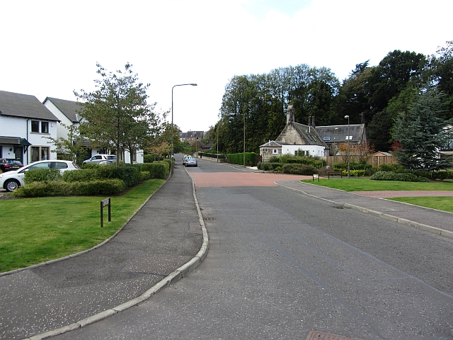
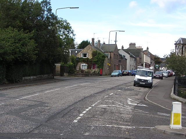
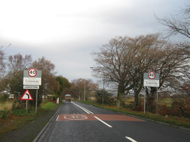
Beeslack is a small village located in the county of Midlothian, Scotland. Situated about 11 miles south of Edinburgh, it lies within the picturesque Pentland Hills Regional Park. With a population of around 1,500 residents, Beeslack offers a close-knit community atmosphere.

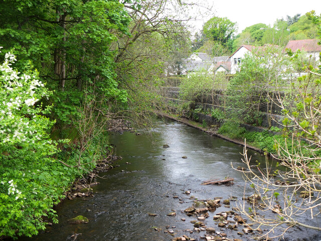
The village is known for its stunning natural surroundings, providing excellent opportunities for outdoor activities such as hiking, cycling, and horse riding. The Pentland Hills, which encircle Beeslack, offer breathtaking views and a peaceful escape from the hustle and bustle of city life.

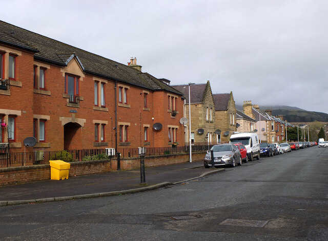
Beeslack has a rich history, dating back to Roman times, and evidence of ancient settlements can still be found in the area. The village itself has a charming mix of traditional and modern architecture, with quaint cottages and more contemporary houses.

In terms of amenities, Beeslack boasts a primary school, a local shop, and a community center that hosts various events and activities throughout the year. For secondary education, students typically attend nearby Penicuik High School. Public transportation links to surrounding areas and Edinburgh are readily available, making commuting relatively convenient.

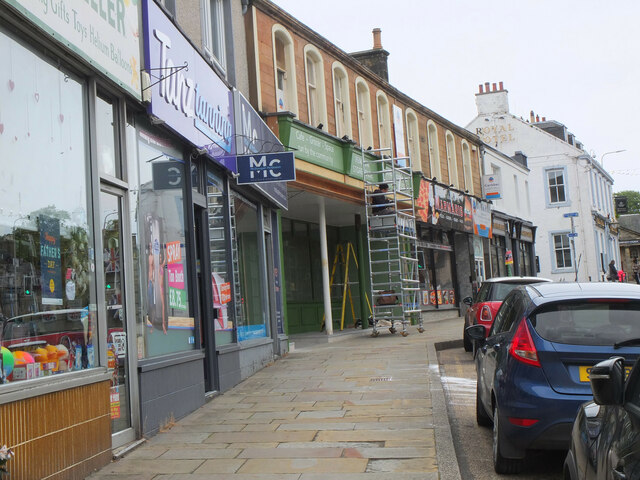
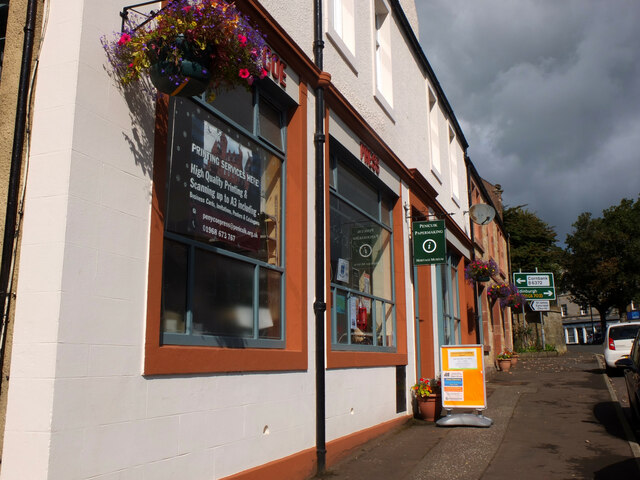
The village benefits from its close proximity to major road networks, including the A702 and the A701, allowing easy access to nearby towns and cities. Additionally, the nearby village of Penicuik offers a wider range of amenities, including supermarkets, shops, and leisure facilities.

Overall, Beeslack provides its residents with a peaceful and idyllic setting while still offering convenient access to urban amenities. Its natural beauty and strong community spirit make it an appealing place to live for those seeking a tranquil and close-knit village lifestyle.

If you have any feedback on the listing, please let us know in the comments section below.
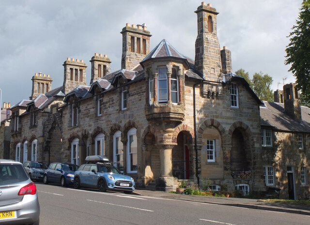
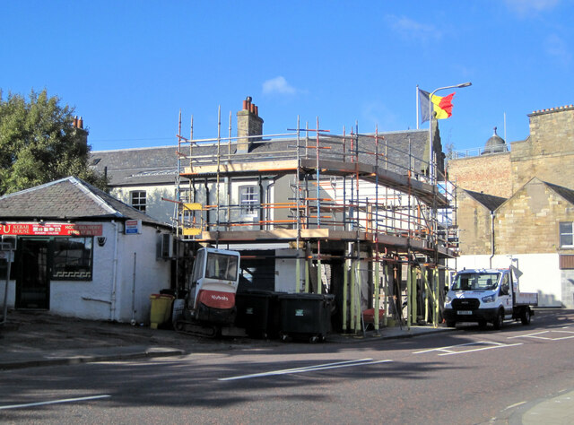
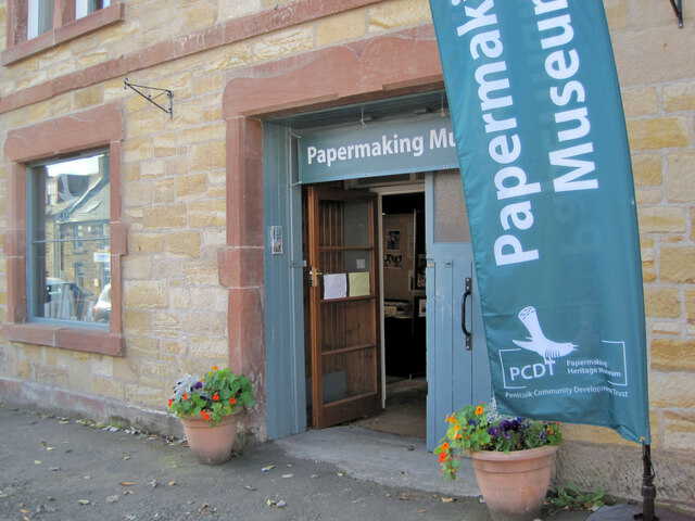
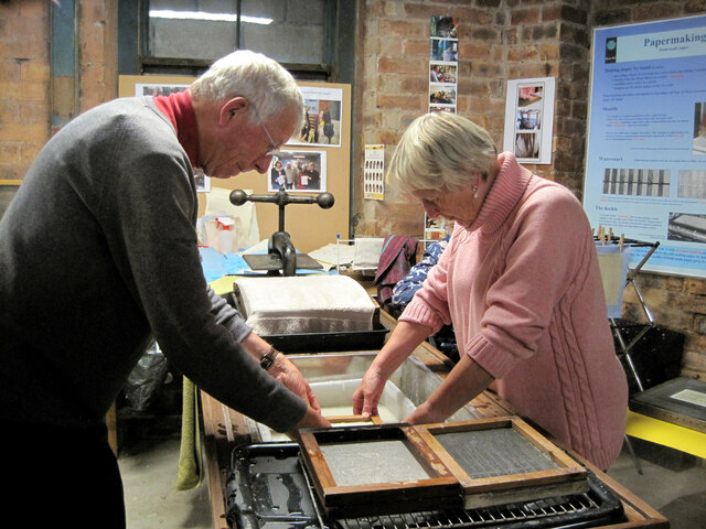
Beeslack Images

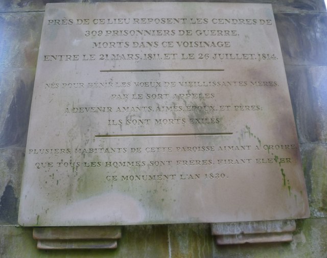
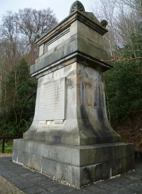
Images are sourced within 2km of 55.840342/-3.21197 or Grid Reference NT2461. Thanks to Geograph Open Source API. All images are credited.

River North Esk at Valleyfield, Penicuik Looking upstream where the river bends on its way alongside the housing development at Valleyfield, a former mill site.
River North Esk at Valleyfield, Penicuik
Looking upstream where the river bends on its way alongside the housing development at Valleyfield, a former mill site.
Shopfront refurbishment, Penicuik High Street The Penicuik Storehouse undergoing renovation as part of a programme to improve the appearance of shops in the town.
Shopfront refurbishment, Penicuik High Street
The Penicuik Storehouse undergoing renovation as part of a programme to improve the appearance of shops in the town.
Vaucluse Place, Penicuik A block of flats in Jackson Street.
Vaucluse Place, Penicuik
A block of flats in Jackson Street.
Pen-y-Coe Press, Penicuik A long-established stationery and printing shop with an adjoining museum of papermaking in Bridge Street. In the early 19th century Penicuik became an important centre for papermaking, with mills along the River North Esk.
Pen-y-Coe Press, Penicuik
A long-established stationery and printing shop with an adjoining museum of papermaking in Bridge Street. In the early 19th century Penicuik became an important centre for papermaking, with mills along the River North Esk.
Parkend, Penicuik A striking corner terrace by the architect Thomas Pilkington c. 1860. He also designed the nearby Penicuik South Kirk and terraced cottages in the mill village of Walkerburn - see <a href="https://www.geograph.org.uk/photo/2231809">NT3537 : Millworkers' cottages, Walkerburn</a>.
Parkend, Penicuik
A striking corner terrace by the architect Thomas Pilkington c. 1860. He also designed the nearby Penicuik South Kirk and terraced cottages in the mill village of Walkerburn - see NT3537 : Millworkers' cottages, Walkerburn.
Demolition and rebuilding, Penicuik Old premises on Bridge Street are being demolished and construction appears to be the next step. The flag is flying from the Belgian Consulate on the corner with West Street - see also <a href="https://www.geograph.org.uk/photo/3332421">NT2359 : Belgian Consulate, Penicuik</a>.
Demolition and rebuilding, Penicuik
Old premises on Bridge Street are being demolished and construction appears to be the next step. The flag is flying from the Belgian Consulate on the corner with West Street - see also NT2359 : Belgian Consulate, Penicuik.
Papermaking Museum, Penicuik The museum is next door to the Pen-y-Coe Press on Bridge Street.  It is currently open on Saturday afternoons or at other times by arrangement for groups and entry is free. See the museum's website at <span class="nowrap"><a title="https://penicuikcdt.co.uk/index.php/penicuik-papermaking-heritage-museum/" rel="nofollow ugc noopener" href="https://penicuikcdt.co.uk/index.php/penicuik-papermaking-heritage-museum/">Link</a><img style="margin-left:2px;" alt="External link" title="External link - shift click to open in new window" src="https://s1.geograph.org.uk/img/external.png" width="10" height="10"/></span>.
Papermaking Museum, Penicuik
The museum is next door to the Pen-y-Coe Press on Bridge Street. It is currently open on Saturday afternoons or at other times by arrangement for groups and entry is free. See the museum's website at LinkExternal link.
Making paper by hand (1) Visitors to the Papermaking Museum at Penicuik have a chance to help make a sheet of paper. Pulp is caught on a rectangular mesh and carefully removed and transferred to the screw press to squeeze out the excess water.
Making paper by hand (1)
Visitors to the Papermaking Museum at Penicuik have a chance to help make a sheet of paper. Pulp is caught on a rectangular mesh and carefully removed and transferred to the screw press to squeeze out the excess water.
Making paper by hand (2) The process of making a sheet of paper from pulp being demonstrated at the Papermaking Museum, Penicuik. The sheet is being separated from its carrying cloth and is ready for drying.
Making paper by hand (2)
The process of making a sheet of paper from pulp being demonstrated at the Papermaking Museum, Penicuik. The sheet is being separated from its carrying cloth and is ready for drying.
Printing press demonstration A small press being demonstrated at the Papermaking Museum, Penicuik. The gear wheel carries the makers name 'Josiah Wade Ltd Halifax Eng.' It can be powered by a belt drive or, as here, by the treadle. Cases carrying the type letters can be seen to the right.
Printing press demonstration
A small press being demonstrated at the Papermaking Museum, Penicuik. The gear wheel carries the makers name 'Josiah Wade Ltd Halifax Eng.' It can be powered by a belt drive or, as here, by the treadle. Cases carrying the type letters can be seen to the right.
French PoWs Memorial at Valleyfield A substantial monument built in 1830 to mark and commemorate the burial place of 309 French prisoners of war who died in captivity at Penicuik between 1811 and 1814. It was paid for by Alexander Cowan, owner of the Valleyfield Mill which was used as one of the 'prisoner depots' of the Napoleonic Wars and stood near the spot where the monument stands. A local watchmaker contributed five shillings, allowing the inscription to state that it had been erected by "certain inhabitants of this parish". Cowan was responsible for the inscribed sentiment that enjoins us to "Remember That All Men Are Brethren".

<a href="https://www.geograph.org.uk/photo/2326591">NT2359 : French PoWs Memorial at Valleyfield</a>
French PoWs Memorial at Valleyfield
A substantial monument built in 1830 to mark and commemorate the burial place of 309 French prisoners of war who died in captivity at Penicuik between 1811 and 1814. It was paid for by Alexander Cowan, owner of the Valleyfield Mill which was used as one of the 'prisoner depots' of the Napoleonic Wars and stood near the spot where the monument stands. A local watchmaker contributed five shillings, allowing the inscription to state that it had been erected by "certain inhabitants of this parish". Cowan was responsible for the inscribed sentiment that enjoins us to "Remember That All Men Are Brethren". NT2359 : French PoWs Memorial at Valleyfield
French PoWs Memorial - English inscription The Latin sentence is a quotation of the Roman poet Sannazarius, suggested by Sir Walter Scott:
"Pleasing it is to lie at rest in one's own country, but all the world is a tomb."
French PoWs Memorial - English inscription
The Latin sentence is a quotation of the Roman poet Sannazarius, suggested by Sir Walter Scott: "Pleasing it is to lie at rest in one's own country, but all the world is a tomb."
French PoWs Memorial - French inscription The French poet, Alphonse de Lamartine, contributed the lines:

"Born to bless the marriage vows of mothers growing old.
Called away by Fate,
To become lovers, loved, spouses and fathers,
They died in exile."
French PoWs Memorial - French inscription
The French poet, Alphonse de Lamartine, contributed the lines: "Born to bless the marriage vows of mothers growing old. Called away by Fate, To become lovers, loved, spouses and fathers, They died in exile."
French PoWs Memorial at Valleyfield "The uniform quiet of a country parish was, in the case of Penicuik, interrupted about the year 1810, by its extensive paper manufactories being turned by Government into depôts for prisoners of war, and the peaceful cottages attached to them into barracks for the military necessarily required. The paper-mills of Valleyfield were on that occasion fitted up for the reception of 6000 prisoners, whilst those of Eskmills, then used as a cotton manufactory, accommodated 1500 British soldiers. This occurrence could not fail to produce results very unfavourable to the social and religious well-being of the parishioners. The peaceful artisan gave place to the soldier; and the din of a camp, with its attendant irregularities, prevailed where formerly nothing had interrupted the orderly occupations and Sabbath solemnities of a Scottish village. This circumstance gave, however, unusual life and activity to the place, and enriched some of its inhabitants; but it may be doubted, if it proved in any way advantageous to their moral habits and religious feelings; nor perhaps, have the unfavourable effects then produced on these latter, even now quite disappeared. On the close of the war, however, in the year 1814, the mills happily returned to their former proprietors and purposes,—an event which was hailed by the inhabitants with a general illumination, and other demonstrations of their heartfelt joy. The only memory which now remains of the residence of so many warlike strangers, is a very chaste and appropriate monument erected by the proprietor of Valleyfield mill, over the remains of upwards of 300 prisoners of war, who were interred in a beautiful spot amidst his grounds. The design was furnished by Hamilton, and bears, after recording the purpose for which it was erected, the following line from the elegant but little known Sanazarius suggested by Sir Walter Scott: 'Grata quies patriæ, sed, et omnis terra sepulchrum.' Underneath is this simple addition, 'Certain inhabitants of this parish, desiring to remember that all men are brethren, caused this monument to be erected.' "
-- New Statistical Account, 1845

<a href="https://www.geograph.org.uk/photo/2326580">NT2359 : French PoWs Memorial at Valleyfield</a>
French PoWs Memorial at Valleyfield
"The uniform quiet of a country parish was, in the case of Penicuik, interrupted about the year 1810, by its extensive paper manufactories being turned by Government into depôts for prisoners of war, and the peaceful cottages attached to them into barracks for the military necessarily required. The paper-mills of Valleyfield were on that occasion fitted up for the reception of 6000 prisoners, whilst those of Eskmills, then used as a cotton manufactory, accommodated 1500 British soldiers. This occurrence could not fail to produce results very unfavourable to the social and religious well-being of the parishioners. The peaceful artisan gave place to the soldier; and the din of a camp, with its attendant irregularities, prevailed where formerly nothing had interrupted the orderly occupations and Sabbath solemnities of a Scottish village. This circumstance gave, however, unusual life and activity to the place, and enriched some of its inhabitants; but it may be doubted, if it proved in any way advantageous to their moral habits and religious feelings; nor perhaps, have the unfavourable effects then produced on these latter, even now quite disappeared. On the close of the war, however, in the year 1814, the mills happily returned to their former proprietors and purposes,—an event which was hailed by the inhabitants with a general illumination, and other demonstrations of their heartfelt joy. The only memory which now remains of the residence of so many warlike strangers, is a very chaste and appropriate monument erected by the proprietor of Valleyfield mill, over the remains of upwards of 300 prisoners of war, who were interred in a beautiful spot amidst his grounds. The design was furnished by Hamilton, and bears, after recording the purpose for which it was erected, the following line from the elegant but little known Sanazarius suggested by Sir Walter Scott: 'Grata quies patriæ, sed, et omnis terra sepulchrum.' Underneath is this simple addition, 'Certain inhabitants of this parish, desiring to remember that all men are brethren, caused this monument to be erected.' " -- New Statistical Account, 1845 NT2359 : French PoWs Memorial at Valleyfield
Valleyfield Road, Penicuik Once this road served industry along the North Esk, now replaced by housing.
Valleyfield Road, Penicuik
Once this road served industry along the North Esk, now replaced by housing.
Bridge Street, Penicuik The A701 leaving the centre of Penicuik.
Bridge Street, Penicuik
The A701 leaving the centre of Penicuik.
Entrance to Loanstone
Paths by the North Esk, Valleyfield The path and cycleway on the old Penicuik railway line has almost reached the terminus at Valleyfield, site of the old Penicuik station - see <span class="nowrap"><a title="http://www.disused-stations.org.uk/p/penicuik/index.shtml" rel="nofollow ugc noopener" href="http://www.disused-stations.org.uk/p/penicuik/index.shtml">Link</a><img style="margin-left:2px;" alt="External link" title="External link - shift click to open in new window" src="https://s1.geograph.org.uk/img/external.png" width="10" height="10"/></span> for much more detail of its history. 

The path to the right keeps closer to the North Esk, rejoining the railway route near the new housing development at Eskmill.
Paths by the North Esk, Valleyfield
The path and cycleway on the old Penicuik railway line has almost reached the terminus at Valleyfield, site of the old Penicuik station - see LinkExternal link for much more detail of its history. The path to the right keeps closer to the North Esk, rejoining the railway route near the new housing development at Eskmill.
Show me another place!

Beeslack is located at Grid Ref: NT2461 (Lat: 55.840342, Lng: -3.21197)

Unitary Authority: Midlothian

Police Authority: The Lothians and Scottish Borders

What 3 Words

///camera.feathers.momentous. Near Penicuik, Midlothian

Related Wikis

Glencorse railway station

Glencorse railway station served the parish of Glencorse, Midlothian, Scotland, from 1877 to 1959 on the Edinburgh, Loanhead and Roslin Railway. ��2�...
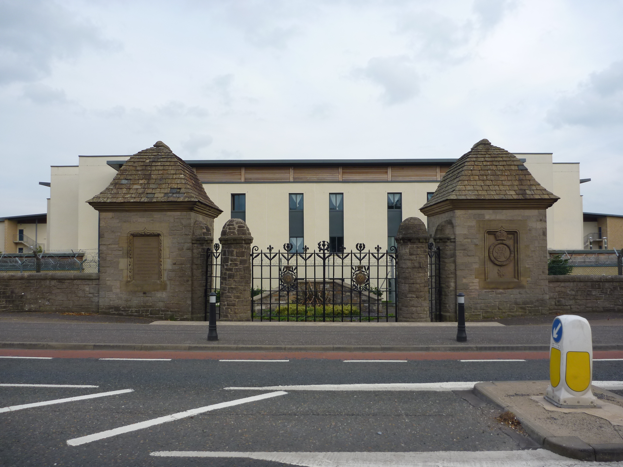
Glencorse Barracks

Glencorse Barracks is a British Army barracks situated in Glencorse just outside the town of Penicuik in Midlothian, Scotland. It is one of the three barracks...

Mauricewood Colliery disaster

The Mauricewood Colliery Disaster, occurred at the Mauricewood pit, near Penicuik, Midlothian, Scotland on 5 September 1889. A total of 63 miners were...

Auchendinny railway station

Auchendinny railway station was a station which served Auchendinny, in the Scottish county of Midlothian. It was served by trains on the branch line that...

Nearby Amenities

Located within 500m of 55.840342,-3.21197
Traffic Signals
Traffic Signals: signal
Lat/Long: 55.8389134/-3.216798
Traffic Calming: hump
Lat/Long: 55.8369491/-3.2154274
Traffic Calming: hump
Lat/Long: 55.8373234/-3.2152491
Traffic Calming: hump
Lat/Long: 55.8378611/-3.2143854
Traffic Calming: cushion
Lat/Long: 55.8379679/-3.2129323
Traffic Calming: cushion
Lat/Long: 55.8376683/-3.2118533
Traffic Calming: cushion
Lat/Long: 55.8375011/-3.211325
Post Box
Collection Times: Mo-Fr 17:15; Sa 12:00
Post Box Mounting: lamp_post
Post Box Type: lamp
Ref: EH26 196
Source: survey
Lat/Long: 55.8370497/-3.21004
Entrance: main
Lat/Long: 55.8368395/-3.2122418
Turning Circle
Lat/Long: 55.8430028/-3.2163137
Traffic Calming: hump
Lat/Long: 55.8419667/-3.2183858
Traffic Calming: hump
Lat/Long: 55.8411998/-3.2195016
Bus Stop
Mauricewood Road
Bench: no
Bus: yes
Naptan AdministrativeAreaCode: 130
Naptan Area Name: Midlothian
Naptan AtcoAreaCode: 628
Naptan AtcoCode: 6280302280
Naptan Bearing: SW
Naptan CommonName: Mauricewood Road
Naptan Indicator: opp
Naptan Landmark: -
Naptan LocalityName: Mauricewood
Naptan NaptanCode: 64324346
Naptan NptgLocalityCode: N0071919
Naptan SourceLocalityType: Add
Naptan StopAreaCode: 628G325490
Naptan StopAreaType: GPBS
Naptan StopArea Name: Mauricewood Road
Naptan Street: Edinburgh Road
Naptan Verified: yes
Public Transport: platform
Shelter: yes
Source: NaPTAN + Survey
Lat/Long: 55.8386453/-3.217135
Bus Stop
Mauricewood Road
Bus: yes
Naptan AdministrativeAreaCode: 130
Naptan Area Name: Midlothian
Naptan AtcoAreaCode: 628
Naptan AtcoCode: 6280325490
Naptan Bearing: NE
Naptan CommonName: Mauricewood Road
Naptan Indicator: at
Naptan Landmark: -
Naptan LocalityName: Mauricewood
Naptan NaptanCode: 64324347
Naptan NptgLocalityCode: N0071919
Naptan SourceLocalityType: Add
Naptan StopAreaCode: 628G325490
Naptan StopAreaType: GPBS
Naptan StopArea Name: Mauricewood Road
Naptan Street: Edinburgh Road
Naptan Verified: yes
Public Transport: platform
Shelter: yes
Source: NaPTAN + Survey
Lat/Long: 55.8392223/-3.216367
Bus Stop
Mauricewood Avenue
Bus: yes
Naptan AtcoCode: 6280302275
Naptan Bearing: SE
Naptan CommonName: Mauricewood Avenue
Naptan Indicator: opp
Naptan NaptanCode: 64324648
Naptan Street: Mauricewood Road
Public Transport: platform
Ref: 6280302275
Source: NaPTAN
Stop Code: 64324648
Lat/Long: 55.8395689/-3.2183853
Bus Stop
Beeslack High School
Bus: yes
Naptan AdministrativeAreaCode: 130
Naptan Area Name: Midlothian
Naptan AtcoAreaCode: 628
Naptan AtcoCode: 6280302170
Naptan Bearing: SW
Naptan CommonName: Beeslack High School
Naptan Indicator: near
Naptan Landmark: Beeslack High School
Naptan LocalityName: Mauricewood
Naptan NaptanCode: 64324272
Naptan NptgLocalityCode: N0071919
Naptan SourceLocalityType: Add
Naptan StopAreaCode: 628G302170
Naptan StopAreaType: GPBS
Naptan StopArea Name: Beeslack High School
Naptan Street: Edinburgh Road
Naptan Verified: yes
Public Transport: platform
Shelter: yes
Source: NaPTAN + Survey
Lat/Long: 55.8403935/-3.2134409
Give Way
Lat/Long: 55.8378266/-3.2146642
Addr Housenumber: 15 - 20
Addr Street: Vorlich Crescent
Lat/Long: 55.837689/-3.2112424
Bus Stop
Yarrow Court
Bus: yes
Naptan AdministrativeAreaCode: 130
Naptan Area Name: Midlothian
Naptan AtcoAreaCode: 628
Naptan AtcoCode: 6280325370
Naptan Bearing: NW
Naptan CommonName: Yarrow Court
Naptan Indicator: at
Naptan Landmark: -
Naptan LocalityName: Ladywood
Naptan NaptanCode: 64324385
Naptan NptgLocalityCode: N0071918
Naptan QualifierName: Penicuik
Naptan SourceLocalityType: Add
Naptan Street: Eskvale Drive
Naptan Verified: yes
Public Transport: platform
Source: NaPTAN + Survey
Lat/Long: 55.8379595/-3.2130669
Bus Stop
Wyvis Park
Bus: yes
Naptan AdministrativeAreaCode: 130
Naptan Area Name: Midlothian
Naptan AtcoAreaCode: 628
Naptan AtcoCode: 6280325360
Naptan Bearing: NW
Naptan CommonName: Wyvis Park
Naptan Indicator: at
Naptan Landmark: -
Naptan LocalityName: Ladywood
Naptan NaptanCode: 64324384
Naptan NptgLocalityCode: N0071918
Naptan QualifierName: Penicuik
Naptan SourceLocalityType: Add
Naptan Street: Eskvale Drive
Naptan Verified: yes
Public Transport: platform
Shelter: yes
Source: NaPTAN + Survey
Lat/Long: 55.8371455/-3.2104395
Addr Housenumber: 4-7
Lat/Long: 55.8372472/-3.2097991
Addr Housenumber: 8 - 13
Addr Street: Lawers Square
Lat/Long: 55.8374884/-3.2096417
Post Box
Collection Times: Mo-Fr 16:45; Sa 12:00
Ref: EH26 130
Lat/Long: 55.8390603/-3.2176393
Maurice Colliery disaster memorial
Designation: mining monument
Historic: monument
Lat/Long: 55.8396012/-3.2178461
wpt-2013-01-19T15:50:09.000Z
Barrier: cycle_barrier
Bicycle: yes
Ele: 96
Foot: yes
Sym: Small City
Time: 2013-01-19T15:50:09Z
Lat/Long: 55.8386717/-3.204918
Bus Stop
Teviot Grove
Bus: yes
Naptan AdministrativeAreaCode: 130
Naptan Area Name: Midlothian
Naptan AtcoAreaCode: 628
Naptan AtcoCode: 6280325380
Naptan Bearing: S
Naptan CommonName: Teviot Grove
Naptan Indicator: opp
Naptan Landmark: -
Naptan LocalityName: Ladywood
Naptan NaptanCode: 64324294
Naptan NptgLocalityCode: N0071918
Naptan QualifierName: Penicuik
Naptan SourceLocalityType: Add
Naptan Street: Eskvale Drive
Naptan Verified: yes
Public Transport: platform
Shelter: yes
Source: NaPTAN + Survey
Lat/Long: 55.8367937/-3.2154083
Bus Stop
Samoa Terrace
Bin: yes
Bus: yes
Naptan AdministrativeAreaCode: 130
Naptan Area Name: Midlothian
Naptan AtcoAreaCode: 628
Naptan AtcoCode: 6280325505
Naptan Bearing: NE
Naptan CommonName: Samoa Terrace
Naptan Indicator: near
Naptan Landmark: -
Naptan LocalityName: Mauricewood
Naptan NaptanCode: 64324372
Naptan NptgLocalityCode: N0071919
Naptan SourceLocalityType: Add
Naptan StopAreaCode: 628G325505
Naptan StopAreaType: GPBS
Naptan StopArea Name: Samoa Terrace
Naptan Street: A701
Naptan Verified: yes
Public Transport: platform
Shelter: yes
Source: NaPTAN + Survey
Lat/Long: 55.842835/-3.209111
Bus Stop
Nevis Gardens
Bus: yes
Naptan AdministrativeAreaCode: 130
Naptan Area Name: Midlothian
Naptan AtcoAreaCode: 628
Naptan AtcoCode: 6280325350
Naptan Bearing: NW
Naptan CommonName: Nevis Gardens
Naptan Indicator: at
Naptan Landmark: -
Naptan LocalityName: Ladywood
Naptan NaptanCode: 64324353
Naptan NptgLocalityCode: N0071918
Naptan QualifierName: Penicuik
Naptan SourceLocalityType: Add
Naptan Street: Eskvale Drive
Naptan Verified: yes
Public Transport: platform
Source: NaPTAN + Survey
Lat/Long: 55.8367017/-3.2078293
Bus Stop
Samoa Terrace
Bus: yes
Naptan AdministrativeAreaCode: 130
Naptan Area Name: Midlothian
Naptan AtcoAreaCode: 628
Naptan AtcoCode: 6280302165
Naptan Bearing: SW
Naptan CommonName: Samoa Terrace
Naptan Indicator: opp
Naptan Landmark: -
Naptan LocalityName: Mauricewood
Naptan NaptanCode: 64324369
Naptan NptgLocalityCode: N0071919
Naptan SourceLocalityType: Add
Naptan StopAreaCode: 628G325505
Naptan StopAreaType: GPBS
Naptan StopArea Name: Samoa Terrace
Naptan Street: Edinburgh Road
Naptan Verified: yes
Public Transport: platform
Source: NaPTAN + Survey
Lat/Long: 55.8430426/-3.2079865
Bus Stop
Beeslack High School
Bin: yes
Bus: yes
Naptan AdministrativeAreaCode: 130
Naptan Area Name: Midlothian
Naptan AtcoAreaCode: 628
Naptan AtcoCode: 6280325500
Naptan Bearing: NE
Naptan CommonName: Beeslack High School
Naptan Indicator: opp
Naptan Landmark: -
Naptan LocalityName: Mauricewood
Naptan NaptanCode: 64324269
Naptan NptgLocalityCode: N0071919
Naptan SourceLocalityType: Add
Naptan StopAreaCode: 628G302170
Naptan StopAreaType: GPBS
Naptan StopArea Name: Beeslack High School
Naptan Street: Edinburgh Road
Naptan Verified: yes
Public Transport: platform
Shelter: yes
Source: NaPTAN + Survey
Lat/Long: 55.8411668/-3.2125192
Addr City: Penicuik
Addr Housenumber: 1
Addr Street: Ladywood Court
Lat/Long: 55.8363903/-3.213625
Addr City: Penicuik
Addr Housenumber: 10
Addr Street: Ladywood Court
Lat/Long: 55.8366434/-3.2130126
Addr City: Penicuik
Addr Housenumber: 11
Addr Street: Ladywood Court
Lat/Long: 55.8366336/-3.212929
Addr City: Penicuik
Addr Housenumber: 12
Addr Street: Ladywood Court
Lat/Long: 55.8366218/-3.2128291
Addr City: Penicuik
Addr Housenumber: 13
Addr Street: Ladywood Court
Lat/Long: 55.8363522/-3.2126702
Addr City: Penicuik
Addr Housenumber: 14
Addr Street: Ladywood Court
Lat/Long: 55.8364058/-3.2126501
Addr City: Penicuik
Addr Housenumber: 15
Addr Street: Ladywood Court
Lat/Long: 55.8364615/-3.2126293
Addr City: Penicuik
Addr Housenumber: 16
Addr Street: Ladywood Court
Lat/Long: 55.8362855/-3.2123602
Addr City: Penicuik
Addr Housenumber: 2
Addr Street: Ladywood Court
Lat/Long: 55.8364722/-3.2135253
Addr City: Penicuik
Addr Housenumber: 3
Addr Street: Ladywood Court
Lat/Long: 55.836557/-3.2134936
Addr City: Penicuik
Addr Housenumber: 4
Addr Street: Ladywood Court
Lat/Long: 55.8365837/-3.2134836
Addr City: Penicuik
Addr Housenumber: 5
Addr Street: Ladywood Court
Lat/Long: 55.8366878/-3.2134393
Addr City: Penicuik
Addr Housenumber: 6
Addr Street: Ladywood Court
Lat/Long: 55.8367163/-3.2134286
Addr City: Penicuik
Addr Housenumber: 7
Addr Street: Ladywood Court
Lat/Long: 55.8368012/-3.2133968
Addr City: Penicuik
Addr Housenumber: 8A
Addr Street: Ladywood Court
Lat/Long: 55.8368778/-3.2133664
Addr City: Penicuik
Addr Housenumber: 8B
Addr Street: Ladywood Court
Lat/Long: 55.8368926/-3.2133608
Addr City: Penicuik
Addr Housenumber: 9A
Addr Street: Ladywood Court
Lat/Long: 55.8368559/-3.2130442
Addr City: Penicuik
Addr Housenumber: 9B
Addr Street: Ladywood Court
Lat/Long: 55.8368761/-3.2130366
Traffic Calming: cushion
Lat/Long: 55.8360166/-3.2131845
Barrier: bollard
Bicycle: yes
Foot: yes
Lat/Long: 55.8369192/-3.213115
Bicycle Parking
Bicycle Parking: stands
Capacity: 10
Covered: yes
Lat/Long: 55.8401468/-3.2122122
Post Box
Collection Times: Mo-Sa 12:00
Operator: Royal Mail
Post Box Type: lamp
Ref: EH26 278
Royal Cypher: scottish_crown
Lat/Long: 55.84259/-3.2153369
Crossing
Crossing: unmarked
Crossing Island: yes
Tactile Paving: no
Traffic Calming: island
Lat/Long: 55.8388311/-3.2169592
Give Way
Lat/Long: 55.8430598/-3.2147314
Give Way
Lat/Long: 55.8427566/-3.2150102
Give Way
Lat/Long: 55.8418482/-3.2151972
Give Way
Lat/Long: 55.8416588/-3.2157125
Give Way
Lat/Long: 55.8420114/-3.2163491
Give Way
Lat/Long: 55.8423947/-3.2159449
Give Way
Lat/Long: 55.8428097/-3.2165981
Give Way
Lat/Long: 55.8414442/-3.2189622
Give Way
Lat/Long: 55.8411604/-3.2183181
Give Way
Lat/Long: 55.8408646/-3.2179987
Give Way
Lat/Long: 55.8405539/-3.2173311
Give Way
Lat/Long: 55.8411178/-3.21977
Traffic Calming: hump
Lat/Long: 55.84157/-3.2188735
Traffic Calming: hump
Lat/Long: 55.8426069/-3.2171641
Traffic Calming: hump
Lat/Long: 55.8422886/-3.2178503
Traffic Calming: cushion
Lat/Long: 55.8426772/-3.2164094
Traffic Calming: cushion
Lat/Long: 55.8430923/-3.2129367
Traffic Calming: cushion
Lat/Long: 55.8424798/-3.2130413
Traffic Calming: cushion
Lat/Long: 55.841734/-3.2155053
Traffic Calming: cushion
Lat/Long: 55.8417994/-3.2159663
Traffic Calming: cushion
Lat/Long: 55.842257/-3.216065
Traffic Calming: cushion
Lat/Long: 55.8428703/-3.2149711
Traffic Calming: cushion
Lat/Long: 55.8431688/-3.2144587
Traffic Calming: cushion
Lat/Long: 55.8437342/-3.2134959
Traffic Calming: cushion
Lat/Long: 55.8434697/-3.2129463
Give Way
Lat/Long: 55.843796/-3.2132576
Give Way
Lat/Long: 55.8397292/-3.2190482
Give Way
Lat/Long: 55.8391398/-3.2176017
Give Way
Lat/Long: 55.8387577/-3.2183089
Give Way
Lat/Long: 55.8367095/-3.2075089
Give Way
Lat/Long: 55.8378407/-3.2125822
Give Way
Lat/Long: 55.837625/-3.2115824
Give Way
Lat/Long: 55.8380379/-3.2131845
Give Way
Lat/Long: 55.8372803/-3.2108416
Addr City: Penicuick
Addr Housenumber: 14
Addr Street: Foster Road
Lat/Long: 55.8425575/-3.2188216
Addr City: Penicuick
Addr Housenumber: 15
Addr Street: Foster Road
Lat/Long: 55.8425696/-3.2187965
Addr City: Penicuick
Addr Housenumber: 16
Addr Street: Foster Road
Lat/Long: 55.8426092/-3.2187498
Addr City: Penicuick
Addr Housenumber: 17
Addr Street: Foster Road
Lat/Long: 55.8426578/-3.2186483
Addr City: Penicuick
Addr Housenumber: 18
Addr Street: Foster Road
Lat/Long: 55.8426757/-3.2185783
Addr City: Penicuick
Addr Housenumber: 19
Addr Street: Foster Road
Lat/Long: 55.8426913/-3.2185458
Addr City: Penicuick
Addr Housenumber: 20
Addr Street: Foster Road
Lat/Long: 55.8427814/-3.2184613
Addr City: Penicuick
Addr Housenumber: 21
Addr Street: Foster Road
Lat/Long: 55.8428142/-3.2183938
Addr City: Penicuick
Addr Housenumber: 22
Addr Street: Foster Road
Lat/Long: 55.8428909/-3.2182848
Addr City: Penicuick
Addr Housenumber: 23
Addr Street: Foster Road
Lat/Long: 55.8429502/-3.2181806
Addr City: Penicuick
Addr Housenumber: 24
Addr Street: Foster Road
Lat/Long: 55.842999/-3.2180692
Addr City: Penicuick
Addr Housenumber: 25
Addr Street: Foster Road
Lat/Long: 55.8430628/-3.217939
Addr City: Penicuick
Addr Housenumber: 26
Addr Street: Foster Road
Lat/Long: 55.8431313/-3.2177915
Addr City: Penicuick
Addr Housenumber: 27
Addr Street: Foster Road
Lat/Long: 55.8432102/-3.2176142
Addr City: Penicuick
Addr Housenumber: 28
Addr Street: Foster Road
Lat/Long: 55.8432725/-3.2175057
Addr City: Penicuick
Addr Housenumber: 29
Addr Street: Foster Road
Lat/Long: 55.8433358/-3.2173675
Addr City: Penicuick
Addr Housenumber: 30
Addr Street: Foster Road
Lat/Long: 55.843367/-3.2171944
Addr City: Penicuick
Addr Housenumber: 31
Addr Street: Foster Road
Lat/Long: 55.8433959/-3.2171722
Addr City: Penicuick
Addr Housenumber: 32
Addr Street: Foster Road
Lat/Long: 55.8434428/-3.2170742
Addr City: Penicuick
Addr Housenumber: 33
Addr Street: Foster Road
Lat/Long: 55.8434494/-3.2170222
Addr City: Penicuick
Addr Housenumber: 34
Addr Street: Foster Road
Lat/Long: 55.843545/-3.2169349
Addr City: Penicuick
Addr Housenumber: 35
Addr Street: Foster Road
Lat/Long: 55.8436086/-3.2167903
Addr City: Penicuick
Addr Housenumber: 36
Addr Street: Foster Road
Lat/Long: 55.8436775/-3.2166493
Addr City: Penicuick
Addr Housenumber: 37
Addr Street: Foster Road
Lat/Long: 55.8437383/-3.2165078
Addr City: Penicuick
Addr Housenumber: 68
Addr Street: Foster Road
Lat/Long: 55.843997/-3.2163299
Addr City: Penicuick
Addr Housenumber: 67
Addr Street: Foster Road
Lat/Long: 55.8440071/-3.2163091
Addr City: Penicuick
Addr Housenumber: 66
Addr Street: Foster Road
Lat/Long: 55.8440418/-3.2162376
Addr City: Penicuick
Addr Housenumber: 38
Addr Street: Foster Road
Lat/Long: 55.843777/-3.2161162
Addr City: Penicuick
Addr Housenumber: 39
Addr Street: Foster Road
Lat/Long: 55.8437746/-3.2160651
Addr City: Penicuick
Addr Housenumber: 40
Addr Street: Foster Road
Lat/Long: 55.8436363/-3.2158598
Addr City: Penicuick
Addr Housenumber: 41
Addr Street: Foster Road
Lat/Long: 55.8436138/-3.2158259
Addr City: Penicuick
Addr Housenumber: 42
Addr Street: Foster Road
Lat/Long: 55.8435503/-3.2157281
Addr City: Penicuick
Addr Housenumber: 43
Addr Street: Foster Road
Lat/Long: 55.84353/-3.2156974
Addr City: Penicuick
Addr Housenumber: 44
Addr Street: Foster Road
Lat/Long: 55.8436293/-3.2154933
Addr City: Penicuick
Addr Housenumber: 45
Addr Street: Foster Road
Lat/Long: 55.8436505/-3.2155253
Addr City: Penicuick
Addr Housenumber: 46
Addr Street: Foster Road
Lat/Long: 55.8437145/-3.2156194
Addr City: Penicuick
Addr Housenumber: 47
Addr Street: Foster Road
Lat/Long: 55.8437374/-3.215654
Addr City: Penicuick
Addr Housenumber: 48
Addr Street: Foster Road
Lat/Long: 55.8438699/-3.2158482
Addr City: Penicuick
Addr Housenumber: 49
Addr Street: Foster Road
Lat/Long: 55.8439024/-3.2158423
Barrier: cycle_barrier
Lat/Long: 55.8443083/-3.2153866
Addr City: Penicuick
Addr Housenumber: 50
Addr Street: Foster Road
Lat/Long: 55.8441412/-3.2154666
Addr City: Penicuick
Addr Housenumber: 51
Addr Street: Foster Road
Lat/Long: 55.8440647/-3.2153558
Addr City: Penicuick
Addr Housenumber: 52
Addr Street: Foster Road
Lat/Long: 55.8440013/-3.2152482
Addr City: Penicuick
Addr Housenumber: 65
Addr Street: Foster Road
Lat/Long: 55.8441836/-3.2159057
Addr City: Penicuick
Addr Housenumber: 64
Addr Street: Foster Road
Lat/Long: 55.8442478/-3.2157642
Addr City: Penicuick
Addr Housenumber: 63
Addr Street: Foster Road
Lat/Long: 55.8443181/-3.215617
Addr City: Penicuick
Addr Housenumber: 62
Addr Street: Foster Road
Lat/Long: 55.8443147/-3.2138926
Addr City: Penicuick
Addr Housenumber: 61
Addr Street: Foster Road
Lat/Long: 55.8442442/-3.2139982
Addr City: Penicuick
Addr Housenumber: 60
Addr Street: Foster Road
Lat/Long: 55.8441682/-3.2141455
Addr City: Penicuick
Addr Housenumber: 59
Addr Street: Foster Road
Lat/Long: 55.8440941/-3.2143086
Addr City: Penicuick
Addr Housenumber: 58
Addr Street: Foster Road
Lat/Long: 55.8440268/-3.2144268
Addr City: Penicuick
Addr Housenumber: 57
Addr Street: Foster Road
Lat/Long: 55.8439593/-3.2145403
Addr City: Penicuick
Addr Housenumber: 56
Addr Street: Foster Road
Lat/Long: 55.843893/-3.2146516
Addr City: Penicuick
Addr Housenumber: 55
Addr Street: Foster Road
Lat/Long: 55.843823/-3.2147531
Addr City: Penicuick
Addr Housenumber: 53
Addr Street: Foster Road
Lat/Long: 55.8439547/-3.2150998
Addr City: Penicuick
Addr Housenumber: 54
Addr Street: Foster Road
Lat/Long: 55.8438355/-3.2149264
Barrier: cycle_barrier
Lat/Long: 55.8433071/-3.2177747
Power: pole
Lat/Long: 55.8370278/-3.206629
Bus Stop
Mauricewood Avenue
Bus: yes
Naptan AtcoCode: 6280302245
Naptan Bearing: NW
Naptan CommonName: Mauricewood Avenue
Naptan Indicator: at
Naptan NaptanCode: 64324647
Naptan Notes: reposition
Naptan Street: Mauricewood Road
Public Transport: platform
Ref: 6280302245
Source: NaPTAN
Stop Code: 64324648
Lat/Long: 55.8392396/-3.2178645
Mauricewood
Place: suburb
Lat/Long: 55.8424815/-3.2167664
The data included in this document is from www.openstreetmap.org. The data is made available under ODbL.

Have you been to Beeslack?

Leave your review of Beeslack below (or comments, questions and feedback).