Glencorse
Settlement in Midlothian
Scotland
Glencorse
Glencorse is a small village located in Midlothian, Scotland. Situated approximately 11 miles south of Edinburgh, it is nestled in a picturesque valley surrounded by rolling hills and lush green landscapes. The village is known for its tranquil and idyllic setting, making it a popular destination for those seeking a peaceful retreat.
Glencorse is best known for its historic church, Glencorse Old Kirk, which dates back to the 17th century. This charming church is a prominent landmark in the village and is often visited by tourists and history enthusiasts. The churchyard is also home to several well-preserved gravestones, adding to the area's historical appeal.
The village itself is relatively small, with a close-knit community of residents. It offers a peaceful and friendly atmosphere, making it an ideal place for families or those looking to escape the hustle and bustle of city life. The surrounding countryside provides ample opportunities for outdoor activities such as hiking, cycling, and horse riding.
Despite its rural location, Glencorse is conveniently located near major transportation routes, allowing easy access to nearby towns and cities. The village is also within close proximity to amenities and services, including schools, shops, and healthcare facilities.
Overall, Glencorse is a charming and picturesque village that offers a peaceful and idyllic lifestyle. With its rich history, beautiful natural surroundings, and friendly community, it is a hidden gem in the heart of Midlothian.
If you have any feedback on the listing, please let us know in the comments section below.
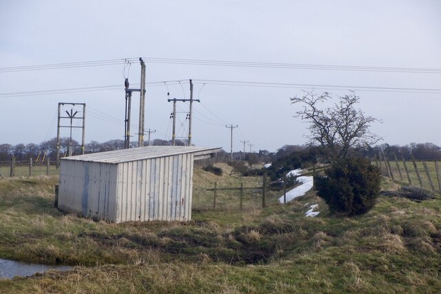
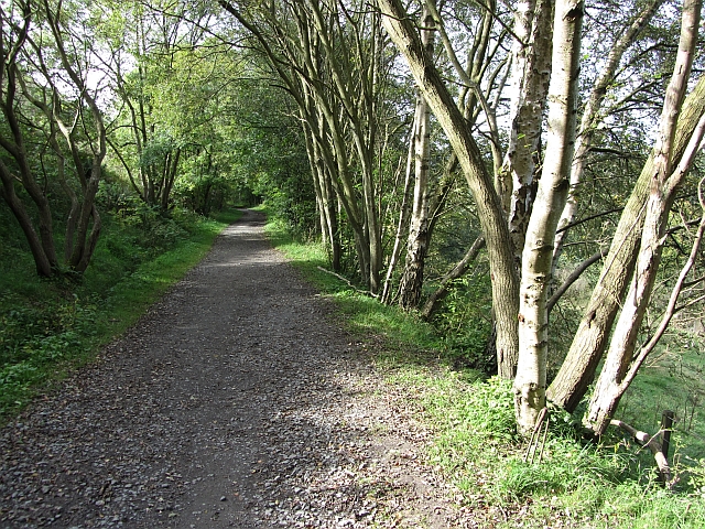
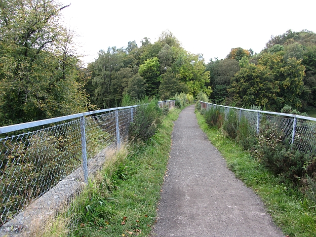
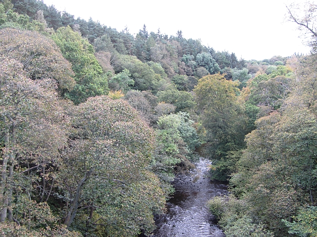
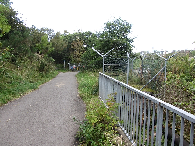
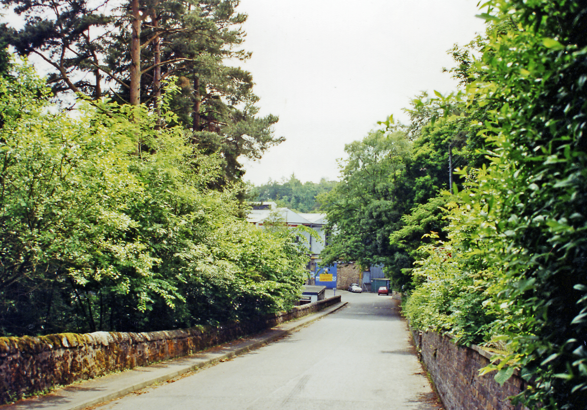
Glencorse Images
Images are sourced within 2km of 55.844629/-3.2028565 or Grid Reference NT2461. Thanks to Geograph Open Source API. All images are credited.


Glencorse is located at Grid Ref: NT2461 (Lat: 55.844629, Lng: -3.2028565)
Unitary Authority: Midlothian
Police Authority: The Lothians and Scottish Borders
What 3 Words
///sized.history.crowbar. Near Penicuik, Midlothian
Nearby Locations
Related Wikis
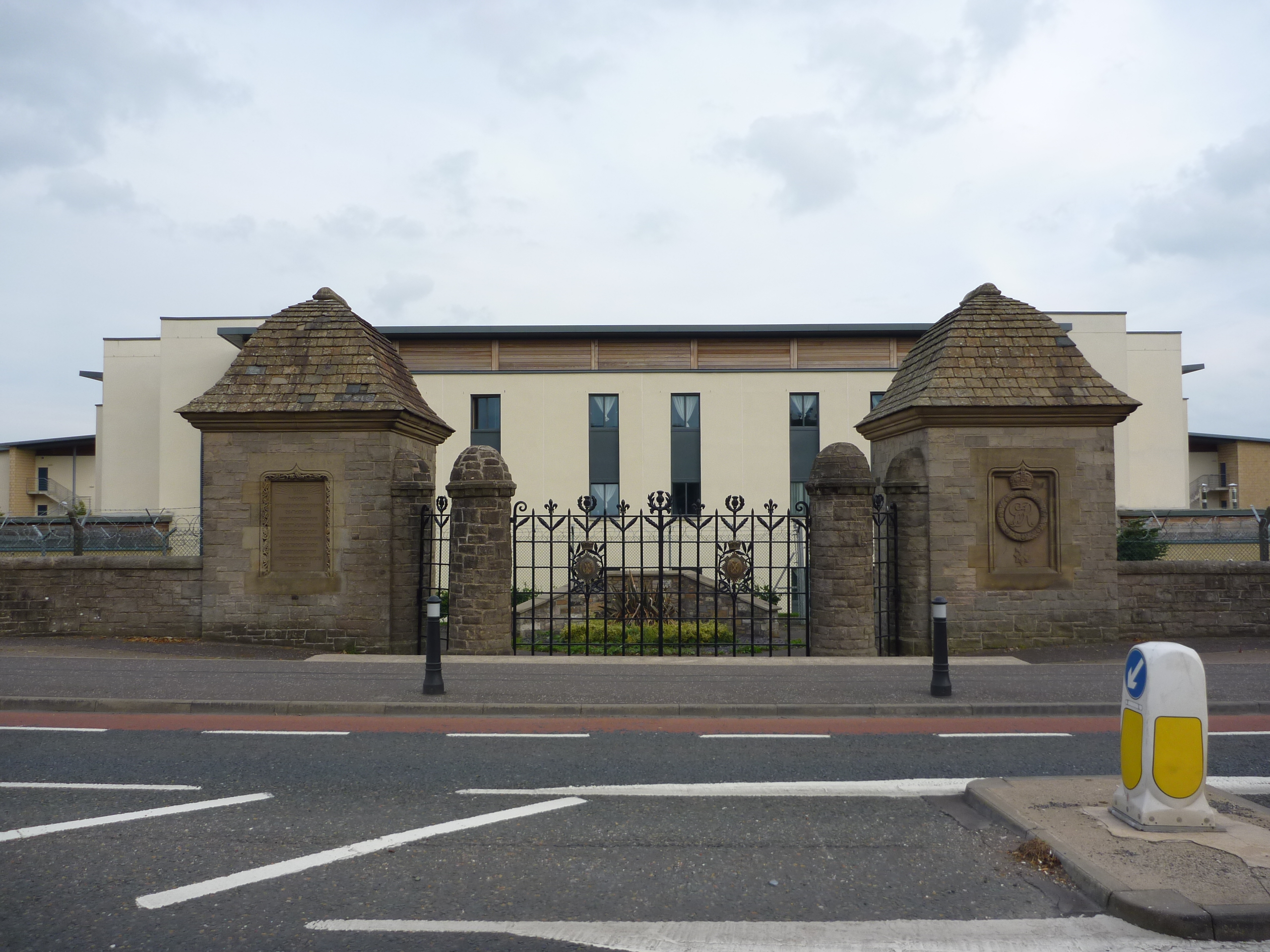
Glencorse Barracks
Glencorse Barracks is a British Army barracks situated in Glencorse just outside the town of Penicuik in Midlothian, Scotland. It is one of the three barracks...

Glencorse railway station
Glencorse railway station served the parish of Glencorse, Midlothian, Scotland, from 1877 to 1959 on the Edinburgh, Loanhead and Roslin Railway. ��2�...
Auchendinny railway station
Auchendinny railway station was a station which served Auchendinny, in the Scottish county of Midlothian. It was served by trains on the branch line that...
Milton Bridge
Milton Bridge is a village in Midlothian, Scotland. It is located two miles north of Penicuik on the Glencorse Burn and gets its name from the bridge crossing...
Nearby Amenities
Located within 500m of 55.844629,-3.2028565Have you been to Glencorse?
Leave your review of Glencorse below (or comments, questions and feedback).