Nup End Green
Settlement in Hertfordshire North Hertfordshire
England
Nup End Green
Nup End Green is a small village located in the county of Hertfordshire, England. Situated in the Chiltern Hills, it is surrounded by picturesque countryside and boasts a tranquil and idyllic setting. The village is part of the civil parish of Flaunden and lies within the Three Rivers district.
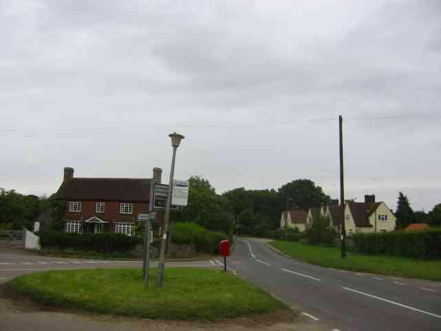
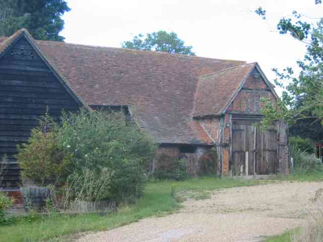
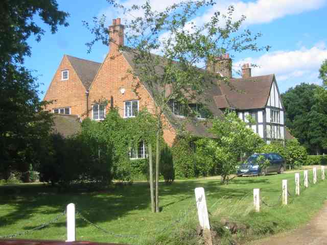
The village is characterized by its traditional English charm, with a scattering of charming cottages and period houses lining the streets. The architecture reflects the village's rich history, dating back several centuries. The village green, known as Nup End Green, is the heart of the community and serves as a focal point for local gatherings and events.
Nup End Green is known for its strong sense of community spirit, with residents actively involved in organizing various social activities and initiatives. The village has a close-knit community, and its residents take pride in maintaining its rural character.
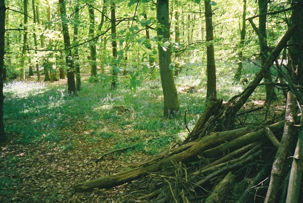
Surrounded by stunning countryside, Nup End Green offers ample opportunities for outdoor activities. The area is crisscrossed by footpaths and bridleways, making it an ideal location for walking, cycling, and horseback riding. A short distance away, the Chiltern Hills Area of Outstanding Natural Beauty provides breathtaking views and further recreational options.
Although Nup End Green is a small village, it benefits from its proximity to nearby towns and amenities. The village is within easy reach of Hemel Hempstead and Watford, offering a range of shopping, dining, and entertainment options. The village is also well-connected by road, with the M25 motorway providing easy access to London and other major cities.
Overall, Nup End Green is a charming and peaceful village, offering a delightful rural lifestyle amidst stunning natural beauty.
If you have any feedback on the listing, please let us know in the comments section below.
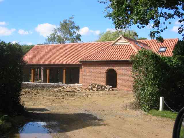
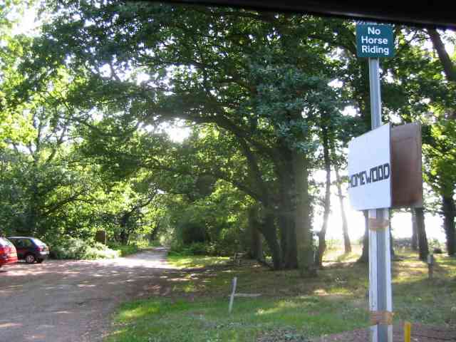
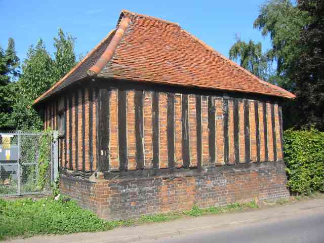
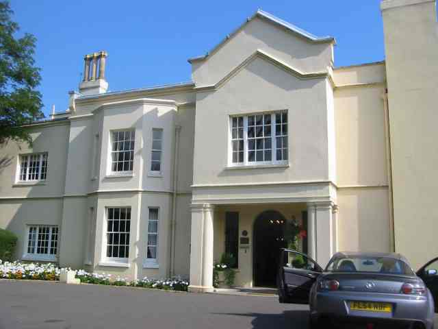
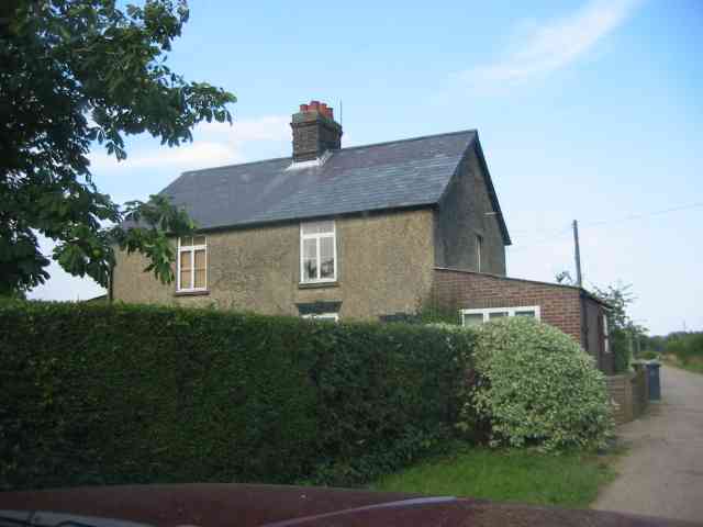
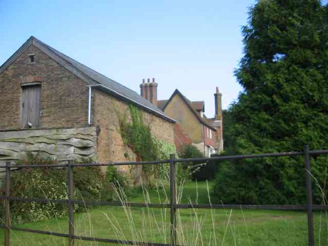
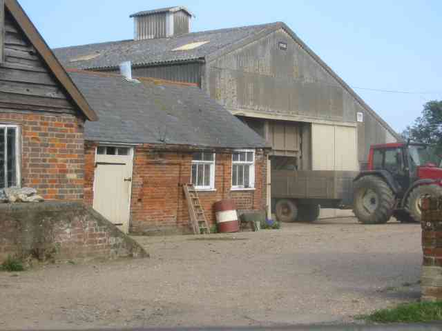
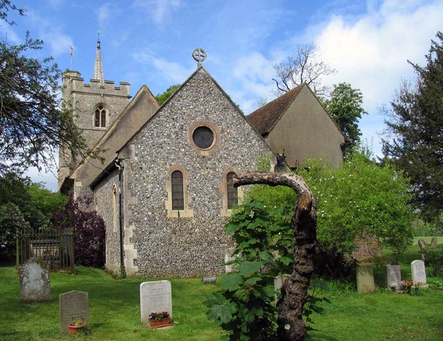
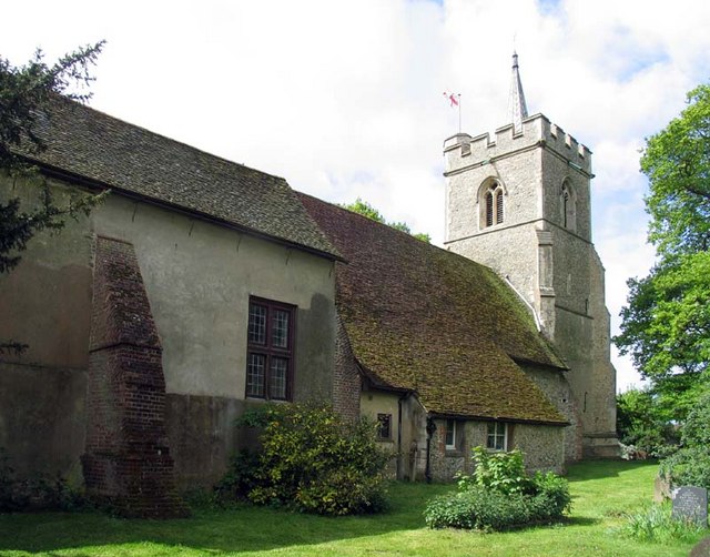
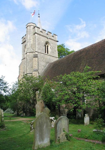
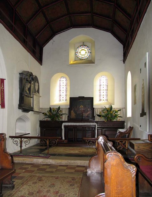
Nup End Green Images
Images are sourced within 2km of 51.864813/-0.22151692 or Grid Reference TL2219. Thanks to Geograph Open Source API. All images are credited.

Nup End Green is located at Grid Ref: TL2219 (Lat: 51.864813, Lng: -0.22151692)
Administrative County: Hertfordshire
District: North Hertfordshire
Police Authority: Hertfordshire
What 3 Words
///grass.doing.green. Near Codicote, Hertfordshire
Nearby Locations
Related Wikis
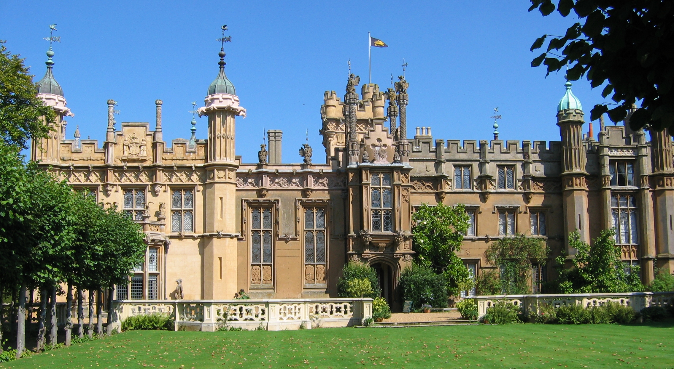
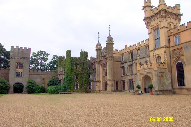
Knebworth House
Knebworth House is an English country house in the parish of Knebworth in Hertfordshire, England. It is a Grade II* listed building. Its gardens are also...

BOB fm (Hertfordshire)
BOB fm was an Independent Local Radio station broadcasting to north Hertfordshire in the United Kingdom. Programming originated from studios at the Old...
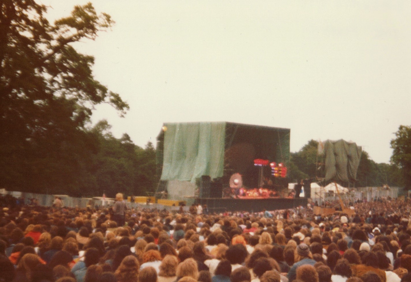
Knebworth Festival
The Knebworth Festival is a recurring open-air rock and pop concert held on the grounds of the Knebworth House in Knebworth, England. The festival first...

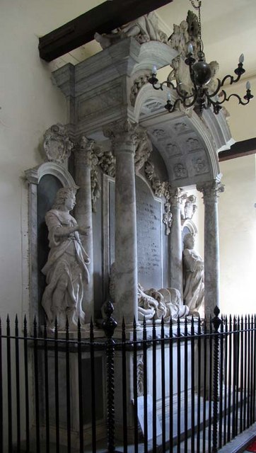
Church of St Mary and St Thomas, Knebworth
The Church of St Mary and St Thomas is one of two Anglican churches in Knebworth, Hertfordshire, England. The church dates from the twelfth century and...
Nearby Amenities
Located within 500m of 51.864813,-0.22151692Have you been to Nup End Green?
Leave your review of Nup End Green below (or comments, questions and feedback).