Nup End Green
Downs, Moorland in Hertfordshire North Hertfordshire
England
Nup End Green
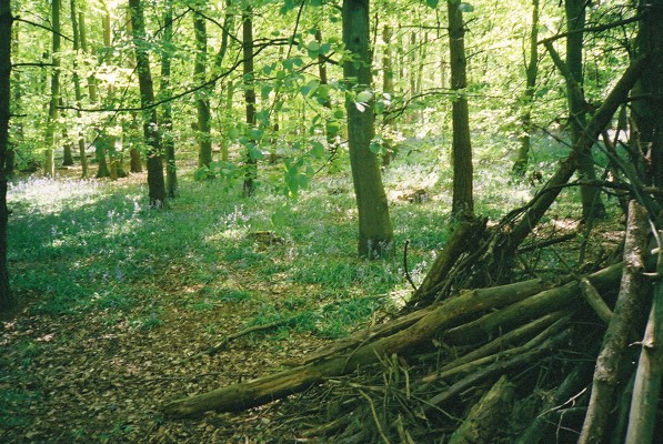
Nup End Green is a picturesque area located in the county of Hertfordshire, England. Situated near the village of Harpenden, it is known for its stunning natural beauty and peaceful surroundings. The green is surrounded by rolling downs and moorland, providing visitors with breathtaking views of the countryside.
The area is characterized by its open green space, which is often used for recreational purposes such as picnics, walking, and sports. The green is well-maintained and features a variety of trees, including oak and ash, which provide shade and add to the overall charm of the area.
Nup End Green is also home to a diverse range of wildlife, offering nature enthusiasts the opportunity to spot various bird species, rabbits, and other small animals. It is a popular spot for birdwatching due to its tranquil atmosphere and abundance of natural habitats.
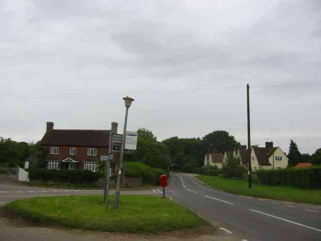
The green is easily accessible by foot, with several footpaths and trails leading to and from the area. It is a favorite destination for locals and tourists alike, who appreciate the serene ambiance and the chance to escape the hustle and bustle of city life.
Overall, Nup End Green is a hidden gem in Hertfordshire, offering visitors a chance to reconnect with nature and enjoy the beauty of the English countryside. Whether it's a leisurely stroll, a family picnic, or a birdwatching expedition, this green space has something to offer for everyone.
If you have any feedback on the listing, please let us know in the comments section below.
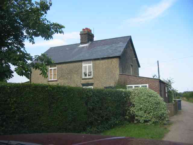
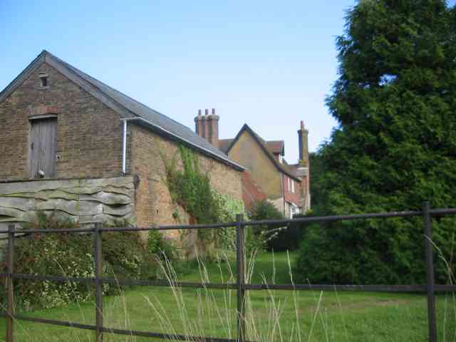
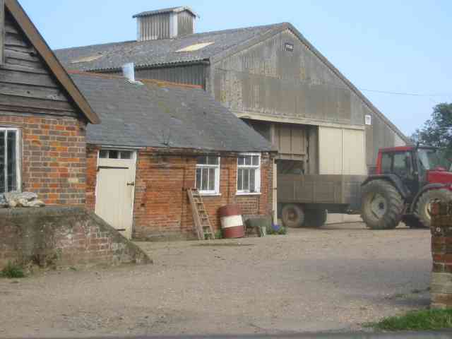
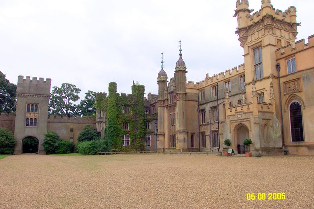
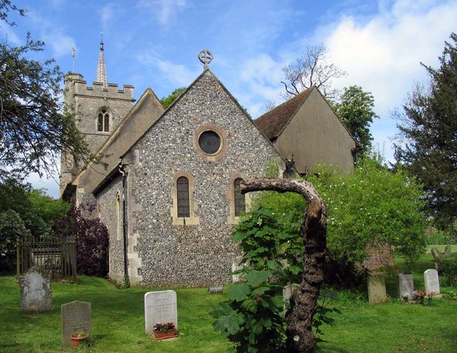
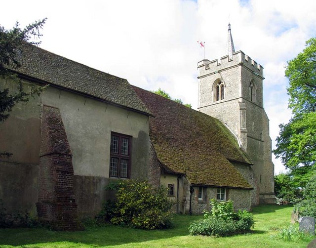
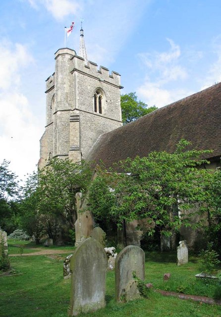
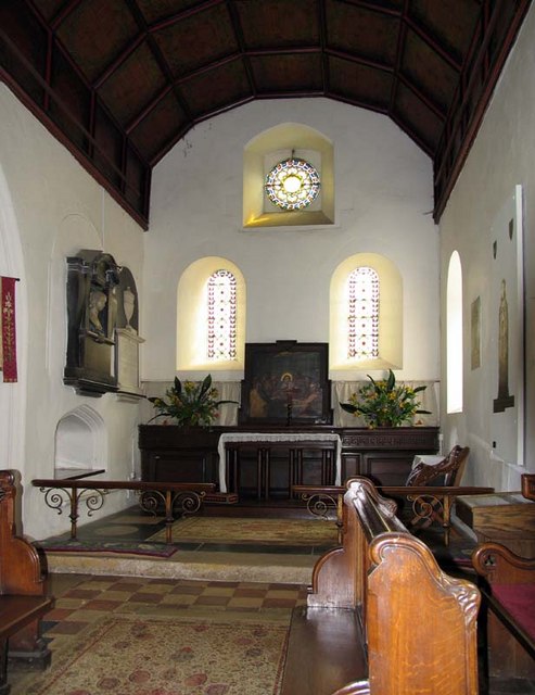
Nup End Green Images
Images are sourced within 2km of 51.863586/-0.21887844 or Grid Reference TL2219. Thanks to Geograph Open Source API. All images are credited.
Nup End Green is located at Grid Ref: TL2219 (Lat: 51.863586, Lng: -0.21887844)
Administrative County: Hertfordshire
District: North Hertfordshire
Police Authority: Hertfordshire
What 3 Words
///shrimp.that.brains. Near Codicote, Hertfordshire
Nearby Locations
Related Wikis
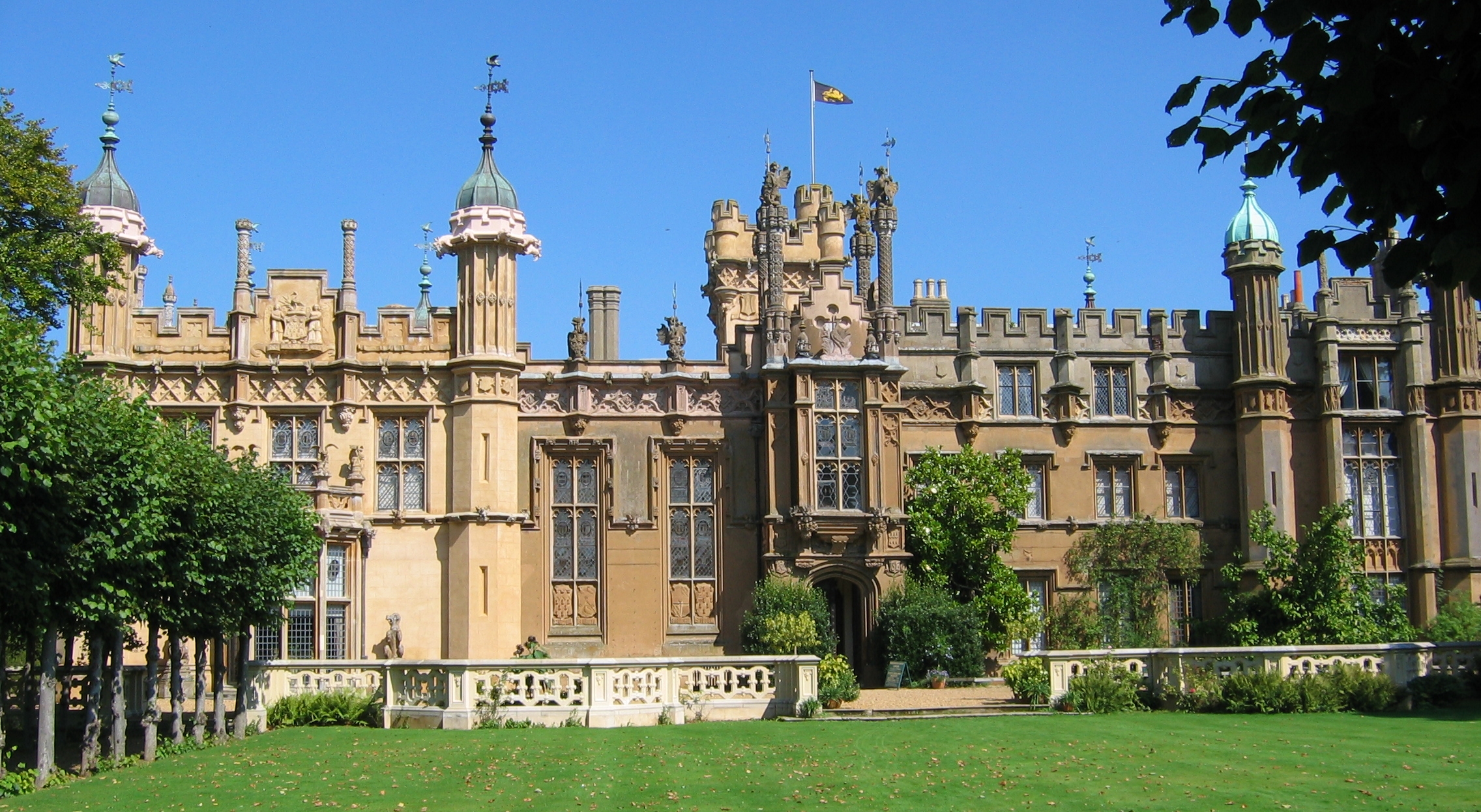
Knebworth House
Knebworth House is an English country house in the parish of Knebworth in Hertfordshire, England. It is a Grade II* listed building. Its gardens are also...

BOB fm (Hertfordshire)
BOB fm was an Independent Local Radio station broadcasting to north Hertfordshire in the United Kingdom. Programming originated from studios at the Old...

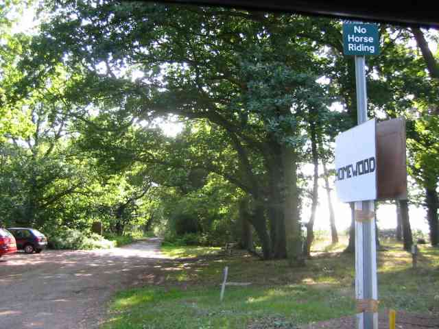
Homewood, Knebworth
Homewood is an Arts and Crafts style country house in Knebworth, Hertfordshire, England. Designed and built by architect Edwin Lutyens around 1900–3, using...
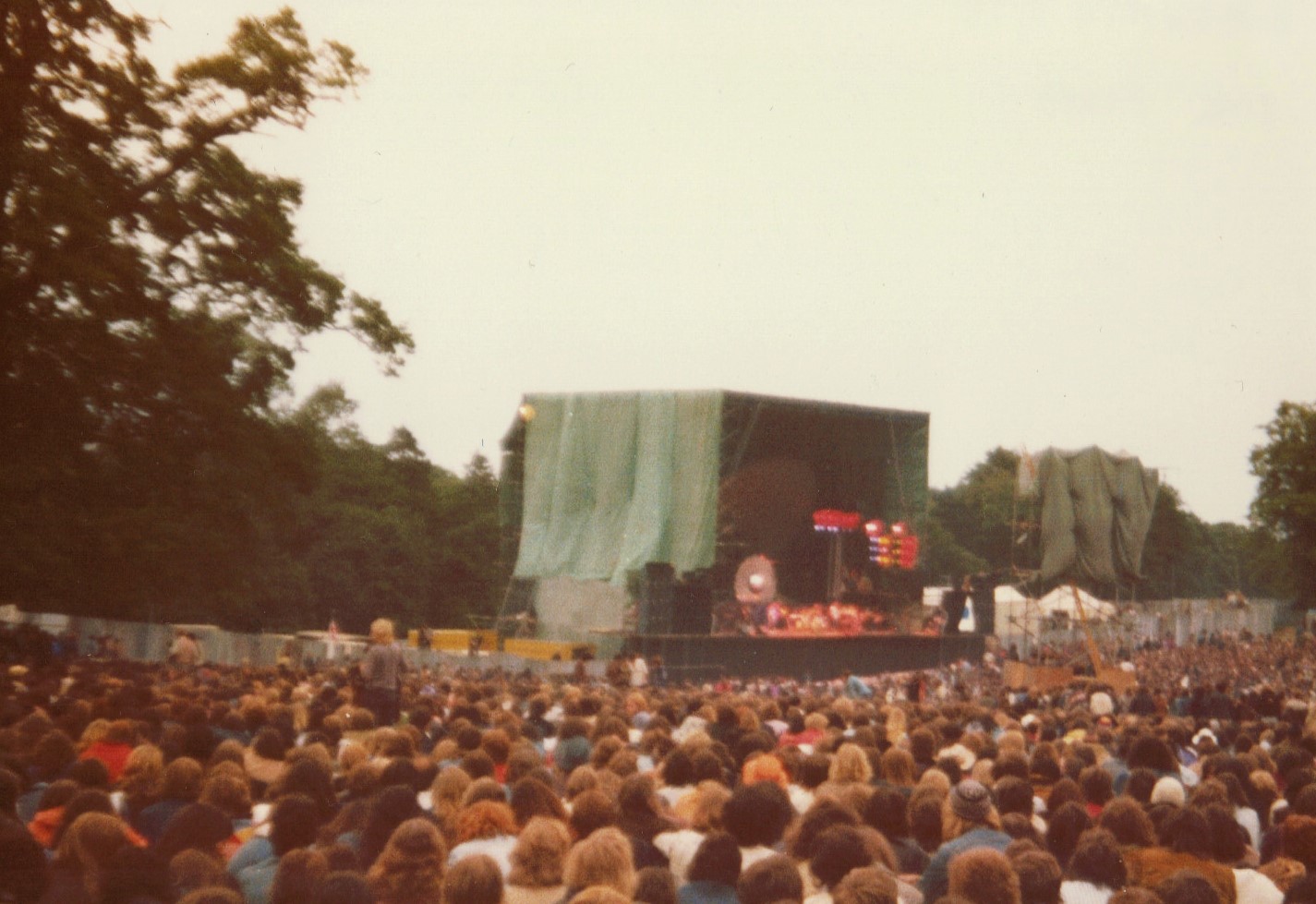
Knebworth Festival
The Knebworth Festival is a recurring open-air rock and pop concert held on the grounds of the Knebworth House in Knebworth, England. The festival first...

Church of St Mary and St Thomas, Knebworth
The Church of St Mary and St Thomas is one of two Anglican churches in Knebworth, Hertfordshire, England. The church dates from the twelfth century and...

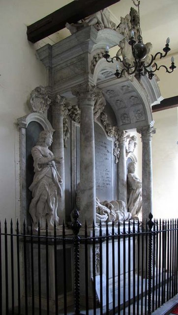
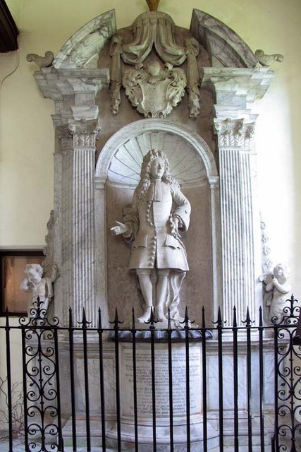
Lytton Mausoleum
The Lytton Mausoleum is a family mausoleum in Knebworth Park, Hertfordshire, England. == Description == The mausoleum was commissioned by Elizabeth Bulwer...
Codicote F.C.
Codicote Football Club is a football club based in Codicote, near Hitchin, Hertfordshire, England. They are currently members of the Spartan South Midlands...
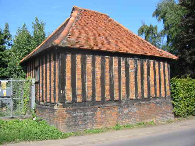
Codicote
Codicote ( KO-dih-kət) is a large village, and civil parish about seven miles (11 km) south of Hitchin in Hertfordshire, England. It has timber-framed...
Nearby Amenities
Located within 500m of 51.863586,-0.21887844Have you been to Nup End Green?
Leave your review of Nup End Green below (or comments, questions and feedback).