North Beer

Settlement in Devon Torridge

England

North Beer

Clawton village sign on the A388
Clawton village sign on the A388 Credit: Roy Hughes

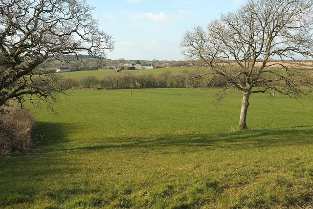
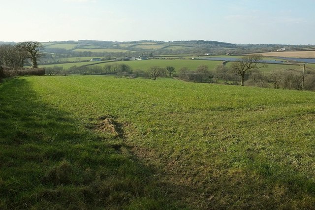
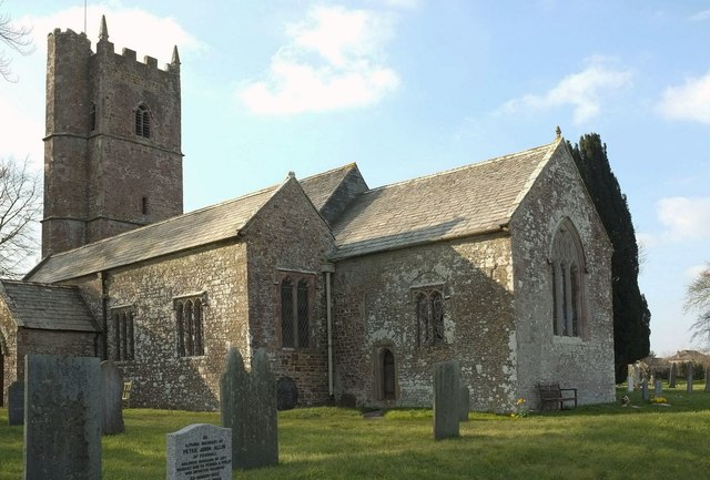
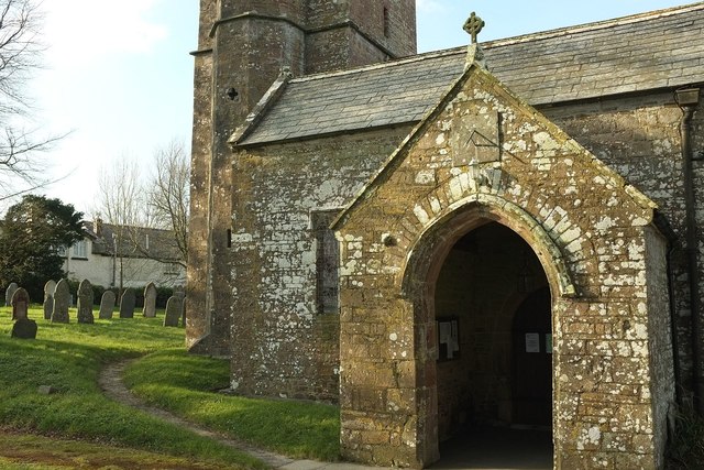
North Beer is a picturesque village located in the county of Devon, England. Situated on the northern coast of the county, it is a popular tourist destination known for its natural beauty, historic charm, and thriving community. The village is nestled between rolling green hills and cliffs, offering stunning views of the rugged coastline and the vast Atlantic Ocean.

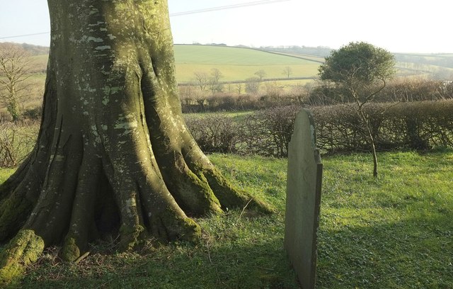
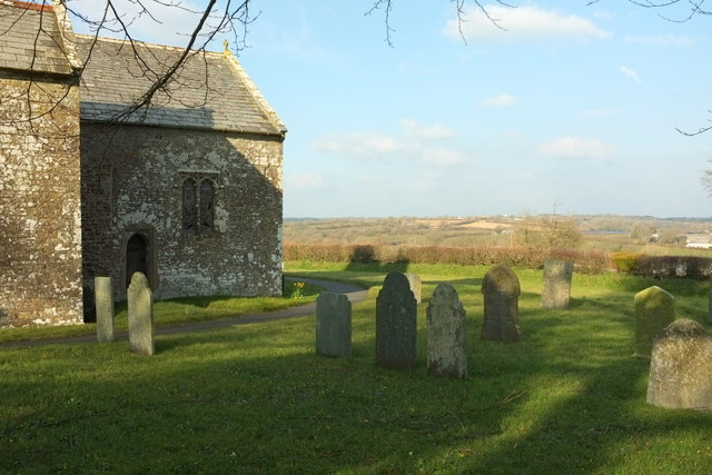
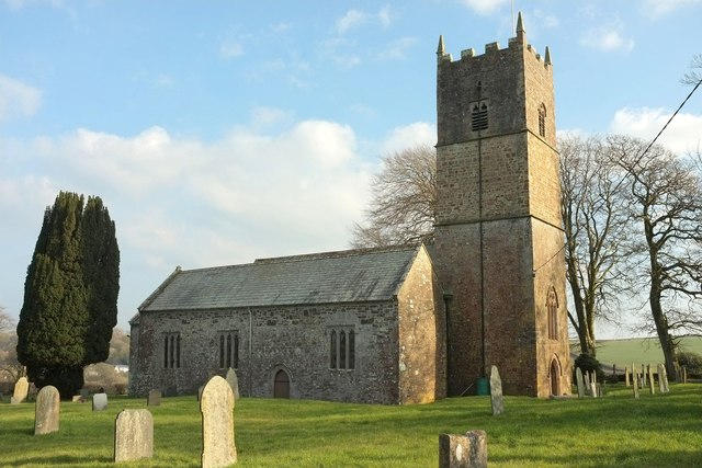
North Beer has a rich history that can be traced back to medieval times. It was once a bustling fishing port and has managed to retain its traditional maritime character. The village's narrow streets are lined with quaint cottages, many of which date back several centuries, adding to its timeless appeal.

The heart of North Beer lies in its small but vibrant town center, where visitors can find a range of independent shops, charming cafes, and traditional pubs. The village is also home to a few art galleries and craft shops, showcasing the talents of local artists and artisans.

Nature enthusiasts are drawn to North Beer for its stunning coastal walks and abundant wildlife. The South West Coast Path, which runs through the village, offers breathtaking views of the surrounding cliffs and beaches. Keen birdwatchers will be delighted by the variety of seabirds that can be spotted along the coastline.

North Beer is also known for its lively community events and festivals. Throughout the year, the village hosts a range of activities, including traditional fairs, live music performances, and food markets, providing entertainment for both locals and visitors alike.

Overall, North Beer is a charming coastal village that offers a perfect blend of natural beauty, history, and community spirit, making it an idyllic destination for tourists seeking a quintessential Devon experience.

If you have any feedback on the listing, please let us know in the comments section below.
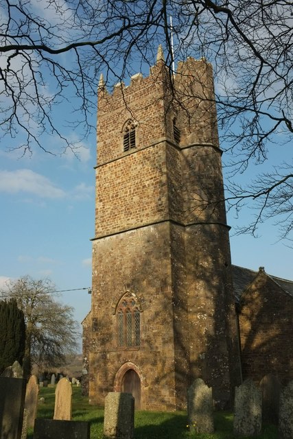
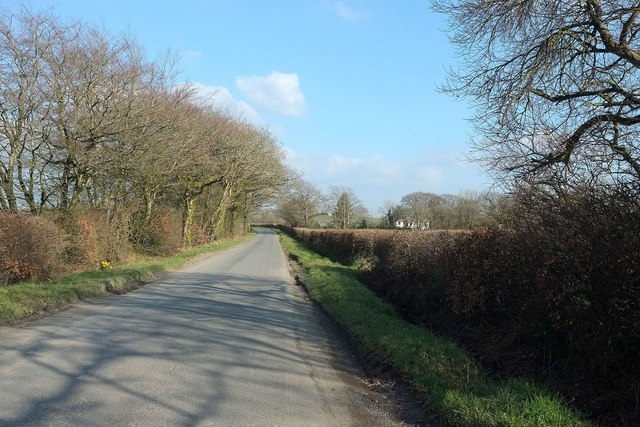
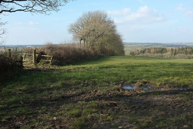
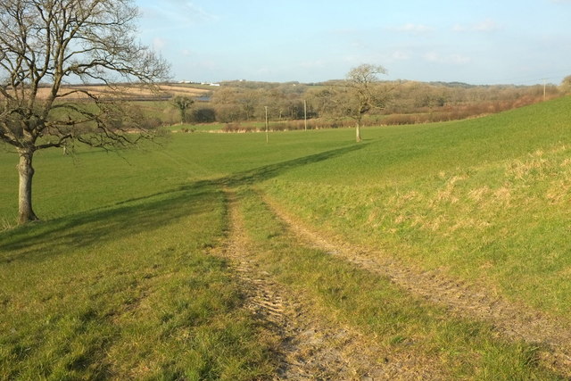
North Beer Images

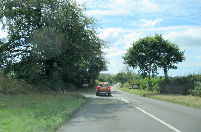
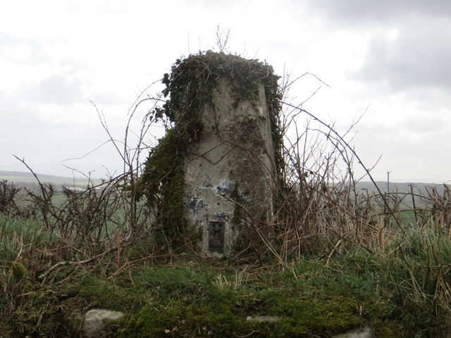
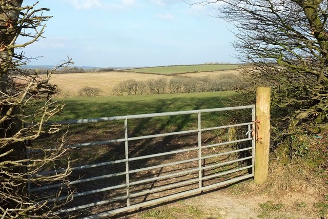
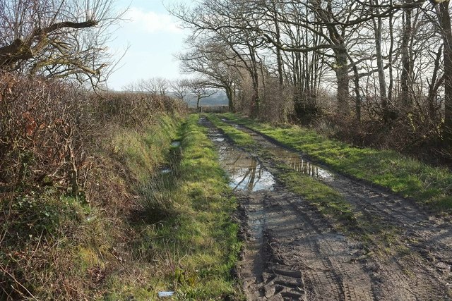
Images are sourced within 2km of 50.767251/-4.3272596 or Grid Reference SX3598. Thanks to Geograph Open Source API. All images are credited.

Clawton village sign on the A388
Sunset on Tinacre Farm Clawford cuts through the Tinacre farmland
Sunset on Tinacre Farm
Clawford cuts through the Tinacre farmland
View of Higher Broadpark Triangulation Pillar Looking south-eastward. This roadside ivy covered pillar stands on top of the field boundary.
View of Higher Broadpark Triangulation Pillar
Looking south-eastward. This roadside ivy covered pillar stands on top of the field boundary.
Countryside west of Buckhorn From a ridge lane east of Clawton, looking across a side valley of the Claw valley.
Countryside west of Buckhorn
From a ridge lane east of Clawton, looking across a side valley of the Claw valley.
Track near North Beer A green lane seen from the road between Clawton and Spry's Shop.
Track near North Beer
A green lane seen from the road between Clawton and Spry's Shop.
Church of St Leonard, Clawton A grade I listed church with a detailed description at <span class="nowrap"><a title="https://www.historicengland.org.uk/listing/the-list/list-entry/1104685" rel="nofollow ugc noopener" href="https://www.historicengland.org.uk/listing/the-list/list-entry/1104685">Link</a><img style="margin-left:2px;" alt="External link" title="External link - shift click to open in new window" src="https://s1.geograph.org.uk/img/external.png" width="10" height="10"/></span> .
Church of St Leonard, Clawton
A grade I listed church with a detailed description at LinkExternal link .
Road from Clawton to Spry's Shop The farm is Higher Northbeer. <a href="https://www.geograph.org.uk/photo/4873244">SX3699 : Track near North Beer</a> looks to the right from this spot, while <a href="https://www.geograph.org.uk/photo/4865751">SX3699 : Countryside west of Buckhorn</a> was taken from the other side of this stretch of road.
Road from Clawton to Spry's Shop
The farm is Higher Northbeer. SX3699 : Track near North Beer looks to the right from this spot, while SX3699 : Countryside west of Buckhorn was taken from the other side of this stretch of road.
Field near Higher Northbeer From the gate shown in <a href="https://www.geograph.org.uk/photo/4865751">SX3699 : Countryside west of Buckhorn</a>, looking more to the left.
Field near Higher Northbeer
From the gate shown in SX3699 : Countryside west of Buckhorn, looking more to the left.
Track in the Claw valley From the road from Spry's Shop as it drops into the valley and Clawton. The white farm buildings are at Tinacre.
Track in the Claw valley
From the road from Spry's Shop as it drops into the valley and Clawton. The white farm buildings are at Tinacre.
Claw valley Looking left from the same spot as <a href="https://www.geograph.org.uk/photo/5000520">SX3599 : Track in the Claw valley</a>, with the tree on the right appearing in both images. The farm across the valley is Eastacombe, with a listed farmhouse <span class="nowrap"><a title="https://www.historicengland.org.uk/listing/the-list/list-entry/1104676" rel="nofollow ugc noopener" href="https://www.historicengland.org.uk/listing/the-list/list-entry/1104676">Link</a><img style="margin-left:2px;" alt="External link" title="External link - shift click to open in new window" src="https://s1.geograph.org.uk/img/external.png" width="10" height="10"/></span> .
Claw valley
Looking left from the same spot as SX3599 : Track in the Claw valley, with the tree on the right appearing in both images. The farm across the valley is Eastacombe, with a listed farmhouse LinkExternal link .
Towards the Claw valley Taken beside Valley View, looking across a grass field towards the valley, with a solar farm to the right of Eastacombe.
Towards the Claw valley
Taken beside Valley View, looking across a grass field towards the valley, with a solar farm to the right of Eastacombe.
Churchyard, Clawton A tree and gravestone south of the church, with a view over the Claw valley behind.
Churchyard, Clawton
A tree and gravestone south of the church, with a view over the Claw valley behind.
Church of St Leonard, Clawton Looking across the churchyard from the same spot as <a href="https://www.geograph.org.uk/photo/5000932">SX3499 : Churchyard, Clawton</a>, with a view to Tinacre. For the church, see <a href="https://www.geograph.org.uk/photo/4873497">SX3499 : Church of St Leonard, Clawton</a>.
Church of St Leonard, Clawton
Looking across the churchyard from the same spot as SX3499 : Churchyard, Clawton, with a view to Tinacre. For the church, see SX3499 : Church of St Leonard, Clawton.
Church of St Leonard, Clawton The grade I listed church <span class="nowrap"><a title="https://www.historicengland.org.uk/listing/the-list/list-entry/1104685" rel="nofollow ugc noopener" href="https://www.historicengland.org.uk/listing/the-list/list-entry/1104685">Link</a><img style="margin-left:2px;" alt="External link" title="External link - shift click to open in new window" src="https://s1.geograph.org.uk/img/external.png" width="10" height="10"/></span> from the southeast; see also <a title="https://www.geograph.org.uk/search.php?i=63906680" href="https://www.geograph.org.uk/search.php?i=63906680">Link</a> .
Church of St Leonard, Clawton
The grade I listed church LinkExternal link from the southeast; see also Link .
Church of St Leonard, Clawton Showing "The south west porch has a coped gable and kneelers with a C19 cross on the apex of the gable and a 1634 slate sundial above an unusually tall 4-centred arched doorway with hollow chamfered jambs decorated with ballflowers" <span class="nowrap"><a title="https://www.historicengland.org.uk/listing/the-list/list-entry/1104685" rel="nofollow ugc noopener" href="https://www.historicengland.org.uk/listing/the-list/list-entry/1104685">Link</a><img style="margin-left:2px;" alt="External link" title="External link - shift click to open in new window" src="https://s1.geograph.org.uk/img/external.png" width="10" height="10"/></span> .
Church of St Leonard, Clawton
Showing "The south west porch has a coped gable and kneelers with a C19 cross on the apex of the gable and a 1634 slate sundial above an unusually tall 4-centred arched doorway with hollow chamfered jambs decorated with ballflowers" LinkExternal link .
Sundial, Church of St Leonard, Clawton A closer view than <a href="https://www.geograph.org.uk/photo/5001176">SX3499 : Church of St Leonard, Clawton</a>. The sundial dates from 1634 <span class="nowrap"><a title="https://www.historicengland.org.uk/listing/the-list/list-entry/1104685" rel="nofollow ugc noopener" href="https://www.historicengland.org.uk/listing/the-list/list-entry/1104685">Link</a><img style="margin-left:2px;" alt="External link" title="External link - shift click to open in new window" src="https://s1.geograph.org.uk/img/external.png" width="10" height="10"/></span> .
Sundial, Church of St Leonard, Clawton
A closer view than SX3499 : Church of St Leonard, Clawton. The sundial dates from 1634 LinkExternal link .
Osmond memorial, Clawton This "early C17 plaster wall monument" on the north wall of St Leonard's church is described in some detail at <span class="nowrap"><a title="https://www.historicengland.org.uk/listing/the-list/list-entry/1104685" rel="nofollow ugc noopener" href="https://www.historicengland.org.uk/listing/the-list/list-entry/1104685">Link</a><img style="margin-left:2px;" alt="External link" title="External link - shift click to open in new window" src="https://s1.geograph.org.uk/img/external.png" width="10" height="10"/></span> .
Osmond memorial, Clawton
This "early C17 plaster wall monument" on the north wall of St Leonard's church is described in some detail at LinkExternal link .
Church of St Leonard, Clawton The view from the northwest corner of the churchyard. See  <span class="nowrap"><a title="https://www.historicengland.org.uk/listing/the-list/list-entry/1104685" rel="nofollow ugc noopener" href="https://www.historicengland.org.uk/listing/the-list/list-entry/1104685">Link</a><img style="margin-left:2px;" alt="External link" title="External link - shift click to open in new window" src="https://s1.geograph.org.uk/img/external.png" width="10" height="10"/></span> and <a title="https://www.geograph.org.uk/search.php?i=63906680" href="https://www.geograph.org.uk/search.php?i=63906680">Link</a>
Church of St Leonard, Clawton
The view from the northwest corner of the churchyard. See LinkExternal link and Link
Show me another place!

North Beer is located at Grid Ref: SX3598 (Lat: 50.767251, Lng: -4.3272596)

Administrative County: Devon

District: Torridge

Police Authority: Devon and Cornwall

What 3 Words

///measuring.classed.whom. Near Holsworthy, Devon

Nearby Locations

North Beer

Related Wikis

Clawton

Clawton is a village and civil parish in the far west of Devon, England. It forms part of the local government district of Torridge. The village lies about...

Hollacombe

Hollacombe is a village and small civil parish in the local government district of Torridge, Devon, England. It lies about 3 miles south east of the town...

River Deer

The River Deer is river in Devon, a tributary of the River Tamar, joining it at North Tamerton. == Toponymy == The root of the name is uncertain, since...

Quoditch

Quoditch is a hamlet in the parish of Ashwater, part of the Torridge district of Devon, England. Its nearest town is Holsworthy, which lies approximately...

Nearby Amenities

Located within 500m of 50.767251,-4.3272596
North Beer
Place: hamlet
Lat/Long: 50.7673944/-4.3259633
Power: pole
Lat/Long: 50.7706175/-4.3301421
Power: pole
Lat/Long: 50.7704123/-4.3284309
Power: pole
Lat/Long: 50.7701527/-4.3267384
Power: pole
Lat/Long: 50.7699153/-4.3252739
Power: pole
Lat/Long: 50.7696947/-4.3237156
Power: pole
Lat/Long: 50.7690688/-4.3220446
Power: pole
Lat/Long: 50.7686057/-4.3209127
The data included in this document is from www.openstreetmap.org. The data is made available under ODbL.

Have you been to North Beer?

Leave your review of North Beer below (or comments, questions and feedback).