North Barr
Settlement in Renfrewshire
Scotland
North Barr
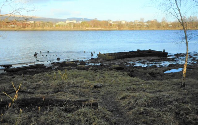
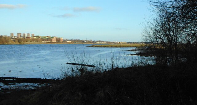
North Barr is a small village located in the council area of Renfrewshire, Scotland. Situated on the banks of the River Clyde, it is approximately 15 miles west of Glasgow. With a population of around 500 residents, it offers a peaceful and close-knit community atmosphere.
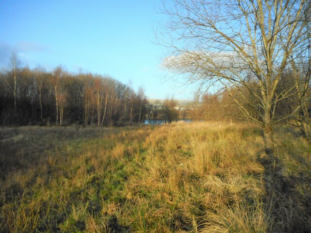
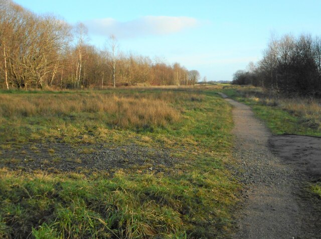
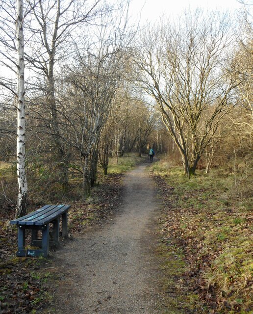
The village is surrounded by picturesque countryside, providing a tranquil setting for residents and visitors alike. The nearby Gleniffer Braes Country Park offers stunning views of the surrounding landscape and is popular among outdoor enthusiasts for its walking trails and cycling routes.
North Barr is well-connected to the rest of Renfrewshire and beyond, with good transportation links. The A761 road passes through the village, connecting it to nearby towns and cities. The nearest train station is in Paisley, which provides regular services to Glasgow and other major destinations.
Although small in size, North Barr has a strong sense of community and offers some basic amenities. The village has a primary school, providing education for local children, and a community center that hosts various activities and events. Additionally, there are a few local shops and pubs, ensuring that residents have access to essential goods and services.
Overall, North Barr is a charming village that offers a peaceful lifestyle, surrounded by stunning natural beauty. With its close-knit community, it is an ideal place for those seeking a quieter suburban setting while still maintaining convenient access to nearby urban areas.
If you have any feedback on the listing, please let us know in the comments section below.
North Barr Images
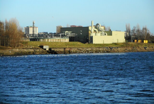
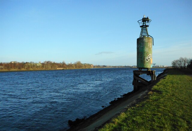
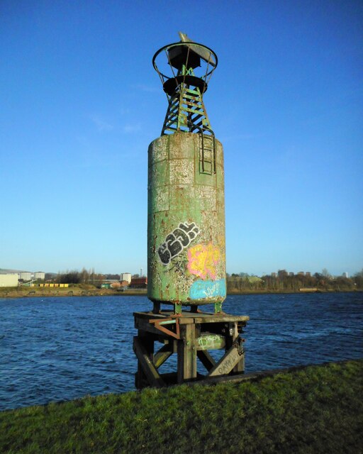
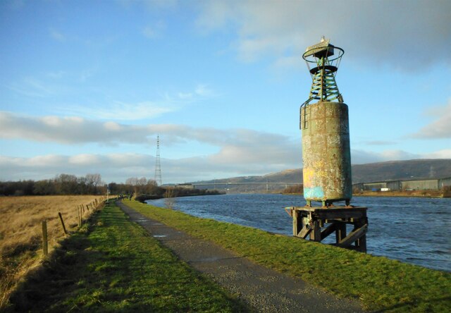
Images are sourced within 2km of 55.907339/-4.4599793 or Grid Reference NS4670. Thanks to Geograph Open Source API. All images are credited.

North Barr is located at Grid Ref: NS4670 (Lat: 55.907339, Lng: -4.4599793)
Unitary Authority: Renfrewshire
Police Authority: Renfrewshire and Inverclyde
What 3 Words
///forensic.blogging.journey. Near Erskine, Renfrewshire
Nearby Locations
Related Wikis

Erskine
Erskine (, Scots: Erskin, Scottish Gaelic: Arasgain) is a town in the council area of Renfrewshire, and historic county of the same name, situated in the...

Park Mains High School
Park Mains High School is a secondary school in Erskine, Renfrewshire. It is one of the biggest schools in Scotland. As well as taking in students from...
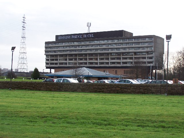
Erskine Bridge Hotel & Spa
The MGM Muthu Glasgow River Hotel, formerly the Erskine Bridge Hotel & Spa is situated on the banks of the River Clyde in Erskine, Renfrewshire. The hotel...

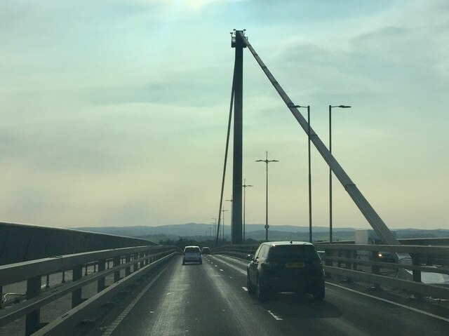
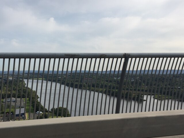
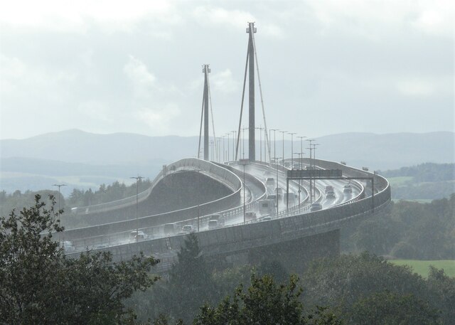
Erskine Bridge
The Erskine Bridge is a multi span cable-stayed box girder bridge spanning the River Clyde in west central Scotland. The bridge connects West Dunbartonshire...
Nearby Amenities
Located within 500m of 55.907339,-4.4599793Have you been to North Barr?
Leave your review of North Barr below (or comments, questions and feedback).