Abbeydale
Settlement in Yorkshire
England
Abbeydale
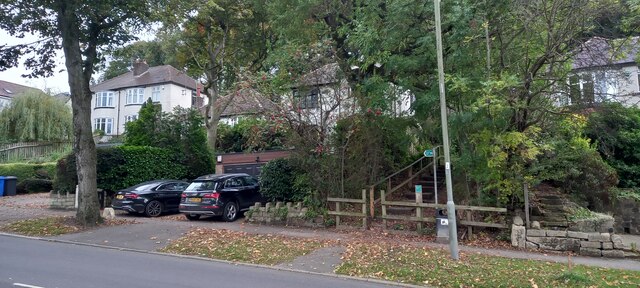
Abbeydale is a quaint village located in the county of Yorkshire, England. Situated on the outskirts of the bustling city of Sheffield, Abbeydale offers residents and visitors a peaceful escape from the urban environment.
The village is known for its rich history, with the origins of Abbeydale dating back to the medieval era. It was once home to an abbey, which has long since been demolished, but its influence is still evident in the village's name and architecture.
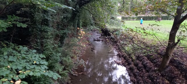
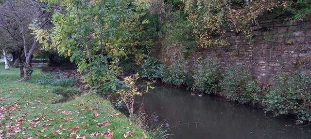
Abbeydale is surrounded by picturesque countryside, offering stunning views and an abundance of outdoor activities. The nearby Peak District National Park is a haven for hikers, cyclists, and nature enthusiasts, with its rolling hills, rugged landscapes, and charming villages.
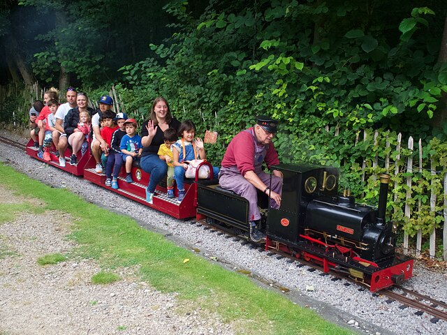
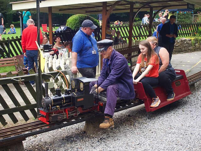
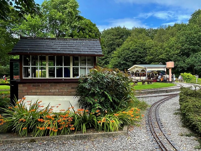
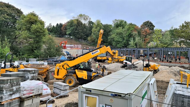
Within the village itself, there are several notable landmarks and attractions to explore. One of the most prominent is Abbeydale Industrial Hamlet, a former steelworking site that has been transformed into a living museum. Visitors can step back in time and learn about the village's industrial heritage, with demonstrations of traditional crafts and machinery.
Abbeydale also boasts a range of amenities, including a village hall, a primary school, and a selection of shops and cafes. The community spirit is strong, with regular events and festivals bringing residents together.
In summary, Abbeydale is a captivating village in Yorkshire, offering a blend of history, natural beauty, and a close-knit community. It is a place where visitors can immerse themselves in the past while enjoying the tranquility of the present.
If you have any feedback on the listing, please let us know in the comments section below.
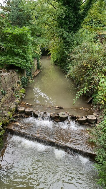
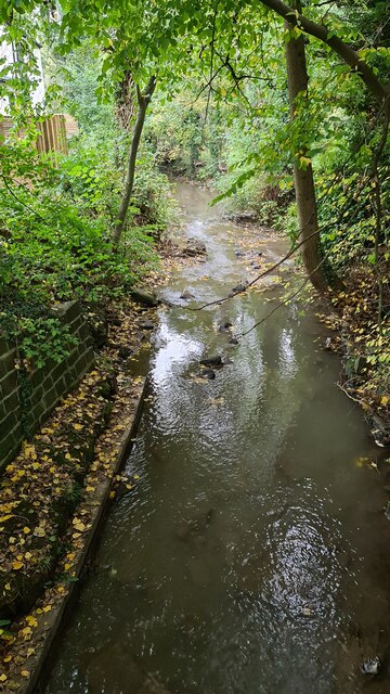
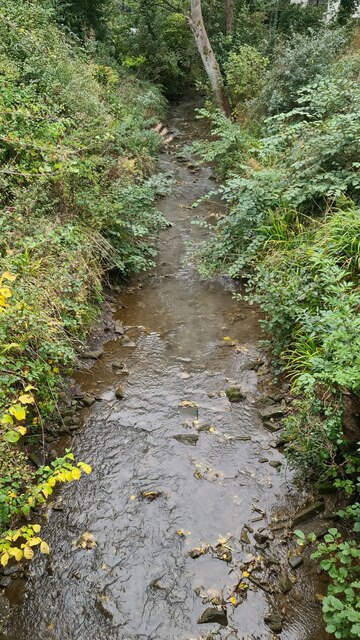
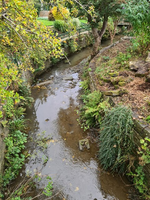
Abbeydale Images
Images are sourced within 2km of 53.335608/-1.51235 or Grid Reference SK3282. Thanks to Geograph Open Source API. All images are credited.
Abbeydale is located at Grid Ref: SK3282 (Lat: 53.335608, Lng: -1.51235)
Division: West Riding
Unitary Authority: Sheffield
Police Authority: South Yorkshire
What 3 Words
///gains.parent.petty. Near Dronfield, Derbyshire
Nearby Locations
Related Wikis

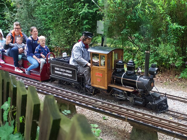
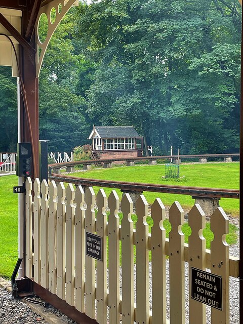
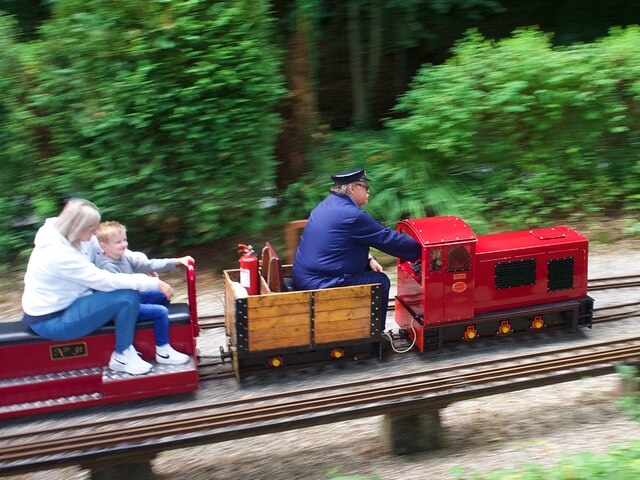
Abbeydale Industrial Hamlet
Abbeydale Industrial Hamlet is an industrial museum in the south of the City of Sheffield, England. The museum forms part of a former steel-working site...

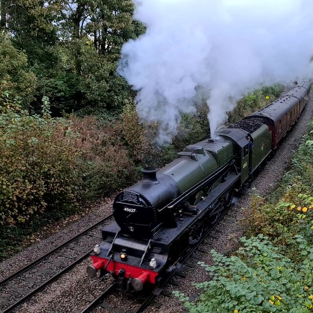
Beauchief railway station
Beauchief railway station (pronounced Beechif) was in Sheffield, South Yorkshire, England. It was built by the Midland Railway in 1870 and was designed...
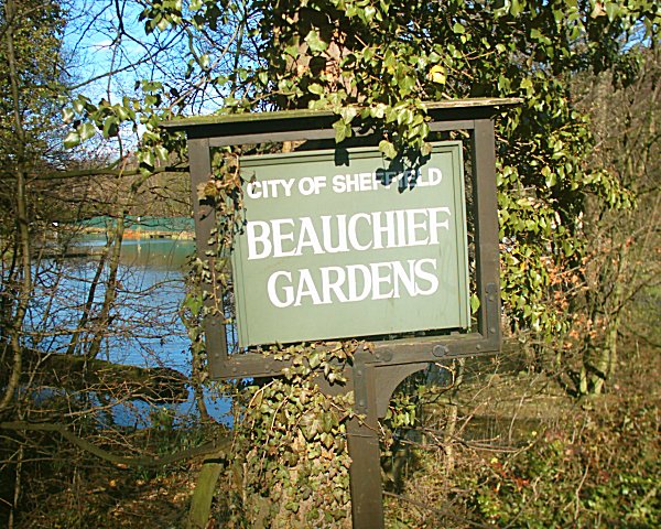
Beauchief Gardens
Beauchief Gardens is a small area of formal parkland in south-west Sheffield. The gardens lie between Abbeydale Road South to the north-west, the River...

Ecclesall Woods
Ecclesall Woods is an area of woodland in south-west Sheffield, South Yorkshire, England, between Abbeydale Road South and Ecclesall. It covers approximately...

Beauchief Abbey
Beauchief Abbey is a medieval monastic house now serving as a parish church in the southern suburbs of Sheffield, England. == History == The abbey was...

Dore & Totley railway station
Dore & Totley railway station serves the south-western Sheffield suburbs of Dore and Totley in South Yorkshire, England 4+3⁄4 miles (7.6 km) south of Sheffield...

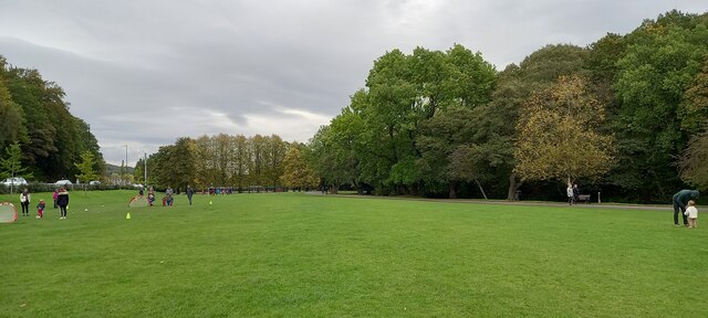
Millhouses Park
Millhouses Park is a public urban park located in the Millhouses neighbourhood in south of Sheffield, England. It is a 12.87-hectare (31.8-acre) park stretching...

Abbeydale Park
Abbeydale Park is a sports venue in Dore, South Yorkshire, England. It is unusual in having hosted home games for two different county cricket teams....
Related Videos
![Walking in Nature | Ecclesall Woods [4k]](https://i.ytimg.com/vi/J1KKizG87DY/hqdefault.jpg)
Walking in Nature | Ecclesall Woods [4k]
Walking in Nature | Ecclesall Woods [4k] In this video, shot in 4k, I begin the series 'Walking in Nature,' which is quite simply ...
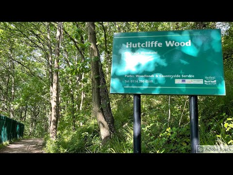
Hutcliffe Woodland Walk in Sheffield - Walk With Me, No Talking, No People Just Nature Sounds
Hutcliffe Woodland Walk in Sheffield - Walk With Me, No Talking, No People Just Nature Sounds Filmed on Apple iPhone 12 Pro ...

Walking A Cat In The Woods 🍁 Adventure Cat Rollie Takes On Ecclesall Woods in Sheffield
Join us for a little walk around Ecclesall woods in Sheffield - with our cat! Rollie is an adventure cat and he has been harness ...
Nearby Amenities
Located within 500m of 53.335608,-1.51235Have you been to Abbeydale?
Leave your review of Abbeydale below (or comments, questions and feedback).