Netherton Park

Settlement in Northumberland

England

Netherton Park

Ridley Arms, Stannington
Ridley Arms, Stannington Credit: Roger Cornfoot

Netherton Park is a picturesque village located in the county of Northumberland, England. Situated in the heart of the Northumberland National Park, this small community is surrounded by stunning natural beauty and offers a peaceful retreat for residents and visitors alike.

The village is characterized by its charming stone houses and cottages, which date back several centuries, adding a sense of historic charm to the area. Netherton Park is known for its close-knit community, where residents take great pride in their village and work together to maintain its traditional character.

The surrounding landscapes are a major draw for outdoor enthusiasts, with numerous walking trails and cycling routes available for exploration. The village is also in close proximity to the famous Hadrian's Wall, a UNESCO World Heritage Site, providing an opportunity for history buffs to delve into the region's rich past.

Despite its rural setting, Netherton Park offers convenient access to amenities. The nearby market town of Hexham provides a range of shops, restaurants, and services, ensuring that residents have everything they need within easy reach.

Netherton Park truly encapsulates the quintessential English countryside experience, with its rolling hills, babbling streams, and abundance of wildlife. Whether you're seeking a tranquil escape or an active adventure, this idyllic village in Northumberland has something to offer for everyone.

If you have any feedback on the listing, please let us know in the comments section below.

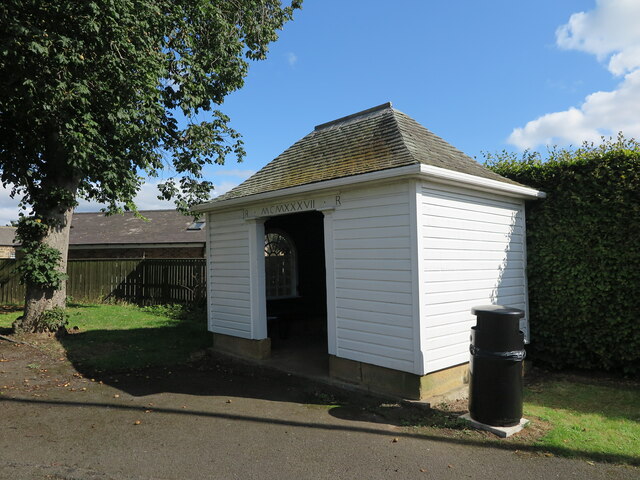
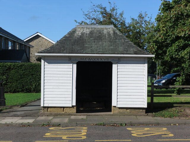
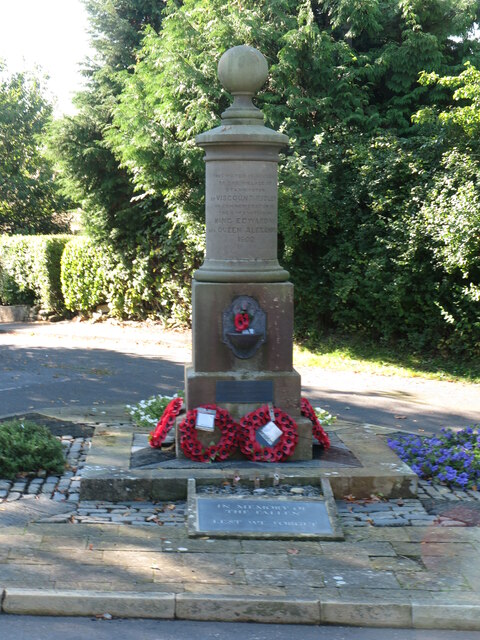
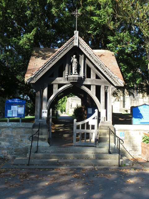
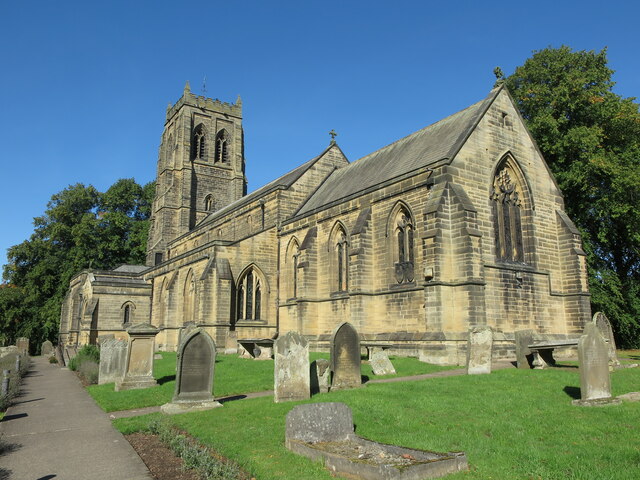
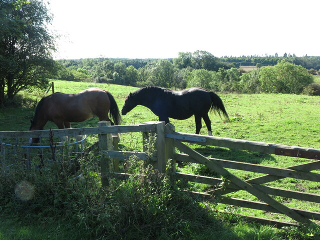
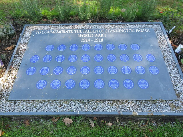
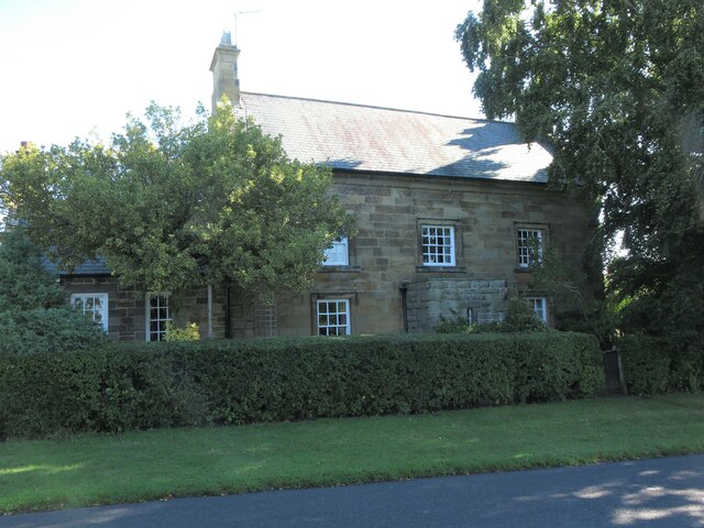
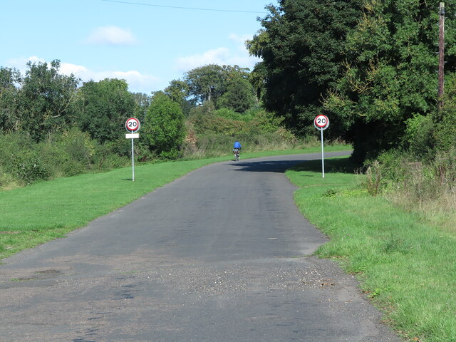
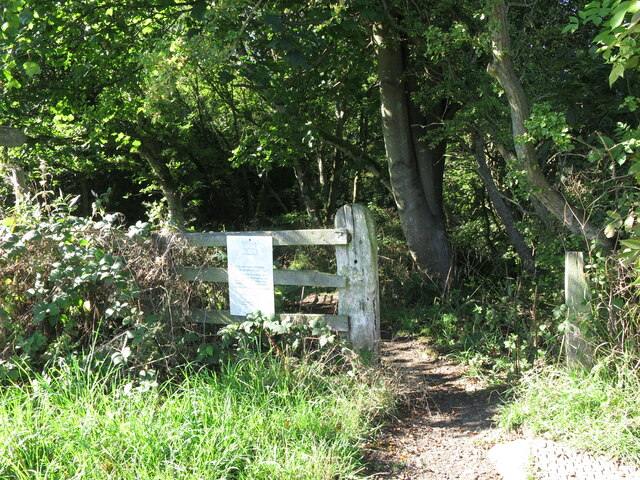
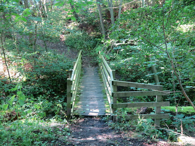
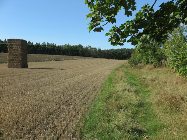
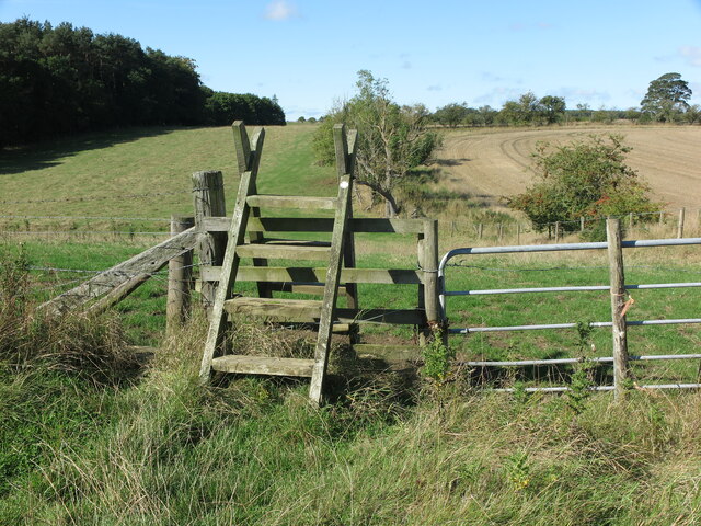
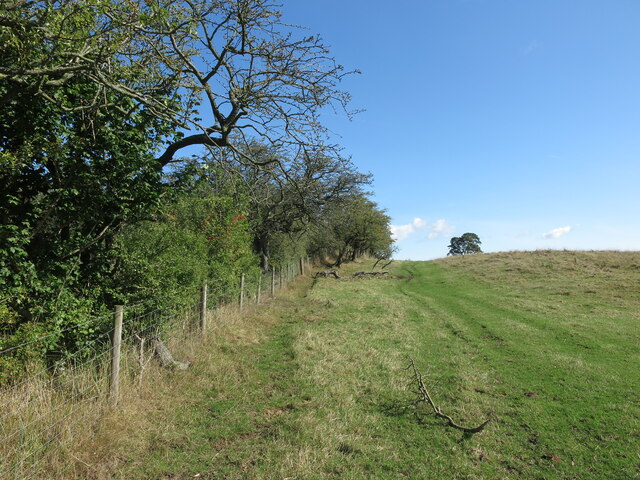
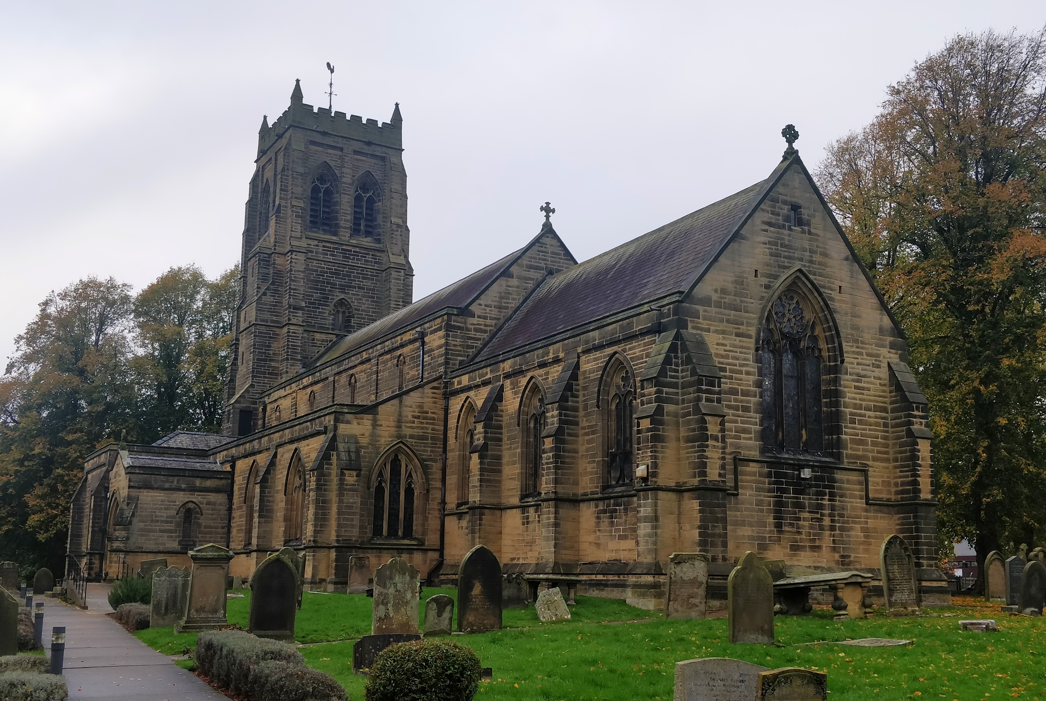
Netherton Park Images

Images are sourced within 2km of 55.118756/-1.6626141 or Grid Reference NZ2180. Thanks to Geograph Open Source API. All images are credited.

Ridley Arms, Stannington
Old Hearse House, Stannington Dating from 1871 this stone built former hearse house is a Grade II Listed building. The gable front which faces the street has double boarded doors in a  
segmental arch with a datestone above.
Old Hearse House, Stannington
Dating from 1871 this stone built former hearse house is a Grade II Listed building. The gable front which faces the street has double boarded doors in a segmental arch with a datestone above.
Ridley Arms, Stannington Believed to have been built in the 17th century as a coaching inn, on what at that time would have been the route of the Great North Road, by the Howard Family (Earls of Carlisle) and named 'The Howard Arms'. It was subsequently renamed as the 'Ridley Arms' in the 1950's.
Ridley Arms, Stannington
Believed to have been built in the 17th century as a coaching inn, on what at that time would have been the route of the Great North Road, by the Howard Family (Earls of Carlisle) and named 'The Howard Arms'. It was subsequently renamed as the 'Ridley Arms' in the 1950's.
Rose Cottage, Stannington This Grade II Listed four-bayed cottage was built in the early part of the 19th century and is located at the heart of this pretty village.
Rose Cottage, Stannington
This Grade II Listed four-bayed cottage was built in the early part of the 19th century and is located at the heart of this pretty village.
Bus Shelter, Stannington Dated 1937, and designed by Laurence Whistler, this Grade II Listed building is constructed of wood on a squared stone plinth with a swept Lakeland slate roof. It is one of a pair presented to the village by Lord Ridley to commemorate the coronation of King George VI and stands alongside what was once the route of the Great North Road. In the Second Edition of Nikolaus Pevsner's, 'The Buildings of England Northumberland' the pair of shelters were described as, “two pretty little bus shelters” and indeed they are.
Bus Shelter, Stannington
Dated 1937, and designed by Laurence Whistler, this Grade II Listed building is constructed of wood on a squared stone plinth with a swept Lakeland slate roof. It is one of a pair presented to the village by Lord Ridley to commemorate the coronation of King George VI and stands alongside what was once the route of the Great North Road. In the Second Edition of Nikolaus Pevsner's, 'The Buildings of England Northumberland' the pair of shelters were described as, “two pretty little bus shelters” and indeed they are.
Bus Shelter, Stannington Dated 1937, and designed by Laurence Whistler, this Grade II Listed building is constructed of wood on a squared stone plinth with a swept Lakeland slate roof. It is one of a pair ( the other one can be seen at <a title="https://www.geograph.org.uk/photo/7281784" href="https://www.geograph.org.uk/photo/7281784">Link</a> ) presented to the village by Lord Ridley to commemorate the coronation of King George VI and stands alongside what was once the route of the Great North Road. In the Second Edition of Nikolaus Pevsner's, 'The Buildings of England Northumberland' the pair of shelters were described as, “two pretty little bus shelters” and indeed they are.
Bus Shelter, Stannington
Dated 1937, and designed by Laurence Whistler, this Grade II Listed building is constructed of wood on a squared stone plinth with a swept Lakeland slate roof. It is one of a pair ( the other one can be seen at Link ) presented to the village by Lord Ridley to commemorate the coronation of King George VI and stands alongside what was once the route of the Great North Road. In the Second Edition of Nikolaus Pevsner's, 'The Buildings of England Northumberland' the pair of shelters were described as, “two pretty little bus shelters” and indeed they are.
Drinking Fountain, Church Road, Stannington Dated 1902 this Grade II Listed drinking fountain stands on a stepped square base with a spout and bowl, and carrying a circular column with an inscription relating to how the fountain water was brought to the village by Viscount Ridley, to commemorate the Coronation of King Edward VII and Queen Alexandra. It has a moulded cap with ball finial. It also doubles as a War Memorial.
Drinking Fountain, Church Road, Stannington
Dated 1902 this Grade II Listed drinking fountain stands on a stepped square base with a spout and bowl, and carrying a circular column with an inscription relating to how the fountain water was brought to the village by Viscount Ridley, to commemorate the Coronation of King Edward VII and Queen Alexandra. It has a moulded cap with ball finial. It also doubles as a War Memorial.
Lych Gate, Church of St. Mary the Virgin, Church Road, Stannington Grade II Listed and dated 1893 on rear tie-beam, this gate was given by Viscount Ridley and constructed of oak on a squared stone base with a red tile roof. It was described in the Second Edition of Nikolaus Pevsner's, 'The Buildings of England Northumberland ' as, “a good timber-framed lychgate”.
Lych Gate, Church of St. Mary the Virgin, Church Road, Stannington
Grade II Listed and dated 1893 on rear tie-beam, this gate was given by Viscount Ridley and constructed of oak on a squared stone base with a red tile roof. It was described in the Second Edition of Nikolaus Pevsner's, 'The Buildings of England Northumberland ' as, “a good timber-framed lychgate”.
Church of St. Mary the Virgin, Church Road, Stannington This 1871 Grade II Listed building by R.J. Johnson of Newcastle, incorporates a 13th century north arcade of a medieval church. The church was described in the Second Edition of Nikolaus Pevsner's,  'The Buildings of England Northumberland' as, “Quite an imposing church”.
Church of St. Mary the Virgin, Church Road, Stannington
This 1871 Grade II Listed building by R.J. Johnson of Newcastle, incorporates a 13th century north arcade of a medieval church. The church was described in the Second Edition of Nikolaus Pevsner's, 'The Buildings of England Northumberland' as, “Quite an imposing church”.
Horses, Town Farm, Church Road, Stannington This pleasant view from Church Road looks across the fields of Town Farm to the valley of the Catraw Burn and beyond to the wooded Blagdon Estate.
Horses, Town Farm, Church Road, Stannington
This pleasant view from Church Road looks across the fields of Town Farm to the valley of the Catraw Burn and beyond to the wooded Blagdon Estate.
Plaque, Church Road, Stannington This plaque stands on the opposite side of Church Road to the Drinking Fountain shown at <a title="https://www.geograph.org.uk/photo/7281800" href="https://www.geograph.org.uk/photo/7281800">Link</a> which also doubles as a War Memorial.
Plaque, Church Road, Stannington
This plaque stands on the opposite side of Church Road to the Drinking Fountain shown at Link which also doubles as a War Memorial.
Swan Farmhouse, Stannington This large farmhouse is Grade II Listed and was described in the Second Edition of Nikolaus Pevsner's, 'The Buildings of England Northumberland' as a, “Superior-quality three-bay farmhouse with rusticated quoins and architraves”. The house dates from the mid 18th century and has an early 19th century extension with a 20th century porch. It stands alongside what was once the route of the Great North Road.
Swan Farmhouse, Stannington
This large farmhouse is Grade II Listed and was described in the Second Edition of Nikolaus Pevsner's, 'The Buildings of England Northumberland' as a, “Superior-quality three-bay farmhouse with rusticated quoins and architraves”. The house dates from the mid 18th century and has an early 19th century extension with a 20th century porch. It stands alongside what was once the route of the Great North Road.
Road (Formerly the route of the Great North Road), Stannington This quiet, now virtually traffic-free road, was once part of the Great North Road route between London and Edinburgh. Ahead, around the bend, lies the pretty village of Stannington.
Road (Formerly the route of the Great North Road), Stannington
This quiet, now virtually traffic-free road, was once part of the Great North Road route between London and Edinburgh. Ahead, around the bend, lies the pretty village of Stannington.
Public Footpath, Stannington This public footpath, which passes over land belonging to Blagdon Estates, leaves the route of the old Great North Road at this point for a 2.5 mile undulating journey to Bellasis Bridge.
Public Footpath, Stannington
This public footpath, which passes over land belonging to Blagdon Estates, leaves the route of the old Great North Road at this point for a 2.5 mile undulating journey to Bellasis Bridge.
Footbridge over Catraw Burn, Stannington This small footbridge crosses the Catraw Burn, which ultimately, some 500 metres downstream, joins the River Blyth as it flows through Stannington Vale.
Footbridge over Catraw Burn, Stannington
This small footbridge crosses the Catraw Burn, which ultimately, some 500 metres downstream, joins the River Blyth as it flows through Stannington Vale.
Public Footpath, Stannington This public footpath, which passes over land belonging to Blagdon Estates, links the route of the old Great North Road with Bellasis Bridge, a journey of some 2.5 miles. At this point the narrow path hugs the edge of a field which has recently been harvested.
Public Footpath, Stannington
This public footpath, which passes over land belonging to Blagdon Estates, links the route of the old Great North Road with Bellasis Bridge, a journey of some 2.5 miles. At this point the narrow path hugs the edge of a field which has recently been harvested.
Ladder Stile, Stannington This ladder stile lies on the route of a public footpath which runs from the route of the old Great North Road to Bellasis Bridge, a distance of some 2.5 miles.
Ladder Stile, Stannington
This ladder stile lies on the route of a public footpath which runs from the route of the old Great North Road to Bellasis Bridge, a distance of some 2.5 miles.
Field Boundary, Stannington This field boundary lies close to the route of a public footpath running between the route of the old Great North Road and Bellasis Bridge.
Field Boundary, Stannington
This field boundary lies close to the route of a public footpath running between the route of the old Great North Road and Bellasis Bridge.
Show me another place!

Netherton Park is located at Grid Ref: NZ2180 (Lat: 55.118756, Lng: -1.6626141)

Unitary Authority: Northumberland

Police Authority: Northumbria

What 3 Words

///stays.condition.cities. Near Stannington, Northumberland

Related Wikis

Stannington, Northumberland

Stannington is a village and civil parish in Northumberland, England. The population of the civil parish was 1,219 at the 2001 Census, increasing to 1...

Stannington railway station

Stannington railway station was a railway station which served the village of Stannington in Northumberland, England. It was located on the East Coast...

Nedderton

Nedderton is a village in Northumberland, England about 4 miles (6 km) southeast of Morpeth, just off the A192 road. == History == In the early part of...

Clifton, Northumberland

Clifton is a hamlet in Northumberland, in England. The population is between 20 and 30. It is situated a short distance to the south of Morpeth, on the...

Plessey Woods Country Park

Plessey Woods is a country park situated on the north bank of the River Blyth, in Northumberland. The park is accessed from the A192 in the village of...

Plessey railway station

Plessey railway station served the hamlet of Plessey, Northumberland, England from 1859 to 1962 on the East Coast Main Line. == History == The station...

Glororum, Stannington

Glororum is a hamlet in the civil parish of Stannington in Northumberland, England, about 0.6 miles (1 km) west of Clifton and the A1 road. The nearest...

St Mary's Hospital, Stannington

St Mary's Hospital was a mental health facility near Stannington, Northumberland, England. It was opened in 1910 and closed permanently in 1995. It was...

Nearby Amenities

Located within 500m of 55.118756,-1.6626141
Motorway Junction
Lat/Long: 55.1180909/-1.6695126
Mini Roundabout
Direction: clockwise
Lat/Long: 55.1186469/-1.6595493
Power: pole
Lat/Long: 55.1224753/-1.6661159
Power: pole
Lat/Long: 55.1225485/-1.6647021
Power: pole
Lat/Long: 55.1227191/-1.6632276
Power: pole
Lat/Long: 55.1229212/-1.6617356
Barrier: cattle_grid
Lat/Long: 55.1165986/-1.6691092
Man Made: tower
Tower Type: communication
Lat/Long: 55.1168813/-1.655504
Barrier: stile
Source: survey
Lat/Long: 55.1204401/-1.6620335
Power: pole
Lat/Long: 55.1224223/-1.6587654
Power: pole
Lat/Long: 55.1219989/-1.6585778
Power: pole
Lat/Long: 55.121585/-1.6583945
Power: pole
Lat/Long: 55.1211861/-1.6582179
Power: pole
Lat/Long: 55.1207768/-1.6580366
Power: pole
Source: survey
Lat/Long: 55.1202691/-1.6578117
Post Box
Collection Times: Mo-Fr 16:45; Sa 09:45
Operator: Royal Mail
Post Box Type: lamp
Ref: NE61 243
Royal Cypher: EIIR
Royal Cypher Wikidata: Q33102113
Source: survey
Lat/Long: 55.119514/-1.6623741
Barrier: yes
Lat/Long: 55.1221196/-1.6665954
Crossing
Lat/Long: 55.1191862/-1.6684559
The data included in this document is from www.openstreetmap.org. The data is made available under ODbL.

Have you been to Netherton Park?

Leave your review of Netherton Park below (or comments, questions and feedback).