Netherurd
Settlement in Peeblesshire
Scotland
Netherurd

Netherurd is a small village located in the county of Peeblesshire, Scotland. Situated approximately 4 miles south of the town of West Linton, it is nestled in a picturesque rural setting. The village is surrounded by rolling hills, lush green fields, and bordered by the stunning River Lyne.
Historically, Netherurd has been an agricultural community, with farming playing a significant role in the local economy. The village retains its rural charm, and many traditional farmhouses and cottages can be found dotting the landscape.
Despite its small size, Netherurd has a strong sense of community. The village is home to a close-knit population, and residents take pride in maintaining the beauty of their surroundings. The local community center serves as a hub for social gatherings, events, and recreational activities, fostering a sense of togetherness among the villagers.
Netherurd is a haven for outdoor enthusiasts, offering a range of activities for nature lovers. The area boasts numerous walking and cycling trails, allowing visitors to explore the stunning countryside and take in breathtaking views. The River Lyne is a popular spot for fishing, attracting anglers from far and wide.
While Netherurd may not have many amenities within its boundaries, the nearby town of West Linton provides access to essential services, including shops, schools, and healthcare facilities. Additionally, the village's proximity to the city of Edinburgh, located around 20 miles north, offers residents the opportunity to enjoy the cultural and commercial offerings of a larger urban center.
In summary, Netherurd is a charming rural village in Peeblesshire, Scotland, known for its natural beauty, strong community spirit, and outdoor recreational opportunities.
If you have any feedback on the listing, please let us know in the comments section below.
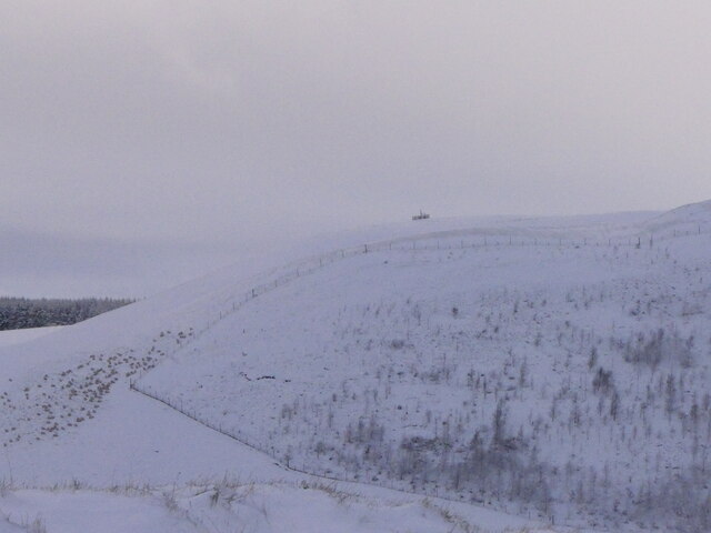
Netherurd Images
Images are sourced within 2km of 55.689683/-3.3968287 or Grid Reference NT1244. Thanks to Geograph Open Source API. All images are credited.


Netherurd is located at Grid Ref: NT1244 (Lat: 55.689683, Lng: -3.3968287)
Unitary Authority: The Scottish Borders
Police Authority: The Lothians and Scottish Borders
What 3 Words
///underway.rift.loom. Near West Linton, Scottish Borders
Related Wikis

Kirkurd
Kirkurd is a parish in Peeblesshire in the Scottish Borders situated 3 miles south-east of Dolphinton and 6 miles north-east of Broughton. Tarth Water...
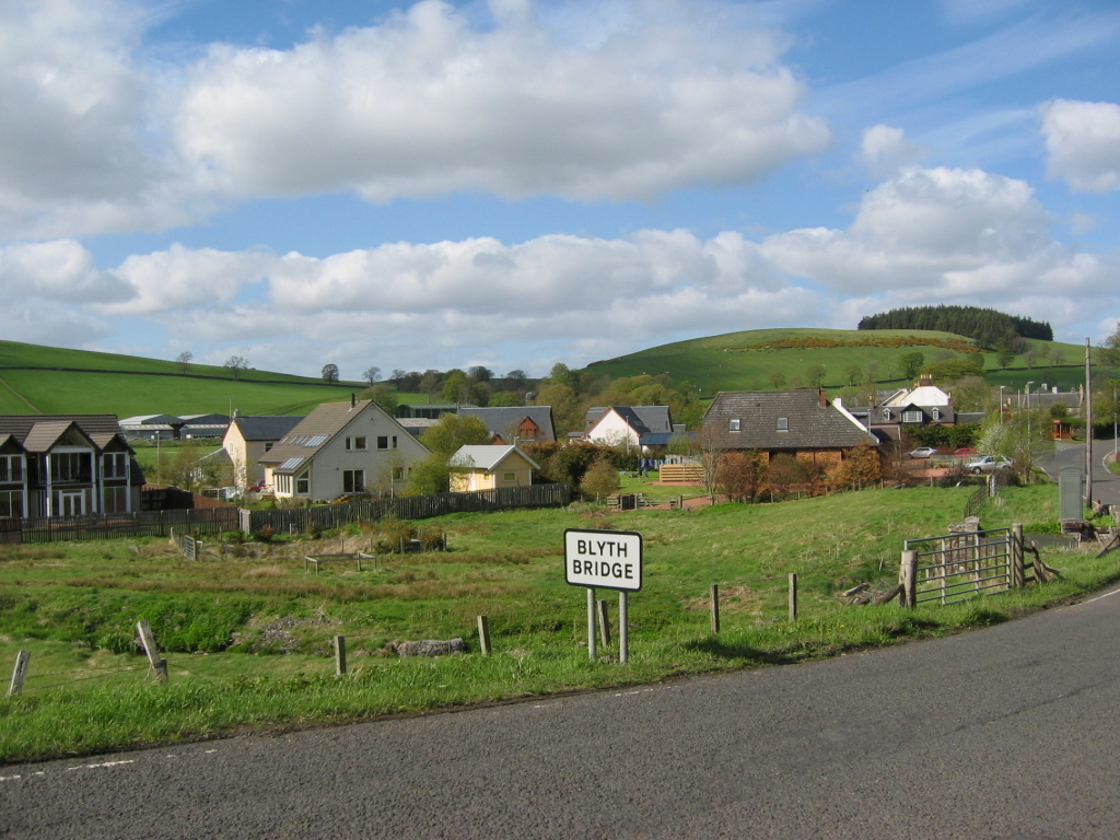
Blyth Bridge
Blyth Bridge is a small hamlet in the Scottish Borders area of Scotland, near to West Linton. It is located in a bend on the A701 which goes from Moffat...
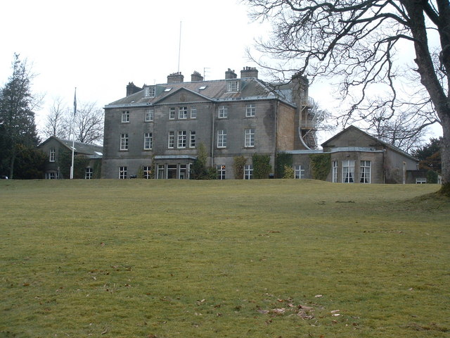
Castle Craig Hospital
Castle Craig Hospital is a private residential drug and alcohol rehabilitation clinic. It is located in Peeblesshire, Scotland. Castle Craig is an 18th...

Dolphinton
Dolphinton is a village and parish in Lanarkshire, Scotland. It is located 7 miles (11 km) northeast of Biggar, 11 miles (18 km) northeast of Carstairs...
Nearby Amenities
Located within 500m of 55.689683,-3.3968287Have you been to Netherurd?
Leave your review of Netherurd below (or comments, questions and feedback).