Netherton
Settlement in Herefordshire
England
Netherton
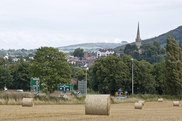
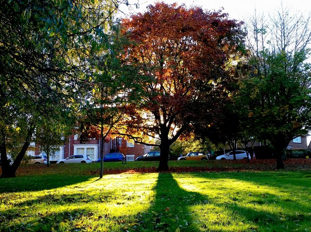
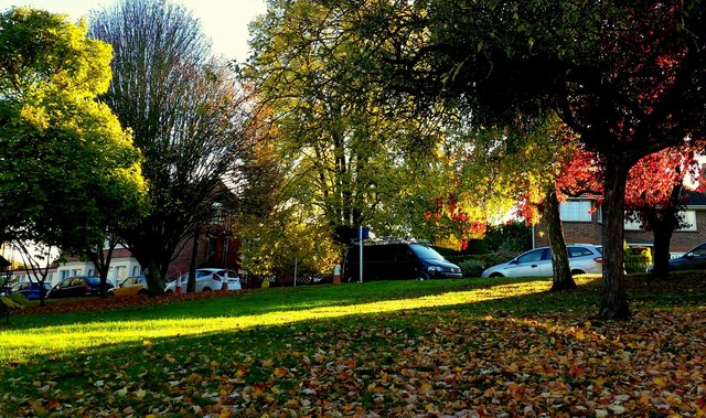
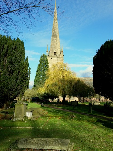
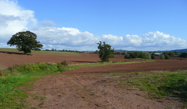
Netherton is a small village located in the county of Herefordshire, England. Situated in the picturesque Wye Valley, it is surrounded by rolling hills and offers stunning views of the countryside. Netherton is part of the larger civil parish of Mordiford, and it lies approximately 8 miles east of the city of Hereford.
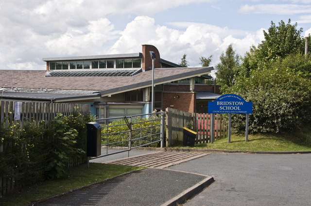
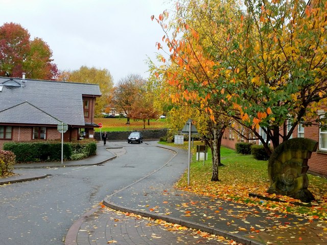
The village is known for its charming rural character, with a population of around 400 residents. It is predominantly a residential area, with a few local amenities such as a village hall and a post office. Netherton also has a primary school, providing education for children in the local area.
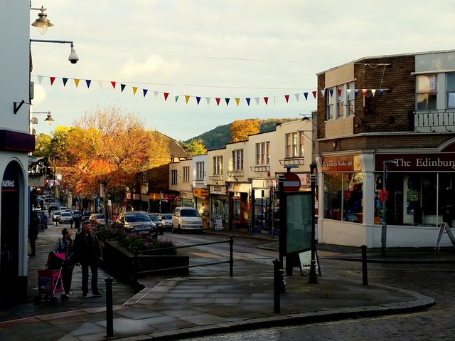
The village is well-connected to the surrounding areas, with regular bus services running to Hereford and nearby towns. The Wye Valley Walk, a popular long-distance footpath, passes through Netherton, attracting hikers and nature enthusiasts.
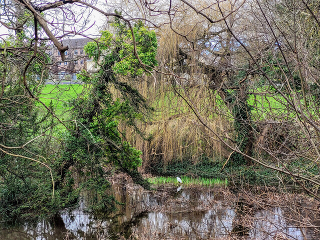
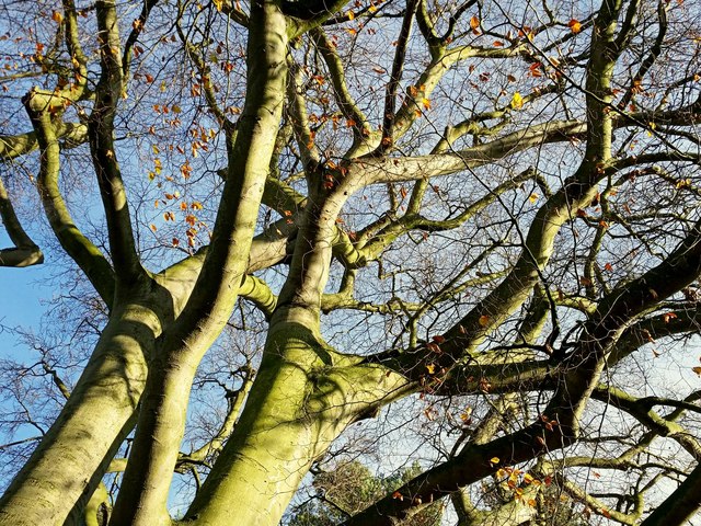
Netherton is surrounded by beautiful countryside, offering ample opportunities for outdoor activities such as walking, cycling, and fishing. The nearby River Wye is renowned for its scenic beauty and is a popular spot for canoeing and kayaking.
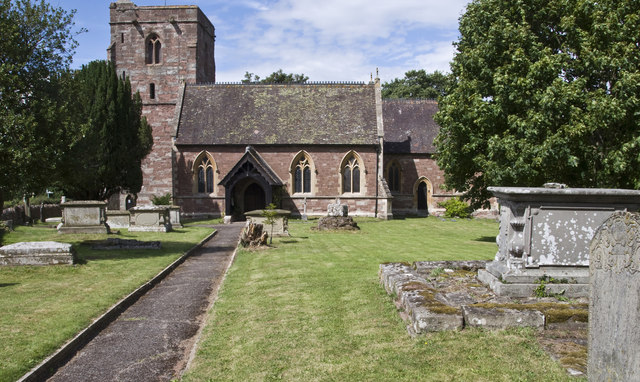
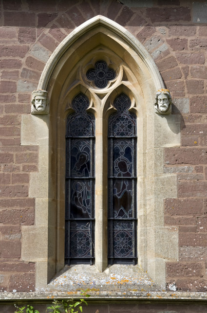
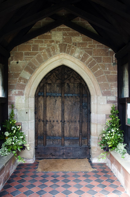
The village has a rich history, with evidence of human settlement dating back to the Iron Age. Netherton is also known for its proximity to the historic Mordiford Church, which dates back to the 12th century and is a notable landmark in the area.
Overall, Netherton is a tranquil and idyllic village in Herefordshire, offering a peaceful retreat amidst natural beauty and a close-knit community.
If you have any feedback on the listing, please let us know in the comments section below.
Netherton Images
Images are sourced within 2km of 51.929566/-2.5828071 or Grid Reference SO6025. Thanks to Geograph Open Source API. All images are credited.
Netherton is located at Grid Ref: SO6025 (Lat: 51.929566, Lng: -2.5828071)
Unitary Authority: County of Herefordshire
Police Authority: West Merica
What 3 Words
///sting.situation.saloons. Near Ross on Wye, Herefordshire
Nearby Locations
Related Wikis
Brampton Abbotts
Brampton Abbotts is a village and civil parish in Herefordshire, England. It is located 2 km north of Ross-on-Wye and 16 km south east of Hereford. The...

John Kyrle High School
John Kyrle High School is a secondary school with academy status situated in Ross-on-Wye, Herefordshire, England. It is named after the philanthropist...

Ross Spur Services
Ross Spur Services is a southbound-only service area on the A449 at the end of the M50 motorway. Formerly operated by BP, it is now owned by Euro Garages...

Ross Rowing Club
Ross Rowing Club is a rowing club on the River Wye, based at The Ropewalk, Ross-on-Wye, Herefordshire. The Ross Regatta is held over the August Bank Holiday...
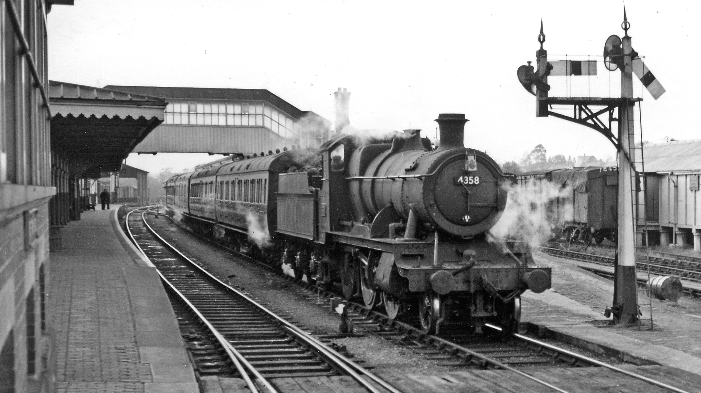
Ross-on-Wye railway station
Ross-on-Wye railway station is a former junction railway station on the Hereford, Ross and Gloucester Railway constructed just to the north of the Herefordshire...

Corn Exchange, Ross-on-Wye
The Corn Exchange is a commercial building in the High Street in Ross-on-Wye, Herefordshire, England. The structure, which is now used as a bookshop and...

Herefordshire Trail
The Herefordshire Trail is a long distance footpath in Herefordshire, England. == Route and distance == The trail, running for 154 miles (248 km) as a...

Ross-on-Wye
Ross-on-Wye is a market town and civil parish in Herefordshire, England, near the border with Wales. It had a population estimated at 10,978 in 2021. It...
Nearby Amenities
Located within 500m of 51.929566,-2.5828071Have you been to Netherton?
Leave your review of Netherton below (or comments, questions and feedback).