Netherton
Settlement in Somerset South Somerset
England
Netherton
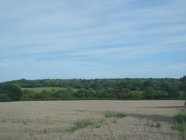
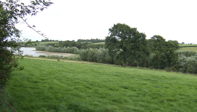
Netherton is a small village located in the county of Somerset, in the southwest of England. It is situated within the Mendip Hills Area of Outstanding Natural Beauty, offering residents and visitors breathtaking views of the surrounding countryside.
The village has a rich history, dating back to medieval times. It is known for its charming stone cottages, traditional architecture, and narrow winding streets which add to its picturesque appeal. The centerpiece of Netherton is its historic church, St. Mary's, which dates back to the 14th century and is a prominent feature on the local landscape.
Despite its small size, Netherton boasts a close-knit community that takes pride in its village. There is a local pub, The Netherton Arms, where residents can gather for a pint and a chat. The village also has a primary school, providing education for the local children.
Nature lovers are drawn to Netherton due to its proximity to stunning natural landscapes. The Mendip Hills offer a variety of walking and hiking trails, providing ample opportunities for outdoor enthusiasts to explore the area's beauty.
Netherton is conveniently located close to the larger towns of Wells and Shepton Mallet, both offering a wider range of amenities such as shops, supermarkets, and leisure facilities. The village is also well-connected to the rest of Somerset, with good road links to nearby cities like Bristol and Bath.
In summary, Netherton is a charming village in Somerset with a rich history, beautiful scenery, and a strong sense of community. It is an ideal place for those seeking a peaceful and idyllic countryside lifestyle.
If you have any feedback on the listing, please let us know in the comments section below.
Netherton Images
Images are sourced within 2km of 50.898944/-2.6283713 or Grid Reference ST5511. Thanks to Geograph Open Source API. All images are credited.


Netherton is located at Grid Ref: ST5511 (Lat: 50.898944, Lng: -2.6283713)
Administrative County: Somerset
District: South Somerset
Police Authority: Avon and Somerset
What 3 Words
///price.donation.swimsuits. Near Yetminster, Dorset
Nearby Locations
Related Wikis

Closworth
Closworth is a village and civil parish in Somerset, England, 5 miles (8.0 km) south of Yeovil in the South Somerset district, on the border with Dorset...

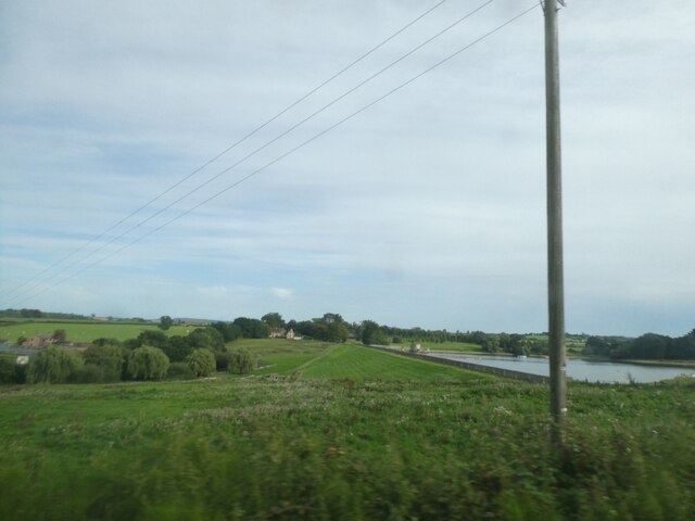
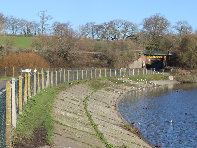
Sutton Bingham Reservoir
Sutton Bingham Reservoir is a reservoir near the village of Sutton Bingham in the civil parish of Closworth, Somerset, England. The reservoir was built...

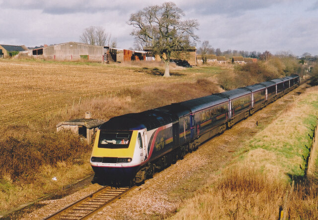
Sutton Bingham Halt railway station
Sutton Bingham Halt railway station served the hamlet of Sutton Bingham, South Somerset, England, from 1860 to 1962 on the West of England line. ��2�...
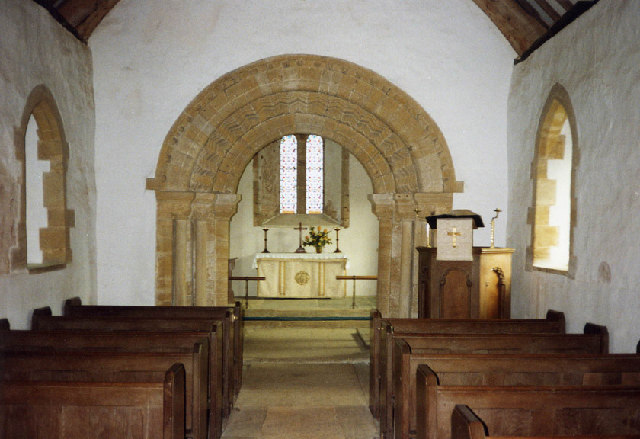
Church of All Saints, Sutton Bingham
The Church of All Saints in Sutton Bingham in the civil parish of Closworth, Somerset, England, dates from the 12th and 13th centuries and has been designated...
Church of All Saints, Closworth
The Church of All Saints in Closworth, Somerset, England was built in the 13th century. It is a Grade II* listed building. == History == The church was...

East Coker
East Coker is a village and civil parish in the South Somerset district of Somerset, England. Its nearest town is Yeovil, two miles (3.2 km) to the north...

St Michael and All Angels' Church, East Coker
St Michael and All Angels’ Church is a Grade II* listed parish church in the Church of England in East Coker, Somerset. == History == The church dates...

Helyar Almshouses
The Helyar Almshouses were erected between 1640 and 1660 by William Helyar Archdeacon of Barnstable of Coker Court, East Coker, Somerset, England. The...
Nearby Amenities
Located within 500m of 50.898944,-2.6283713Have you been to Netherton?
Leave your review of Netherton below (or comments, questions and feedback).