Netherhope

Settlement in Gloucestershire Forest of Dean

England

Netherhope

The Grotto in Piercefield Woods This feature, along with several others on a similar 'Romantic' theme, was installed in Piercefield Park and woods and comprised part of a tour through this area between around 1760 and maybe the 1820's. Gentry came from various parts of the country and toured the Wye Valley inspecting folly's, caves, walks, viewpoints and landscapes and often recording their opinions and thoughts in journals and publications. Originally this grotto was of course larger, more complete and lined inside with 'glittering crystalline minerals, glass fragments and iron and copper slag'. This would have created an elaborate decorated effect intended to mimic naturally occurring outcrops. I'm glad to see the Piercefield Walks features receiving some improvement.
The Grotto in Piercefield Woods Credit: Jeremy Bolwell

Netherhope is a small village located in the county of Gloucestershire, England. Situated in the beautiful Cotswolds region, it is known for its picturesque countryside and quaint charm. With a population of around 500 residents, Netherhope retains a close-knit community atmosphere.

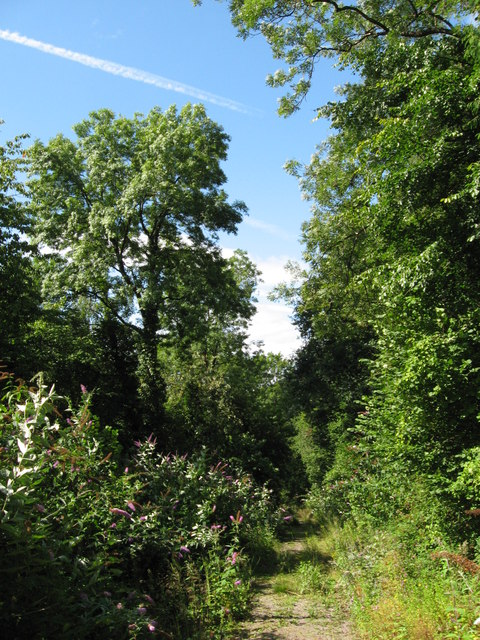
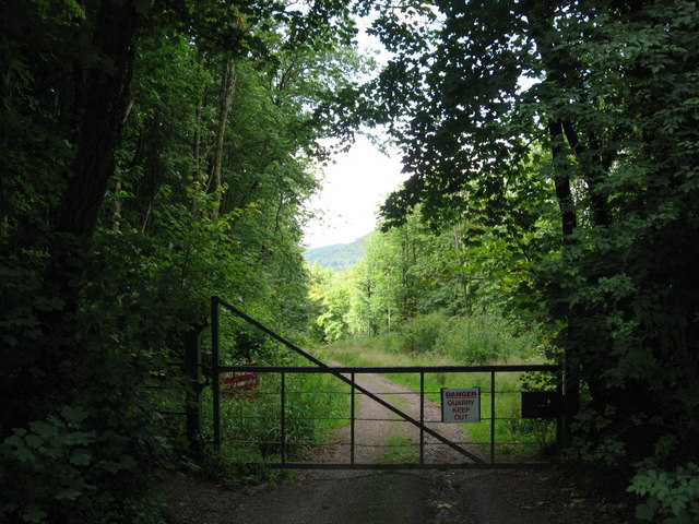
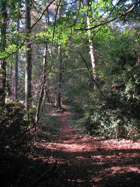
The village is nestled amidst rolling hills and green meadows, offering breathtaking views of the surrounding countryside. Its idyllic location makes it a popular destination for nature lovers and outdoor enthusiasts. There are numerous walking and cycling trails in the area, allowing visitors to explore the scenic landscapes.

Netherhope is home to a few historic buildings, including the St. Mary's Church, which dates back to the 13th century. The church features stunning architectural details and serves as a reminder of the village's rich heritage. Additionally, there are a number of traditional stone cottages scattered throughout the village, adding to its charm and character.

While there are no major amenities within Netherhope itself, the nearby towns of Cheltenham and Gloucester offer a range of services and facilities. Residents have easy access to supermarkets, schools, healthcare facilities, and other essential amenities.

Overall, Netherhope offers a peaceful and tranquil setting for those seeking a rural retreat. Its natural beauty, friendly community, and proximity to larger towns make it an ideal place to reside or visit for a relaxing countryside experience.

If you have any feedback on the listing, please let us know in the comments section below.
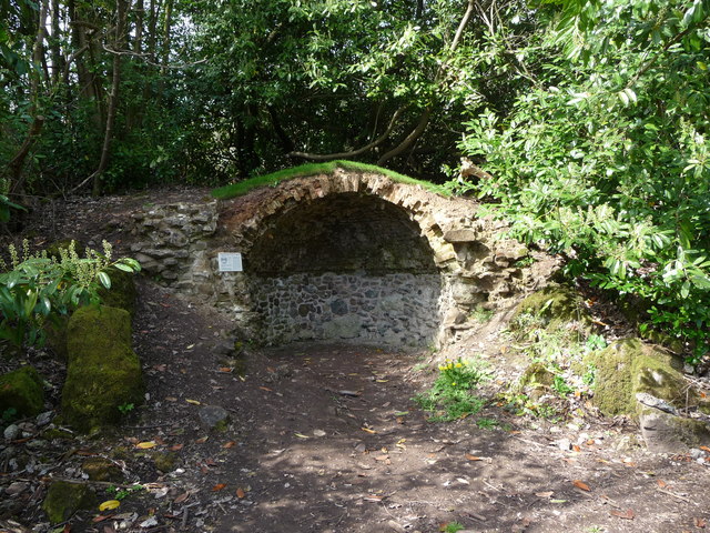
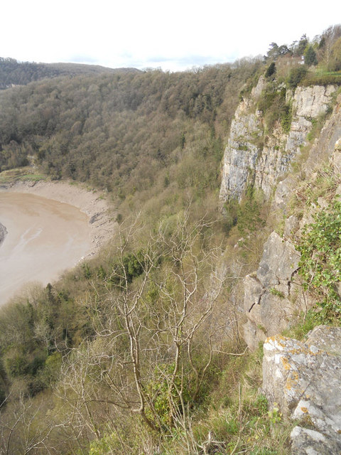
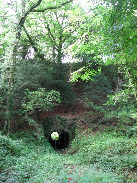
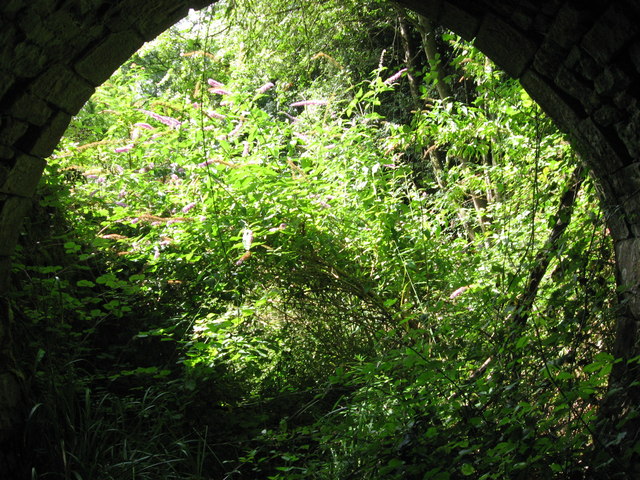
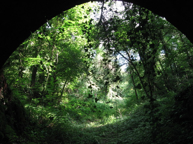
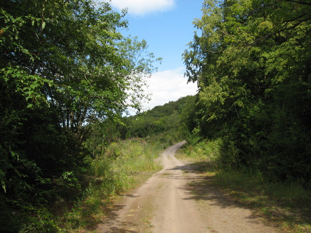
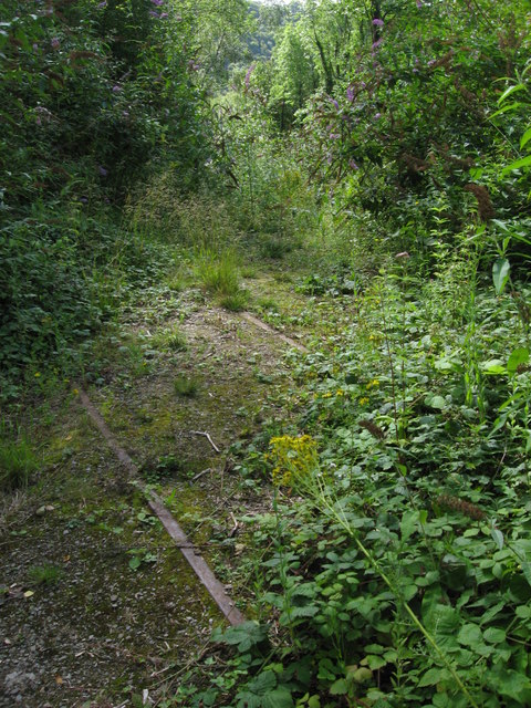
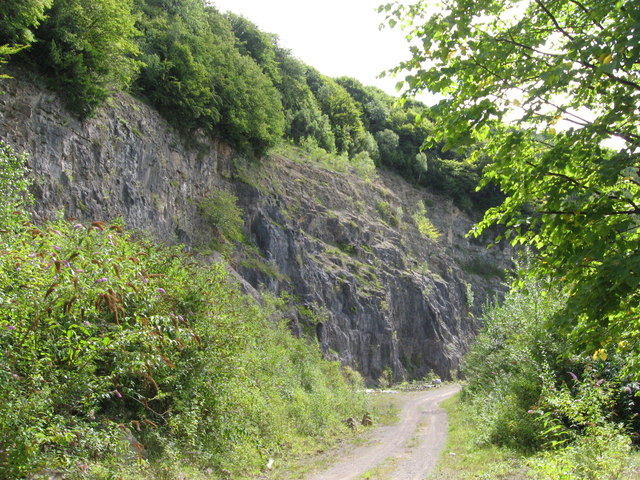
Netherhope Images

Images are sourced within 2km of 51.664292/-2.6529166 or Grid Reference ST5496. Thanks to Geograph Open Source API. All images are credited.

The Grotto in Piercefield Woods This feature, along with several others on a similar 'Romantic' theme, was installed in Piercefield Park and woods and comprised part of a tour through this area between around 1760 and maybe the 1820's. Gentry came from various parts of the country and toured the Wye Valley inspecting folly's, caves, walks, viewpoints and landscapes and often recording their opinions and thoughts in journals and publications. Originally this grotto was of course larger, more complete and lined inside with 'glittering crystalline minerals, glass fragments and iron and copper slag'. This would have created an elaborate decorated effect intended to mimic naturally occurring outcrops. I'm glad to see the Piercefield Walks features receiving some improvement.
The Grotto in Piercefield Woods
This feature, along with several others on a similar 'Romantic' theme, was installed in Piercefield Park and woods and comprised part of a tour through this area between around 1760 and maybe the 1820's. Gentry came from various parts of the country and toured the Wye Valley inspecting folly's, caves, walks, viewpoints and landscapes and often recording their opinions and thoughts in journals and publications. Originally this grotto was of course larger, more complete and lined inside with 'glittering crystalline minerals, glass fragments and iron and copper slag'. This would have created an elaborate decorated effect intended to mimic naturally occurring outcrops. I'm glad to see the Piercefield Walks features receiving some improvement.
Cliff by the River Wye
Tunnel beneath disused railway line near Tintern Quarry
(No) light at the end of the tunnel The path at the western end of the tunnel (<a href="https://www.geograph.org.uk/photo/2544718">ST5498 : Tunnel beneath disused railway line near Tintern Quarry</a>) is very overgrown and currently impassable.
(No) light at the end of the tunnel
The path at the western end of the tunnel (ST5498 : Tunnel beneath disused railway line near Tintern Quarry) is very overgrown and currently impassable.
Path from tunnel under railway near Tintern Quarry The view from the eastern portal of <a href="https://www.geograph.org.uk/photo/2544718">ST5498 : Tunnel beneath disused railway line near Tintern Quarry</a> shows an overgrown, but still passable path.
Path from tunnel under railway near Tintern Quarry
The view from the eastern portal of ST5498 : Tunnel beneath disused railway line near Tintern Quarry shows an overgrown, but still passable path.
Path near Tintern Quarry
Disused railway near Tintern Quarry The rails are still in place, though obviously have not seen a train for many years!
Disused railway near Tintern Quarry
The rails are still in place, though obviously have not seen a train for many years!
Part of Tintern Quarry
Footpath near Tintern Quarry
Gateway to Tintern Quarry
Path through Parson's Allotment Public footpath passing through mixed woodland.
Path through Parson's Allotment
Public footpath passing through mixed woodland.
The look out tower at Tutshill Someone gets giddy mowing around this.
The look out tower at Tutshill
Someone gets giddy mowing around this.
Tutshill lookout tower The tower crowned the hill here commanding views down to the river, the bridge and out into the Bristol Channel / Severn Estuary.
Tutshill lookout tower
The tower crowned the hill here commanding views down to the river, the bridge and out into the Bristol Channel / Severn Estuary.
Summer at Tutshill Offa's Dyke Path crosses the hay meadow here.
Summer at Tutshill
Offa's Dyke Path crosses the hay meadow here.
Path down to the nature reserve Walled on one side and railed in on the other.
Path down to the nature reserve
Walled on one side and railed in on the other.
Path descending towards the River Wye Buddleia prospers beside the path here.
Path descending towards the River Wye
Buddleia prospers beside the path here.
Rockfall below cliffs above the Wye A pretty impressive rockfall with large boulders tumbled down to the river bank.
Rockfall below cliffs above the Wye
A pretty impressive rockfall with large boulders tumbled down to the river bank.
View over the River Wye below Wintour's Leap The distinctive inlet is on the opposite bank.
View over the River Wye below Wintour's Leap
The distinctive inlet is on the opposite bank.
Show me another place!

Netherhope is located at Grid Ref: ST5496 (Lat: 51.664292, Lng: -2.6529166)

Administrative County: Gloucestershire

District: Forest of Dean

Police Authority: Gloucestershire

What 3 Words

///miracle.contemplate.tradition. Near Chepstow, Monmouthshire

Related Wikis

Nearby Amenities

Located within 500m of 51.664292,-2.6529166
Barrier: kissing_gate
Lat/Long: 51.6666306/-2.658514
Netherhope
Historic Railway: halt
Railway: site
Wikidata: Q6999059
Wikipedia: en:Netherhope Halt railway station
Lat/Long: 51.6631172/-2.6506181
The data included in this document is from www.openstreetmap.org. The data is made available under ODbL.

Have you been to Netherhope?

Leave your review of Netherhope below (or comments, questions and feedback).