Mulindry

Settlement in Argyllshire

Scotland

Mulindry

Views towards Coil A Ghuail
Views towards Coil A Ghuail Credit: thejackrustles

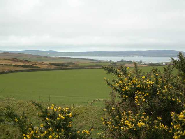
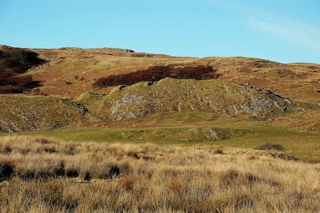
Mulindry is a small rural settlement located in the historic county of Argyllshire, Scotland. Situated on the western coast of Scotland, it lies within the council area of Argyll and Bute. Mulindry is nestled amidst picturesque landscapes, surrounded by rolling hills and stunning views of the nearby Loch Fyne.

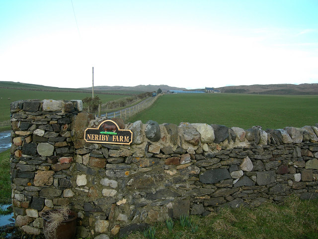
The settlement of Mulindry consists mainly of traditional stone houses, reflecting its long-standing history. The area is known for its tranquil and peaceful atmosphere, attracting visitors looking to escape the busyness of urban life. The local community is close-knit, with a population of around 200 inhabitants.

Although small in size, Mulindry offers a few amenities to its residents and visitors. There is a village shop that provides essential groceries and supplies, ensuring the community's needs are met. Additionally, the settlement boasts a charming local pub, where locals and tourists can gather and enjoy a pint of traditional Scottish ale.

Nature enthusiasts are drawn to Mulindry due to its proximity to the captivating Loch Fyne. The loch offers opportunities for fishing, boating, and scenic walks along its shores. The surrounding hills and forests provide further exploration options, with hiking trails that showcase the region's breathtaking beauty.

Mulindry's location also makes it an ideal base for those wishing to explore the wider Argyllshire region. Within a short drive, visitors can discover ancient castles, historic sites, and other scenic spots such as Inveraray Castle, Argyll Forest Park, and the picturesque village of Tarbert.

In summary, Mulindry is a charming rural settlement in Argyllshire, Scotland, known for its tranquil ambiance, stunning natural landscapes, and proximity to the beautiful Loch Fyne. It offers a peaceful escape from the hustle and bustle of modern life, attracting nature lovers and those seeking a relaxing getaway.

If you have any feedback on the listing, please let us know in the comments section below.
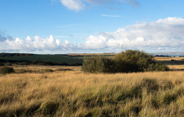
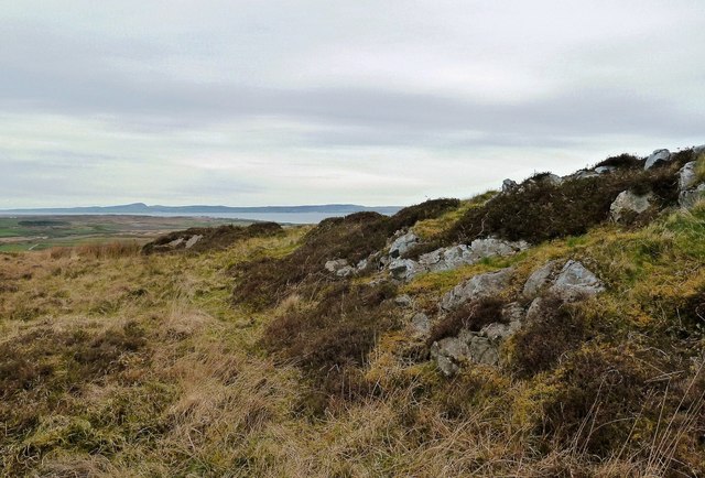
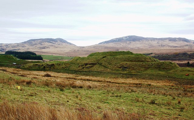
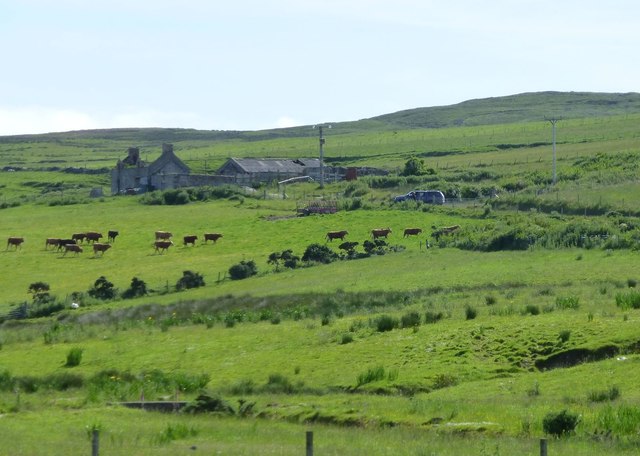
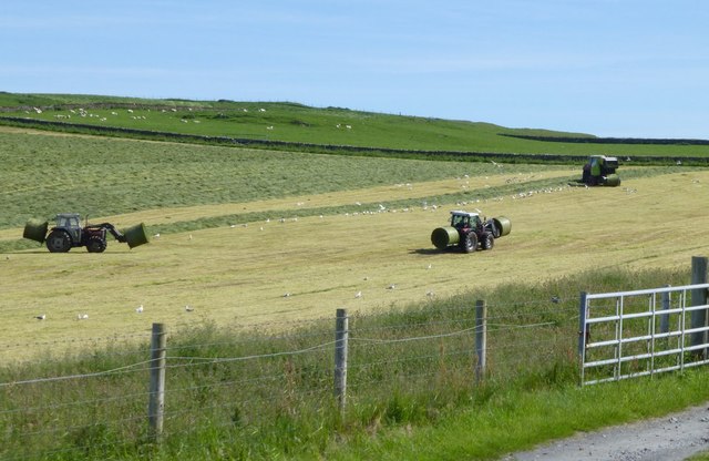
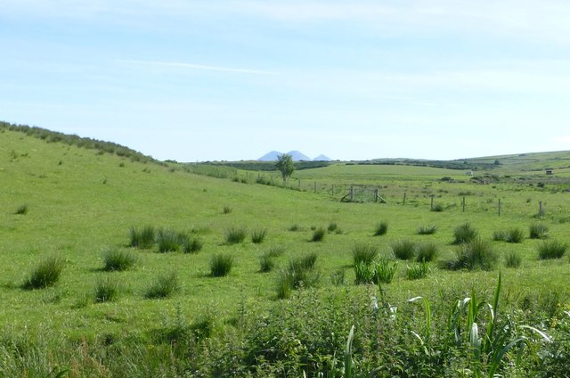
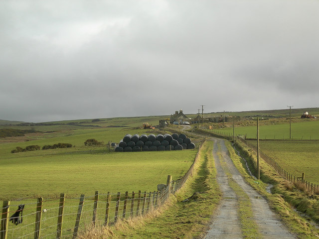
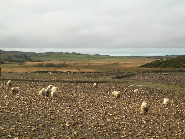
Mulindry Images

Images are sourced within 2km of 55.759198/-6.2042902 or Grid Reference NR3659. Thanks to Geograph Open Source API. All images are credited.

Views towards Coil A Ghuail
Coil A Ghuail Trigpoint Flush Bracket S9007
Dun Nosebridge Fort
Dun Nosebridge Fort
Goirtean Bàn The name Goirtean Bàn appears to refer to this area of moorland and scrub beside the minor road connecting the house at Cluanach with Bridgend.
Goirtean Bàn
The name Goirtean Bàn appears to refer to this area of moorland and scrub beside the minor road connecting the house at Cluanach with Bridgend.
Dun Nosebridge fort This iron age fort is a little out of the way, but if you are interested in history it is well worth a visit.
Dun Nosebridge fort
This iron age fort is a little out of the way, but if you are interested in history it is well worth a visit.
From Creag Mhòr Looking towards Loch Indaal on a dullish April morning.
From Creag Mhòr
Looking towards Loch Indaal on a dullish April morning.
Dun Nosebridge Fort This large fort was defended by steep cliffs on the south-east side supplemented by ramparts and ditches elsewhere.  It’s still a prominent and fascinating site. The name probably comes from the Norse “Knausborg”, meaning “the fort on the crag” but the site is much older, dating back to the Iron Age. This shot was taken on a dullish April day - I'll just have to go back!
Dun Nosebridge Fort
This large fort was defended by steep cliffs on the south-east side supplemented by ramparts and ditches elsewhere. It’s still a prominent and fascinating site. The name probably comes from the Norse “Knausborg”, meaning “the fort on the crag” but the site is much older, dating back to the Iron Age. This shot was taken on a dullish April day - I'll just have to go back!
Ballitarsin Another ruined croft but cattle still graze the pastures.
Ballitarsin
Another ruined croft but cattle still graze the pastures.
Making hay while the sun shines After a week of rain and mist no effort is being spared to get the grass in for silage.
The birds are happy too.
Making hay while the sun shines
After a week of rain and mist no effort is being spared to get the grass in for silage. The birds are happy too.
Marshy field by Ballitarsin With the Paps of Jura just peeping over the horizon.
Marshy field by Ballitarsin
With the Paps of Jura just peeping over the horizon.
View from, and including the rim of the Iron Age fort at Dun Nosebridge. Looking towards Bowmore from the Iron Age fort at Dun Nosebridge.
View from, and including the rim of the Iron Age fort at Dun Nosebridge.
Looking towards Bowmore from the Iron Age fort at Dun Nosebridge.
Ballitarsin Farm
Ballitarsin Farm
Sheep Feeding on Turnips The sheep were sharing their feed with a large flock of White Fronted Geese.
Sheep Feeding on Turnips
The sheep were sharing their feed with a large flock of White Fronted Geese.
From the Neriby Farm Road Looking towards Loch Indaal.
From the Neriby Farm Road
Looking towards Loch Indaal.
Neriby Road-End
Neriby Road-End
Grazing Land Sheep grazing on improved pasture near Cattadale, with one of the snow-topped Paps of Jura in the far distance.
Grazing Land
Sheep grazing on improved pasture near Cattadale, with one of the snow-topped Paps of Jura in the far distance.
Dun Nosebridge Fort Viewed from outside the square, this fort was built during the Iron Age, 600BC-AD400.  The ramparts and ditches are visible on the left-hand side of this shot.  The name "Nosebridge" originates in old Norse language.  (Source: "Islay" by Norman S Newton).
Dun Nosebridge Fort
Viewed from outside the square, this fort was built during the Iron Age, 600BC-AD400. The ramparts and ditches are visible on the left-hand side of this shot. The name "Nosebridge" originates in old Norse language. (Source: "Islay" by Norman S Newton).
Trigpoint, Cnoc Donn, Islay
Show me another place!

Mulindry is located at Grid Ref: NR3659 (Lat: 55.759198, Lng: -6.2042902)

Unitary Authority: Argyll and Bute

Police Authority: Argyll and West Dunbartonshire

What 3 Words

///broadcast.enjoys.intervene. Near Bridgend, Argyll & Bute

Related Wikis

Mulindry House

Mulindry House, also known as Caisteal Mhic Dhomhnuill or Mullintrae House, was a fortified house north of Mulindry Farm, Islay, Scotland. == History... ==

Dun Nosebridge

Dun Nosebridge is an Iron Age fort southeast of Bridgend, Islay, Scotland. The fort is on the right bank of the River Laggan.The name's origin is probably...

River Sorn

The River Sorn is a small river on the Scottish island of Islay. Draining Loch Finlaggan and having gathered the waters of the Allt Ruadh and the Ballygrant...

Islay

Islay ( EYE-lə; Scottish Gaelic: Ìle, Scots: Ila) is the southernmost island of the Inner Hebrides of Scotland. Known as "The Queen of the Hebrides",...

Nearby Amenities

Located within 500m of 55.759198,-6.2042902
Power: pole
Lat/Long: 55.7607201/-6.211535
Power: pole
Lat/Long: 55.7597856/-6.2079791
Power: pole
Lat/Long: 55.7608778/-6.2101468
Power: pole
Lat/Long: 55.7587677/-6.204177
Power: pole
Lat/Long: 55.758009/-6.1997713
Power: pole
Lat/Long: 55.7603738/-6.2102172
Power: pole
Lat/Long: 55.760096/-6.2091602
Power: pole
Lat/Long: 55.7594989/-6.2069083
Power: pole
Lat/Long: 55.7591392/-6.2055645
Power: pole
Lat/Long: 55.7586307/-6.2033817
Power: pole
Lat/Long: 55.7584443/-6.2022992
Power: pole
Lat/Long: 55.7582372/-6.2010964
Power: pole
Lat/Long: 55.7577839/-6.1984758
Power: pole
Lat/Long: 55.7575467/-6.1971101
Power: pole
Lat/Long: 55.7630048/-6.2083115
Power: pole
Lat/Long: 55.7623817/-6.2087686
Power: pole
Lat/Long: 55.7617739/-6.209262
Power: pole
Lat/Long: 55.7612476/-6.209778
The data included in this document is from www.openstreetmap.org. The data is made available under ODbL.

Have you been to Mulindry?

Leave your review of Mulindry below (or comments, questions and feedback).