Mulberry Green

Settlement in Essex Colchester

England

Mulberry Green

Beside a patch of woodland on Easthorpe Road Part of Cantfield's Farm farmhouse can be seen ahead.
Beside a patch of woodland on Easthorpe Road Credit: Trevor Harris

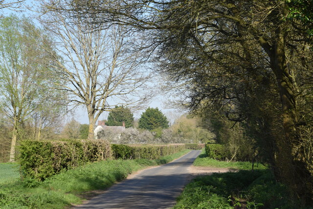
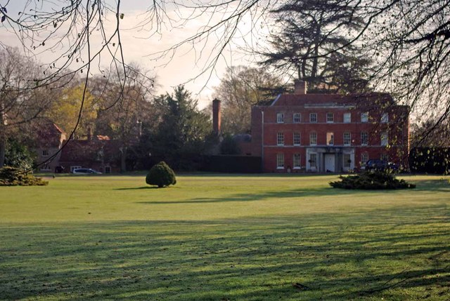
Mulberry Green is a charming village located in the county of Essex, England. Situated in the Epping Forest district, it lies approximately 20 miles northeast of London. The village is surrounded by picturesque countryside, providing a serene and idyllic setting for residents and visitors alike.

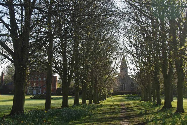
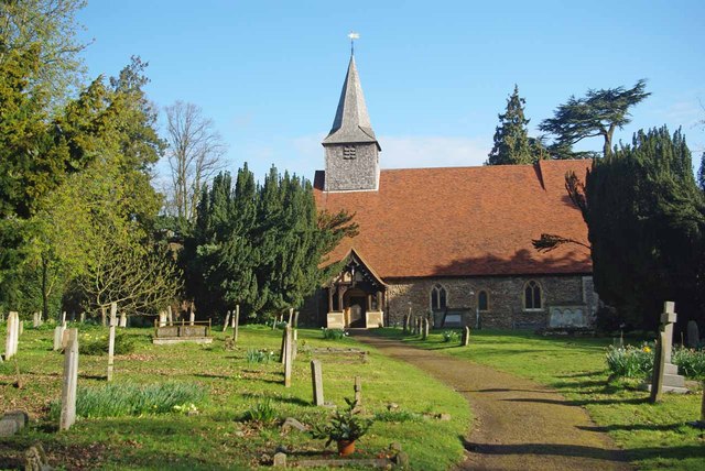
One of the main attractions of Mulberry Green is its historic significance. The village dates back to medieval times, and many of its buildings still retain their original architectural features. The centerpiece of the village is the iconic Mulberry Tree, which is believed to be over 400 years old. This ancient tree serves as a symbol of the village's rich heritage and is a popular spot for locals to gather and relax.

The village offers a range of amenities to cater to the needs of its residents. There is a local primary school, providing education for the younger population, while a community center serves as a hub for various social and recreational activities. Mulberry Green also boasts several quaint shops and cafes, adding to its charm and providing a sense of community.

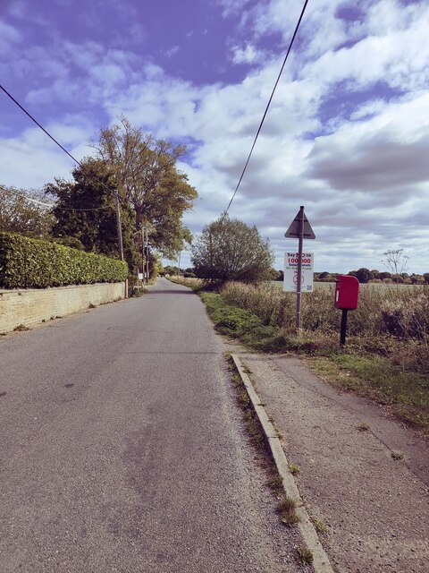
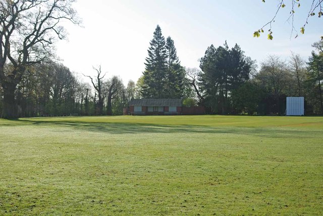
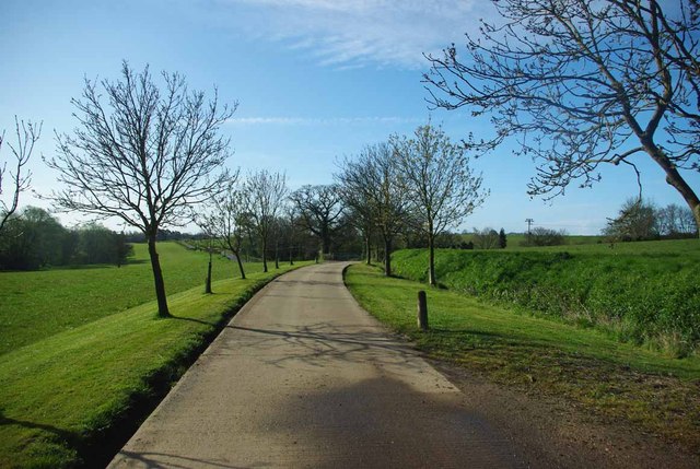
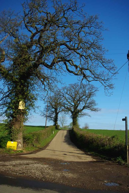
For those seeking outdoor pursuits, the surrounding countryside offers ample opportunities for walking, cycling, and horse riding. The nearby Epping Forest provides a stunning backdrop for nature lovers to explore, with its ancient woodland and diverse wildlife.

Mulberry Green is well-connected to the wider region, with good transport links to London and other nearby towns. The village enjoys a peaceful and close-knit community atmosphere, making it an attractive place to live for those seeking a tranquil and historic setting, while still having easy access to the amenities and opportunities of urban life.

If you have any feedback on the listing, please let us know in the comments section below.

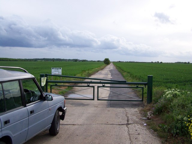
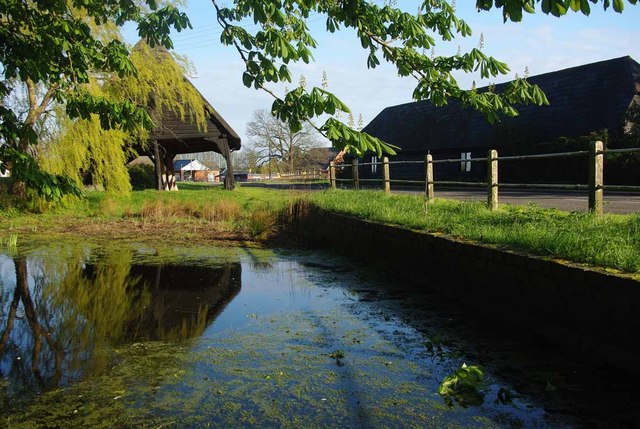
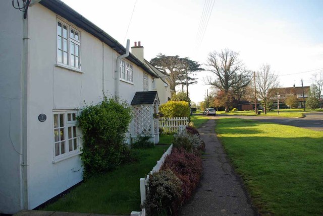
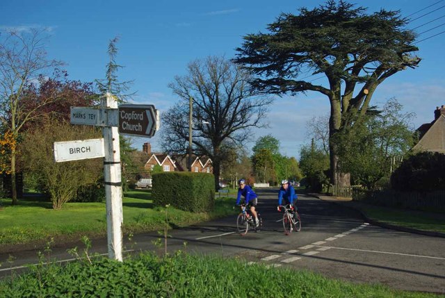
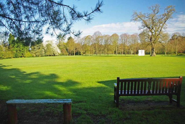
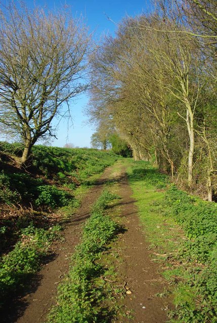
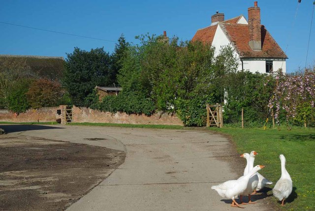
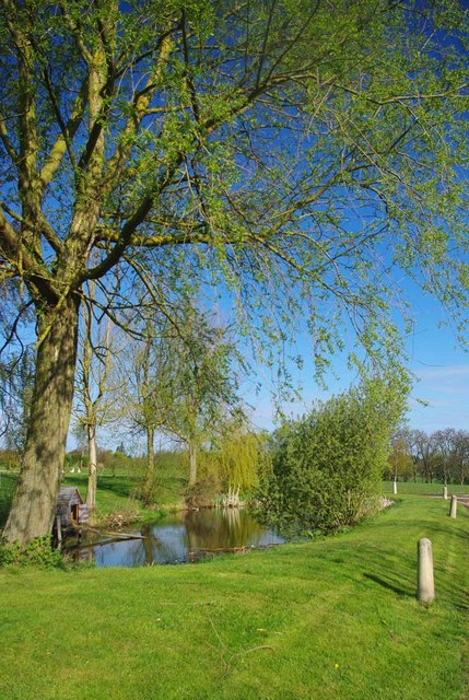
Mulberry Green Images

Images are sourced within 2km of 51.86068/0.79185173 or Grid Reference TL9221. Thanks to Geograph Open Source API. All images are credited.

Beside a patch of woodland on Easthorpe Road Part of Cantfield's Farm farmhouse can be seen ahead.
Beside a patch of woodland on Easthorpe Road
Part of Cantfield's Farm farmhouse can be seen ahead.
Easthorpe Road, Eastthorpe
Harvested field, former RAF Birch Viewed from Blind Lane, which uses the course of runway 02/20. Birch church is just showing just left of centre.
Harvested field, former RAF Birch
Viewed from Blind Lane, which uses the course of runway 02/20. Birch church is just showing just left of centre.
Private road to Birch Airfield Compost Site This uses the course of runway 08/26. It is accessed through a barrier (just behind the camera) from Blind Lane, which uses the course of runway 02/20.
Private road to Birch Airfield Compost Site
This uses the course of runway 08/26. It is accessed through a barrier (just behind the camera) from Blind Lane, which uses the course of runway 02/20.
View up disused wartime runway Looking along the disused wartime runway adjacent to Blind Lane
View up disused wartime runway
Looking along the disused wartime runway adjacent to Blind Lane
A Copford Green Pond & Cart Lodge I strongly suspect that the pond was used for washing down the carts that were once stored in the 17 Century cart lodge.
A Copford Green Pond & Cart Lodge
I strongly suspect that the pond was used for washing down the carts that were once stored in the 17 Century cart lodge.
Copford Green A quiet Sunday morning in Copford Green
Copford Green
A quiet Sunday morning in Copford Green
School Rd Copford Green A pair of cyclists pass the Junction of School Rd and Church Rd Copford Green.
School Rd Copford Green
A pair of cyclists pass the Junction of School Rd and Church Rd Copford Green.
St Michaels and Copford Hall Looking along an avenue of trees towards <a href="https://www.geograph.org.uk/photo/2911552">TL9322 : Copford Hall</a> and the church 
see <a href="https://www.geograph.org.uk/photo/2911561">TL9322 : No Parishioners Yet!</a>
St Michaels and Copford Hall
Looking along an avenue of trees towards TL9322 : Copford Hall and the church see TL9322 : No Parishioners Yet!
Copford Hall Copford Hall was built around 1760  for more info see <span class="nowrap"><a title="http://www.britishlistedbuildings.co.uk/en-416466-copford-hall-copford" rel="nofollow ugc noopener" href="http://www.britishlistedbuildings.co.uk/en-416466-copford-hall-copford">Link</a><img style="margin-left:2px;" alt="External link" title="External link - shift click to open in new window" src="https://s1.geograph.org.uk/img/external.png" width="10" height="10"/></span>
Copford Hall
Copford Hall was built around 1760 for more info see LinkExternal link
No Parishioners Yet! No sign of any congregation arriving at St Michael & All Saints this early on a sunny Sunday morning.
No Parishioners Yet!
No sign of any congregation arriving at St Michael & All Saints this early on a sunny Sunday morning.
Copford Cricket Club Copford Cricket Club have played here since 1972. The Oak tree on the left is on the playing area. Read more at <span class="nowrap"><a title="http://www.copfordcc.org.uk/contactus.html" rel="nofollow ugc noopener" href="http://www.copfordcc.org.uk/contactus.html">Link</a><img style="margin-left:2px;" alt="External link" title="External link - shift click to open in new window" src="https://s1.geograph.org.uk/img/external.png" width="10" height="10"/></span>
Copford Cricket Club
Copford Cricket Club have played here since 1972. The Oak tree on the left is on the playing area. Read more at LinkExternal link
Copford Cricket Pitch Seats just waiting a few more days for the start of the season. Copford Cricket Club have played here since 1972 read more at <span class="nowrap"><a title="http://www.copfordcc.org.uk/contactus.html" rel="nofollow ugc noopener" href="http://www.copfordcc.org.uk/contactus.html">Link</a><img style="margin-left:2px;" alt="External link" title="External link - shift click to open in new window" src="https://s1.geograph.org.uk/img/external.png" width="10" height="10"/></span>
Copford Cricket Pitch
Seats just waiting a few more days for the start of the season. Copford Cricket Club have played here since 1972 read more at LinkExternal link
Footpath to Aldercar Road This is the footpath from Upper Hill Farm to Aldercar Rd
Footpath to Aldercar Road
This is the footpath from Upper Hill Farm to Aldercar Rd
Guard Geese & Upper Hill Farm Geese have been used as "guard dogs" since at least Roman times. 
The lane is the <a href="https://www.geograph.org.uk/photo/2911582">TL9322 : Footpath to Aldercar Road</a>
Guard Geese & Upper Hill Farm
Geese have been used as "guard dogs" since at least Roman times. The lane is the TL9322 : Footpath to Aldercar Road
Upper Hill Farm Pond A small pond beside a footpath.
Upper Hill Farm Pond
A small pond beside a footpath.
Footpath to Fountain Lane The farm drive to Upper Hill Farm is a footpath that come out on Fountain Lane.
Footpath to Fountain Lane
The farm drive to Upper Hill Farm is a footpath that come out on Fountain Lane.
Footpath to Upper Hill farm Clear proof that Geographers think alike! I must have stood on Robert's wheel tracks however. I clearly got the better weather! see <a href="https://www.geograph.org.uk/photo/706823">TL9422 : The road to Upper Hill Farm</a>
Footpath to Upper Hill farm
Clear proof that Geographers think alike! I must have stood on Robert's wheel tracks however. I clearly got the better weather! see TL9422 : The road to Upper Hill Farm
Show me another place!

Mulberry Green is located at Grid Ref: TL9221 (Lat: 51.86068, Lng: 0.79185173)

Administrative County: Essex

District: Colchester

Police Authority: Essex

What 3 Words

///steepest.hydrant.rooftop. Near Marks Tey, Essex

Related Wikis

Copford Green

Copford Green is a hamlet within the civil parish of Copford and the district of Colchester in Essex, England. It is near the A12 and A120 roads, and is...

Hardy's Green

Hardy's Green is a hamlet in civil parish of Birch in the Colchester district, in the county of Essex, England. Nearby settlements include the large town...

Copford Hall

Copford Hall is a manorial seat and Grade II listed country house, with gardens by Capability Brown, in the village of Copford, Essex, England, 46 miles...

Easthorpe, Essex

Easthorpe is a small village and former civil parish, now in the parish of Copford, in the Colchester district, in the county of Essex, England. Easthorpe...

Nearby Amenities

Located within 500m of 51.86068,0.79185173
Waste Disposal
Lat/Long: 51.8593906/0.7858412
Drinking Water
Lat/Long: 51.8594138/0.7858372
Shower
Lat/Long: 51.8594437/0.7858331
Toilets
Lat/Long: 51.8594685/0.7858278
Generator Method: photovoltaic
Generator Output Electricity: yes
Generator Source: solar
Generator Type: solar_photovoltaic_panel
Location: roof
Power: generator
Lat/Long: 51.8613685/0.7915092
Generator Method: photovoltaic
Generator Output Electricity: yes
Generator Source: solar
Generator Type: solar_photovoltaic_panel
Location: roof
Power: generator
Lat/Long: 51.8608675/0.7911229
Generator Method: photovoltaic
Generator Output Electricity: yes
Generator Source: solar
Generator Type: solar_photovoltaic_panel
Location: roof
Power: generator
Lat/Long: 51.8609536/0.7915145
Generator Method: photovoltaic
Generator Output Electricity: yes
Generator Source: solar
Generator Type: solar_photovoltaic_panel
Location: roof
Power: generator
Lat/Long: 51.8609536/0.7915628
Generator Method: photovoltaic
Generator Output Electricity: yes
Generator Source: solar
Generator Type: solar_photovoltaic_panel
Location: roof
Power: generator
Lat/Long: 51.8603714/0.7902271
Generator Method: photovoltaic
Generator Output Electricity: yes
Generator Source: solar
Generator Type: solar_photovoltaic_panel
Location: roof
Power: generator
Lat/Long: 51.8603747/0.7902579
Generator Method: photovoltaic
Generator Output Electricity: yes
Generator Source: solar
Generator Type: solar_photovoltaic_panel
Location: roof
Power: generator
Lat/Long: 51.8600724/0.7875837
Generator Method: photovoltaic
Generator Output Electricity: yes
Generator Source: solar
Generator Type: solar_photovoltaic_panel
Location: roof
Power: generator
Lat/Long: 51.8600608/0.7871304
The data included in this document is from www.openstreetmap.org. The data is made available under ODbL.

Have you been to Mulberry Green?

Leave your review of Mulberry Green below (or comments, questions and feedback).