Mount Pleasant

Settlement in Bedfordshire

England

Mount Pleasant

Woods by Box End Road, Kempston
Woods by Box End Road, Kempston Credit: David Howard

Mount Pleasant is a small village located in the county of Bedfordshire, England. Situated about 5 miles south of Bedford, this rural settlement is nestled amidst picturesque countryside and offers a peaceful and idyllic setting for its residents.

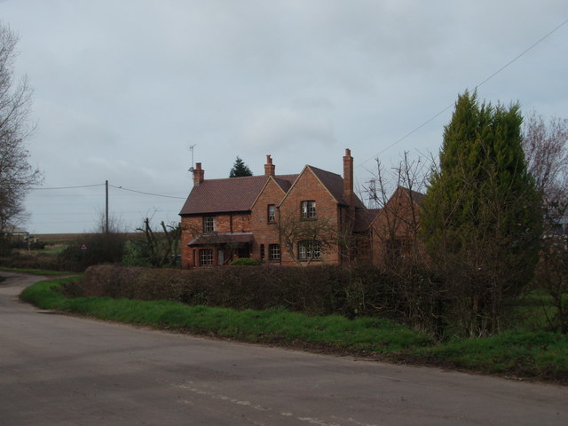
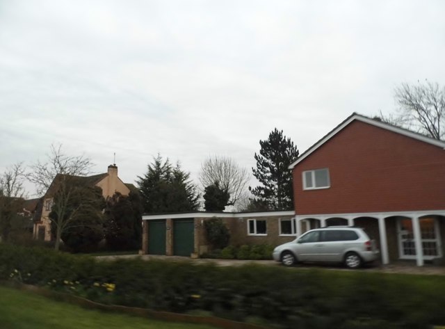
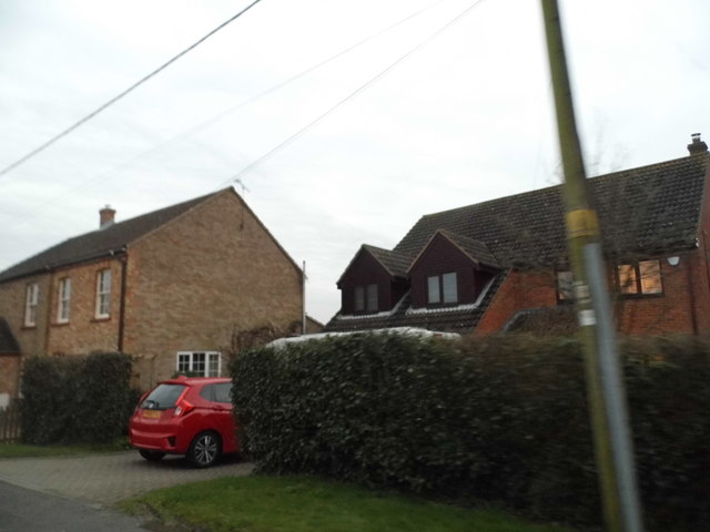
The village is characterized by its traditional English charm, with a scattering of quaint cottages and well-maintained gardens. The community in Mount Pleasant is tight-knit, with a population of around 500 residents. The village is primarily residential, with a few local businesses and amenities serving the needs of the community.

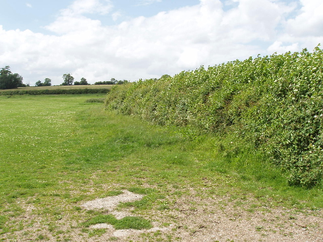
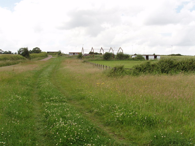
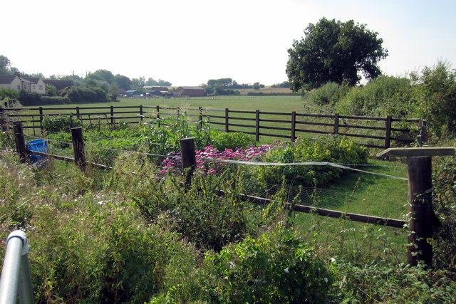
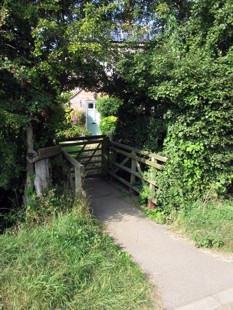
Surrounded by rolling hills and lush green fields, Mount Pleasant offers ample opportunities for outdoor activities and exploration. The village is dotted with walking trails, making it an ideal destination for hikers and nature enthusiasts. The nearby countryside provides breathtaking views and a chance to experience the tranquility of rural life.

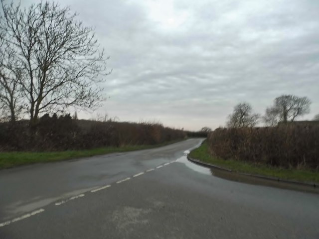
Despite its rural location, Mount Pleasant benefits from good transport links. The A6 road passes through the village, connecting it to nearby towns and cities, including Bedford and Luton. Additionally, there are regular bus services that provide convenient access to the surrounding areas.

For amenities and services, residents can rely on the nearby towns and villages. Bedford, just a short drive away, offers a wide range of shopping centers, restaurants, and leisure facilities. The village also benefits from its proximity to the picturesque Bedfordshire countryside, with various attractions and landmarks in the surrounding area.

In summary, Mount Pleasant is a charming rural village in Bedfordshire, offering a peaceful and picturesque setting for its residents. With its tight-knit community and access to beautiful countryside, it provides a perfect balance between the tranquility of rural living and the conveniences of nearby towns.

If you have any feedback on the listing, please let us know in the comments section below.

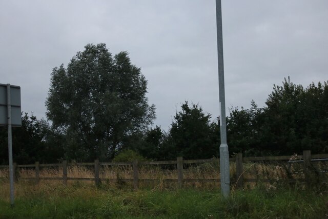
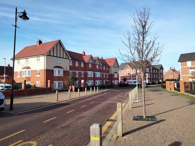
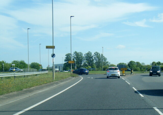
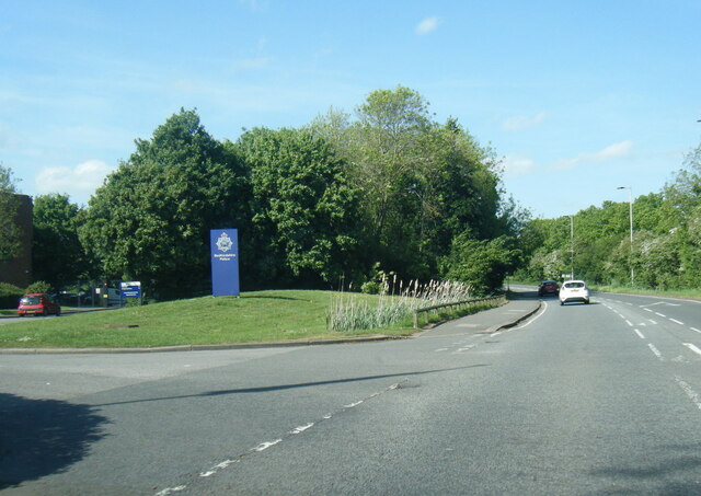
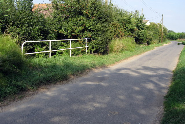
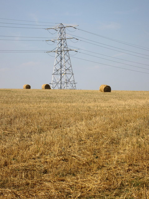
Mount Pleasant Images

Images are sourced within 2km of 52.101051/-0.52639456 or Grid Reference TL0145. Thanks to Geograph Open Source API. All images are credited.

Woods by Box End Road, Kempston
Lidl Supermarket, Kempston View from Martell Drive.
Lidl Supermarket, Kempston
View from Martell Drive.
Martell Drive, Kempston View looking down Martell Drive from Lidl Supermarket.
Martell Drive, Kempston
View looking down Martell Drive from Lidl Supermarket.
A6 The Branston Way at Ridge Road roundabout
Woburn Road at Bedfordshire Police HQ
Warehouse by the A421
Amazon Warehouse by the A421
The Road to Bourne End A house along the road to Wootton Bourne End, near Wootton.
The Road to Bourne End
A house along the road to Wootton Bourne End, near Wootton.
Pasture and hedge, Hall End of Wootton A footpath runs up beside the hedge.
Pasture and hedge, Hall End of Wootton
A footpath runs up beside the hedge.
John Bunyan Trail at Hall End, Wootton The John Bunyan Trail is a 75 mile circular path through places associated with John Bunyan.
John Bunyan Trail at Hall End, Wootton
The John Bunyan Trail is a 75 mile circular path through places associated with John Bunyan.
Bourne End Road at the junction of Keeley Lane
Sunset over Keeley Lane, Wood End
Houses on Wood End Road For reasons unknown this whole road and a few nearby were not covered by Streetview.
Houses on Wood End Road
For reasons unknown this whole road and a few nearby were not covered by Streetview.
Houses on Wood End Road
A fenced garden at the end of Keeley Lane
Wood End cottage
Wood End cottage
Stream crosses under Wood End Road
Pylon and straw by Whitworth's Farm
Show me another place!

Mount Pleasant is located at Grid Ref: TL0145 (Lat: 52.101051, Lng: -0.52639456)

Unitary Authority: Bedford

Police Authority: Bedfordshire

What 3 Words

///parkland.exact.character. Near Wootton, Bedfordshire

Related Wikis

Keeley Green

Keeley Green is a hamlet located in the Borough of Bedford in Bedfordshire, England. The settlement is situated directly to the north of the larger village...

Wootton, Bedfordshire

Wootton is a large village and civil parish located to the southwest of Bedford, in the north of Bedfordshire, England. The parish also includes the hamlets...

Church of St Mary the Virgin, Wootton, Bedfordshire

Church of St Mary the Virgin is a Grade I listed church in Wootton, Bedfordshire, England. It became a listed building on July 13, 1964.The church is...

Wootton House

Wootton House is a late 17th-century country house in Wootton, Bedfordshire, England. It is a Grade II* listed building.The house is built to a rectangular...

Nearby Amenities

Located within 500m of 52.101051,-0.52639456
Mini Roundabout
Direction: clockwise
Lat/Long: 52.097347/-0.5275365
Pub
The Legstraps
Addr City: Wootton
Addr Country: GB
Addr Housenumber: 20
Addr Postcode: MK43 9HR
Addr Street: Keeley Lane
Fhrs Authority: Bedford
Fhrs Id: 406694
Fhrs Local Authority Id: 113174
Food: yes
Old Name: Rose and Crown
Lat/Long: 52.1037249/-0.529686
Barrier: bollard
Lat/Long: 52.1007865/-0.5215801
Bott End
Place: locality
Source: OS 1:25k
Lat/Long: 52.0995025/-0.5262199
Tag's End
Place: locality
Source: OS 1:25k
Lat/Long: 52.0974802/-0.5259168
Keeley Green
Place: locality
Source: OS 1:25k
Wikidata: Q1520730
Lat/Long: 52.1044887/-0.5262385
Mount Pleasant
Place: locality
Source: OS_OpenData_StreetView
Lat/Long: 52.1022416/-0.5246365
Post Box
Brand: Royal Mail
Brand Wikidata: Q638098
Check Date: 2021-04-30
Operator: Royal Mail
Operator Wikidata: Q638098
Post Box Design: type_m
Post Box Type: lamp
Ref: MK43 330
Source: Bing
Lat/Long: 52.0970733/-0.5275145
Costcutter
Addr City: Wootton
Addr Country: GB
Addr Housenumber: 46-48
Addr Postcode: MK43 9JT
Addr Street: Bedford Road
Brand: Costcutter
Brand Wikidata: Q5175072
Brand Wikipedia: en:Costcutter
Fhrs Authority: Bedford
Fhrs Id: 111828
Fhrs Local Authority Id: 41134
Shop: convenience
Source: Bing
Lat/Long: 52.0970525/-0.5274666
Leisure: playground
Lat/Long: 52.1022842/-0.5264488
Bus: yes
Public Transport: stop_position
Source: Bing
Lat/Long: 52.0981113/-0.5271028
Post Box
Check Date: 2021-04-30
Operator: Royal Mail
Ref: MK43 55
Source: Bing
Lat/Long: 52.1037455/-0.5292118
Fast Food
Pat's Plaice
Addr City: Wootton
Addr Country: GB
Addr Housenumber: 1a
Addr Postcode: MK43 9JT
Addr Street: Yew Tree Court
Fhrs Authority: Bedford
Fhrs Id: 111827
Fhrs Local Authority Id: 41132
Source: Bing
Lat/Long: 52.0969998/-0.5270516
Bus Stop
Potters Cross
Bench: yes
Bin: yes
Bus: yes
Check Date Shelter: 2021-04-19
Naptan AtcoCode: 020036060
Naptan Bearing: NE
Naptan CommonName: Potters Cross
Naptan Indicator: opp
Naptan Landmark: No 49 Bedford Road
Naptan NaptanCode: bfsapgaj
Naptan Street: Bedford Road
Public Transport: platform
Shelter: yes
Source: naptan_import
Tactile Paving: yes
Lat/Long: 52.0981486/-0.5272063
Bus Stop
Potters Cross
Bench: yes
Bin: no
Bus: yes
Check Date Shelter: 2021-04-19
Naptan AtcoCode: 020036061
Naptan Bearing: SW
Naptan CommonName: Potters Cross
Naptan Indicator: adj
Naptan Landmark: Grovebury Court
Naptan NaptanCode: bfsapgam
Naptan Street: Bedford Road
Public Transport: platform
Shelter: yes
Source: naptan_import
Tactile Paving: yes
Lat/Long: 52.098073/-0.527027
Bus Stop
Keeley Corner
Bench: yes
Bin: yes
Bus: yes
Check Date Shelter: 2021-04-19
Naptan AtcoCode: 020036064
Naptan Bearing: NE
Naptan CommonName: Keeley Corner
Naptan Indicator: N-bound
Naptan Landmark: Keeley Lane
Naptan NaptanCode: bfsapgaw
Naptan Street: Bedford Road
Public Transport: platform
Shelter: yes
Source: naptan_import;survey;Bing
Tactile Paving: yes
Lat/Long: 52.104202/-0.5284412
Bus Stop
Keeley Corner
Bench: no
Bin: no
Bus: yes
Check Date Shelter: 2021-04-19
Naptan AtcoCode: 020036065
Naptan Bearing: SW
Naptan CommonName: Keeley Corner
Naptan Indicator: S-bound
Naptan Landmark: Keeley Lane
Naptan NaptanCode: bfsapgda
Naptan Street: Bedford Road
Public Transport: platform
Shelter: no
Source: naptan_import;survey;Bing
Tactile Paving: yes
Lat/Long: 52.1043774/-0.528085
Material: wood
Power: pole
Lat/Long: 52.1023845/-0.5257241
Power: pole
Lat/Long: 52.1029337/-0.523383
Power: pole
Lat/Long: 52.1023015/-0.5219362
Power: pole
Lat/Long: 52.1018446/-0.5211778
Power: pole
Lat/Long: 52.101249/-0.5200188
Power: pole
Lat/Long: 52.100862/-0.5191642
Power: substation
Source: Bing
Lat/Long: 52.1024073/-0.5257644
Barrier: kissing_gate
Lat/Long: 52.1014216/-0.5203152
Bench
Lat/Long: 52.1029475/-0.5231722
Power: pole
Lat/Long: 52.1026834/-0.524507
Power: pole
Lat/Long: 52.1035406/-0.5223358
Power: pole
Lat/Long: 52.1040217/-0.5215419
Tourism: picnic_site
Lat/Long: 52.1028077/-0.5198779
Kindergarten
Bizzy Bees Pre school
Addr City: Wootton
Addr Country: GB
Addr Housename: Wootton Village Memorial Hall
Addr Postcode: MK43 9JB
Addr Street: Bedford Road
Fhrs Authority: Bedford
Fhrs Id: 621153
Fhrs Local Authority Id: 114149
Lat/Long: 52.1021064/-0.526244
Fast Food
Wootton Blue Cross Football & Social Club
Addr City: Wootton
Addr Country: GB
Addr Postcode: MK43 9JT
Addr Street: Bedford Road
Fhrs Authority: Bedford
Fhrs Id: 111819
Fhrs Local Authority Id: 41119
Lat/Long: 52.0970119/-0.5267859
Addr Country: GB
Addr Housenumber: 49
Addr Street: Bedford Road
Lat/Long: 52.0982312/-0.5272847
The data included in this document is from www.openstreetmap.org. The data is made available under ODbL.

Have you been to Mount Pleasant?

Leave your review of Mount Pleasant below (or comments, questions and feedback).