Van Diemen's Land
Wood, Forest in Bedfordshire
England
Van Diemen's Land
Van Diemen's Land, Bedfordshire (Wood, Forest) is a historical site located in the county of Bedfordshire, England. Situated within the Chiltern Hills, this area is known for its scenic landscapes and rich history.
Formerly known as Van Diemen's Land, the name was given by the Dutch explorer Abel Tasman in the 17th century, inspired by the Dutch governor of the Dutch East Indies, Anthony van Diemen. However, over time, the name has been phased out and the area is now commonly referred to as Bedfordshire Wood or Bedfordshire Forest due to its dense woodland and forested areas.
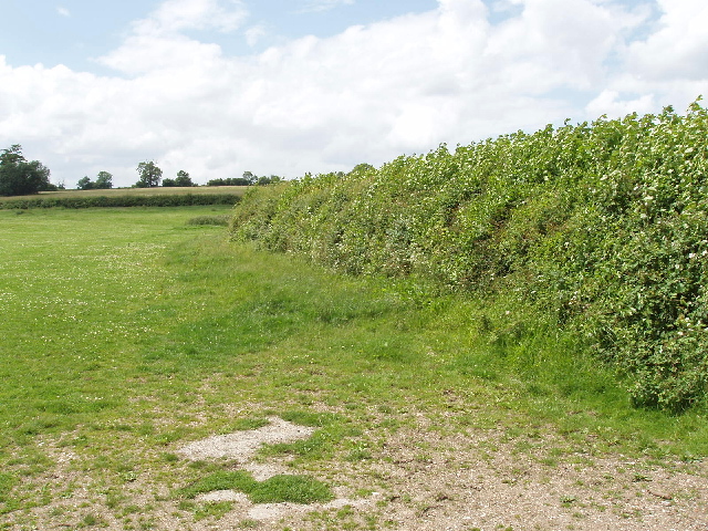
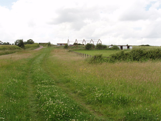
Covering an extensive area of approximately 500 square kilometers, Van Diemen's Land, Bedfordshire (Wood, Forest) is a popular destination for nature enthusiasts and history buffs alike. The woodlands are home to a diverse range of flora and fauna, including ancient trees, wildflowers, and various bird species.
Within the forest, there are several walking trails and footpaths that allow visitors to explore the area's natural beauty. Additionally, the site is rich in historical significance, with traces of ancient settlements and remains of prehistoric times, adding an archaeological interest to the region.
Van Diemen's Land, Bedfordshire (Wood, Forest) offers a peaceful and tranquil escape from the hustle and bustle of modern life. Whether one is seeking a relaxing walk in nature or an exploration of the area's history, this destination provides a unique and memorable experience for all who visit.
If you have any feedback on the listing, please let us know in the comments section below.
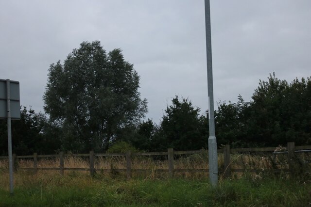
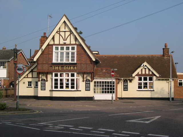
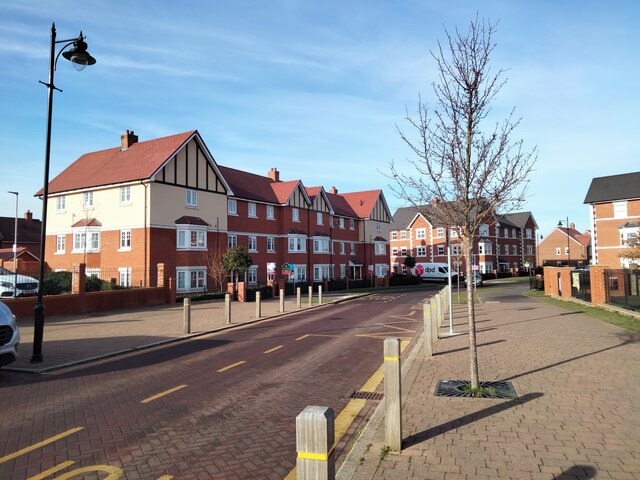
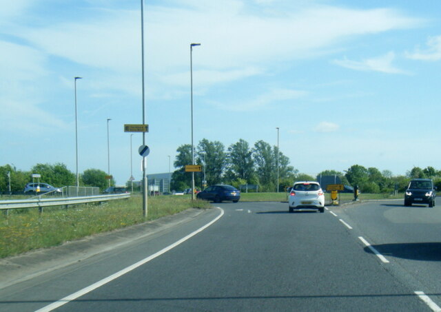
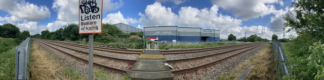
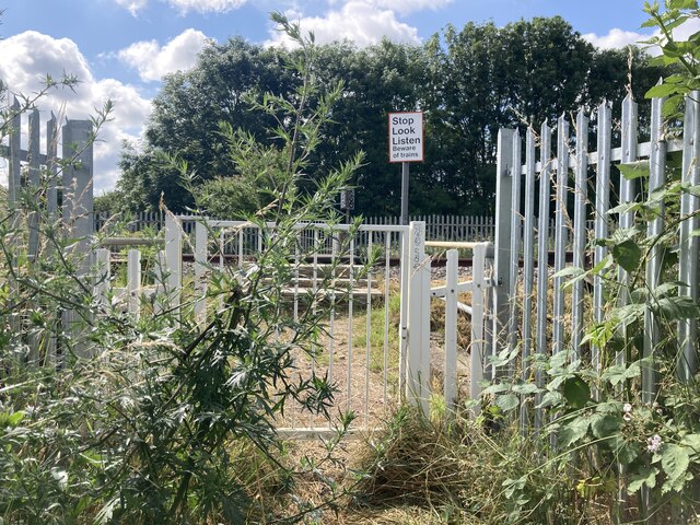
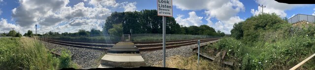
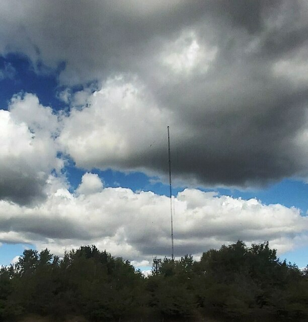
Van Diemen's Land Images
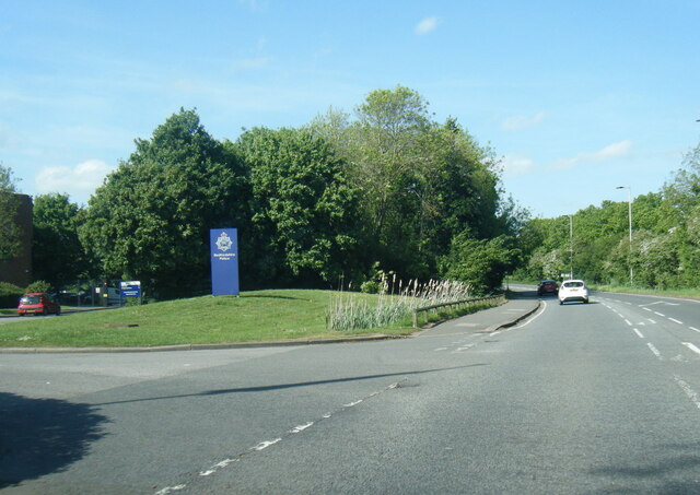
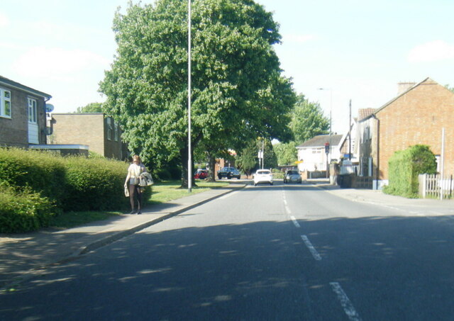
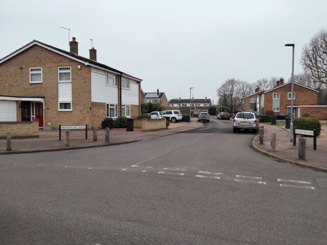
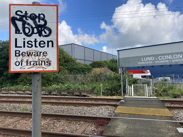
Images are sourced within 2km of 52.099861/-0.51403852 or Grid Reference TL0145. Thanks to Geograph Open Source API. All images are credited.


Van Diemen's Land is located at Grid Ref: TL0145 (Lat: 52.099861, Lng: -0.51403852)
Unitary Authority: Bedford
Police Authority: Bedfordshire
What 3 Words
///houseboat.heat.fancy. Near Wootton, Bedfordshire
Nearby Locations
Related Wikis

Ridgeway School, Kempston
Ridgeway School is a mixed special school for pupils with physical disabilities located in Kempston, Bedfordshire, England. The school accepts pupils from...
Keeley Green
Keeley Green is a hamlet located in the Borough of Bedford in Bedfordshire, England. The settlement is situated directly to the north of the larger village...

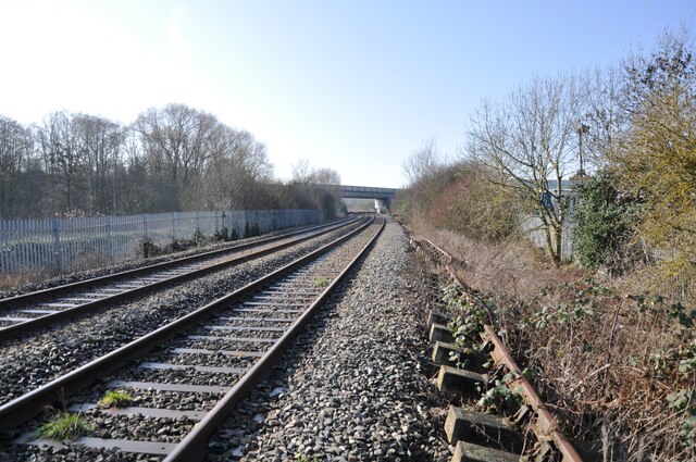
Kempston Hardwick railway station
Kempston Hardwick railway station serves the village of Kempston Hardwick in Bedfordshire, England. It should not be confused with the nearby town of Kempston...
Kempston West
Kempston West is an electoral ward and area within the town of Kempston, Bedfordshire, England. The boundaries of Kempston West are approximately the River...
Nearby Amenities
Located within 500m of 52.099861,-0.51403852Have you been to Van Diemen's Land?
Leave your review of Van Diemen's Land below (or comments, questions and feedback).