Homeless Wood
Wood, Forest in Bedfordshire
England
Homeless Wood

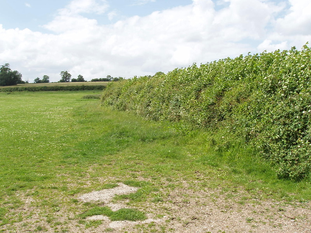
Homeless Wood is a small forest located in Bedfordshire, England. With an area of about 10 acres, it is not particularly large but is nonetheless significant for its ecological and historical value. The forest is predominantly composed of deciduous trees, including oak, birch, and beech, creating a rich and diverse habitat for various flora and fauna.
The name "Homeless Wood" is derived from a local legend that suggests the forest was once a refuge for those without a home during medieval times. However, there is little historical evidence to support this claim. Nevertheless, the forest has a long-standing presence in the community and has become a popular spot for nature lovers and walkers.
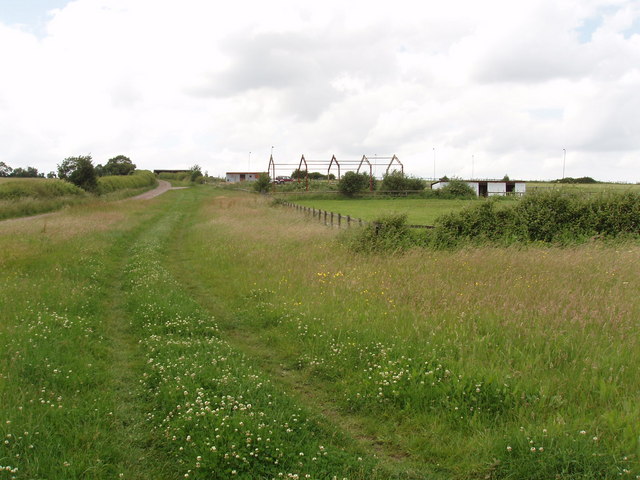
The forest offers a peaceful and serene environment, away from the hustle and bustle of urban life. Walking trails meander through the wood, allowing visitors to explore its beauty and observe the wildlife that calls it home. Birdwatchers can often spot species such as woodpeckers, thrushes, and owls, while small mammals like squirrels and rabbits can also be seen.
The forest is managed by the local council, who ensure its preservation and protection. They have implemented measures to maintain the natural integrity of the wood, such as controlling invasive species and promoting sustainable practices. The council also organizes educational programs and guided walks to raise awareness about the importance of conservation.
Overall, Homeless Wood is a charming forest that provides a tranquil escape for visitors and serves as a valuable habitat for the local ecosystem.
If you have any feedback on the listing, please let us know in the comments section below.
Homeless Wood Images
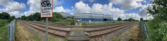
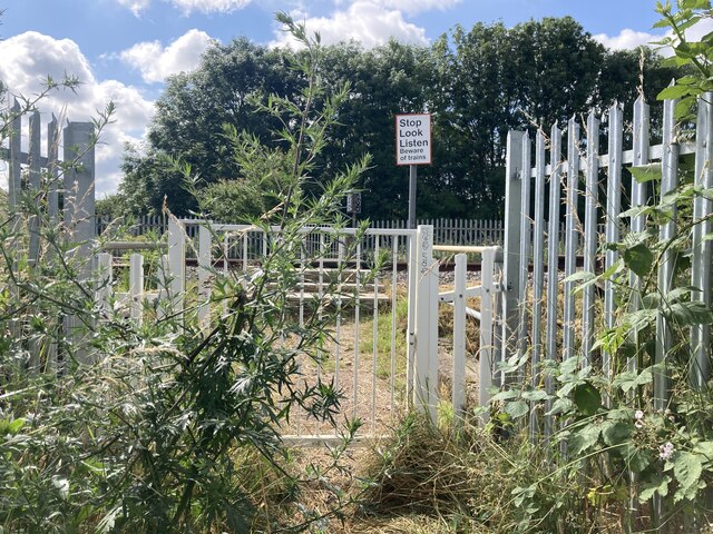
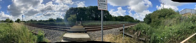
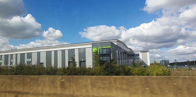
Images are sourced within 2km of 52.097122/-0.51502006 or Grid Reference TL0145. Thanks to Geograph Open Source API. All images are credited.


Homeless Wood is located at Grid Ref: TL0145 (Lat: 52.097122, Lng: -0.51502006)
Unitary Authority: Bedford
Police Authority: Bedfordshire
What 3 Words
///pram.geese.mainframe. Near Wootton, Bedfordshire
Nearby Locations
Related Wikis

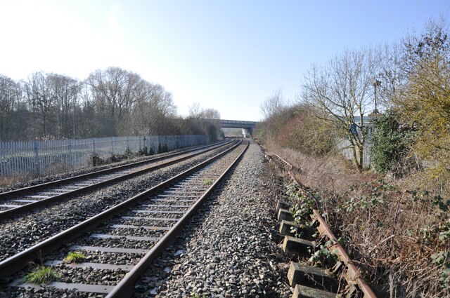
Kempston Hardwick railway station
Kempston Hardwick railway station serves the village of Kempston Hardwick in Bedfordshire, England. It should not be confused with the nearby town of Kempston...

Wootton, Bedfordshire
Wootton is a large village and civil parish located to the southwest of Bedford, in the north of Bedfordshire, England. The parish also includes the hamlets...

Keeley Green
Keeley Green is a hamlet located in the Borough of Bedford in Bedfordshire, England. The settlement is situated directly to the north of the larger village...
Ridgeway School, Kempston
Ridgeway School is a mixed special school for pupils with physical disabilities located in Kempston, Bedfordshire, England. The school accepts pupils from...
Nearby Amenities
Located within 500m of 52.097122,-0.51502006Have you been to Homeless Wood?
Leave your review of Homeless Wood below (or comments, questions and feedback).