Moorthwaite

Settlement in Cumberland Carlisle

England

Moorthwaite

Class 158 (158 787) approaching Wallace Field Bridge on Carlisle to Leeds service
Class 158 (158 787) approaching Wallace Field Bridge on Carlisle to Leeds service Credit: Roger Templeman

The requested URL returned error: 429 Too Many Requests

If you have any feedback on the listing, please let us know in the comments section below.
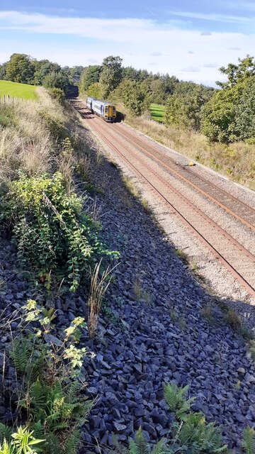
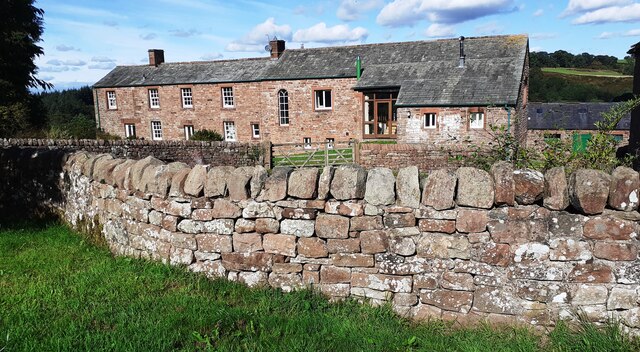
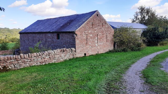
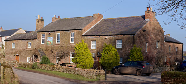
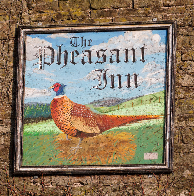
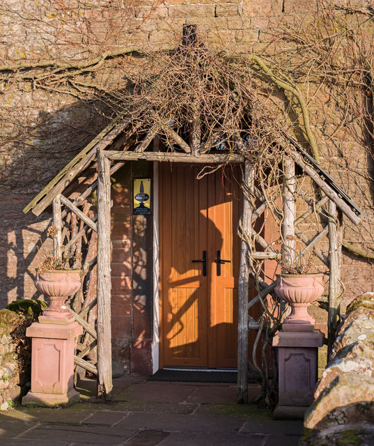
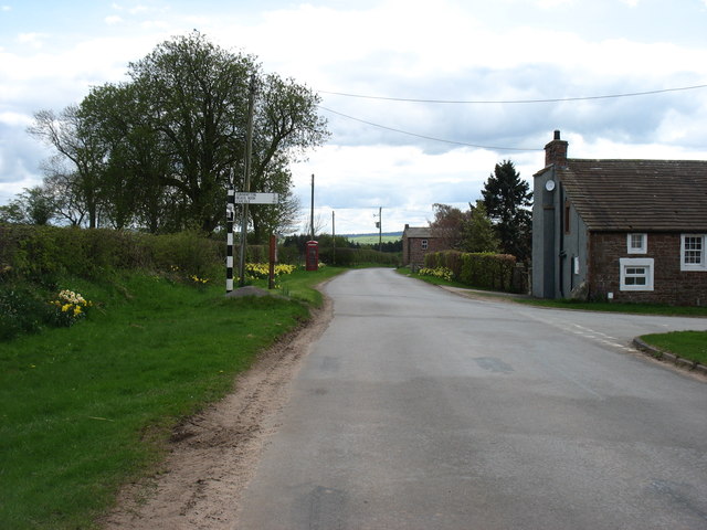
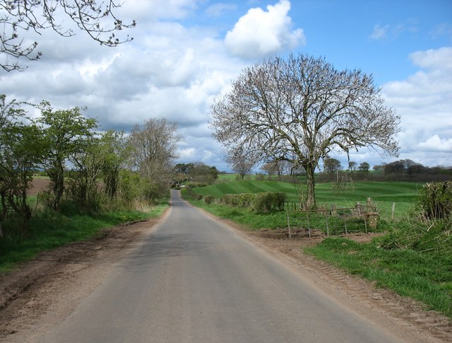
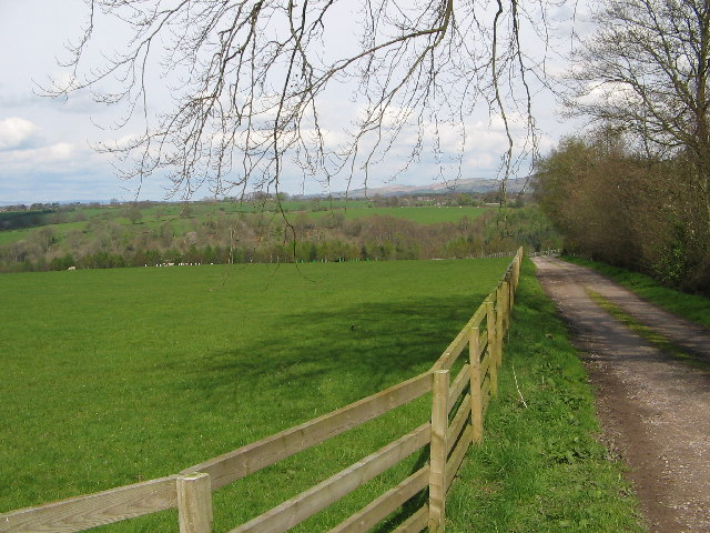
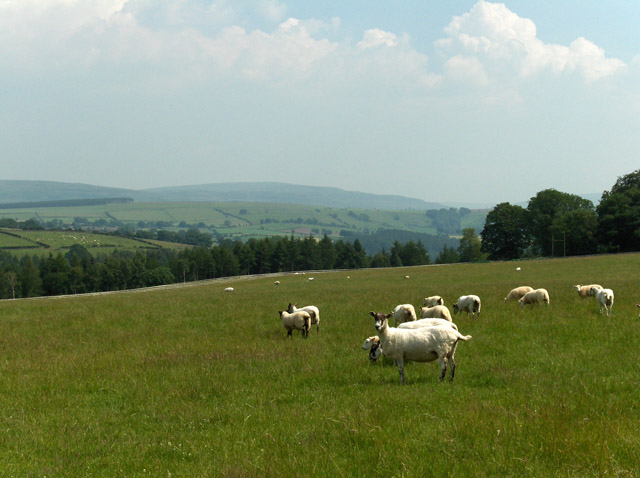
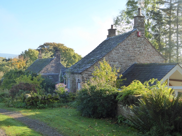
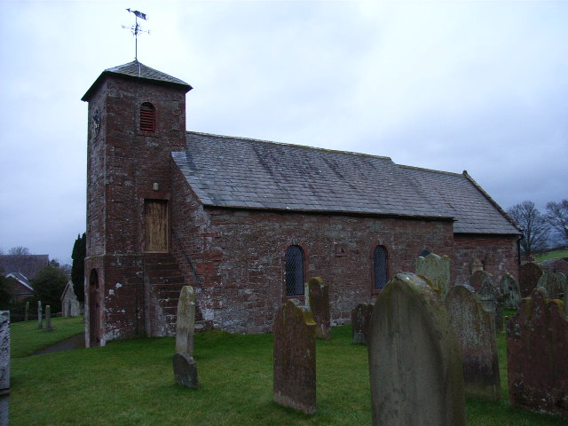
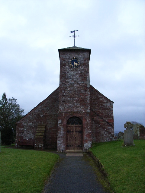
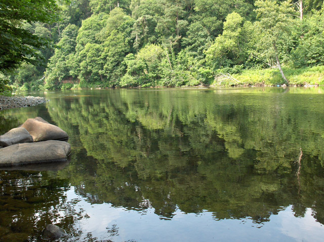
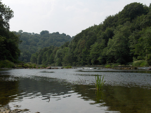
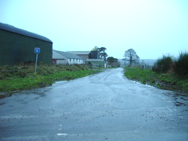
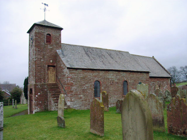
Moorthwaite Images

Images are sourced within 2km of 54.849276/-2.7662434 or Grid Reference NY5050. Thanks to Geograph Open Source API. All images are credited.

Class 158 (158 787) approaching Wallace Field Bridge on Carlisle to Leeds service
Farmhouse at Wallace Field
Barns at Wallace Field
The Pheasant Inn, Cumwhitton - January 2017 (1) 17th Century Inn in the village of Cumwhitton, formerly the Red Lion and State owned from 25 August 1916 until 1973. The Inn web site can be found <span class="nowrap"><a title="http://www.pheasantinncumwhitton.co.uk/" rel="nofollow ugc noopener" href="http://www.pheasantinncumwhitton.co.uk/">Link</a><img style="margin-left:2px;" alt="External link" title="External link - shift click to open in new window" src="https://s1.geograph.org.uk/img/external.png" width="10" height="10"/></span> and all queries should be directed through this site.

See also: <a href="https://www.geograph.org.uk/photo/5264610">NY5052 : The Pheasant Inn, Cumwhitton - January 2017 (2)</a> and <a href="https://www.geograph.org.uk/photo/5264612">NY5052 : The Pheasant Inn, Cumwhitton - January 2017 (3)</a> .
The Pheasant Inn, Cumwhitton - January 2017 (1)
17th Century Inn in the village of Cumwhitton, formerly the Red Lion and State owned from 25 August 1916 until 1973. The Inn web site can be found LinkExternal link and all queries should be directed through this site. See also: NY5052 : The Pheasant Inn, Cumwhitton - January 2017 (2) and NY5052 : The Pheasant Inn, Cumwhitton - January 2017 (3) .
The Pheasant Inn, Cumwhitton - January 2017 (2) The Inn sign - for information on the Inn, see: <a href="https://www.geograph.org.uk/photo/5264609">NY5052 : The Pheasant Inn, Cumwhitton - January 2017 (1)</a> .
The Pheasant Inn, Cumwhitton - January 2017 (2)
The Inn sign - for information on the Inn, see: NY5052 : The Pheasant Inn, Cumwhitton - January 2017 (1) .
The Pheasant Inn, Cumwhitton - January 2017 (3) The entrance to the Inn.

For information on this building, see: <a href="https://www.geograph.org.uk/photo/5264609">NY5052 : The Pheasant Inn, Cumwhitton - January 2017 (1)</a> .
The Pheasant Inn, Cumwhitton - January 2017 (3)
The entrance to the Inn. For information on this building, see: NY5052 : The Pheasant Inn, Cumwhitton - January 2017 (1) .
Road junction at Hornsby Gate The road ahead goes to Armathwaite, and that to the right to Carlisle (by a rather convoluted route). This is a T-junction, not a cross-roads.
Road junction at Hornsby Gate
The road ahead goes to Armathwaite, and that to the right to Carlisle (by a rather convoluted route). This is a T-junction, not a cross-roads.
The road to Castle Carrock
Eden Brows Woodland
Eden Brows Woodland
Sheep, Eden Brows Woods descend to the River Eden. The Pennines rise beyond.
Sheep, Eden Brows
Woods descend to the River Eden. The Pennines rise beyond.
Low House Farm The floor of the Eden valley beyond.
Low House Farm
The floor of the Eden valley beyond.
Cottages at Froddle Crook
St Mary's, Cumwhitton
St Mary's, Cumwhitton The west end of the church.
St Mary's, Cumwhitton
The west end of the church.
River Eden South of Hawkcliff Scar, where the river turns west.
River Eden
South of Hawkcliff Scar, where the river turns west.
River Eden Below Wallace Field.
River Eden
Below Wallace Field.
Nunfield Cottage Small roadside cottage, pity it has an inappropriate looking extension
Nunfield Cottage
Small roadside cottage, pity it has an inappropriate looking extension
The Road to Moorthwaite
Show me another place!

Moorthwaite is located at Grid Ref: NY5050 (Lat: 54.849276, Lng: -2.7662434)

Administrative County: Cumbria

District: Carlisle

Police Authority: Cumbria

What 3 Words

///curtail.negotiators.curious. Near Wetheral, Cumbria

Nearby Locations

Moorthwaite

Related Wikis

Cumwhitton

Cumwhitton is a small village and civil parish close to Carlisle in Cumbria, England. It lies just east of the M6 and the nearest train station is located...

Cotehill railway station

Cotehill railway station was a railway station on the Settle-Carlisle Railway in England between Armathwaite and Cumwhinton. The line opened for passengers...

Low House, Wetheral

Low House is an 18th-century Georgian manor house located one and a half miles north of the village of Armathwaite in the Eden Valley of Cumbria, England...

Carlatton and Cumrew

Carlatton and Cumrew are civil parishes in Cumbria, England with a common parish council.The Eastern boundary of this rural parish is Cardunneth Pike in...

Nearby Amenities

Located within 500m of 54.849276,-2.7662434
Piperstile Old School House
Local Ref: AT
Naptan AtcoCode: 090033142952
Naptan Bearing: E
Naptan BusStopType: CUS
Naptan CommonName: Piperstile Old School House
Naptan Indicator: at
Naptan Landmark: The Old School House
Naptan NaptanCode: cumaptdg
Naptan Street: No name
Naptan Verified: no
Source: naptan_import
Lat/Long: 54.8500668/-2.7688968
Post Box
Ref: CA8 61
Lat/Long: 54.849214/-2.7662066
Whinney Hill
Place: locality
Lat/Long: 54.8502313/-2.7700534
Power: pole
Lat/Long: 54.8483761/-2.7684949
Power: pole
Lat/Long: 54.8485099/-2.7697632
Power: pole
Lat/Long: 54.8486632/-2.7710726
Power: pole
Lat/Long: 54.8488109/-2.7723359
Power: pole
Lat/Long: 54.8491718/-2.7737809
Power: pole
Lat/Long: 54.8488708/-2.7658859
Power: pole
Lat/Long: 54.8483873/-2.7647967
Power: pole
Lat/Long: 54.847926/-2.763756
Power: pole
Lat/Long: 54.8474606/-2.7626959
Power: pole
Lat/Long: 54.8469297/-2.7615027
Power: pole
Lat/Long: 54.846382/-2.7602587
The data included in this document is from www.openstreetmap.org. The data is made available under ODbL.

Have you been to Moorthwaite?

Leave your review of Moorthwaite below (or comments, questions and feedback).