Moortown
Settlement in Somerset South Somerset
England
Moortown

Moortown is a small village located in the county of Somerset, England. Situated in the beautiful countryside, it is part of the Mendip district and falls within the civil parish of Wincanton. With a population of around 300 residents, Moortown offers a peaceful and close-knit community atmosphere.
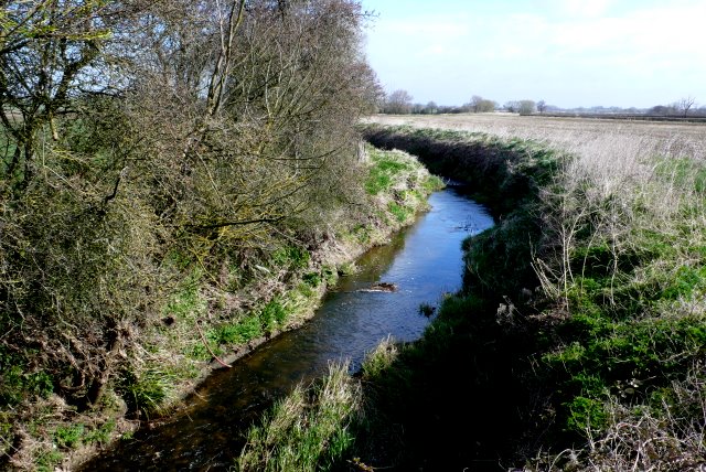
The village is surrounded by picturesque landscapes, encompassing rolling hills, meadows, and farmland, making it an ideal location for nature lovers and those seeking a tranquil environment. The nearby River Cale adds to the charm of the area, with its clear waters and scenic walks along its banks.
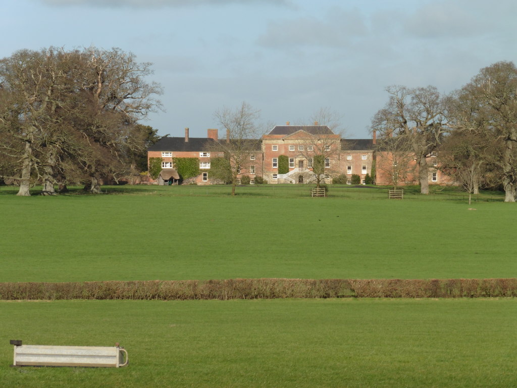
Moortown has a rich history dating back centuries, with evidence of Roman settlements and medieval buildings found in the vicinity. The village is home to a few historic landmarks, including a Grade II listed church, St. James Church, which dates back to the 13th century. The church stands as a testament to the village's religious heritage and architectural significance.
Although Moortown is a predominantly residential area, there are a few amenities available within the village, including a community hall and a local pub. For additional facilities and services, residents can easily access the nearby town of Wincanton, which is just a short distance away.
Overall, Moortown offers a serene and idyllic setting, perfect for those seeking a quieter pace of life amidst the natural beauty of Somerset's countryside.
If you have any feedback on the listing, please let us know in the comments section below.
Moortown Images
Images are sourced within 2km of 51.007908/-2.8894983 or Grid Reference ST3723. Thanks to Geograph Open Source API. All images are credited.


Moortown is located at Grid Ref: ST3723 (Lat: 51.007908, Lng: -2.8894983)
Administrative County: Somerset
District: South Somerset
Police Authority: Avon and Somerset
What 3 Words
///nipped.scream.formed. Near Curry Rivel, Somerset
Nearby Locations
Related Wikis

Swell Court Farmhouse, Fivehead
Swell Court Farmhouse in Swell Lane, Fivehead, Somerset, England dates from the 15th century and has been designated as a Grade I listed building.It is...

St Catherine's Church, Fivehead
The Church of St Catherine in Swell Lane, Fivehead, Somerset, England dates from the 12th century and has been designated as a Grade I listed building...

Burton Pynsent House
Burton Pynsent House is a historic country-house in the parish of Curry Rivel, Somerset, England. It is a Grade II* listed building. The house was built...
Fivehead River
Fivehead River (also known as the River Earn or Rag or Ragg River) flows through south Somerset, England. It is named after the village of Fivehead, near...

Burton Pynsent Monument
The 140 feet (43 m) Burton Pynsent Monument on Troy Hill at Burton Pynsent, within the parish of Curry Rivel, Somerset, England, was built in 1767 and...
Earnshill House
Earnshill House in Hambridge, near Curry Rivel, Somerset, England is a manor house, set in parkland. It was built in 1725 for Henry Combe, a Bristol merchant...

St Andrew's Church, Curry Rivel
The Church of St Andrew in Curry Rivel, Somerset, England dates from the 13th century and is designated as a Grade I listed building. It was included in...

Fivehead
Fivehead is a village and civil parish in Somerset, England, situated on the Fivehead River, 8 miles (12.9 km) east of Taunton in the South Somerset district...
Nearby Amenities
Located within 500m of 51.007908,-2.8894983Have you been to Moortown?
Leave your review of Moortown below (or comments, questions and feedback).