Moorside

Settlement in Durham

England

Moorside

Field with power lines Field south of Herrington Road, the B1286.
Field with power lines Credit: Robert Graham

Moorside is a small village located in County Durham, in the northeast of England. Situated about 6 miles northwest of Durham city center, Moorside is surrounded by beautiful countryside and offers a peaceful and rural atmosphere. The village is part of the Esh and Witton Gilbert ward and falls within the postal code area of DH7.

Moorside is home to a close-knit community, with a population of around 500 residents. The village is characterized by its quaint cottages and traditional architecture, reflecting its rich history. The origins of Moorside can be traced back to medieval times, and evidence of its past can still be seen in the form of historic buildings and landmarks scattered throughout the area.

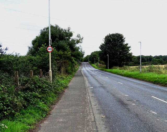
Despite its small size, Moorside offers a range of amenities to its residents. These include a local pub, a village hall, and a primary school, providing essential services and a sense of community. The village is also well-connected, with regular bus services linking it to nearby towns and cities.

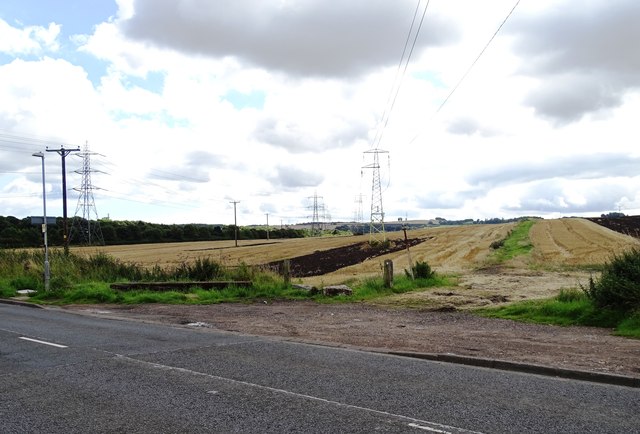
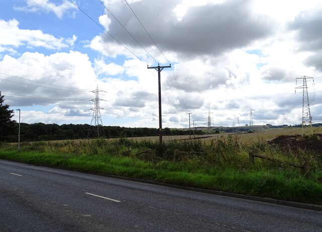
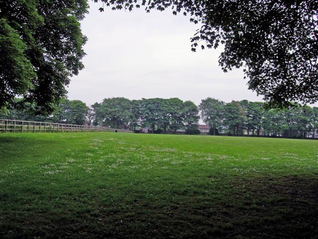
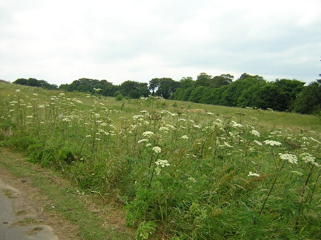
For nature enthusiasts, Moorside boasts stunning landscapes and picturesque walking trails. Surrounding the village are vast moorlands and rolling hills, providing ample opportunities for outdoor activities such as hiking and birdwatching.

Overall, Moorside offers a tranquil and idyllic setting, making it an attractive place to live for those seeking a peaceful rural lifestyle.

If you have any feedback on the listing, please let us know in the comments section below.
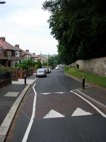
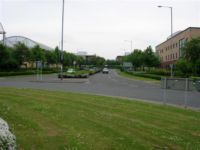
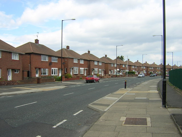
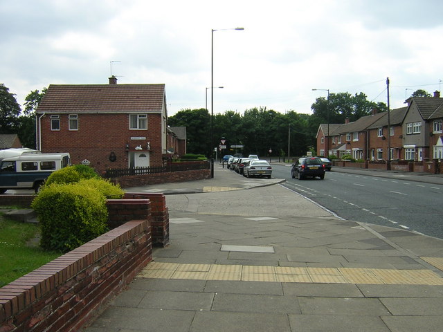
Moorside Images

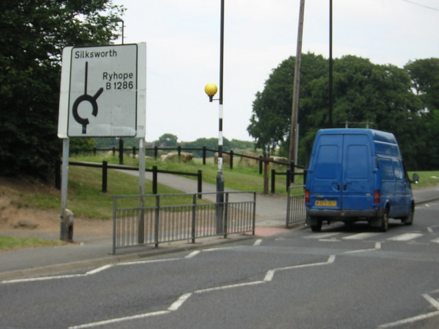
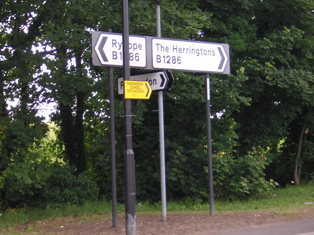
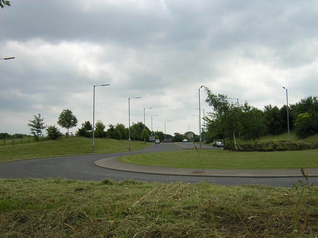
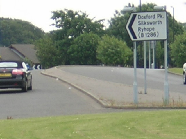
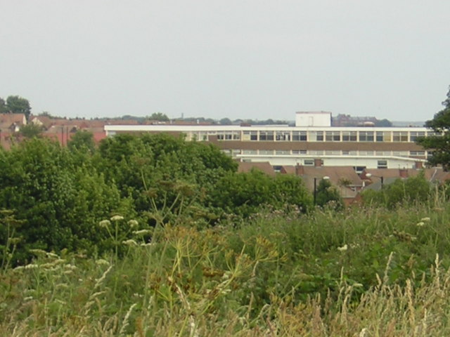
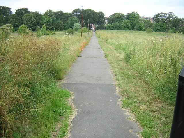
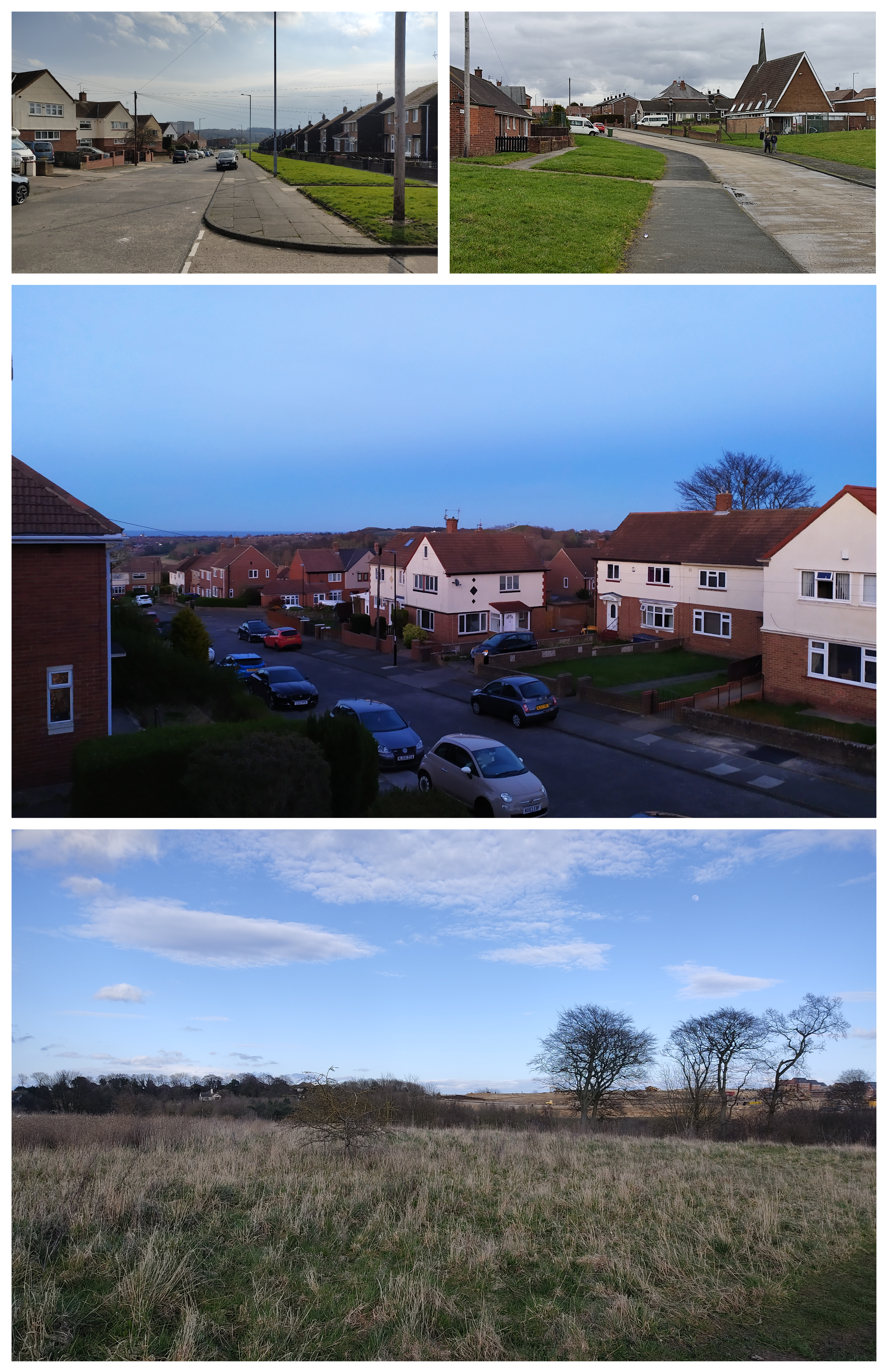
Images are sourced within 2km of 54.866236/-1.4239571 or Grid Reference NZ3752. Thanks to Geograph Open Source API. All images are credited.

Field with power lines Field south of Herrington Road, the B1286.
Field with power lines
Field south of Herrington Road, the B1286.
Looking east along Herrington Road View along the B1286 to East Herrington. The hump in the road ahead is the approach to the bridge over the A19.
Looking east along Herrington Road
View along the B1286 to East Herrington. The hump in the road ahead is the approach to the bridge over the A19.
A lot of power lines beside the B1286 A forest of pylons crossing a field south of Herrington Road.
A lot of power lines beside the B1286
A forest of pylons crossing a field south of Herrington Road.
The Church of St. Chad, East Herrington, Sunderland.
A local park in Herrington, Sunderland A well used park, busy roads all around.
A local park in Herrington, Sunderland
A well used park, busy roads all around.
Parkland next to the A690 Not much used, but good for dog walking.
Parkland next to the A690
Not much used, but good for dog walking.
West Park, Herrington
Entrance to Doxford business park A large complex of call centres, IT companies and similar, built over the last 10 years.
Entrance to Doxford business park
A large complex of call centres, IT companies and similar, built over the last 10 years.
Houses in Farringdon
Farringdon houses looking towards Silksworth Lane
Silksworth Lane
Silksworth Lane
Silksworth Lane directions
Waste land near Silksworth Lane
City Way near Moorside
City Way cutting
City Way cutting
City Way directions
City Way directions
Farringdon School in the distance.
Footpath to Farringdon
Show me another place!

Moorside is located at Grid Ref: NZ3752 (Lat: 54.866236, Lng: -1.4239571)

Unitary Authority: Sunderland

Police Authority: Northumbria

What 3 Words

///radio.round.insect. Near Ryhope, Tyne & Wear

Related Wikis

Doxford Park

Doxford Park (known locally as Doxy Park) is a suburb of Sunderland, Tyne and Wear, located to the south-west of the city centre. Once part of the historical...

Doxford International Business Park

Doxford International is a 125-acre (51 ha) business park located at the A19 / A690 interchange on the outskirts of Sunderland, in the North East of England...

Farringdon, Sunderland

Farringdon is a suburb of Sunderland, Tyne and Wear, England. Originally a Monastic grange and manor estate for hundreds of years, Farringdon was rebuilt...

Farringdon Community Academy

Farringdon Community Academy is a co-educational secondary school with academy status, located in the suburb of Farringdon in Sunderland, Tyne and Wear...

Nearby Amenities

Located within 500m of 54.866236,-1.4239571
Moorside
Is In: Sunderland
Place: suburb
Lat/Long: 54.8653238/-1.4267423
Bus Stop
SILKSWORTH ROAD-FOXHOLE WOOD-W/B
Local Ref: W
Naptan AtcoCode: 410000029030
Naptan Bearing: W
Naptan CommonName: SILKSWORTH ROAD-FOXHOLE WOOD-W/B
Naptan Indicator: W
Naptan Landmark: OPPOSITE FOXHOLE WOOD
Naptan NaptanCode: twrgdpaw
Naptan PlusbusZoneRef: SNDRLND
Naptan Street: SILKSWORTH ROAD
Naptan Verified: no
Source: naptan_import
Lat/Long: 54.8702648/-1.4233845
Bus Stop
SILKSWORTH ROAD-FOXHOLE WOOD-E/B
Local Ref: E
Naptan AtcoCode: 410000029041
Naptan Bearing: E
Naptan CommonName: SILKSWORTH ROAD-FOXHOLE WOOD-E/B
Naptan Indicator: E
Naptan Landmark: OUTSIDE FOXHOLE WOOD
Naptan NaptanCode: twrgdpgj
Naptan PlusbusZoneRef: SNDRLND
Naptan Street: SILKSWORTH ROAD
Naptan Verified: no
Source: naptan_import
Lat/Long: 54.87043/-1.4241146
Bus Stop
DOXFORD PARK WAY-BOWLYNN CLOSE-E/B
Bus: yes
Local Ref: SE
Naptan AtcoCode: 410000029085
Naptan Bearing: SE
Naptan CommonName: DOXFORD PARK WAY-BOWLYNN CLOSE-E/B
Naptan Indicator: SE
Naptan Landmark: OUTSIDE FOOTPATH LEADING TO BOWLYNN CLOSE
Naptan NaptanCode: twrgdtdp
Naptan PlusbusZoneRef: SNDRLND
Naptan Street: DOXFORD PARK WAY
Naptan Verified: no
Public Transport: platform
Source: naptan_import
Lat/Long: 54.8667903/-1.4247213
Bus Stop
DOXFORD PARK SHOPS
Bus: yes
Local Ref: E
Naptan AtcoCode: 410000029086
Naptan Bearing: E
Naptan CommonName: DOXFORD PARK SHOPS
Naptan Indicator: E
Naptan Landmark: OUTSIDE THE DOXFORD LAD PUBLIC HOUSE
Naptan NaptanCode: twrgdtdt
Naptan PlusbusZoneRef: SNDRLND
Naptan Street: DOXFORD PARK WAY
Naptan Verified: no
Public Transport: platform
Source: naptan_import
Lat/Long: 54.8658371/-1.4169646
Bus Stop
DOXFORD PARK WAY-BOWLYNN CLOSE-N/B
Bus: yes
Local Ref: N
Naptan AtcoCode: 410000029092
Naptan Bearing: N
Naptan CommonName: DOXFORD PARK WAY-BOWLYNN CLOSE-N/B
Naptan Indicator: N
Naptan Landmark: 72M NORTH OF MARCROSS DRIVE
Naptan NaptanCode: twrgdtgp
Naptan PlusbusZoneRef: SNDRLND
Naptan Street: DOXFORD PARK WAY
Naptan Verified: no
Public Transport: platform
Source: naptan_import
Lat/Long: 54.8666746/-1.4251895
Bus Stop
MOORSIDE MANSTON CLOSE
Bus: yes
Local Ref: SW
Naptan AtcoCode: 410000029201
Naptan Bearing: SW
Naptan CommonName: MOORSIDE MANSTON CLOSE
Naptan Indicator: SW
Naptan Landmark: OUTSIDE FOOTPATH LEADING TO MANSTON CLOSE
Naptan NaptanCode: twrgdwgm
Naptan PlusbusZoneRef: SNDRLND
Naptan Street: MOORSIDE ROAD
Naptan Verified: no
Public Transport: platform
Source: naptan_import
Lat/Long: 54.8670456/-1.4298094
Bus Stop
Moorside
Bus: yes
Local Ref: S
Naptan AtcoCode: 410000029202
Naptan Bearing: S
Naptan Indicator: S-Bound
Naptan Landmark: Opposite Tennis Courts
Naptan NaptanCode: twrgdwgp
Naptan PlusbusZoneRef: SNDRLND
Naptan Street: Moorside Road
Naptan Verified: no
Public Transport: platform
Source: naptan_import
Lat/Long: 54.8634939/-1.428359
Bus Stop
MOORSIDE ROAD-MIDGLEY DRIVE-E/B
Bus: yes
Local Ref: E
Naptan AtcoCode: 410000029203
Naptan Bearing: E
Naptan CommonName: MOORSIDE ROAD-MIDGLEY DRIVE-E/B
Naptan Indicator: E
Naptan Landmark: OUTSIDE MIDGLEY DRIVE
Naptan NaptanCode: twrgdwgt
Naptan Street: MOORSIDE ROAD
Naptan Verified: no
Public Transport: platform
Source: naptan_import
Lat/Long: 54.8620895/-1.4241817
Bus Stop
MOORSIDE ROAD-MANNINGFORD DRIVE-N/B
Local Ref: N
Naptan AtcoCode: 410000029204
Naptan Bearing: N
Naptan CommonName: MOORSIDE ROAD-MANNINGFORD DRIVE-N/B
Naptan Indicator: N
Naptan Landmark: OUTSIDE MANNINGFORD DRIVE
Naptan NaptanCode: twrgdwgw
Naptan PlusbusZoneRef: SNDRLND
Naptan Street: MOORSIDE ROAD
Naptan Verified: no
Source: naptan_import
Lat/Long: 54.863643/-1.4217964
Bus Stop
DOXFORD PARK SHOPS
Bus: yes
Local Ref: W
Naptan AtcoCode: 410000029950
Naptan Bearing: W
Naptan CommonName: DOXFORD PARK SHOPS
Naptan Indicator: W
Naptan Landmark: OPPOSITE THE DOXFORD LAD PUBLIC HOUSE
Naptan NaptanCode: twrgdwtd
Naptan PlusbusZoneRef: SNDRLND
Naptan Street: DOXFORD PARK WAY
Naptan Verified: no
Public Transport: platform
Source: naptan_import
Lat/Long: 54.865605/-1.4169887
Bus Stop
MOORSIDE ROAD-MIDGLEY DRIVE-W/B
Local Ref: W
Naptan AtcoCode: 410000029962
Naptan Bearing: W
Naptan CommonName: MOORSIDE ROAD-MIDGLEY DRIVE-W/B
Naptan Indicator: W
Naptan Landmark: OPPOSITE MIDGLEY DRIVE
Naptan NaptanCode: twrgtgwa
Naptan PlusbusZoneRef: SNDRLND
Naptan Street: MOORSIDE ROAD
Naptan Verified: no
Source: naptan_import
Lat/Long: 54.8622632/-1.423064
Bus Stop
MOORSIDE ROAD-MANNINGFORD DRIVE-S/B
Local Ref: S
Naptan AtcoCode: 410000029963
Naptan Bearing: S
Naptan CommonName: MOORSIDE ROAD-MANNINGFORD DRIVE-S/B
Naptan Indicator: S
Naptan Landmark: SOUTH OF MANNINGFORD DRIVE JUNCTION
Naptan NaptanCode: twrgtgwd
Naptan PlusbusZoneRef: SNDRLND
Naptan Street: MOORSIDE ROAD
Naptan Verified: no
Source: naptan_import
Lat/Long: 54.8637205/-1.4215799
Bus Stop
MOORSIDE ROAD-DOXFORD PARK WAY-S/B
Bus: yes
Local Ref: SW
Naptan AtcoCode: 410000029964
Naptan Bearing: SW
Naptan CommonName: MOORSIDE ROAD-DOXFORD PARK WAY-S/B
Naptan Indicator: SW
Naptan Landmark: OPPOSITE THE COLONEL PRIOR PUBLIC HOUSE
Naptan NaptanCode: twrgtgwg
Naptan PlusbusZoneRef: SNDRLND
Naptan Street: MOORSIDE ROAD
Naptan Verified: no
Public Transport: platform
Source: naptan_import
Lat/Long: 54.8661204/-1.4208932
Bus Stop
DOXFORD PARK WAY-MELGRAVE DRIVE-W/B
Bus: yes
Local Ref: W
Naptan AtcoCode: 410000029981
Naptan Bearing: W
Naptan CommonName: DOXFORD PARK WAY-MELGRAVE DRIVE-W/B
Naptan Indicator: W
Naptan Landmark: OUTSIDE THE COLONEL PRIOR PUBLIC HOUSE
Naptan NaptanCode: twrgjadp
Naptan PlusbusZoneRef: SNDRLND
Naptan Street: DOXFORD PARK WAY
Naptan Verified: no
Public Transport: platform
Source: naptan_import
Lat/Long: 54.8661291/-1.4227306
Bus Stop
MOORSIDE MANSTON CLOSE
Bus: yes
Local Ref: NE
Naptan AtcoCode: 410000029985
Naptan Bearing: NE
Naptan CommonName: MOORSIDE MANSTON CLOSE
Naptan Indicator: NE
Naptan Landmark: NEAR SUBWAY
Naptan NaptanCode: twrgwmdw
Naptan PlusbusZoneRef: SNDRLND
Naptan Street: MOORSIDE
Naptan Verified: no
Public Transport: platform
Source: naptan_import
Lat/Long: 54.8672603/-1.4296093
Barrier: lift_gate
Lat/Long: 54.8653378/-1.43149
Atm
Drive Through: no
Lat/Long: 54.866736/-1.4171636
Entrance: yes
Lat/Long: 54.8695006/-1.4214274
Pharmacy
Demnox Pharmacy
Dispensing: yes
Drive Through: no
Healthcare: pharmacy
Lat/Long: 54.8666228/-1.4171609
Fast Food
Tommy's
Addr City: Sunderland
Addr Housenumber: 3
Addr Place: William Doxford Centre
Addr Postcode: SR3 2NE
Drive Through: no
Fhrs Id: 651818
Outdoor Seating: no
Smoking: no
Source Addr: FHRS Open Data
Takeaway: only
Lat/Long: 54.8665186/-1.4171614
Martin's
Brand: Martin's
Brand Wikidata: Q116779207
Shop: newsagent
Lat/Long: 54.8662376/-1.4163941
Sunlite
Note: Closed as of March(-ish) 2023.
Shop: dry_cleaning
Lat/Long: 54.8663397/-1.4170422
Fast Food
Cantonese Delight
Addr City: Sunderland
Addr Housenumber: 14
Addr Place: William Doxford Centre
Addr Postcode: SR3 2NE
Cuisine: chinese
Delivery: yes
Drive Through: no
Fhrs Id: 651871
Outdoor Seating: no
Smoking: no
Source Addr: FHRS Open Data
Takeaway: only
Lat/Long: 54.8661347/-1.4163922
Fast Food
Pizza Oven
Addr City: Sunderland
Addr Housenumber: 12
Addr Place: William Doxford Centre
Addr Postcode: SR3 2NE
Cuisine: pizza
Delivery: yes
Drive Through: no
Fhrs Id: 651896
Outdoor Seating: no
Smoking: no
Source Addr: FHRS Open Data
Takeaway: only
Lat/Long: 54.8661848/-1.4163921
William Hill
Brand: William Hill
Brand Wikidata: Q4053147
Shop: bookmaker
Lat/Long: 54.8662961/-1.4163921
Flowers in the Park
Shop: florist
Lat/Long: 54.8663208/-1.4168429
co-operative Travel
Shop: travel_agency
Lat/Long: 54.866302/-1.4169891
Veterinary
Park Veterinary Clinic
Addr City: Sunderland
Lat/Long: 54.8663728/-1.4170968
Coral
Brand: Coral
Brand Wikidata: Q54621344
Shop: bookmaker
Lat/Long: 54.8664625/-1.4171602
The Co-operative Funeralcare
Brand: The Co-operative Funeralcare
Brand Wikidata: Q7726521
Brand Wikipedia: en:Co-op Funeralcare
Shop: funeral_directors
Lat/Long: 54.8664093/-1.4171603
Shop: optician
Lat/Long: 54.8665746/-1.4171605
Parcel Locker
InPost Collection Point
Brand: InPost
Brand Wikidata: Q3182097
Operator: InPost
Parcel Mail In: yes
Parcel Pickup: yes
Lat/Long: 54.8667351/-1.4167817
Parcel Locker
Amazon Collection Point
Brand: Amazon Hub
Brand Wikidata: Q100274430
Note: In-store location. Only accessible when the store is open.
Lat/Long: 54.8667405/-1.4164876
Grit Bin
Lat/Long: 54.8677063/-1.4249902
Grit Bin
Lat/Long: 54.8669635/-1.4207815
Crossing
Crossing: traffic_signals
Lat/Long: 54.869712/-1.4251297
Crossing
Crossing: traffic_signals
Lat/Long: 54.8655583/-1.4164795
Crossing
Crossing: traffic_signals
Lat/Long: 54.8656642/-1.4163816
Northfield Green
Place: suburb
Lat/Long: 54.8675338/-1.4228736
Generator Method: photovoltaic
Generator Output Electricity: yes
Generator Source: solar
Generator Type: solar_photovoltaic_panel
Location: roof
Power: generator
Lat/Long: 54.8679219/-1.4182456
Generator Method: photovoltaic
Generator Output Electricity: yes
Generator Source: solar
Generator Type: solar_photovoltaic_panel
Location: roof
Power: generator
Lat/Long: 54.8680841/-1.4189566
Generator Method: photovoltaic
Generator Output Electricity: yes
Generator Source: solar
Generator Type: solar_photovoltaic_panel
Location: roof
Power: generator
Lat/Long: 54.8692415/-1.4236282
Generator Method: photovoltaic
Generator Output Electricity: yes
Generator Source: solar
Generator Type: solar_photovoltaic_panel
Location: roof
Power: generator
Lat/Long: 54.8679824/-1.4240727
Generator Method: photovoltaic
Generator Output Electricity: yes
Generator Source: solar
Generator Type: solar_photovoltaic_panel
Location: roof
Power: generator
Lat/Long: 54.8669814/-1.4227794
Generator Method: photovoltaic
Generator Output Electricity: yes
Generator Source: solar
Generator Type: solar_photovoltaic_panel
Location: roof
Power: generator
Lat/Long: 54.8669841/-1.422721
Generator Method: photovoltaic
Generator Output Electricity: yes
Generator Source: solar
Generator Type: solar_photovoltaic_panel
Location: roof
Power: generator
Lat/Long: 54.8669105/-1.4226895
Generator Method: photovoltaic
Generator Output Electricity: yes
Generator Source: solar
Generator Type: solar_photovoltaic_panel
Location: roof
Power: generator
Lat/Long: 54.8669014/-1.4227512
Generator Method: photovoltaic
Generator Output Electricity: yes
Generator Source: solar
Generator Type: solar_photovoltaic_panel
Location: roof
Power: generator
Lat/Long: 54.8668718/-1.4242447
Generator Method: photovoltaic
Generator Output Electricity: yes
Generator Source: solar
Generator Type: solar_photovoltaic_panel
Location: roof
Power: generator
Lat/Long: 54.8666457/-1.427013
Generator Method: photovoltaic
Generator Output Electricity: yes
Generator Source: solar
Generator Type: solar_photovoltaic_panel
Location: roof
Power: generator
Lat/Long: 54.865988/-1.4253137
Generator Method: photovoltaic
Generator Output Electricity: yes
Generator Source: solar
Generator Type: solar_photovoltaic_panel
Location: roof
Power: generator
Lat/Long: 54.8660175/-1.4252722
Generator Method: photovoltaic
Generator Output Electricity: yes
Generator Source: solar
Generator Type: solar_photovoltaic_panel
Location: roof
Power: generator
Lat/Long: 54.8659974/-1.4246821
Generator Method: photovoltaic
Generator Output Electricity: yes
Generator Source: solar
Generator Type: solar_photovoltaic_panel
Location: roof
Power: generator
Lat/Long: 54.8658863/-1.4240706
Generator Method: photovoltaic
Generator Output Electricity: yes
Generator Source: solar
Generator Type: solar_photovoltaic_panel
Location: roof
Power: generator
Lat/Long: 54.8657628/-1.4242476
Generator Method: photovoltaic
Generator Output Electricity: yes
Generator Source: solar
Generator Type: solar_photovoltaic_panel
Location: roof
Power: generator
Lat/Long: 54.8655467/-1.4240277
Generator Method: photovoltaic
Generator Output Electricity: yes
Generator Source: solar
Generator Type: solar_photovoltaic_panel
Location: roof
Power: generator
Lat/Long: 54.8641312/-1.4227831
Generator Method: photovoltaic
Generator Output Electricity: yes
Generator Source: solar
Generator Type: solar_photovoltaic_panel
Location: roof
Power: generator
Lat/Long: 54.8637283/-1.4254358
Generator Method: photovoltaic
Generator Output Electricity: yes
Generator Source: solar
Generator Type: solar_photovoltaic_panel
Location: roof
Power: generator
Lat/Long: 54.8636866/-1.425409
Generator Method: photovoltaic
Generator Output Electricity: yes
Generator Source: solar
Generator Type: solar_photovoltaic_panel
Location: roof
Power: generator
Lat/Long: 54.8632983/-1.426946
Generator Method: photovoltaic
Generator Output Electricity: yes
Generator Source: solar
Generator Type: solar_photovoltaic_panel
Location: roof
Power: generator
Lat/Long: 54.8632621/-1.4269137
Generator Method: photovoltaic
Generator Output Electricity: yes
Generator Source: solar
Generator Type: solar_photovoltaic_panel
Location: roof
Power: generator
Lat/Long: 54.8629296/-1.4263813
Generator Method: photovoltaic
Generator Output Electricity: yes
Generator Source: solar
Generator Type: solar_photovoltaic_panel
Location: roof
Power: generator
Lat/Long: 54.862909/-1.4263346
Generator Method: photovoltaic
Generator Output Electricity: yes
Generator Source: solar
Generator Type: solar_photovoltaic_panel
Location: roof
Power: generator
Lat/Long: 54.8630273/-1.4261415
Generator Method: photovoltaic
Generator Output Electricity: yes
Generator Source: solar
Generator Type: solar_photovoltaic_panel
Location: roof
Power: generator
Lat/Long: 54.8632012/-1.4251505
Generator Method: photovoltaic
Generator Output Electricity: yes
Generator Source: solar
Generator Type: solar_photovoltaic_panel
Location: roof
Power: generator
Lat/Long: 54.8648027/-1.417172
Generator Method: photovoltaic
Generator Output Electricity: yes
Generator Source: solar
Generator Type: solar_photovoltaic_panel
Location: roof
Power: generator
Lat/Long: 54.8650327/-1.4167509
Street Lamp
Lat/Long: 54.8680083/-1.4307473
The data included in this document is from www.openstreetmap.org. The data is made available under ODbL.

Have you been to Moorside?

Leave your review of Moorside below (or comments, questions and feedback).