Silksworth

Settlement in Durham

England

Silksworth

The Church of St. Chad, East Herrington, Sunderland.
The Church of St. Chad, East Herrington, Sunderland. Credit: Dave Eagle

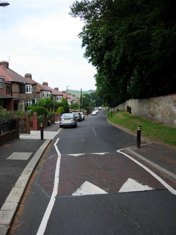
Silksworth is a suburban village located in Sunderland, County Durham, in the northeast of England. Situated approximately 3 miles southeast of Sunderland city center, it is well-connected to the surrounding areas and enjoys easy access to major transportation links.

Historically, Silksworth was a mining community, with coal mining being a significant industry in the region. However, the closure of the local colliery in the 1980s led to a shift towards a more residential focus. Today, Silksworth is primarily a residential area, offering a peaceful and family-friendly environment.

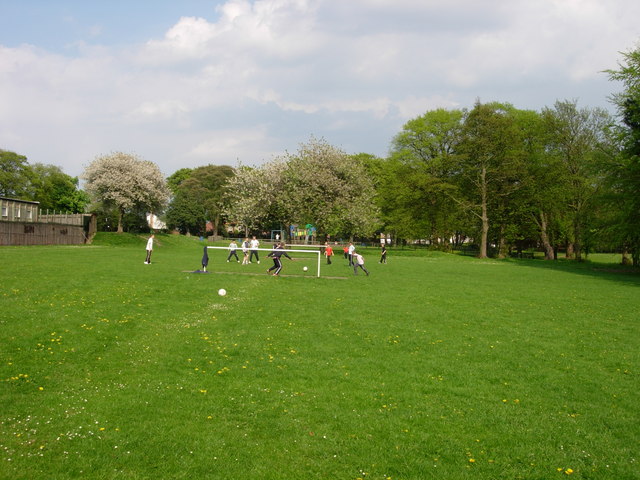
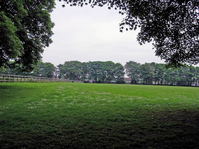
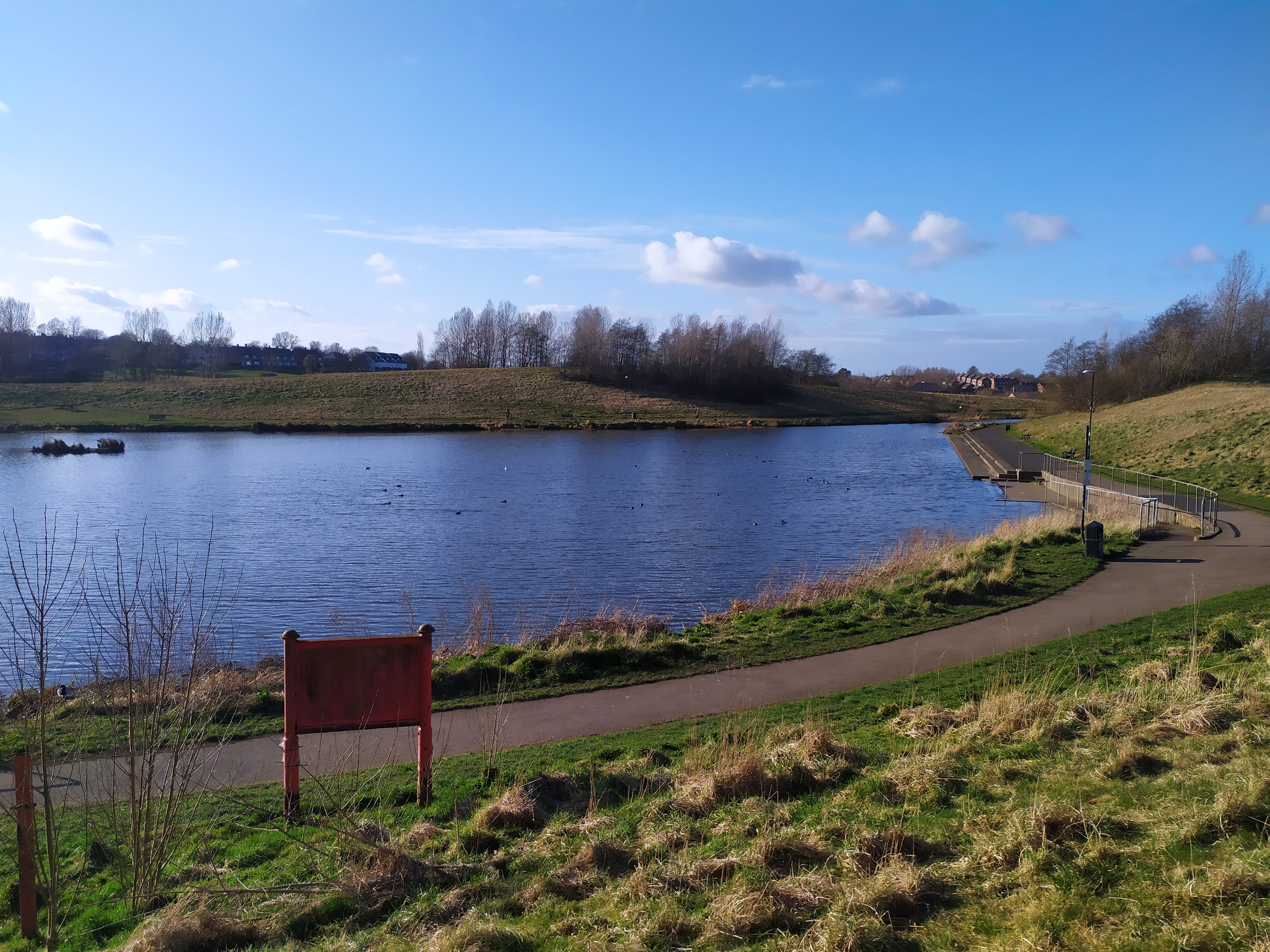
The village is characterized by its picturesque surroundings, with the nearby Silksworth Sports Complex and Ski Slope providing ample opportunities for outdoor activities and recreation. The complex features a range of sports facilities, including a swimming pool, gymnasium, and football pitches, making it a popular destination for both locals and visitors.

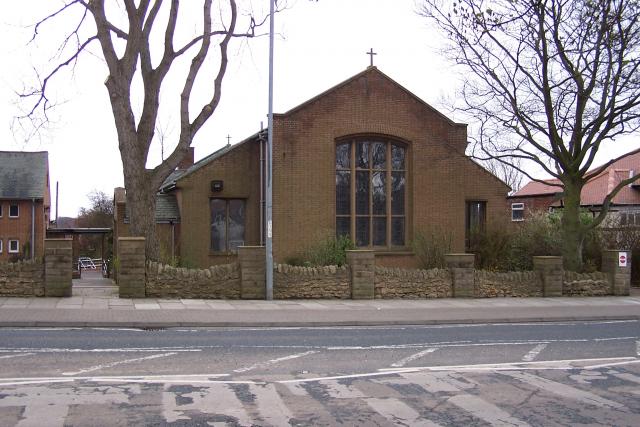
Silksworth is also home to Silksworth Hall, a historic building that has been converted into a community center. The hall hosts various events and activities, contributing to the vibrant community spirit in the area.

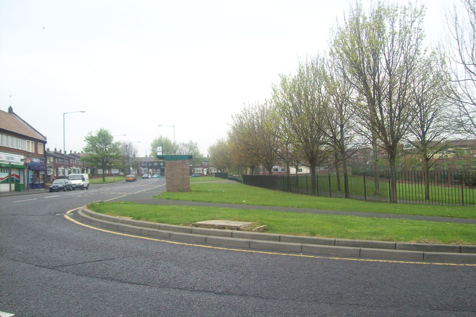
Residents of Silksworth benefit from the availability of essential amenities, including shops, schools, and healthcare facilities, ensuring a convenient and comfortable lifestyle. Additionally, the village is served by reliable public transportation, making it easy to travel to nearby towns and cities.

With its pleasant atmosphere, ample recreational opportunities, and convenient location, Silksworth offers a desirable place to live for individuals and families seeking a suburban lifestyle in County Durham.

If you have any feedback on the listing, please let us know in the comments section below.
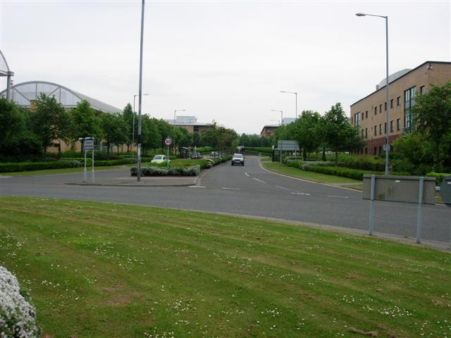
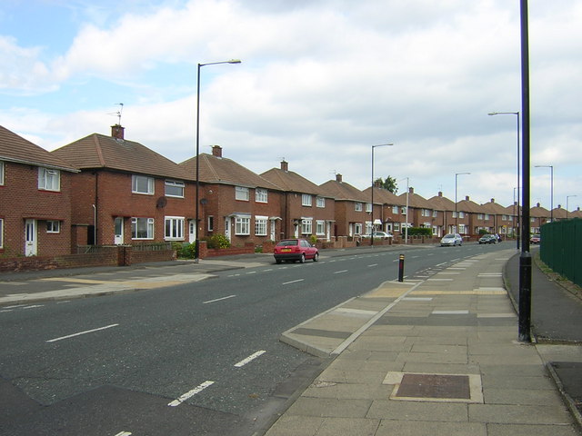
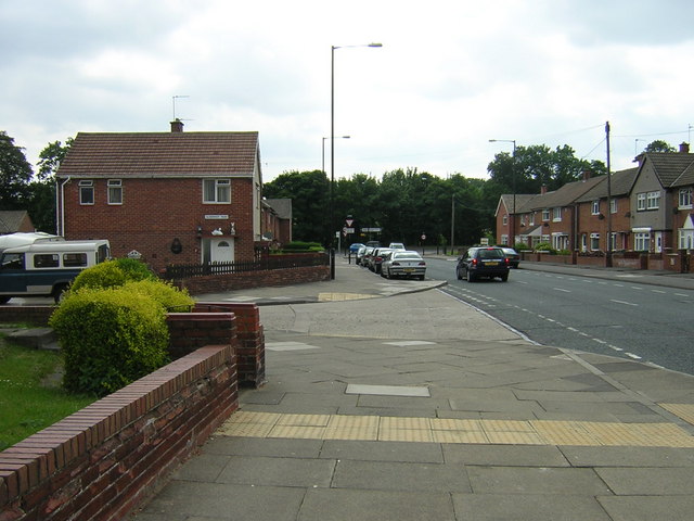
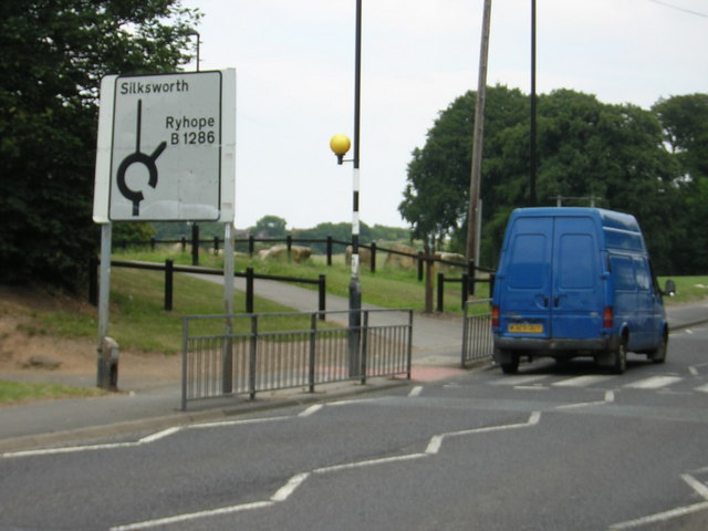
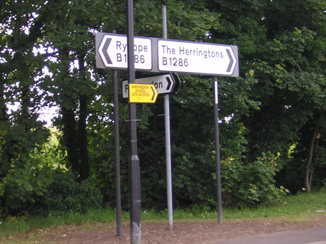
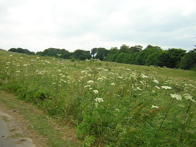
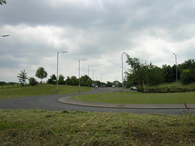
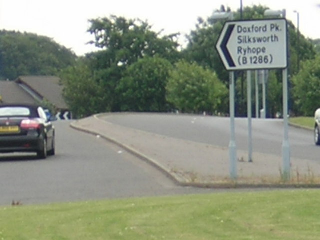
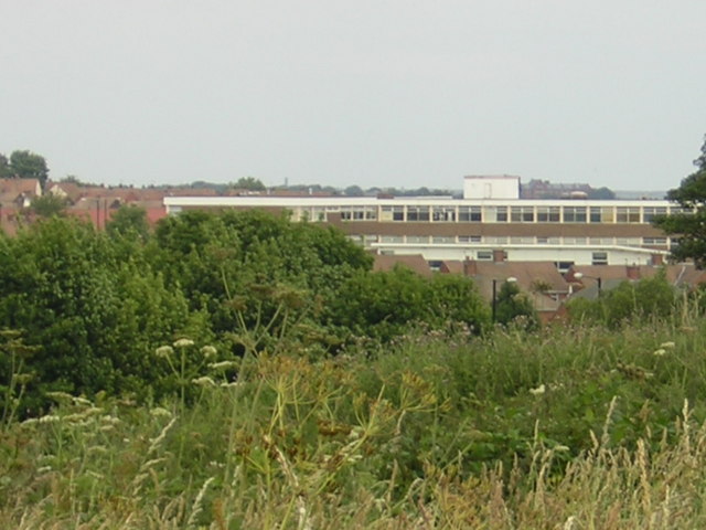
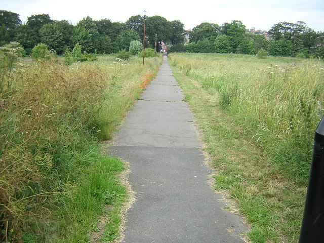
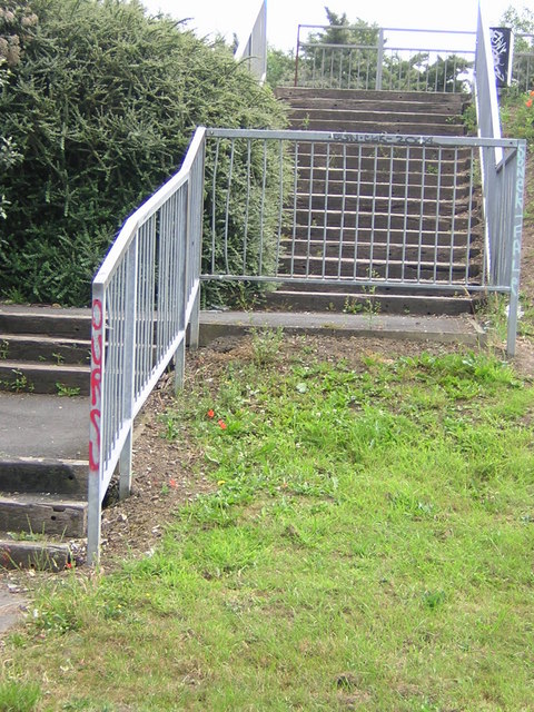
Silksworth Images

Images are sourced within 2km of 54.867977/-1.419554 or Grid Reference NZ3752. Thanks to Geograph Open Source API. All images are credited.

The Church of St. Chad, East Herrington, Sunderland.
A local park in Herrington, Sunderland A well used park, busy roads all around.
A local park in Herrington, Sunderland
A well used park, busy roads all around.
Parkland next to the A690 Not much used, but good for dog walking.
Parkland next to the A690
Not much used, but good for dog walking.
West Park, Herrington
Entrance to Doxford business park A large complex of call centres, IT companies and similar, built over the last 10 years.
Entrance to Doxford business park
A large complex of call centres, IT companies and similar, built over the last 10 years.
Houses in Farringdon
Farringdon houses looking towards Silksworth Lane
Silksworth Lane
Silksworth Lane
Silksworth Lane directions
Waste land near Silksworth Lane
City Way near Moorside
City Way cutting
City Way cutting
City Way directions
City Way directions
Farringdon School in the distance.
Footpath to Farringdon
Cycle path next to City Way
City Way road crossing with graffiti
Buffer zone between East Herrington and City Way
Show me another place!

Silksworth is located at Grid Ref: NZ3752 (Lat: 54.867977, Lng: -1.419554)

Unitary Authority: Sunderland

Police Authority: Northumbria

What 3 Words

///pages.noises.boots. Near Ryhope, Tyne & Wear

Related Wikis

Farringdon, Sunderland

Farringdon is a suburb of Sunderland, Tyne and Wear, England. Originally a Monastic grange and manor estate for hundreds of years, Farringdon was rebuilt...

Doxford Park

Doxford Park (known locally as Doxy Park) is a suburb of Sunderland, Tyne and Wear, located to the south-west of the city centre. Once part of the historical...

Farringdon Community Academy

Farringdon Community Academy is a co-educational secondary school with academy status, located in the suburb of Farringdon in Sunderland, Tyne and Wear...

Doxford International Business Park

Doxford International is a 125-acre (51 ha) business park located at the A19 / A690 interchange on the outskirts of Sunderland, in the North East of England...

Herrington

Herrington is an area in the south of Sunderland, lying within historic County Durham in North East England. The Herringtons are split into East & Middle...

New Silksworth

Silksworth is a suburb of the City of Sunderland, Tyne and Wear. The area can be distinguished into two parts, old Silksworth, the original village and...

Houghton and Sunderland South (UK Parliament constituency)

Houghton and Sunderland South () is a constituency represented in the House of Commons of the UK Parliament since its creation in 2010 by Bridget Phillipson...

Thorney Close

Thorney Close is a suburb of Sunderland, Tyne and Wear in England. It is located on the northern edge of the A690 (Durham Road), and borders with Grindon...

Related Videos

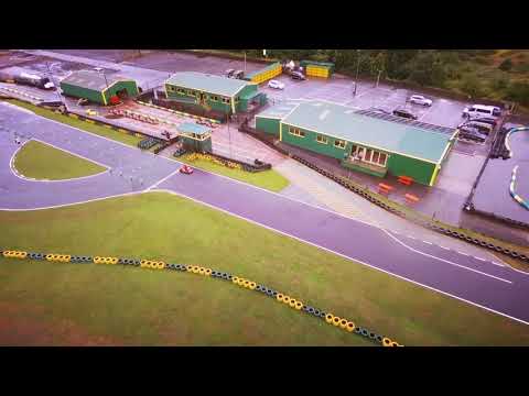
Summer Holiday 2018 - Day Seven

Last day of the holiday - off Karting with the Northern boys! Thanks for the drone footage @guywilks!

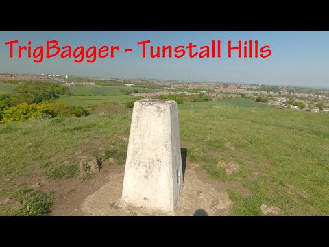
Tunstall Hills- Sunderland

A short trig, this one taken 31/05/21 up at Tunstall hills. This can be reached via Leechmere road in Sunderland. music Cats ...

ECB All Stars Cricket at Silksworth CC - Fuel the Growth of Sri Lanka Cricket Foundation?🇱🇰🏴󠁧󠁢󠁥󠁮󠁧󠁿

ECB All Stars Cricket at Silksworth Cricket Club, A Similar Initiative can Fuel the Growth of Sri Lanka Cricket Foundation" Welcome ...

Tunstall Hills Sunderland

I went for walk on 4th October at a local site. I apologize for the wind noise I've edited the pieces where it was overwhelming.

Nearby Amenities

Located within 500m of 54.867977,-1.419554
Bus Stop
SILKSWORTH ROAD-SILKSWORTH LANE-N/B
Local Ref: N
Naptan AtcoCode: 410000029029
Naptan Bearing: N
Naptan CommonName: SILKSWORTH ROAD-SILKSWORTH LANE-N/B
Naptan Indicator: N
Naptan Landmark: OUTSIDE WARDEN LAW WAY JUNCTION
Naptan NaptanCode: twrgdpat
Naptan PlusbusZoneRef: SNDRLND
Naptan Street: SILKSWORTH ROAD
Naptan Verified: no
Source: naptan_import
Lat/Long: 54.8707764/-1.417596
Bus Stop
SILKSWORTH ROAD-FOXHOLE WOOD-W/B
Local Ref: W
Naptan AtcoCode: 410000029030
Naptan Bearing: W
Naptan CommonName: SILKSWORTH ROAD-FOXHOLE WOOD-W/B
Naptan Indicator: W
Naptan Landmark: OPPOSITE FOXHOLE WOOD
Naptan NaptanCode: twrgdpaw
Naptan PlusbusZoneRef: SNDRLND
Naptan Street: SILKSWORTH ROAD
Naptan Verified: no
Source: naptan_import
Lat/Long: 54.8702648/-1.4233845
Bus Stop
SILKSWORTH ROAD-FOXHOLE WOOD-E/B
Local Ref: E
Naptan AtcoCode: 410000029041
Naptan Bearing: E
Naptan CommonName: SILKSWORTH ROAD-FOXHOLE WOOD-E/B
Naptan Indicator: E
Naptan Landmark: OUTSIDE FOXHOLE WOOD
Naptan NaptanCode: twrgdpgj
Naptan PlusbusZoneRef: SNDRLND
Naptan Street: SILKSWORTH ROAD
Naptan Verified: no
Source: naptan_import
Lat/Long: 54.87043/-1.4241146
Bus Stop
SILKSWORTH ROAD-SILKSWORTH HALL-E/B
Bus: yes
Local Ref: E
Naptan AtcoCode: 410000029042
Naptan Bearing: E
Naptan CommonName: SILKSWORTH ROAD-SILKSWORTH HALL-E/B
Naptan Indicator: E
Naptan Landmark: OPPOSITE ENTRANCE TO SILKSWORTH HALL
Naptan NaptanCode: twrgdpgm
Naptan PlusbusZoneRef: SNDRLND
Naptan Street: SILKSWORTH ROAD
Naptan Verified: no
Public Transport: platform
Source: naptan_import
Lat/Long: 54.8703992/-1.4157626
Bus Stop
DOXFORD PARK WAY-BOWLYNN CLOSE-E/B
Bus: yes
Local Ref: SE
Naptan AtcoCode: 410000029085
Naptan Bearing: SE
Naptan CommonName: DOXFORD PARK WAY-BOWLYNN CLOSE-E/B
Naptan Indicator: SE
Naptan Landmark: OUTSIDE FOOTPATH LEADING TO BOWLYNN CLOSE
Naptan NaptanCode: twrgdtdp
Naptan PlusbusZoneRef: SNDRLND
Naptan Street: DOXFORD PARK WAY
Naptan Verified: no
Public Transport: platform
Source: naptan_import
Lat/Long: 54.8667903/-1.4247213
Bus Stop
DOXFORD PARK SHOPS
Bus: yes
Local Ref: E
Naptan AtcoCode: 410000029086
Naptan Bearing: E
Naptan CommonName: DOXFORD PARK SHOPS
Naptan Indicator: E
Naptan Landmark: OUTSIDE THE DOXFORD LAD PUBLIC HOUSE
Naptan NaptanCode: twrgdtdt
Naptan PlusbusZoneRef: SNDRLND
Naptan Street: DOXFORD PARK WAY
Naptan Verified: no
Public Transport: platform
Source: naptan_import
Lat/Long: 54.8658371/-1.4169646
Bus Stop
DOXFORD PARK WAY-BOWLYNN CLOSE-N/B
Bus: yes
Local Ref: N
Naptan AtcoCode: 410000029092
Naptan Bearing: N
Naptan CommonName: DOXFORD PARK WAY-BOWLYNN CLOSE-N/B
Naptan Indicator: N
Naptan Landmark: 72M NORTH OF MARCROSS DRIVE
Naptan NaptanCode: twrgdtgp
Naptan PlusbusZoneRef: SNDRLND
Naptan Street: DOXFORD PARK WAY
Naptan Verified: no
Public Transport: platform
Source: naptan_import
Lat/Long: 54.8666746/-1.4251895
Bus Stop
MILL HILL ROAD-BAFFIN COURT-S/B
Bus: yes
Local Ref: S
Naptan AtcoCode: 410000029906
Naptan Bearing: S
Naptan CommonName: MILL HILL ROAD-BAFFIN COURT-S/B
Naptan Indicator: S
Naptan Landmark: OPPOSITE DOXFORD PARK SHOPPING CENTRE
Naptan NaptanCode: twrgdwpt
Naptan PlusbusZoneRef: SNDRLND
Naptan Street: MILL HALL ROAD
Naptan Verified: no
Public Transport: platform
Source: naptan_import
Lat/Long: 54.8663493/-1.4145591
Bus Stop
DOXFORD PARK SHOPS
Bus: yes
Local Ref: W
Naptan AtcoCode: 410000029950
Naptan Bearing: W
Naptan CommonName: DOXFORD PARK SHOPS
Naptan Indicator: W
Naptan Landmark: OPPOSITE THE DOXFORD LAD PUBLIC HOUSE
Naptan NaptanCode: twrgdwtd
Naptan PlusbusZoneRef: SNDRLND
Naptan Street: DOXFORD PARK WAY
Naptan Verified: no
Public Transport: platform
Source: naptan_import
Lat/Long: 54.865605/-1.4169887
Bus Stop
MOORSIDE ROAD-MANNINGFORD DRIVE-S/B
Local Ref: S
Naptan AtcoCode: 410000029963
Naptan Bearing: S
Naptan CommonName: MOORSIDE ROAD-MANNINGFORD DRIVE-S/B
Naptan Indicator: S
Naptan Landmark: SOUTH OF MANNINGFORD DRIVE JUNCTION
Naptan NaptanCode: twrgtgwd
Naptan PlusbusZoneRef: SNDRLND
Naptan Street: MOORSIDE ROAD
Naptan Verified: no
Source: naptan_import
Lat/Long: 54.8637205/-1.4215799
Bus Stop
MOORSIDE ROAD-DOXFORD PARK WAY-S/B
Bus: yes
Local Ref: SW
Naptan AtcoCode: 410000029964
Naptan Bearing: SW
Naptan CommonName: MOORSIDE ROAD-DOXFORD PARK WAY-S/B
Naptan Indicator: SW
Naptan Landmark: OPPOSITE THE COLONEL PRIOR PUBLIC HOUSE
Naptan NaptanCode: twrgtgwg
Naptan PlusbusZoneRef: SNDRLND
Naptan Street: MOORSIDE ROAD
Naptan Verified: no
Public Transport: platform
Source: naptan_import
Lat/Long: 54.8661204/-1.4208932
Bus Stop
DOXFORD PARK WAY-MELGRAVE DRIVE-W/B
Bus: yes
Local Ref: W
Naptan AtcoCode: 410000029981
Naptan Bearing: W
Naptan CommonName: DOXFORD PARK WAY-MELGRAVE DRIVE-W/B
Naptan Indicator: W
Naptan Landmark: OUTSIDE THE COLONEL PRIOR PUBLIC HOUSE
Naptan NaptanCode: twrgjadp
Naptan PlusbusZoneRef: SNDRLND
Naptan Street: DOXFORD PARK WAY
Naptan Verified: no
Public Transport: platform
Source: naptan_import
Lat/Long: 54.8661291/-1.4227306
Atm
Drive Through: no
Lat/Long: 54.866736/-1.4171636
Entrance: yes
Lat/Long: 54.8695006/-1.4214274
Pharmacy
Demnox Pharmacy
Dispensing: yes
Drive Through: no
Healthcare: pharmacy
Lat/Long: 54.8666228/-1.4171609
Fast Food
Tommy's
Addr City: Sunderland
Addr Housenumber: 3
Addr Place: William Doxford Centre
Addr Postcode: SR3 2NE
Drive Through: no
Fhrs Id: 651818
Outdoor Seating: no
Smoking: no
Source Addr: FHRS Open Data
Takeaway: only
Lat/Long: 54.8665186/-1.4171614
Martin's
Brand: Martin's
Brand Wikidata: Q116779207
Shop: newsagent
Lat/Long: 54.8662376/-1.4163941
Sunlite
Note: Closed as of March(-ish) 2023.
Shop: dry_cleaning
Lat/Long: 54.8663397/-1.4170422
Fast Food
Cantonese Delight
Addr City: Sunderland
Addr Housenumber: 14
Addr Place: William Doxford Centre
Addr Postcode: SR3 2NE
Cuisine: chinese
Delivery: yes
Drive Through: no
Fhrs Id: 651871
Outdoor Seating: no
Smoking: no
Source Addr: FHRS Open Data
Takeaway: only
Lat/Long: 54.8661347/-1.4163922
Fast Food
Pizza Oven
Addr City: Sunderland
Addr Housenumber: 12
Addr Place: William Doxford Centre
Addr Postcode: SR3 2NE
Cuisine: pizza
Delivery: yes
Drive Through: no
Fhrs Id: 651896
Outdoor Seating: no
Smoking: no
Source Addr: FHRS Open Data
Takeaway: only
Lat/Long: 54.8661848/-1.4163921
William Hill
Brand: William Hill
Brand Wikidata: Q4053147
Shop: bookmaker
Lat/Long: 54.8662961/-1.4163921
Flowers in the Park
Shop: florist
Lat/Long: 54.8663208/-1.4168429
co-operative Travel
Shop: travel_agency
Lat/Long: 54.866302/-1.4169891
Veterinary
Park Veterinary Clinic
Addr City: Sunderland
Lat/Long: 54.8663728/-1.4170968
Coral
Brand: Coral
Brand Wikidata: Q54621344
Shop: bookmaker
Lat/Long: 54.8664625/-1.4171602
The Co-operative Funeralcare
Brand: The Co-operative Funeralcare
Brand Wikidata: Q7726521
Brand Wikipedia: en:Co-op Funeralcare
Shop: funeral_directors
Lat/Long: 54.8664093/-1.4171603
Shop: optician
Lat/Long: 54.8665746/-1.4171605
Parcel Locker
InPost Collection Point
Brand: InPost
Brand Wikidata: Q3182097
Operator: InPost
Parcel Mail In: yes
Parcel Pickup: yes
Lat/Long: 54.8667351/-1.4167817
Parcel Locker
Amazon Collection Point
Brand: Amazon Hub
Brand Wikidata: Q100274430
Note: In-store location. Only accessible when the store is open.
Lat/Long: 54.8667405/-1.4164876
Grit Bin
Lat/Long: 54.8677063/-1.4249902
Grit Bin
Lat/Long: 54.8669635/-1.4207815
Crossing
Crossing: traffic_signals
Lat/Long: 54.869712/-1.4251297
Crossing
Crossing: traffic_signals
Lat/Long: 54.8655583/-1.4164795
Crossing
Crossing: traffic_signals
Lat/Long: 54.8656642/-1.4163816
Northfield Green
Place: suburb
Lat/Long: 54.8675338/-1.4228736
Recycling
Recycling Type: container
Lat/Long: 54.8666221/-1.4147595
Fixme: Review with an on-ground survey. These may actually be solar thermal instead of PV.
Generator Method: photovoltaic
Generator Output Electricity: yes
Generator Source: solar
Generator Type: solar_photovoltaic_panel
Location: roof
Power: generator
Lat/Long: 54.8678712/-1.4117731
Generator Method: photovoltaic
Generator Output Electricity: yes
Generator Source: solar
Generator Type: solar_photovoltaic_panel
Location: roof
Power: generator
Lat/Long: 54.8677/-1.4126536
Generator Method: photovoltaic
Generator Output Electricity: yes
Generator Source: solar
Generator Type: solar_photovoltaic_panel
Location: roof
Power: generator
Lat/Long: 54.8676105/-1.4121531
Generator Method: photovoltaic
Generator Output Electricity: yes
Generator Source: solar
Generator Type: solar_photovoltaic_panel
Location: roof
Power: generator
Lat/Long: 54.8675155/-1.4121639
Generator Method: photovoltaic
Generator Output Electricity: yes
Generator Source: solar
Generator Type: solar_photovoltaic_panel
Location: roof
Power: generator
Lat/Long: 54.8672368/-1.4120944
Generator Method: photovoltaic
Generator Output Electricity: yes
Generator Source: solar
Generator Type: solar_photovoltaic_panel
Location: roof
Power: generator
Lat/Long: 54.8673958/-1.4121654
Generator Method: photovoltaic
Generator Output Electricity: yes
Generator Source: solar
Generator Type: solar_photovoltaic_panel
Location: roof
Power: generator
Lat/Long: 54.8672826/-1.413452
Generator Method: photovoltaic
Generator Output Electricity: yes
Generator Source: solar
Generator Type: solar_photovoltaic_panel
Location: roof
Power: generator
Lat/Long: 54.8672517/-1.4129342
Generator Method: photovoltaic
Generator Output Electricity: yes
Generator Source: solar
Generator Type: solar_photovoltaic_panel
Location: roof
Power: generator
Lat/Long: 54.8671951/-1.412847
Generator Method: photovoltaic
Generator Output Electricity: yes
Generator Source: solar
Generator Type: solar_photovoltaic_panel
Location: roof
Power: generator
Lat/Long: 54.8668851/-1.4123258
Generator Method: photovoltaic
Generator Output Electricity: yes
Generator Source: solar
Generator Type: solar_photovoltaic_panel
Location: roof
Power: generator
Lat/Long: 54.866908/-1.4125984
Generator Method: photovoltaic
Generator Output Electricity: yes
Generator Source: solar
Generator Type: solar_photovoltaic_panel
Location: roof
Power: generator
Lat/Long: 54.866936/-1.4127771
Generator Method: photovoltaic
Generator Output Electricity: yes
Generator Source: solar
Generator Type: solar_photovoltaic_panel
Location: roof
Power: generator
Lat/Long: 54.8663435/-1.4135372
Generator Method: photovoltaic
Generator Output Electricity: yes
Generator Source: solar
Generator Type: solar_photovoltaic_panel
Location: roof
Power: generator
Lat/Long: 54.8657776/-1.4139527
Generator Method: photovoltaic
Generator Output Electricity: yes
Generator Source: solar
Generator Type: solar_photovoltaic_panel
Location: roof
Power: generator
Lat/Long: 54.8657803/-1.4135442
Generator Method: photovoltaic
Generator Output Electricity: yes
Generator Source: solar
Generator Type: solar_photovoltaic_panel
Location: roof
Power: generator
Lat/Long: 54.866402/-1.4128105
Generator Method: photovoltaic
Generator Output Electricity: yes
Generator Source: solar
Generator Type: solar_photovoltaic_panel
Location: roof
Power: generator
Lat/Long: 54.8663773/-1.4125986
Generator Method: photovoltaic
Generator Output Electricity: yes
Generator Source: solar
Generator Type: solar_photovoltaic_panel
Location: roof
Power: generator
Lat/Long: 54.8679219/-1.4182456
Generator Method: photovoltaic
Generator Output Electricity: yes
Generator Source: solar
Generator Type: solar_photovoltaic_panel
Location: roof
Power: generator
Lat/Long: 54.8680841/-1.4189566
Generator Method: photovoltaic
Generator Output Electricity: yes
Generator Source: solar
Generator Type: solar_photovoltaic_panel
Location: roof
Power: generator
Lat/Long: 54.8692415/-1.4236282
Generator Method: photovoltaic
Generator Output Electricity: yes
Generator Source: solar
Generator Type: solar_photovoltaic_panel
Location: roof
Power: generator
Lat/Long: 54.8679824/-1.4240727
Generator Method: photovoltaic
Generator Output Electricity: yes
Generator Source: solar
Generator Type: solar_photovoltaic_panel
Location: roof
Power: generator
Lat/Long: 54.8669814/-1.4227794
Generator Method: photovoltaic
Generator Output Electricity: yes
Generator Source: solar
Generator Type: solar_photovoltaic_panel
Location: roof
Power: generator
Lat/Long: 54.8669841/-1.422721
Generator Method: photovoltaic
Generator Output Electricity: yes
Generator Source: solar
Generator Type: solar_photovoltaic_panel
Location: roof
Power: generator
Lat/Long: 54.8669105/-1.4226895
Generator Method: photovoltaic
Generator Output Electricity: yes
Generator Source: solar
Generator Type: solar_photovoltaic_panel
Location: roof
Power: generator
Lat/Long: 54.8669014/-1.4227512
Generator Method: photovoltaic
Generator Output Electricity: yes
Generator Source: solar
Generator Type: solar_photovoltaic_panel
Location: roof
Power: generator
Lat/Long: 54.8668718/-1.4242447
Generator Method: photovoltaic
Generator Output Electricity: yes
Generator Source: solar
Generator Type: solar_photovoltaic_panel
Location: roof
Power: generator
Lat/Long: 54.8666457/-1.427013
Generator Method: photovoltaic
Generator Output Electricity: yes
Generator Source: solar
Generator Type: solar_photovoltaic_panel
Location: roof
Power: generator
Lat/Long: 54.865988/-1.4253137
Generator Method: photovoltaic
Generator Output Electricity: yes
Generator Source: solar
Generator Type: solar_photovoltaic_panel
Location: roof
Power: generator
Lat/Long: 54.8660175/-1.4252722
Generator Method: photovoltaic
Generator Output Electricity: yes
Generator Source: solar
Generator Type: solar_photovoltaic_panel
Location: roof
Power: generator
Lat/Long: 54.8659974/-1.4246821
Generator Method: photovoltaic
Generator Output Electricity: yes
Generator Source: solar
Generator Type: solar_photovoltaic_panel
Location: roof
Power: generator
Lat/Long: 54.8658863/-1.4240706
Generator Method: photovoltaic
Generator Output Electricity: yes
Generator Source: solar
Generator Type: solar_photovoltaic_panel
Location: roof
Power: generator
Lat/Long: 54.8657628/-1.4242476
Generator Method: photovoltaic
Generator Output Electricity: yes
Generator Source: solar
Generator Type: solar_photovoltaic_panel
Location: roof
Power: generator
Lat/Long: 54.8655467/-1.4240277
Generator Method: photovoltaic
Generator Output Electricity: yes
Generator Source: solar
Generator Type: solar_photovoltaic_panel
Location: roof
Power: generator
Lat/Long: 54.8641312/-1.4227831
Generator Method: photovoltaic
Generator Output Electricity: yes
Generator Source: solar
Generator Type: solar_photovoltaic_panel
Location: roof
Power: generator
Lat/Long: 54.8648027/-1.417172
Generator Method: photovoltaic
Generator Output Electricity: yes
Generator Source: solar
Generator Type: solar_photovoltaic_panel
Location: roof
Power: generator
Lat/Long: 54.8650327/-1.4167509
Generator Method: photovoltaic
Generator Output Electricity: yes
Generator Source: solar
Generator Type: solar_photovoltaic_panel
Location: roof
Power: generator
Lat/Long: 54.8642825/-1.4151388
Charging Station
Lat/Long: 54.8669704/-1.4147705
The data included in this document is from www.openstreetmap.org. The data is made available under ODbL.

Have you been to Silksworth?

Leave your review of Silksworth below (or comments, questions and feedback).