Moorgate
Settlement in Lancashire
England
Moorgate
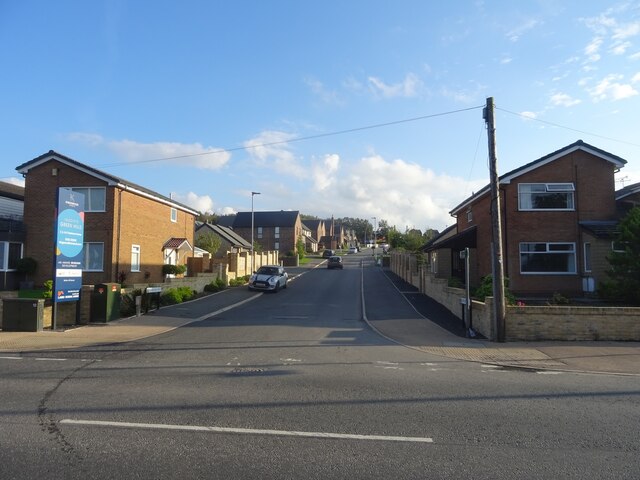
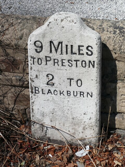
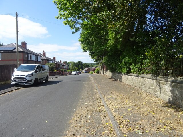
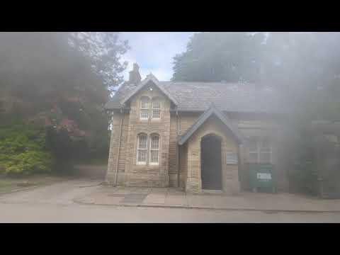
Moorgate is a small village located in the county of Lancashire, England. Situated in the northern part of the county, it lies approximately 6 miles northeast of the city of Preston. With a population of around 1,000 residents, Moorgate is known for its peaceful and rural setting.
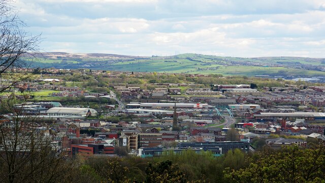
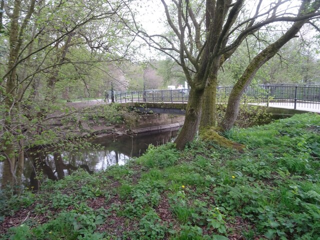
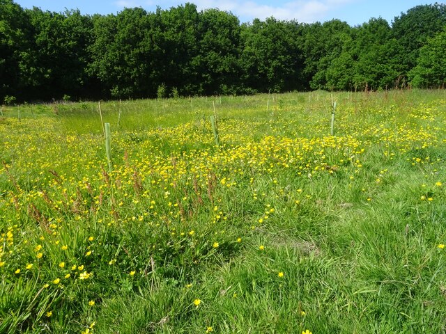
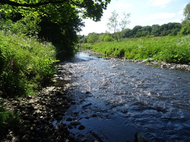
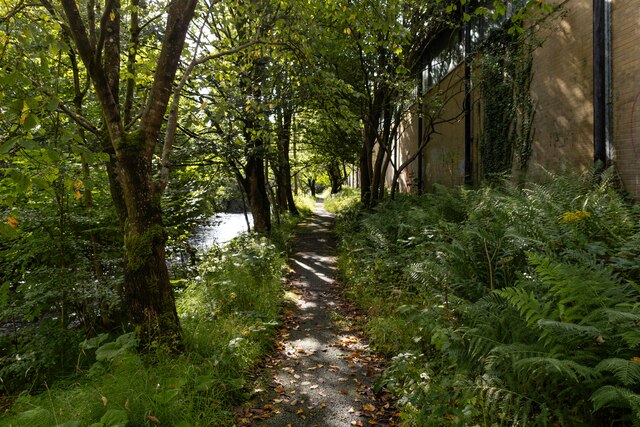
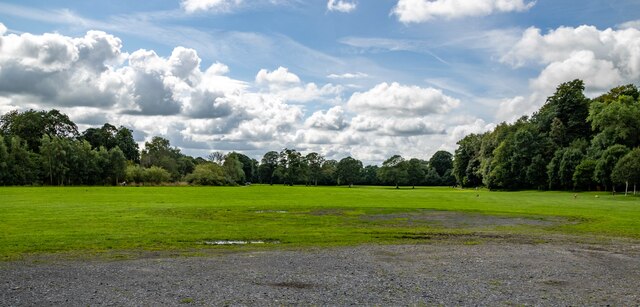
The village is surrounded by picturesque countryside, characterized by rolling hills and green fields. It offers a tranquil and idyllic atmosphere, making it an attractive destination for those seeking a quiet retreat from urban life. The area is particularly popular among nature enthusiasts and outdoor lovers who can explore the beautiful landscape through various walking trails and cycling routes.
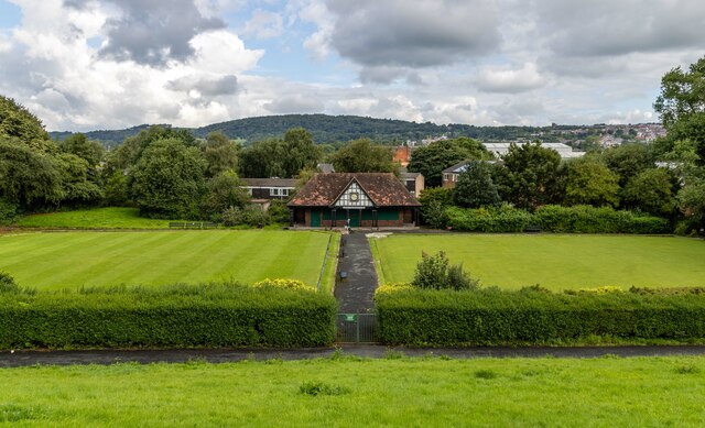
Despite its small size, Moorgate boasts a strong sense of community. The village has a range of essential amenities, including a primary school, a local shop, and a post office, ensuring that residents have access to everyday necessities. Additionally, the nearby town of Longridge provides further services and amenities, such as supermarkets, healthcare facilities, and leisure activities.
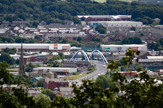
Moorgate's location offers convenient transport links to surrounding areas. The village is situated close to major roads, including the A59 and A6, providing easy access to Preston, Blackburn, and the Yorkshire Dales. Public transportation options are also available, with regular bus services connecting Moorgate to neighboring towns and cities.
In conclusion, Moorgate is a charming village in Lancashire, offering a peaceful countryside environment, a strong community spirit, and convenient access to nearby amenities and transport links.
If you have any feedback on the listing, please let us know in the comments section below.
Moorgate Images
Images are sourced within 2km of 53.727823/-2.4981129 or Grid Reference SD6725. Thanks to Geograph Open Source API. All images are credited.


Moorgate is located at Grid Ref: SD6725 (Lat: 53.727823, Lng: -2.4981129)
Unitary Authority: Blackburn with Darwen
Police Authority: Lancashire
What 3 Words
///water.adults.yours. Near Blackburn, Lancashire
Nearby Locations
Related Wikis

St Andrew's Church, Blackburn
St Andrew's Church is in Livesey Branch Road, Blackburn, Lancashire, England. It is a redundant Anglican church designed by the Lancaster architect E...
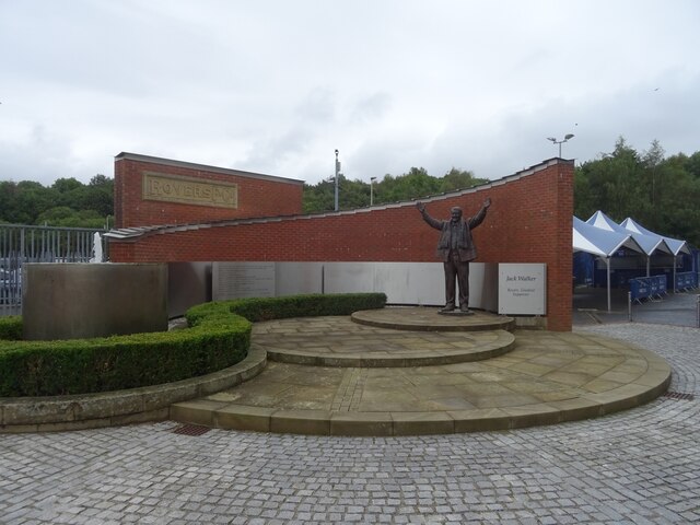
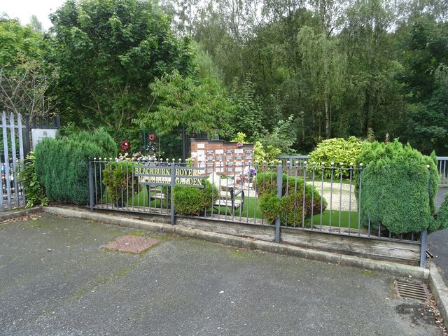
Blackburn Rovers F.C.
Blackburn Rovers Football Club is a professional football club, based in Blackburn, Lancashire, England, which competes in the EFL Championship, the second...

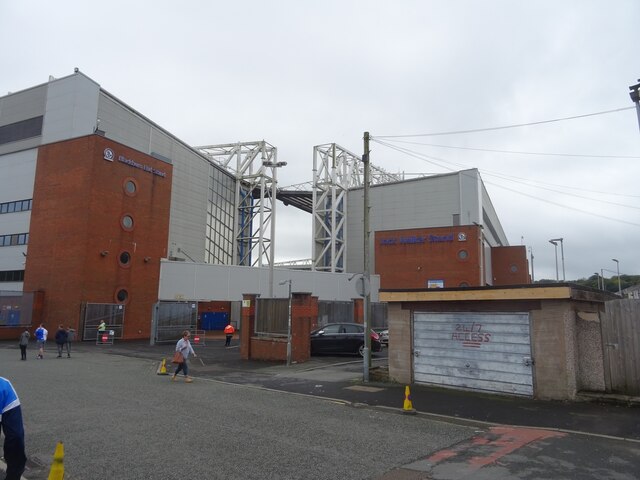
Ewood Park
Ewood Park () is a football stadium in Blackburn, Lancashire, England, and the home of Blackburn Rovers F.C., founding members of the Football League and...
Radio Rovers
Radio Rovers was the official radio station of the English Championship football side Blackburn Rovers FC. It was launched at Ewood Park on 30 October...
Related Videos

OUR TRAVEL JOURNEY 2019 | 🇳🇱 🇮🇩🇨🇭🇮🇹 🇫🇷 🇲🇨 🇦🇩 🇪🇸 🇱🇺 🇧🇪 🇲🇦
Hi genks, ini highlights travel journey kita selama 2019 di 11 negara yg berhasil kita jelajahi dg alhamdulillah selamat sentosa.

Blackburn walking tour 4K | England | UK PART 1
Join us for this virtual Blackburn walking tour. Blackburn is a large industrial town located in Lancashire, England, north of the ...

Walking around The Mall in Blackburn great shopping centre || Walking tour
I take a walk round best shopping centre the mall in Blackburn. #walkingtour #tour #shopping.
Blackburn, England || Corporation Park walking Tour with relaxing music ||
England#Blackburn#park#tour# This video is all about walking tour in the corporation park with relaxing music.
Nearby Amenities
Located within 500m of 53.727823,-2.4981129Have you been to Moorgate?
Leave your review of Moorgate below (or comments, questions and feedback).