Fernhurst Wood

Wood, Forest in Lancashire

England

Fernhurst Wood

Ewood Park, Blackburn The corner of the Blackburn End (left) and Jack Walker Stand (right) at Ewood Park, home of Blackburn Rovers Football Club.
Ewood Park, Blackburn Credit: Greum

Fernhurst Wood, located in Lancashire, is a picturesque forest that offers a tranquil escape from the hustle and bustle of urban life. Spanning over a vast area, this woodland area is a popular destination for nature enthusiasts and hikers alike.

The forest is characterized by its dense canopy of towering trees, creating a shaded and cool environment even on hot summer days. The predominant tree species in Fernhurst Wood include oak, beech, and birch, which contribute to the diverse ecosystem found within the forest.

Visitors to Fernhurst Wood can enjoy a variety of activities, such as leisurely walks along well-maintained trails that wind through the forest. These trails provide opportunities to observe the native wildlife, including squirrels, rabbits, and a wide array of bird species.

For those seeking a more adventurous experience, Fernhurst Wood offers a network of challenging hiking routes, which lead to stunning viewpoints and panoramic vistas of the surrounding Lancashire countryside. These hikes are particularly popular during the autumn months when the foliage displays vibrant hues of red, orange, and gold.

In addition to its natural beauty, Fernhurst Wood is also home to a diverse range of plant life, including an impressive collection of wildflowers and ferns. This makes it an ideal destination for botany enthusiasts and photographers who can capture the beauty of the forest's flora.

Overall, Fernhurst Wood in Lancashire is a haven of tranquility and natural beauty, offering visitors a chance to connect with nature and enjoy the serenity of the forest.

If you have any feedback on the listing, please let us know in the comments section below.

Fernhurst Wood Images

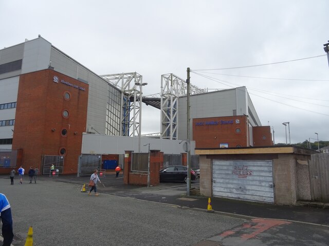
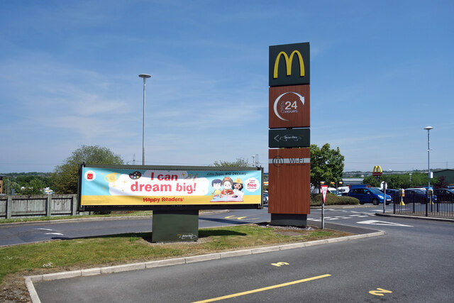
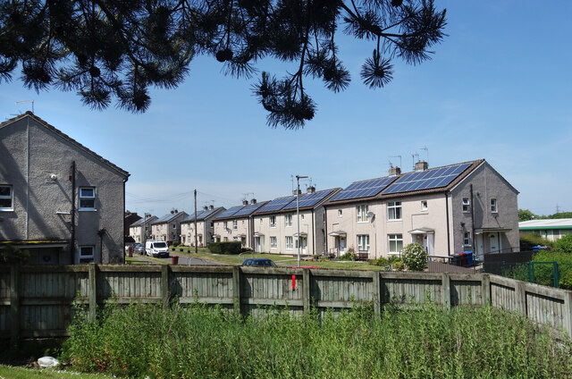
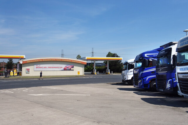
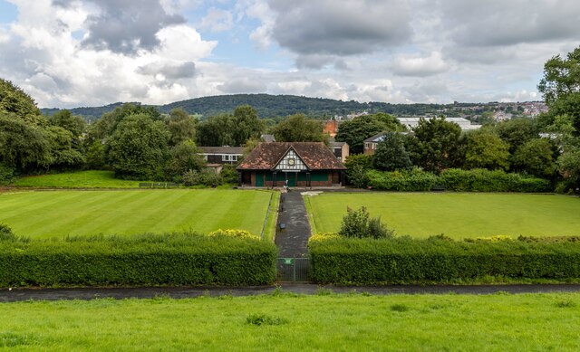
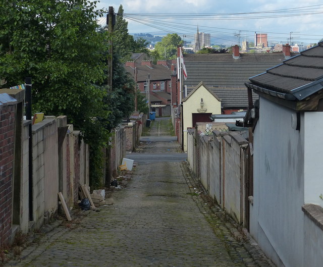
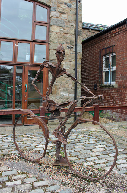
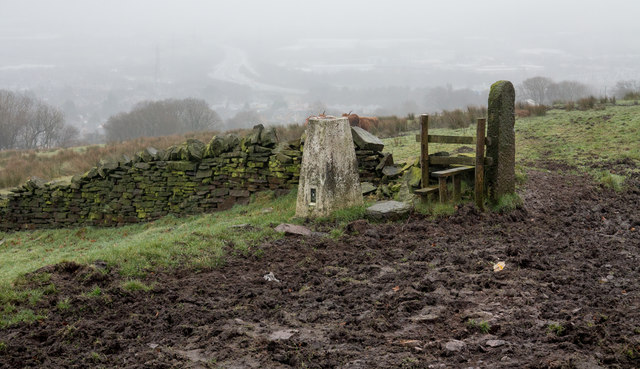
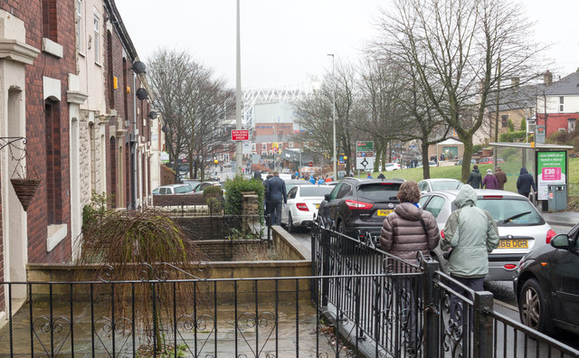
Images are sourced within 2km of 53.72354/-2.4882114 or Grid Reference SD6725. Thanks to Geograph Open Source API. All images are credited.

Ewood Park, Blackburn The corner of the Blackburn End (left) and Jack Walker Stand (right) at Ewood Park, home of Blackburn Rovers Football Club.
Ewood Park, Blackburn
The corner of the Blackburn End (left) and Jack Walker Stand (right) at Ewood Park, home of Blackburn Rovers Football Club.
Jack Walker statue, Ewood Park
Blackburn Rovers Memorial Garden, Ewood Park
Footbridge over the River Darwen by Ewood Park
Dreaming Big at McDonald's Dreaming's free, I guess you can do it anywhere. 
A picture at Blackburn  & Darwen Services on the M65.
Dreaming Big at McDonald's
Dreaming's free, I guess you can do it anywhere. A picture at Blackburn & Darwen Services on the M65.
Redvers Road, Darwen Solar power on all the houses along here.
Redvers Road, Darwen
Solar power on all the houses along here.
Trucks at the Services Another picture taken during a leg stretch around Blackburn & Darwen Services after a long drive.
Trucks at the Services
Another picture taken during a leg stretch around Blackburn & Darwen Services after a long drive.
Green Park Bowling Green Green Park Bowling Green seen from the Leeds & Liverpool Canal.
Green Park Bowling Green
Green Park Bowling Green seen from the Leeds & Liverpool Canal.
Rusty Cyclist! Artwork alongside the Leeds & Liverpool Canal.
Rusty Cyclist!
Artwork alongside the Leeds & Liverpool Canal.
M65 eastbound nears Junction 4
M65 eastbound exit at Junction 4
M65 eastbound passes under railway bridge
Alleyway in the Mill Hill area of Blackburn
Sculpture alongside the Leeds Liverpool canal Sculpture alongside the basin between Locks 55 and 56 on the Leeds Liverpool canal at Blackburn.
Sculpture alongside the Leeds Liverpool canal
Sculpture alongside the basin between Locks 55 and 56 on the Leeds Liverpool canal at Blackburn.
Trig point of Fernhurst Hill The triangulation column stands beside a public footpath near to a bend of Bog Height Road on high ground to the south of Blackburn.
Trig point of Fernhurst Hill
The triangulation column stands beside a public footpath near to a bend of Bog Height Road on high ground to the south of Blackburn.
Livesey Branch Road Livesey Branch Road, the A6062, is close to the centre of Blackburn; the view is towards Ewood Park part of which fills the centre of the image. Many of the folk in the image are heading there to watch an FA Cup match between Blackburn Rovers and Manchester United.
Livesey Branch Road
Livesey Branch Road, the A6062, is close to the centre of Blackburn; the view is towards Ewood Park part of which fills the centre of the image. Many of the folk in the image are heading there to watch an FA Cup match between Blackburn Rovers and Manchester United.
Ewood Park, Riverside Stand The southern end of the Riverside Stand as seen from the Jack Walker Stand.
Ewood Park, Riverside Stand
The southern end of the Riverside Stand as seen from the Jack Walker Stand.
Mossbridge Convenience Store A general grocer in Darwen.
Mossbridge Convenience Store
A general grocer in Darwen.
Show me another place!

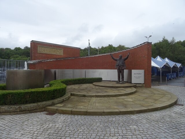
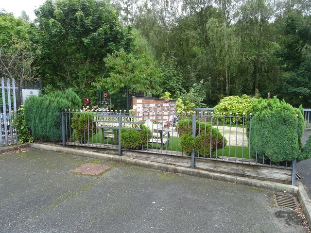
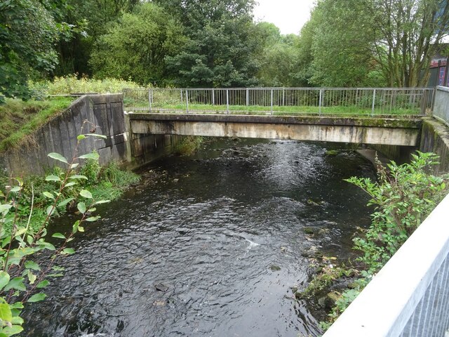
Fernhurst Wood is located at Grid Ref: SD6725 (Lat: 53.72354, Lng: -2.4882114)

Unitary Authority: Blackburn with Darwen

Police Authority: Lancashire

What 3 Words

///melt.ruled.relax. Near Blackburn, Lancashire

Related Wikis

Radio Rovers

Radio Rovers was the official radio station of the English Championship football side Blackburn Rovers FC. It was launched at Ewood Park on 30 October...

Blackburn Rovers F.C.

Blackburn Rovers Football Club is a professional football club, based in Blackburn, Lancashire, England, which competes in the EFL Championship, the second...
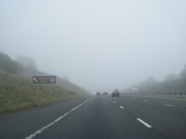
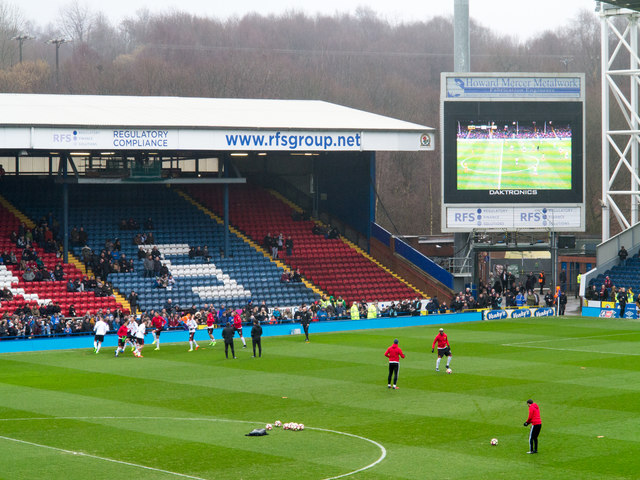
Ewood Park

Ewood Park () is a football stadium in Blackburn, Lancashire, England, and the home of Blackburn Rovers F.C., founding members of the Football League and...

Darwen Vale High School

Darwen Vale High School is a coeducational secondary school located in Darwen in the English county of Lancashire. The school converted to academy status...

Nearby Amenities

Located within 500m of 53.72354,-2.4882114
Oakdale
Place: hamlet
Lat/Long: 53.7201141/-2.4892704
Traffic Signals
Traffic Signals: signal
Lat/Long: 53.7243732/-2.4864942
Bus Stop
Public Transport: platform
Lat/Long: 53.7276973/-2.4905516
Bus Stop
Public Transport: platform
Lat/Long: 53.7251663/-2.4878663
Mini Roundabout
Direction: clockwise
Lat/Long: 53.7253578/-2.4881772
Power: tower
Ref: ZO 130
Lat/Long: 53.7201441/-2.4913692
Post Box
Post Box Design: type_g
Post Box Type: pillar
Ref: BB2 9
Royal Cypher: EIIR
Royal Cypher Wikidata: Q33102113
Lat/Long: 53.7277252/-2.490681
Place Of Worship
St. Bartholomew's
Addr City: Blackburn
Addr Postcode: BB2 4JJ
Addr Street: Jack Walker Way
Denomination: anglican
Religion: christian
Wikidata: Q105091272
Lat/Long: 53.7218091/-2.4915814
Generator Method: photovoltaic
Generator Output Electricity: yes
Generator Source: solar
Generator Type: solar_photovoltaic_panel
Location: roof
Power: generator
Lat/Long: 53.7190941/-2.4889643
Generator Method: photovoltaic
Generator Output Electricity: yes
Generator Source: solar
Generator Type: solar_photovoltaic_panel
Location: roof
Power: generator
Lat/Long: 53.7195353/-2.4885485
Generator Method: photovoltaic
Generator Output Electricity: yes
Generator Source: solar
Generator Type: solar_photovoltaic_panel
Location: roof
Power: generator
Lat/Long: 53.7201384/-2.4877761
Generator Method: photovoltaic
Generator Output Electricity: yes
Generator Source: solar
Generator Type: solar_photovoltaic_panel
Location: roof
Power: generator
Lat/Long: 53.7206003/-2.4863572
Generator Method: photovoltaic
Generator Output Electricity: yes
Generator Source: solar
Generator Type: solar_photovoltaic_panel
Location: roof
Power: generator
Lat/Long: 53.7208606/-2.4857778
Generator Method: photovoltaic
Generator Output Electricity: yes
Generator Source: solar
Generator Type: solar_photovoltaic_panel
Location: roof
Power: generator
Lat/Long: 53.720332/-2.4851716
Generator Method: photovoltaic
Generator Output Electricity: yes
Generator Source: solar
Generator Type: solar_photovoltaic_panel
Location: roof
Power: generator
Lat/Long: 53.7224381/-2.489211
Generator Method: photovoltaic
Generator Output Electricity: yes
Generator Source: solar
Generator Type: solar_photovoltaic_panel
Location: roof
Power: generator
Lat/Long: 53.7225095/-2.4881408
Generator Method: photovoltaic
Generator Output Electricity: yes
Generator Source: solar
Generator Type: solar_photovoltaic_panel
Location: roof
Power: generator
Lat/Long: 53.7226714/-2.4908177
Generator Method: photovoltaic
Generator Output Electricity: yes
Generator Source: solar
Generator Type: solar_photovoltaic_panel
Location: roof
Power: generator
Lat/Long: 53.7232364/-2.4915365
Generator Method: photovoltaic
Generator Output Electricity: yes
Generator Source: solar
Generator Type: solar_photovoltaic_panel
Location: roof
Power: generator
Lat/Long: 53.7226619/-2.4925853
Generator Method: photovoltaic
Generator Output Electricity: yes
Generator Source: solar
Generator Type: solar_photovoltaic_panel
Location: roof
Power: generator
Lat/Long: 53.7223016/-2.4939049
Generator Method: photovoltaic
Generator Output Electricity: yes
Generator Source: solar
Generator Type: solar_photovoltaic_panel
Location: roof
Power: generator
Lat/Long: 53.7236379/-2.4934194
Generator Method: photovoltaic
Generator Output Electricity: yes
Generator Source: solar
Generator Type: solar_photovoltaic_panel
Location: roof
Power: generator
Lat/Long: 53.7234903/-2.4911127
Generator Method: photovoltaic
Generator Output Electricity: yes
Generator Source: solar
Generator Type: solar_photovoltaic_panel
Location: roof
Power: generator
Lat/Long: 53.724333/-2.4928267
Generator Method: photovoltaic
Generator Output Electricity: yes
Generator Source: solar
Generator Type: solar_photovoltaic_panel
Location: roof
Power: generator
Lat/Long: 53.7247012/-2.4921266
Generator Method: photovoltaic
Generator Output Electricity: yes
Generator Source: solar
Generator Type: solar_photovoltaic_panel
Location: roof
Power: generator
Lat/Long: 53.7242521/-2.4903134
Generator Method: photovoltaic
Generator Output Electricity: yes
Generator Source: solar
Generator Type: solar_photovoltaic_panel
Location: roof
Power: generator
Lat/Long: 53.7251487/-2.4935348
Generator Method: photovoltaic
Generator Output Electricity: yes
Generator Source: solar
Generator Type: solar_photovoltaic_panel
Location: roof
Power: generator
Lat/Long: 53.7244901/-2.493347
Generator Method: photovoltaic
Generator Output Electricity: yes
Generator Source: solar
Generator Type: solar_photovoltaic_panel
Location: roof
Power: generator
Lat/Long: 53.7247171/-2.4952755
Generator Method: photovoltaic
Generator Output Electricity: yes
Generator Source: solar
Generator Type: solar_photovoltaic_panel
Location: roof
Power: generator
Lat/Long: 53.7261199/-2.4937172
Traffic Signals
Traffic Signals: signal
Lat/Long: 53.724336/-2.486549
Cycleway: asl
Lat/Long: 53.7243077/-2.4865136
Traffic Signals
Traffic Signals: signal
Lat/Long: 53.7239971/-2.4864057
Give Way
Lat/Long: 53.7242529/-2.4862722
Traffic Signals
Traffic Signals: signal
Lat/Long: 53.72414/-2.4860785
Cycleway: asl
Lat/Long: 53.7241391/-2.4861463
Crossing
Crossing: traffic_signals
Crossing Island: yes
Crossing Ref: puffin
Tactile Paving: yes
Lat/Long: 53.7241346/-2.4861931
Crossing
Crossing: traffic_signals
Crossing Island: yes
Crossing Ref: puffin
Tactile Paving: yes
Lat/Long: 53.7242187/-2.4863404
Cycleway: asl
Lat/Long: 53.7240282/-2.4864305
Give Way
Direction: backward
Lat/Long: 53.7239424/-2.4864365
Crossing
Crossing: traffic_signals
Crossing Island: yes
Crossing Ref: puffin
Tactile Paving: yes
Lat/Long: 53.7243555/-2.4864506
Crossing
Crossing: traffic_signals
Crossing Island: yes
Crossing Ref: puffin
Tactile Paving: yes
Lat/Long: 53.7242802/-2.4864879
Crossing
Crossing: traffic_signals
Crossing Island: yes
Crossing Ref: puffin
Tactile Paving: yes
Lat/Long: 53.7242858/-2.4866372
Give Way
Direction: backward
Lat/Long: 53.7250803/-2.4877303
Bus Stop
Bus: yes
Naptan AtcoCode: 2580EWD0007
Naptan NaptanCode: blagjdt
Public Transport: platform
Shelter: yes
Lat/Long: 53.7261441/-2.4892085
Bus Stop
Bus: yes
Naptan AtcoCode: 2580EWD0009
Naptan NaptanCode: blagjga
Public Transport: platform
Shelter: yes
Lat/Long: 53.72652/-2.4893599
Crossing
Crossing: traffic_signals
Crossing Island: no
Crossing Ref: puffin
Tactile Paving: yes
Lat/Long: 53.7258702/-2.4887456
Traffic Signals
Traffic Signals: crossing
Traffic Signals Direction: forward
Lat/Long: 53.7258935/-2.488776
Traffic Signals
Traffic Signals: crossing
Traffic Signals Direction: backward
Lat/Long: 53.7258456/-2.4887147
The data included in this document is from www.openstreetmap.org. The data is made available under ODbL.

Have you been to Fernhurst Wood?

Leave your review of Fernhurst Wood below (or comments, questions and feedback).