Milton
Settlement in Caithness
Scotland
Milton
The requested URL returned error: 429 Too Many Requests
If you have any feedback on the listing, please let us know in the comments section below.
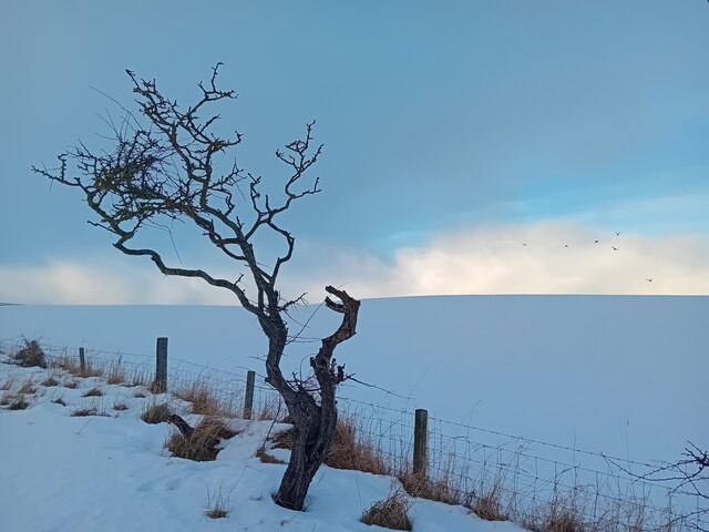
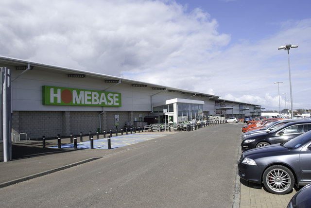
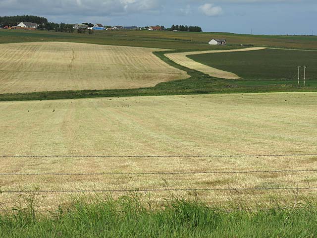
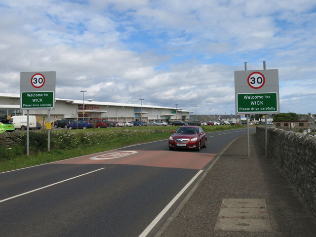
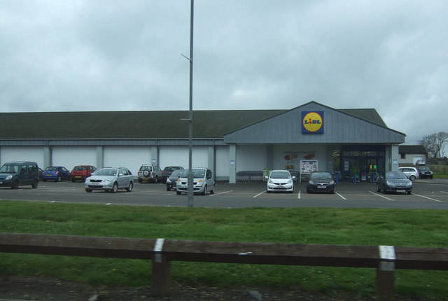
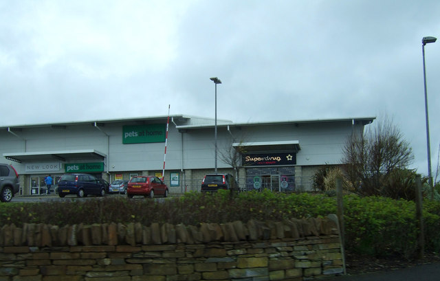
Milton Images
Images are sourced within 2km of 58.441131/-3.1182061 or Grid Reference ND3450. Thanks to Geograph Open Source API. All images are credited.


Milton is located at Grid Ref: ND3450 (Lat: 58.441131, Lng: -3.1182061)
Unitary Authority: Highland
Police Authority: Highlands and Islands
What 3 Words
///repeats.botanists.visual. Near Wick, Highland
Nearby Locations
Related Wikis
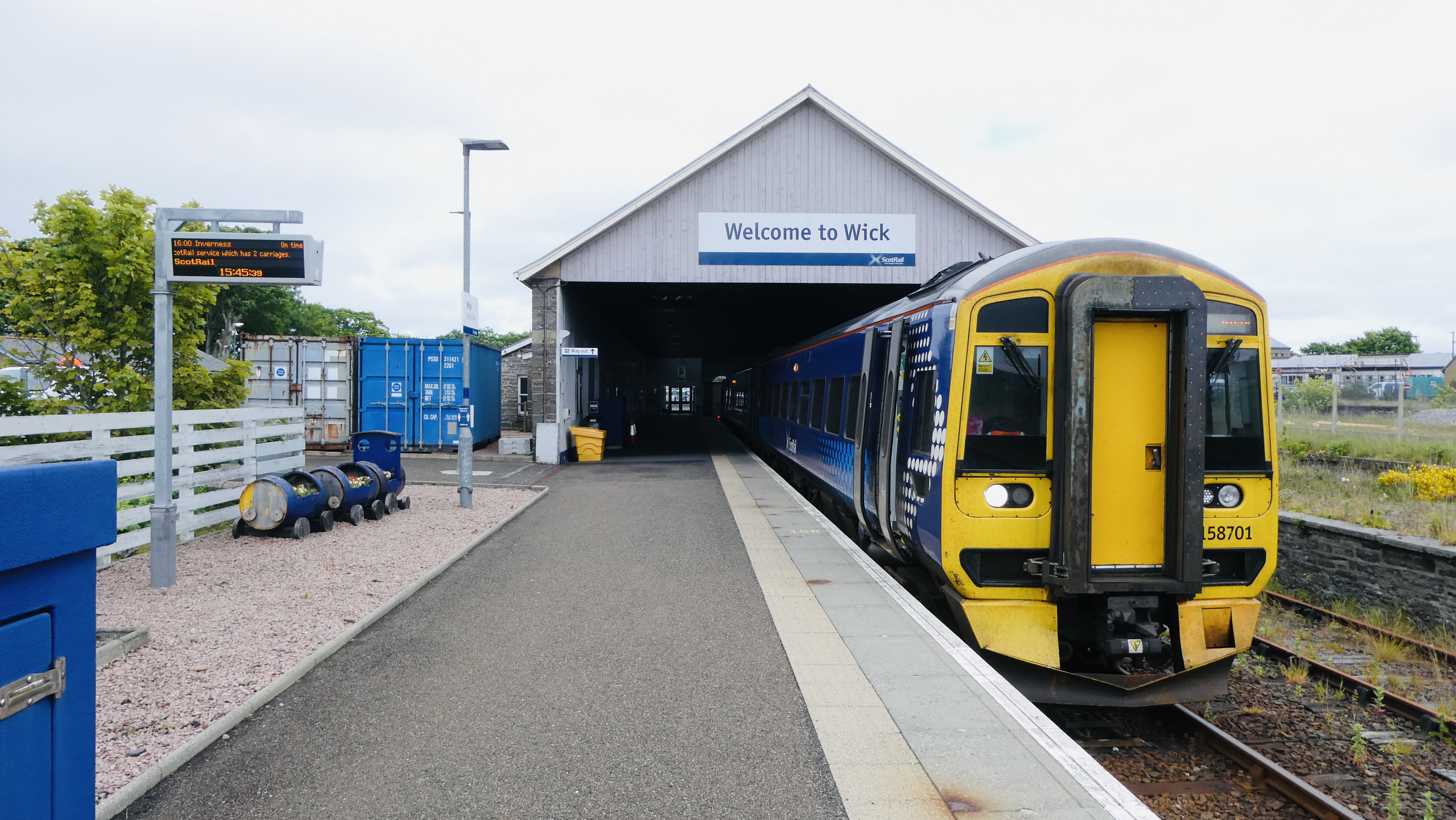
Wick railway station
Wick railway station is a railway station located in Wick, in the Highland council area in the far north of Scotland. It serves the town of Wick and other...

Wick High School
Wick High School is a secondary school in Wick, Scotland, under the control of The Highland Council. In September 2008 it had an enrolment of 838. Being...

Caithness General Hospital
Caithness General Hospital is a rural general hospital operated by NHS Highland, located in Wick, Caithness, Scotland. It is managed by NHS Highland....
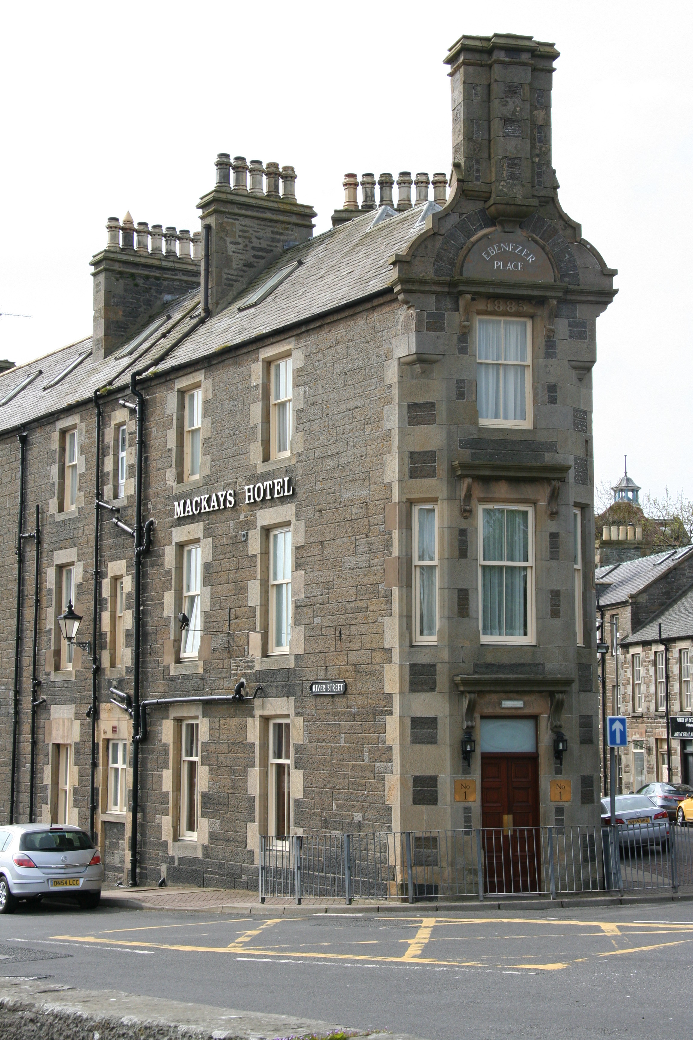
Ebenezer Place, Wick
Ebenezer Place, in Wick, Caithness, Scotland, is credited by the Guinness Book of Records as being the world's shortest street at 2.06 m (6 ft 9 in). The...
Nearby Amenities
Located within 500m of 58.441131,-3.1182061Have you been to Milton?
Leave your review of Milton below (or comments, questions and feedback).